Mol an Dunain
Coastal Marsh, Saltings in Ross-shire
Scotland
Mol an Dunain
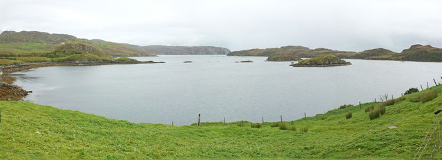
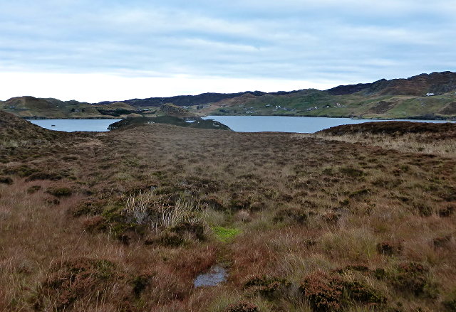
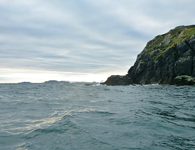
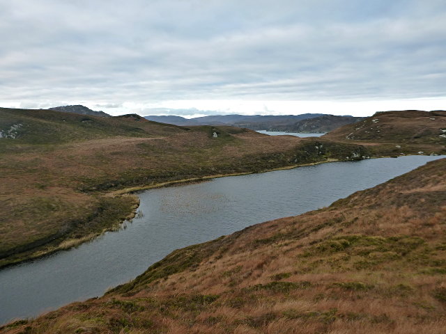
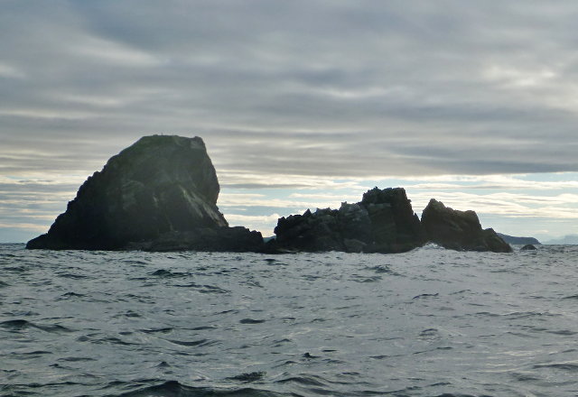
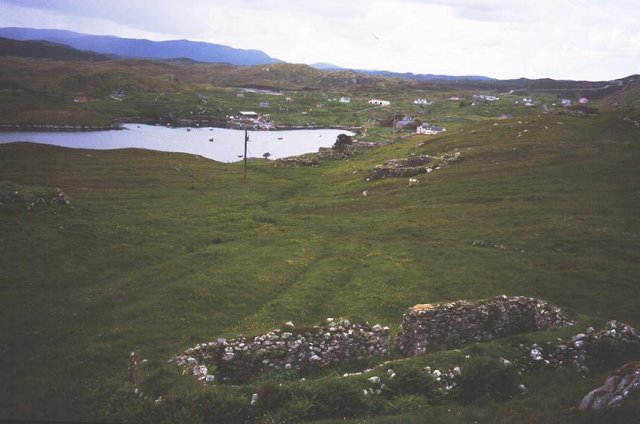
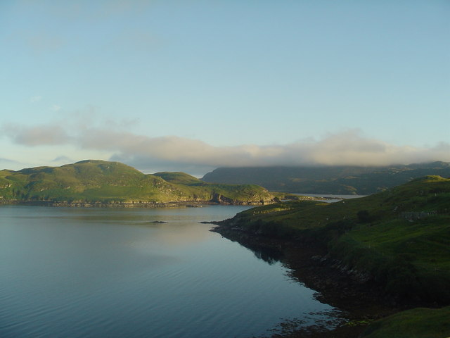
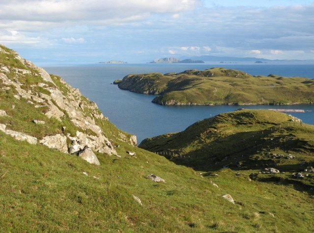
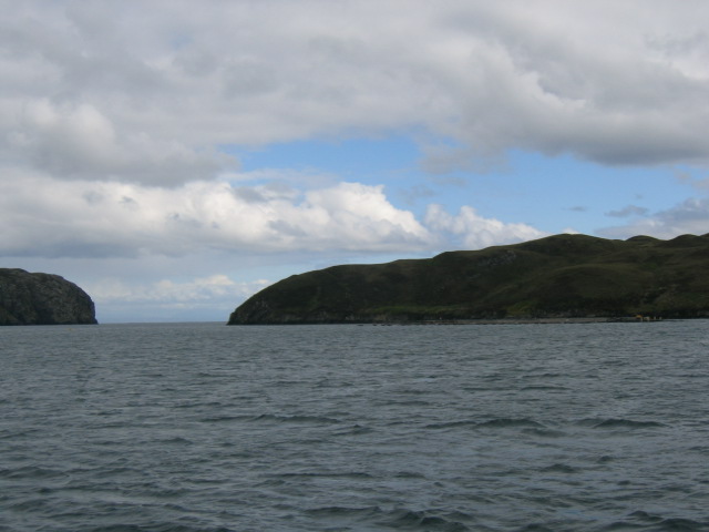
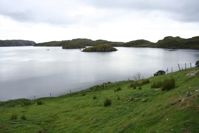
Mol an Dunain is a coastal marsh located in Ross-shire, Scotland. It is situated on the western coast, specifically in the area known as the Saltings. This marshland spans approximately 4 square kilometers and is characterized by its diverse flora and fauna, as well as its unique geological features.
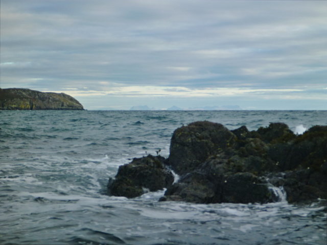
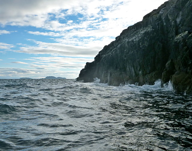
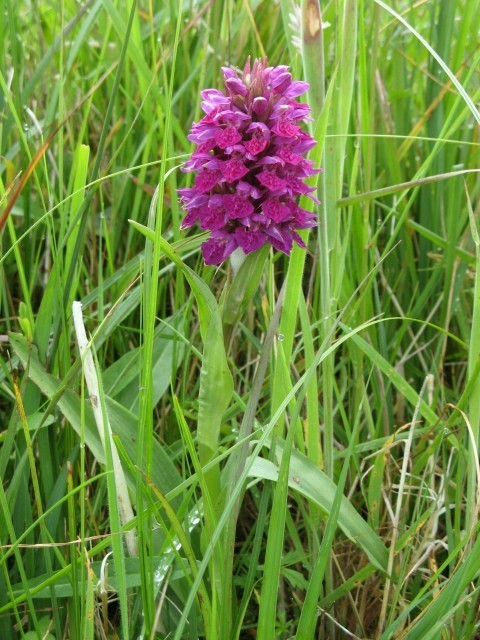
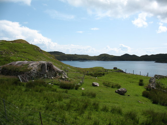
The marsh is surrounded by breathtaking natural landscapes, including sandy beaches, dunes, and a limestone ridge. These different habitats contribute to the rich biodiversity found in Mol an Dunain. The area is home to numerous bird species, such as oystercatchers, curlews, and herons, making it a popular spot for birdwatchers.
The marshland is also known for its archaeological significance. There are several ancient sites within Mol an Dunain, including a broch – a type of Iron Age roundhouse – and a Viking burial ground. These remnants of early human settlements provide valuable insights into the history and culture of the region.
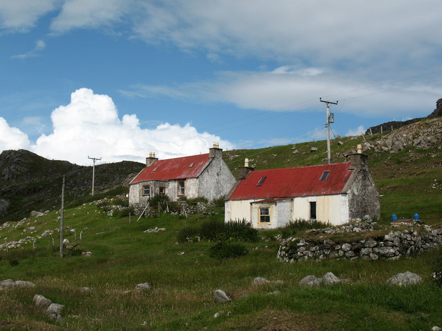
Access to Mol an Dunain is primarily via boat or by foot. Visitors can enjoy walking along the coastal paths, observing the wildlife, and exploring the ancient ruins. The marshland offers a tranquil and serene environment, making it a favorite destination for nature enthusiasts and those seeking a peaceful retreat.
Overall, Mol an Dunain in Ross-shire is a captivating coastal marshland that boasts a diverse ecosystem, archaeological treasures, and stunning natural beauty. It is a place where history, wildlife, and scenic landscapes come together, providing a unique and enriching experience for all who visit.
If you have any feedback on the listing, please let us know in the comments section below.
Mol an Dunain Images
Images are sourced within 2km of 57.998653/-6.437612 or Grid Reference NB3709. Thanks to Geograph Open Source API. All images are credited.


Mol an Dunain is located at Grid Ref: NB3709 (Lat: 57.998653, Lng: -6.437612)
Unitary Authority: Na h-Eileanan an Iar
Police Authority: Highlands and Islands
What 3 Words
///fighters.wiring.joked. Near Leurbost, Na h-Eileanan Siar
Related Wikis

Eilean Liubhaird
Eilean Liubhaird or Eilean Iubhard is an island in the Outer Hebrides, to the east of Lewis. == Geography and geology == The rock is "gneiss bedrock with...

Orinsay
Orinsay (Scottish Gaelic: Orasaigh) is a crofting village on the Isle of Lewis in the district of Pairc, in the Outer Hebrides, Scotland. The settlement...

Stiomrabhaig
Stiomrabhaig is an abandoned crofter's village on the Isle of Lewis in the Outer Hebrides. == History == The United Kingdom Census 1851 shows that the...

Gravir
Gravir (Scottish Gaelic: Grabhair), is a village on the shore of Loch Odhairn (a sea loch) in the Park district of the Isle of Lewis. Gravir is within...

Park, Lewis
Park (Scottish Gaelic: A' Phàirc), also known as South Lochs, is a huge area of land connected to the rest of Lewis only by a narrow neck between Loch...

Calbost
Calbost (Scottish Gaelic: Calabost) is a village on the Isle of Lewis in the Outer Hebrides, Scotland. Calbost is within the parish of Lochs, and within...
Nearby Amenities
Located within 500m of 57.998653,-6.437612Have you been to Mol an Dunain?
Leave your review of Mol an Dunain below (or comments, questions and feedback).