Creag an Dunain
Cliff, Slope in Ross-shire
Scotland
Creag an Dunain
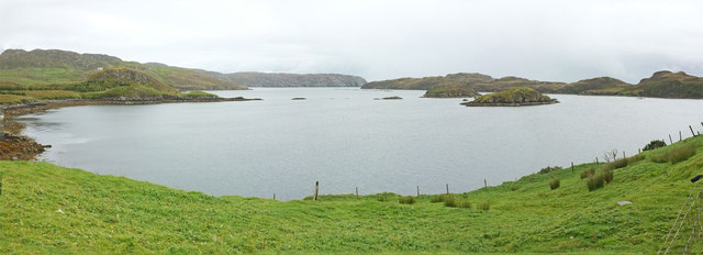
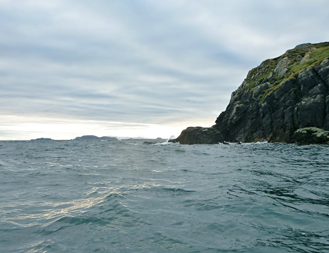
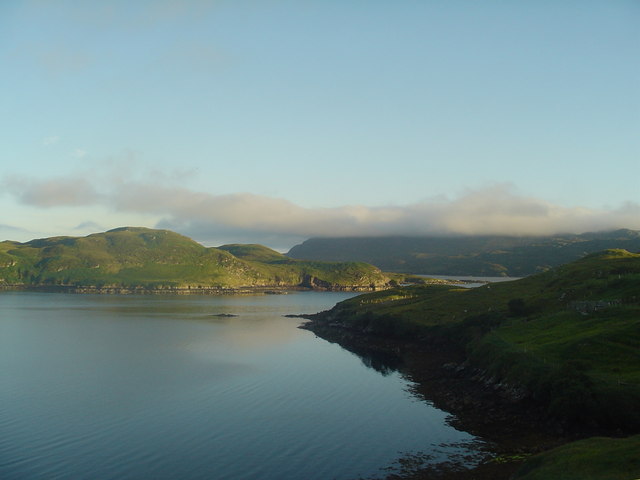
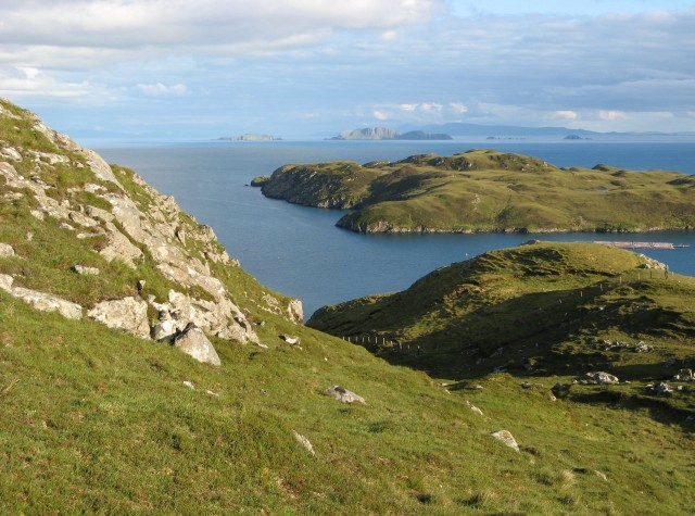
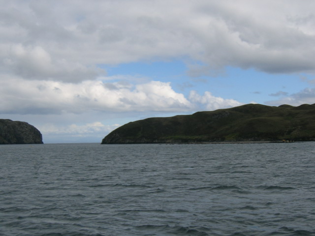
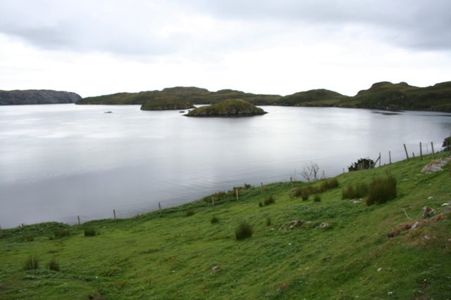
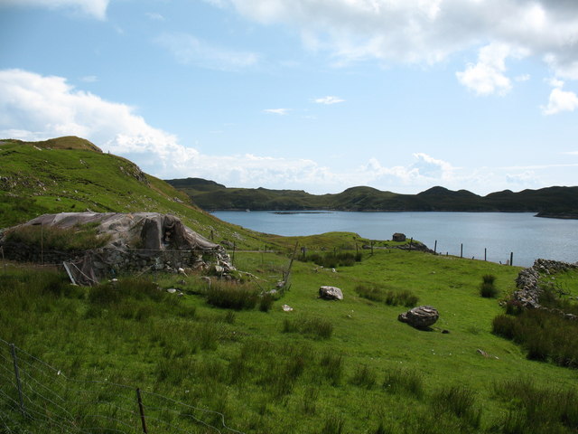
Creag an Dunain is a prominent cliff located in Ross-shire, Scotland. It is situated near the town of Inverness, overlooking the picturesque Beauly Firth. The name Creag an Dunain translates to "cliff of the fort" in Gaelic, hinting at the historical significance of this site.
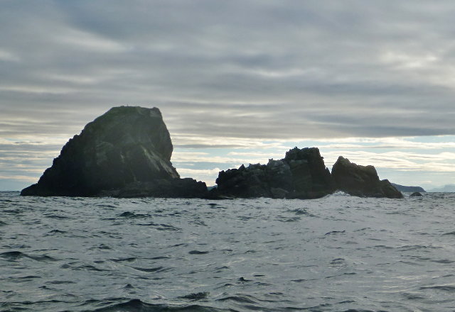
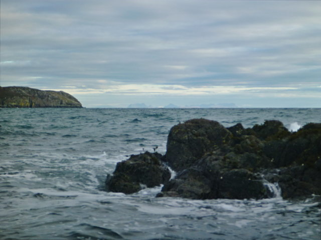
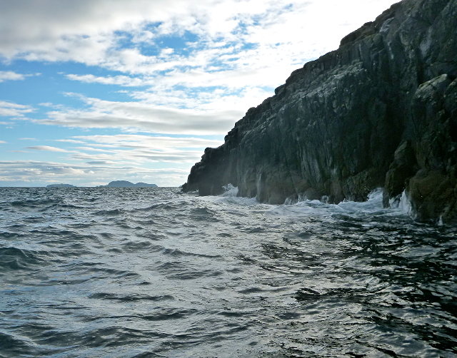
This majestic cliff stands approximately 30 meters high, offering breathtaking views of the surrounding landscape. Its rugged and rocky appearance adds to its allure. The cliff is composed of layers of sedimentary rocks, which display various colors and textures, providing a fascinating geological display for visitors.
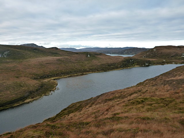
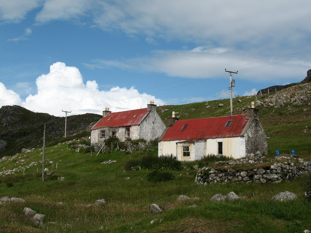
The area surrounding Creag an Dunain is rich in archaeological heritage. It is believed to have been a significant fortification site during the Iron Age, with remnants of ancient settlements and defensive structures still visible. Excavations have uncovered artifacts such as tools, weapons, and pottery, shedding light on the lives of the people who once inhabited this cliffside location.
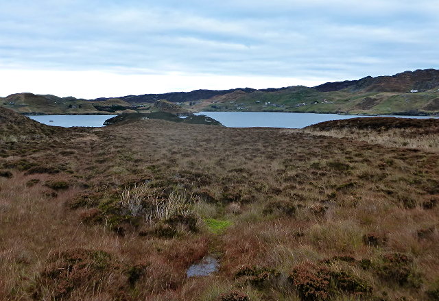
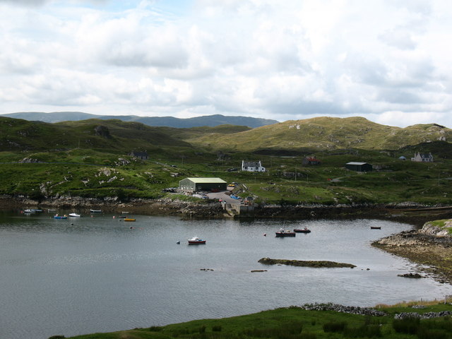
In addition to its historical and geological significance, Creag an Dunain is also a haven for wildlife enthusiasts. The cliff provides nesting sites for various bird species, including ravens, peregrine falcons, and buzzards. The surrounding woodland and grasslands support a diverse range of flora and fauna, making it an attractive destination for nature lovers.
Access to Creag an Dunain is relatively easy, with a well-maintained path leading to the cliff. Visitors can enjoy leisurely walks, taking in the stunning views and immersing themselves in the rich history and natural beauty of this remarkable location.
If you have any feedback on the listing, please let us know in the comments section below.
Creag an Dunain Images
Images are sourced within 2km of 57.998117/-6.4403405 or Grid Reference NB3709. Thanks to Geograph Open Source API. All images are credited.


Creag an Dunain is located at Grid Ref: NB3709 (Lat: 57.998117, Lng: -6.4403405)
Unitary Authority: Na h-Eileanan an Iar
Police Authority: Highlands and Islands
What 3 Words
///bound.scrub.format. Near Leurbost, Na h-Eileanan Siar
Related Wikis

Eilean Liubhaird
Eilean Liubhaird or Eilean Iubhard is an island in the Outer Hebrides, to the east of Lewis. == Geography and geology == The rock is "gneiss bedrock with...

Orinsay
Orinsay (Scottish Gaelic: Orasaigh) is a crofting village on the Isle of Lewis in the district of Pairc, in the Outer Hebrides, Scotland. The settlement...

Stiomrabhaig
Stiomrabhaig is an abandoned crofter's village on the Isle of Lewis in the Outer Hebrides. == History == The United Kingdom Census 1851 shows that the...

Gravir
Gravir (Scottish Gaelic: Grabhair), is a village on the shore of Loch Odhairn (a sea loch) in the Park district of the Isle of Lewis. Gravir is within...

Park, Lewis
Park (Scottish Gaelic: A' Phàirc), also known as South Lochs, is a huge area of land connected to the rest of Lewis only by a narrow neck between Loch...

Calbost
Calbost (Scottish Gaelic: Calabost) is a village on the Isle of Lewis in the Outer Hebrides, Scotland. Calbost is within the parish of Lochs, and within...
Nearby Amenities
Located within 500m of 57.998117,-6.4403405Have you been to Creag an Dunain?
Leave your review of Creag an Dunain below (or comments, questions and feedback).