Ash Covert
Wood, Forest in Suffolk East Suffolk
England
Ash Covert

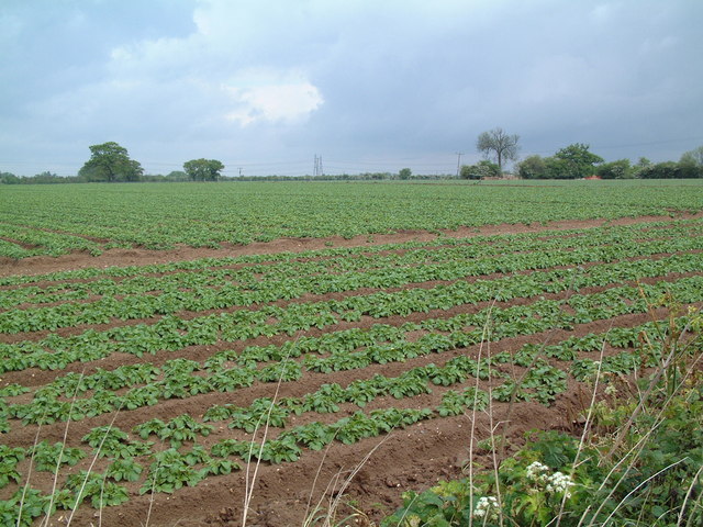
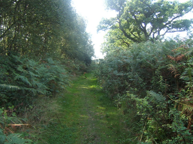
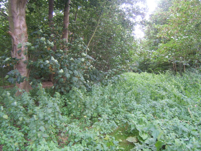
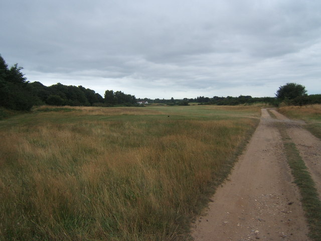
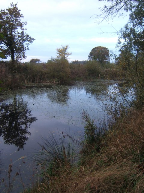
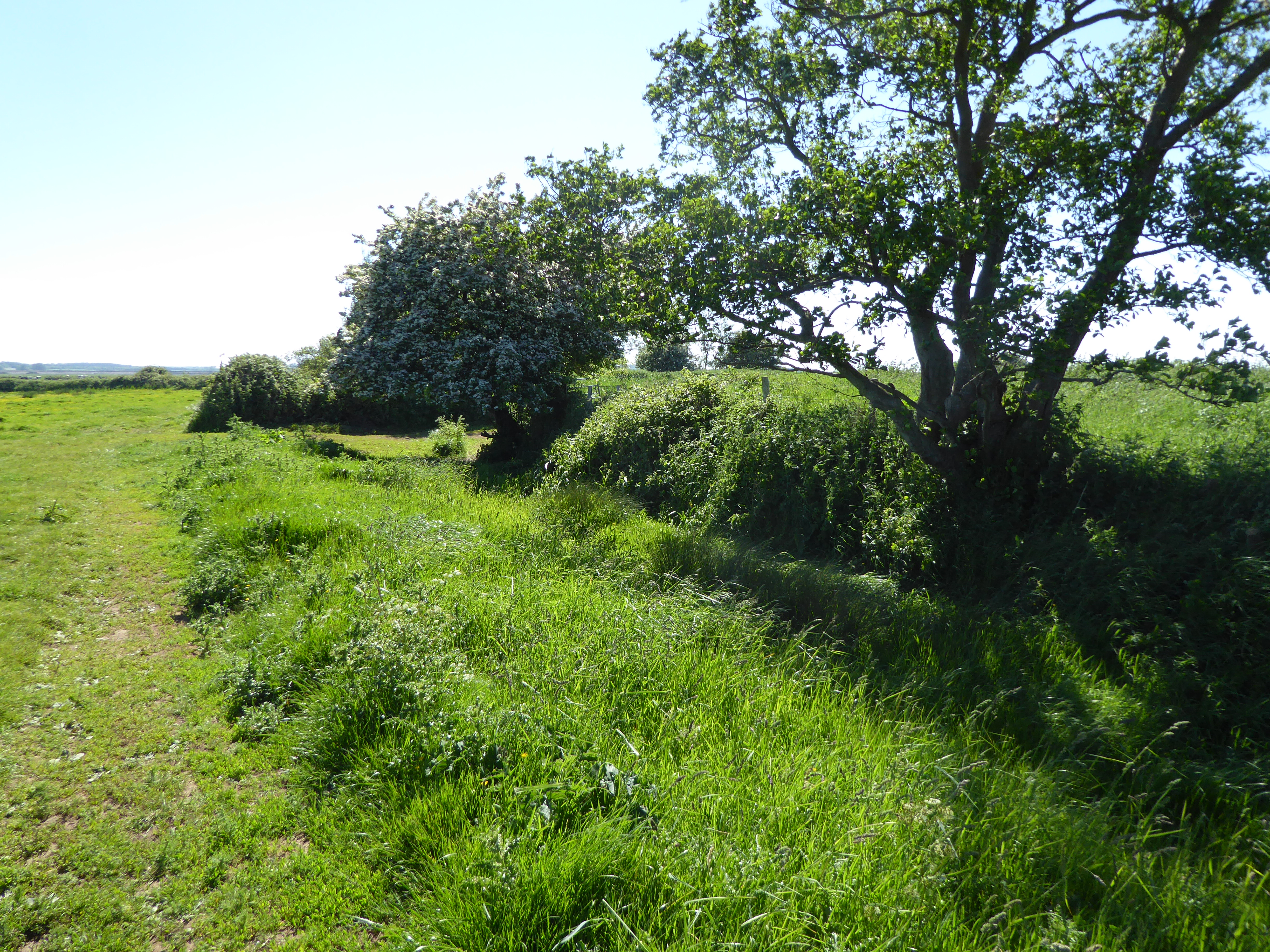
Ash Covert is a small woodland area located in Suffolk, England. Situated near the village of Ashfield, it is known for its picturesque beauty and serene atmosphere. Covering an area of approximately 100 acres, Ash Covert is predominantly made up of dense woodland, with a variety of tree species such as oak, ash, and beech.
The woodland is home to an array of wildlife, including deer, squirrels, and a wide variety of bird species. The diverse ecosystem provides a habitat for many animals, making it a popular destination for nature enthusiasts and birdwatchers.
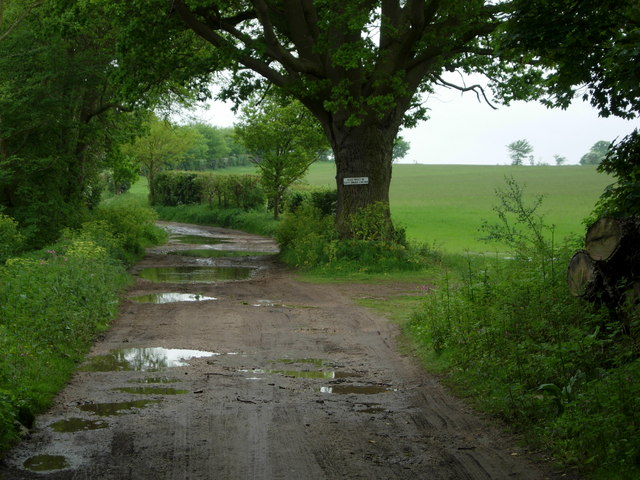
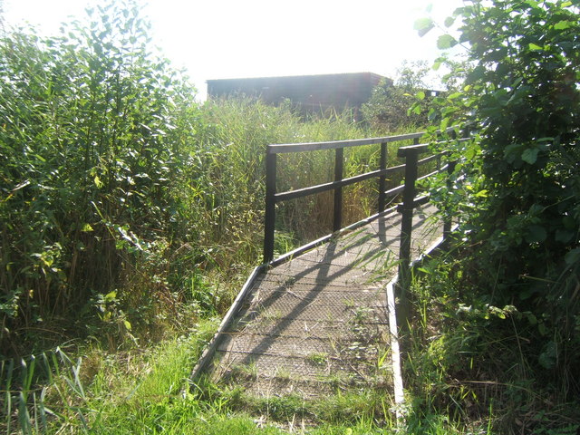
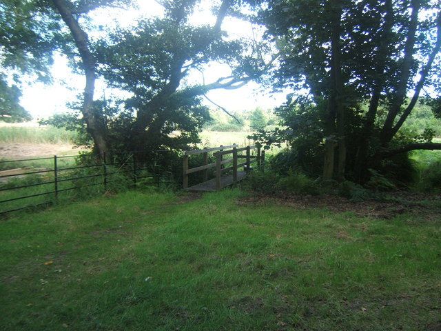
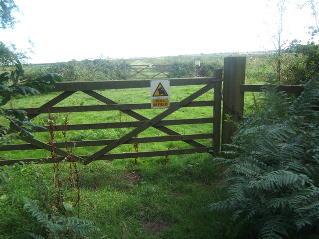
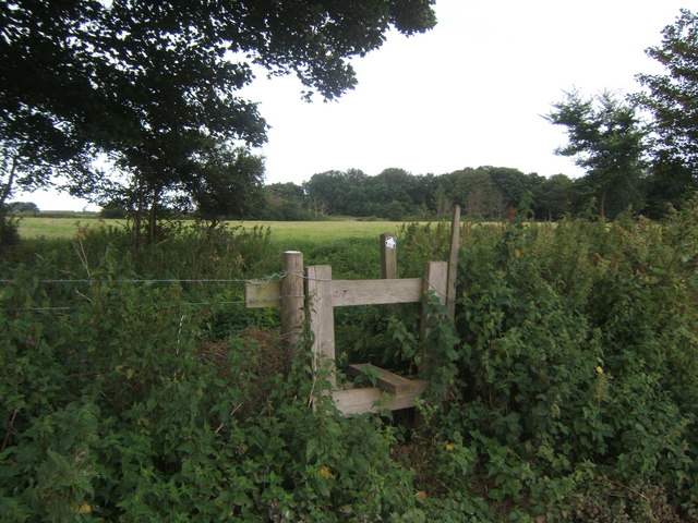
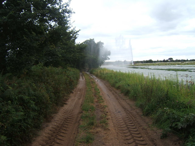
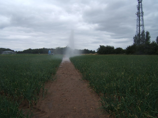
Ash Covert offers several footpaths and trails that allow visitors to explore the area and enjoy the tranquil surroundings. These trails provide opportunities for leisurely walks, jogging, and cycling. The winding paths lead visitors through the heart of the woodland, passing by ancient trees and offering glimpses of the local wildlife.
The woodland also holds historical significance, as it was once part of the ancient hunting grounds of the nearby Ashfield Hall. The remnants of an old hunting lodge can still be found within the woods, adding to the area's charm and allure.
In addition to its natural beauty, Ash Covert provides a peaceful retreat for those seeking solace and relaxation. The calm atmosphere and stunning scenery make it an ideal spot for picnics, meditation, or simply unwinding amidst nature.
Overall, Ash Covert in Suffolk is a hidden gem that offers a peaceful escape from the hustle and bustle of everyday life. Its enchanting woodland, diverse wildlife, and rich history make it a must-visit destination for nature lovers and those seeking tranquility.
If you have any feedback on the listing, please let us know in the comments section below.
Ash Covert Images
Images are sourced within 2km of 52.166894/1.5511445 or Grid Reference TM4258. Thanks to Geograph Open Source API. All images are credited.


Ash Covert is located at Grid Ref: TM4258 (Lat: 52.166894, Lng: 1.5511445)
Administrative County: Suffolk
District: East Suffolk
Police Authority: Suffolk
What 3 Words
///brushing.readjust.interacts. Near Aldeburgh, Suffolk
Nearby Locations
Related Wikis
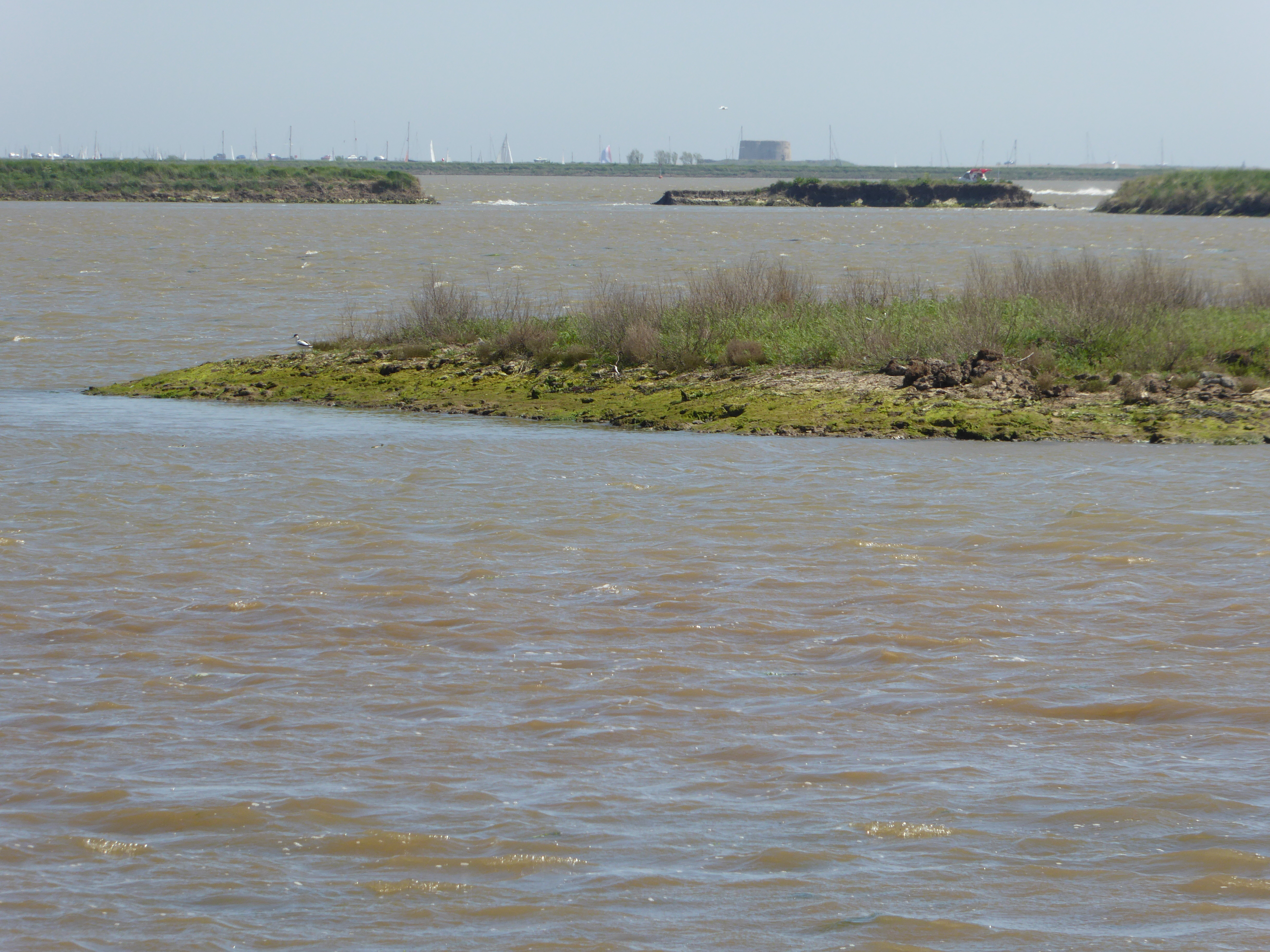
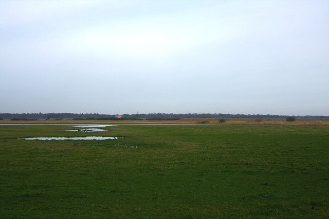
Hazlewood Marshes
Hazlewood Marshes is a 64 hectare nature reserve west of Aldeburgh in Suffolk. It is managed by the Suffolk Wildlife Trust. It is in the Alde-Ore Estuary...
Round Hill Pit, Aldeburgh
Round Hill Pit, Aldeburgh is a 0.5-hectare (1.2-acre) geological Site of Special Scientific Interest in Aldeburgh in Suffolk. It is a Geological Conservation...

A1094 road
The A1094 is an A road in the English county of Suffolk. It is around 7 miles (11 km) in length. The road runs from a junction off the A12 trunk road at...

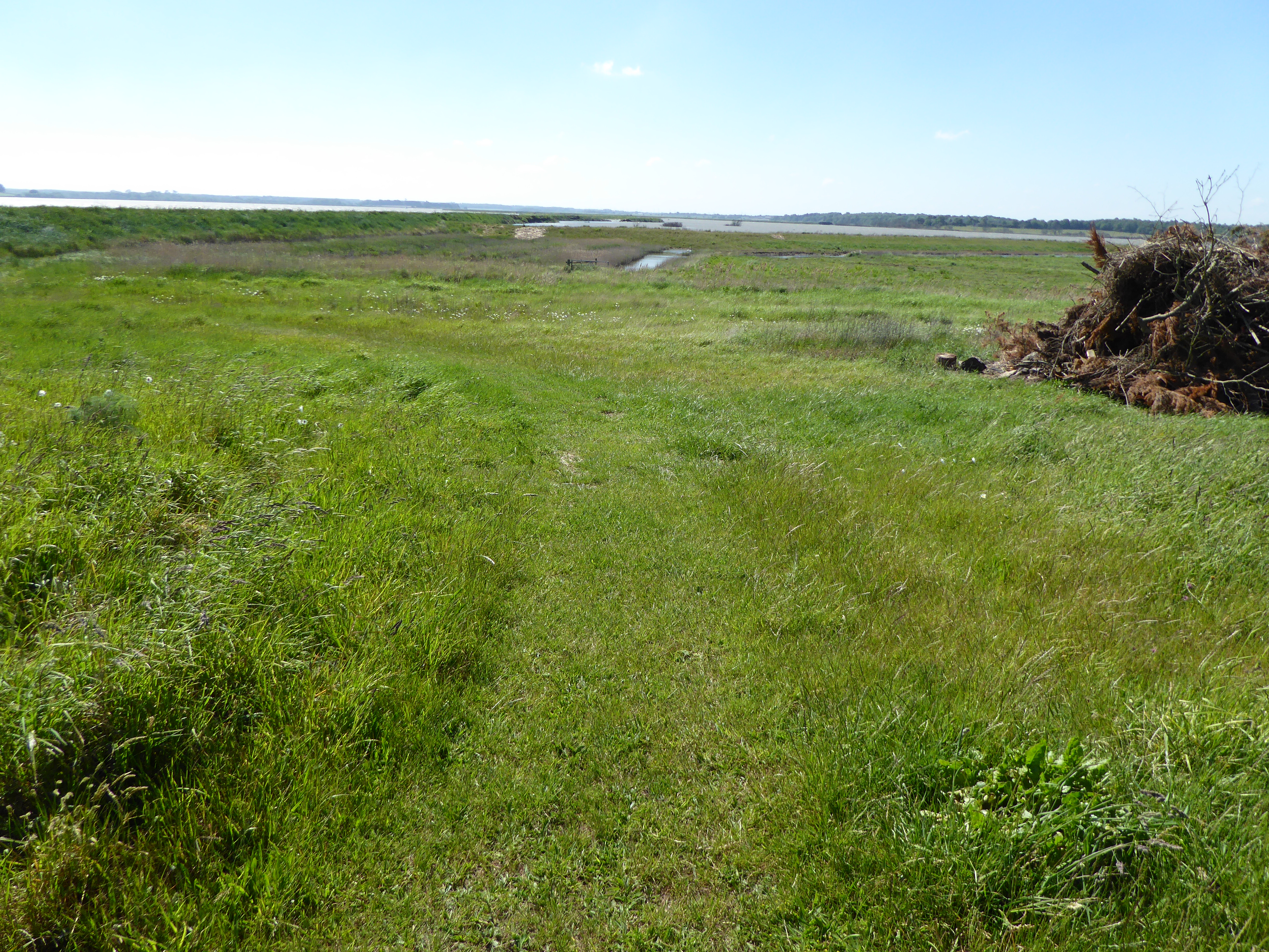
Snape Warren
Snape Warren is a 48 hectare biological Site of Special Scientific Interest east of Snape in Suffolk. It is part of the Sandlings Special Protection Area...

Aldeburgh Brick Pit
Aldeburgh Brick Pit is a 0.9-hectare (2.2-acre) geological Site of Special Scientific Interest in Aldeburgh in Suffolk. It is a Geological Conservation...

The Red House, Aldeburgh
The Red House, in the coastal town of Aldeburgh, Suffolk, England, was the home of the composer Benjamin Britten, from 1957 until his death in 1976, and...
Aldeburgh Hall Pit
Aldeburgh Hall Pit is a one hectare geological Site of Special Scientific Interest in Aldeburgh in Suffolk. It is a Geological Conservation Review site...
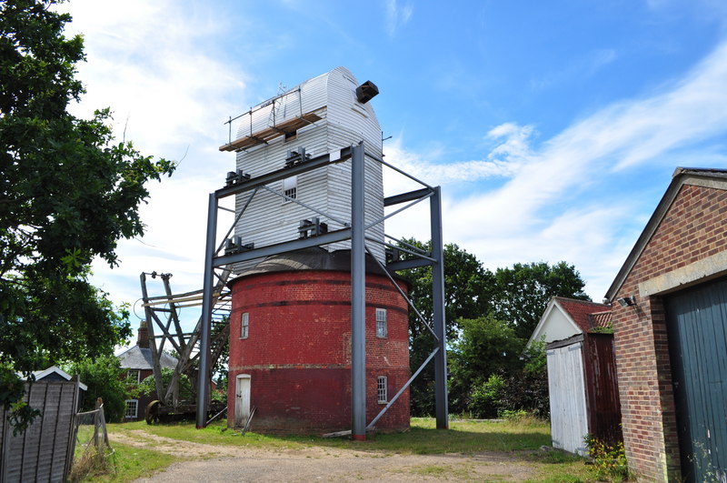
Friston Windmill
Friston Windmill is a Grade II* listed post mill at Friston, Suffolk, England which has been conserved. == History == Friston Windmill was moved from...
Nearby Amenities
Located within 500m of 52.166894,1.5511445Have you been to Ash Covert?
Leave your review of Ash Covert below (or comments, questions and feedback).