Decoyhill Covert

Wood, Forest in Suffolk East Suffolk

England

Decoyhill Covert

Farmland near Knodishall The light, sandy soil typical of this part of Suffolk can be seen clearly in this field; the electricity pylons in the distance are two grid squares away.
Farmland near Knodishall Credit: David Squire

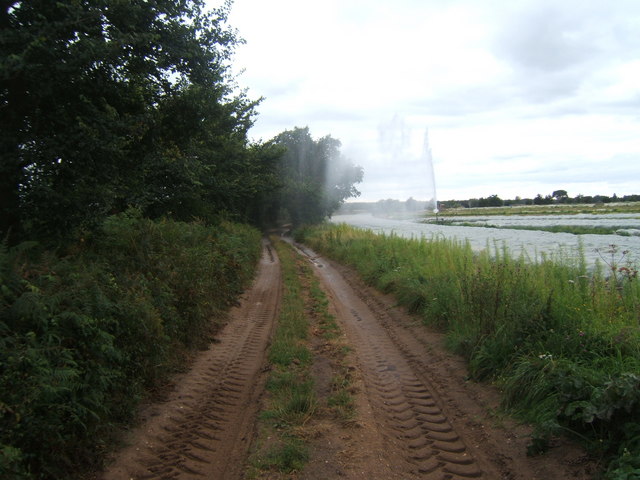
Decoyhill Covert is a picturesque woodland located in the county of Suffolk, England. Situated near the village of Woodbridge, this enchanting forest covers an area of approximately 200 acres and is known for its diverse flora and fauna.

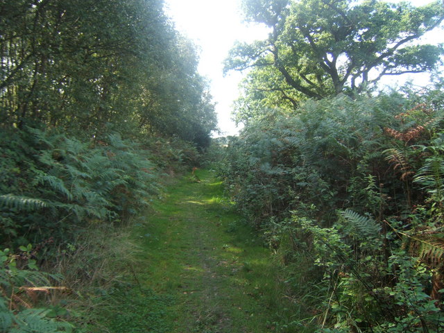
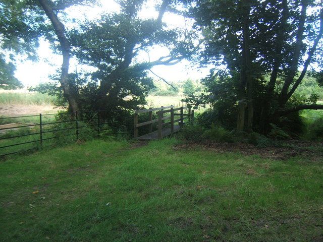
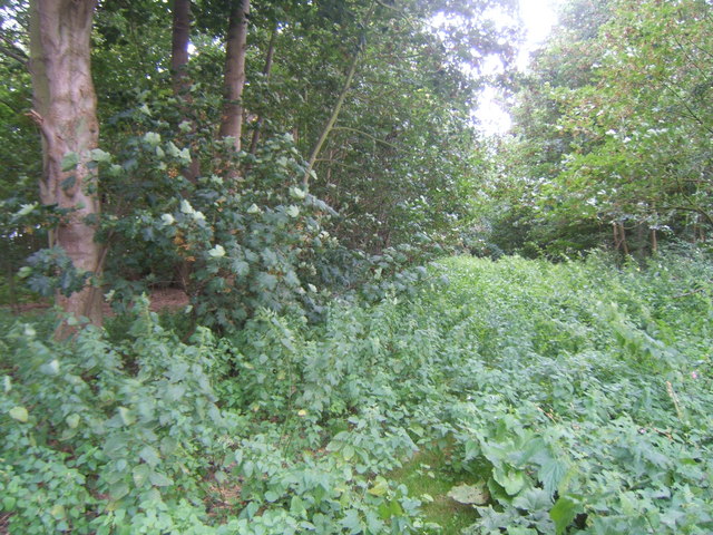
The woodland is characterized by a mix of broadleaf and coniferous trees, including oak, beech, and pine. These towering trees create a dense canopy that provides ample shade and a tranquil environment for visitors. Decoyhill Covert is particularly renowned for its beautiful bluebell carpet, which blooms in spring, transforming the forest floor into a sea of vibrant colors.

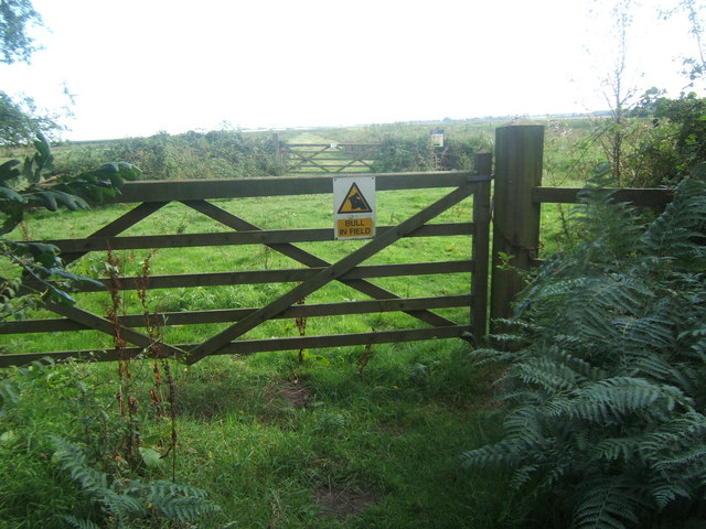
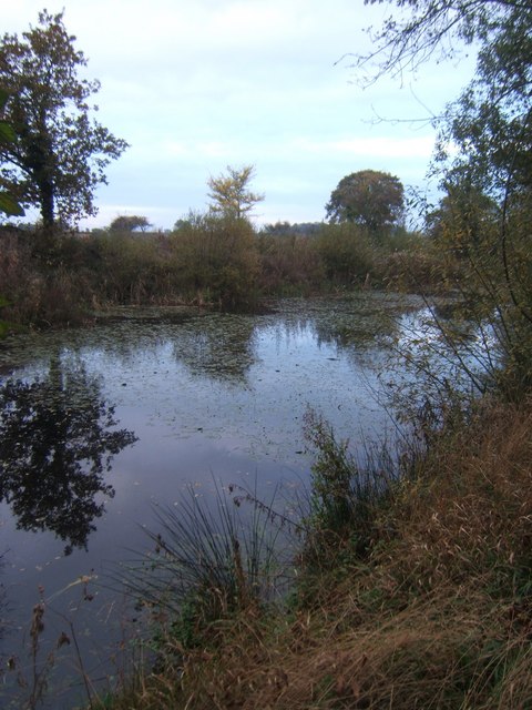
The woodland is home to a wide variety of wildlife, making it a popular spot for nature enthusiasts and birdwatchers. Visitors may spot species such as deer, foxes, rabbits, and a plethora of bird species, including woodpeckers, owls, and warblers. The forest is also known to be a habitat for several rare and endangered species, further enhancing its ecological significance.

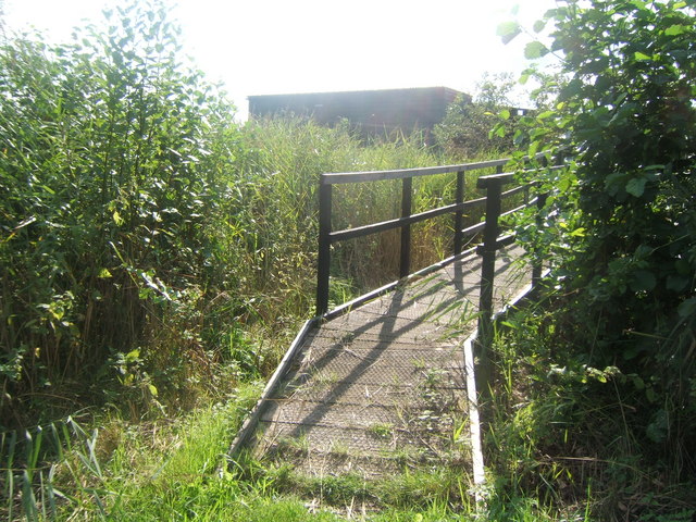
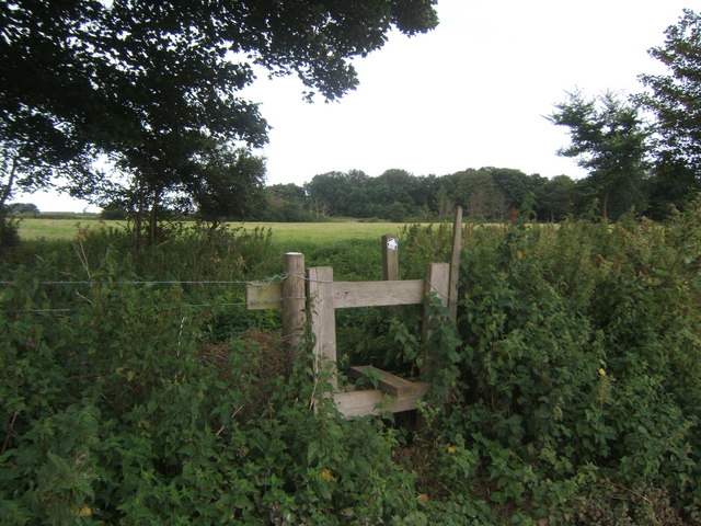
Decoyhill Covert offers several well-maintained footpaths and trails, allowing visitors to explore its natural beauty. The forest is a haven for walkers, joggers, and cyclists, who can revel in the serene atmosphere and immerse themselves in the surrounding tranquility. Additionally, the woodland provides ample opportunities for picnicking and photography, with numerous scenic spots offering breathtaking views.

Overall, Decoyhill Covert in Suffolk is a hidden gem, offering a peaceful retreat amidst nature's splendor. Its rich biodiversity, stunning bluebell displays, and well-maintained trails make it a must-visit destination for nature lovers seeking an escape from the hustle and bustle of everyday life.

If you have any feedback on the listing, please let us know in the comments section below.

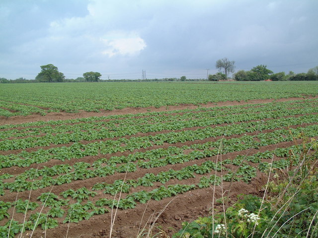
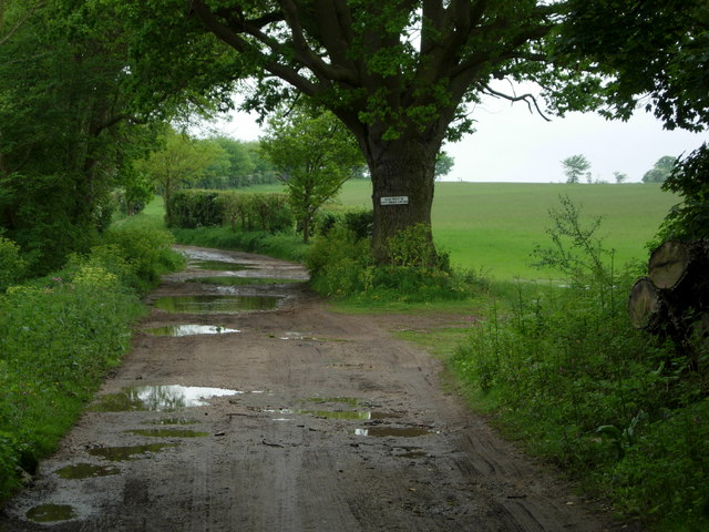
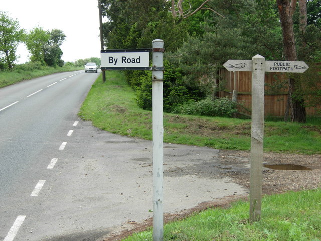
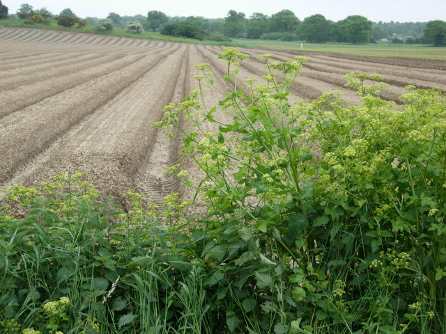
Decoyhill Covert Images

Images are sourced within 2km of 52.175514/1.5384889 or Grid Reference TM4258. Thanks to Geograph Open Source API. All images are credited.

Farmland near Knodishall The light, sandy soil typical of this part of Suffolk can be seen clearly in this field; the electricity pylons in the distance are two grid squares away.
Farmland near Knodishall
The light, sandy soil typical of this part of Suffolk can be seen clearly in this field; the electricity pylons in the distance are two grid squares away.
Bridleway to Snape The evidence of a very wet May can be seen on this bridleway leading towards Snape.  The notice on the tree says that dogs must be kept under control.
Bridleway to Snape
The evidence of a very wet May can be seen on this bridleway leading towards Snape. The notice on the tree says that dogs must be kept under control.
A1094 near Snape At this point a footpath leads off to the right towards Sternfield and a minor road to the left towards Snape village.  Minor roads are commonly signposted 'By Road' in Suffolk.
A1094 near Snape
At this point a footpath leads off to the right towards Sternfield and a minor road to the left towards Snape village. Minor roads are commonly signposted 'By Road' in Suffolk.
Farmland near Snape Farmland to the east of Snape village near Rookery Farm.
Farmland near Snape
Farmland to the east of Snape village near Rookery Farm.
Hosking Hide at Hazlewood Marshes The hide, which commemorates the late photographer Eric Hosking, has views out over the River Alde and Ham Creek.
Hosking Hide at Hazlewood Marshes
The hide, which commemorates the late photographer Eric Hosking, has views out over the River Alde and Ham Creek.
Footpath in Black Heath Forest near Snape This is part of the Sailors' Path.
Footpath in Black Heath Forest near Snape
This is part of the Sailors' Path.
Footbridge, Black Heath Forest
Gate across path leading to the Hosking Hide, Hazlewood Marshes If there was a bull in the field it wasn't very obvious.
Gate across path leading to the Hosking Hide, Hazlewood Marshes
If there was a bull in the field it wasn't very obvious.
Sailors' Path Cottages near Snape
Arable field - Snape
Footpath through Miller's Covert You needed not to mind about nettle stings to get through here!
Footpath through Miller's Covert
You needed not to mind about nettle stings to get through here!
Stile at 'The Belts'.
Farm track and footpath near Ten Acre covert It needed careful timing to dodge the irrigation spray!
Farm track and footpath near Ten Acre covert
It needed careful timing to dodge the irrigation spray!
Lily Pond between Rushmere Lodge Farm and Hazlewood Hall Farm
Sheep in a field next to the Sailors' Path
River Alde from near a house in Blackheath.
Part of Black Heath Wood looking toward Long Reach.
A small house in Black Heath Wood.
Show me another place!

Decoyhill Covert is located at Grid Ref: TM4258 (Lat: 52.175514, Lng: 1.5384889)

Administrative County: Suffolk

District: East Suffolk

Police Authority: Suffolk

What 3 Words

///presides.nests.complies. Near Leiston, Suffolk

Related Wikis

A1094 road

The A1094 is an A road in the English county of Suffolk. It is around 7 miles (11 km) in length. The road runs from a junction off the A12 trunk road at...
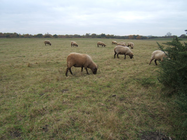
Snape Warren

Snape Warren is a 48 hectare biological Site of Special Scientific Interest east of Snape in Suffolk. It is part of the Sandlings Special Protection Area...
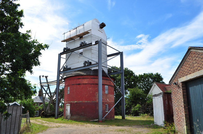
Friston Windmill

Friston Windmill is a Grade II* listed post mill at Friston, Suffolk, England which has been conserved. == History == Friston Windmill was moved from...

Friston

Friston is a village and civil parish in the East Suffolk district, in the county of Suffolk, England. It is 3 miles (5 km) southeast of Saxmundham, its...

Nearby Amenities

Located within 500m of 52.175514,1.5384889
Bus Stop
Blackheath Corner
Naptan AtcoCode: 390060173
Naptan Bearing: NW
Naptan CommonName: Blackheath Corner
Naptan Indicator: adj
Naptan Landmark: Blackheath Corner
Naptan NaptanCode: sufgmwdw
Naptan Street: A1094
Naptan Verified: no
Source: naptan_import
Lat/Long: 52.1788454/1.5378725
Bus Stop
Blackheath Corner
Naptan AtcoCode: 390060174
Naptan Bearing: SE
Naptan CommonName: Blackheath Corner
Naptan Indicator: opp
Naptan Landmark: Blackheath Corner
Naptan NaptanCode: sufgmwga
Naptan Street: A1094
Naptan Verified: no
Source: naptan_import
Lat/Long: 52.1787774/1.5378325
The data included in this document is from www.openstreetmap.org. The data is made available under ODbL.

Have you been to Decoyhill Covert?

Leave your review of Decoyhill Covert below (or comments, questions and feedback).