Raspberry Covert
Wood, Forest in Suffolk East Suffolk
England
Raspberry Covert
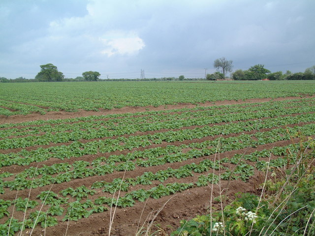
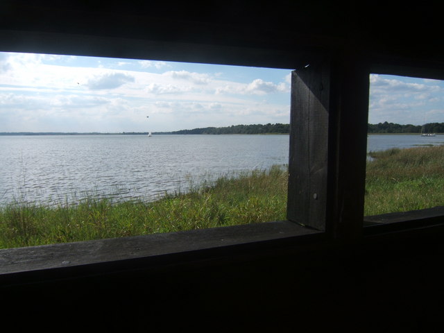
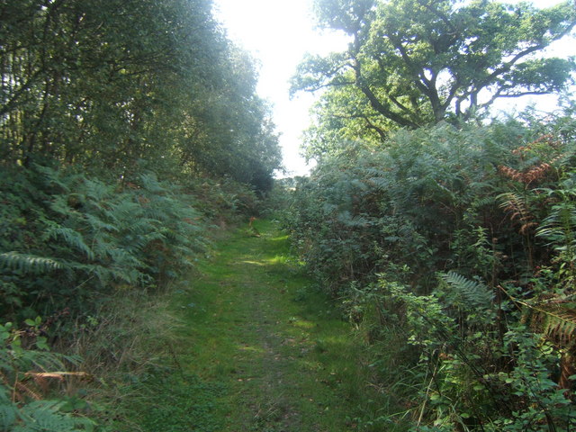
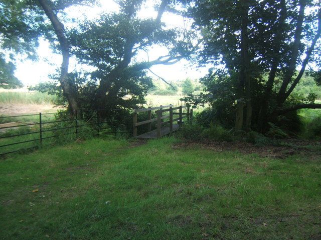
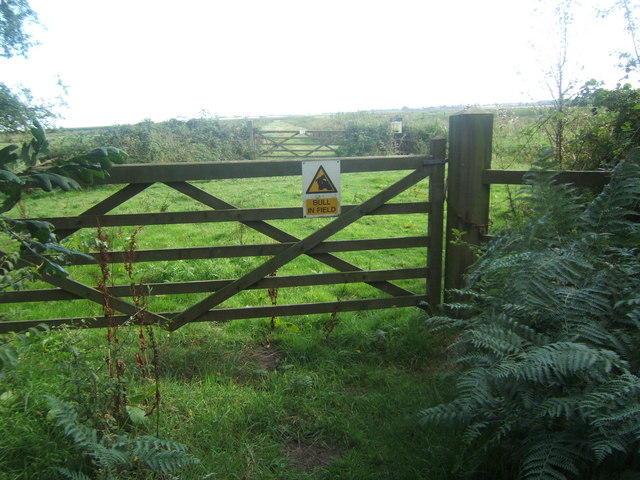
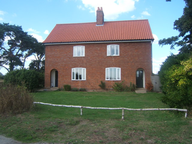
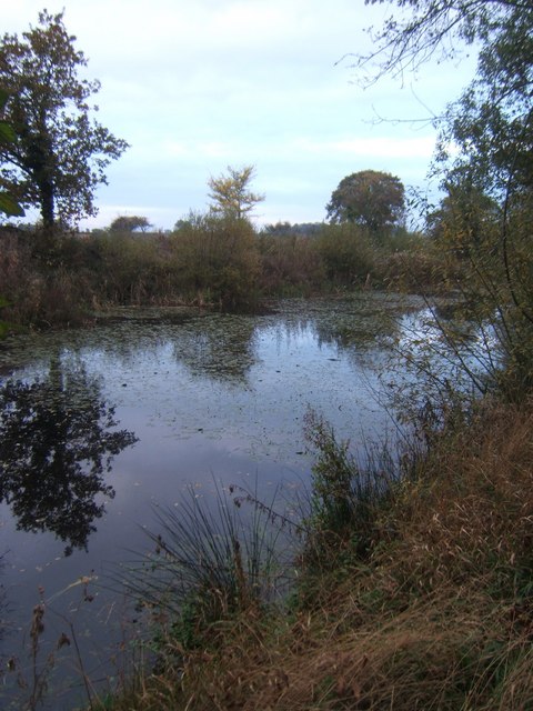
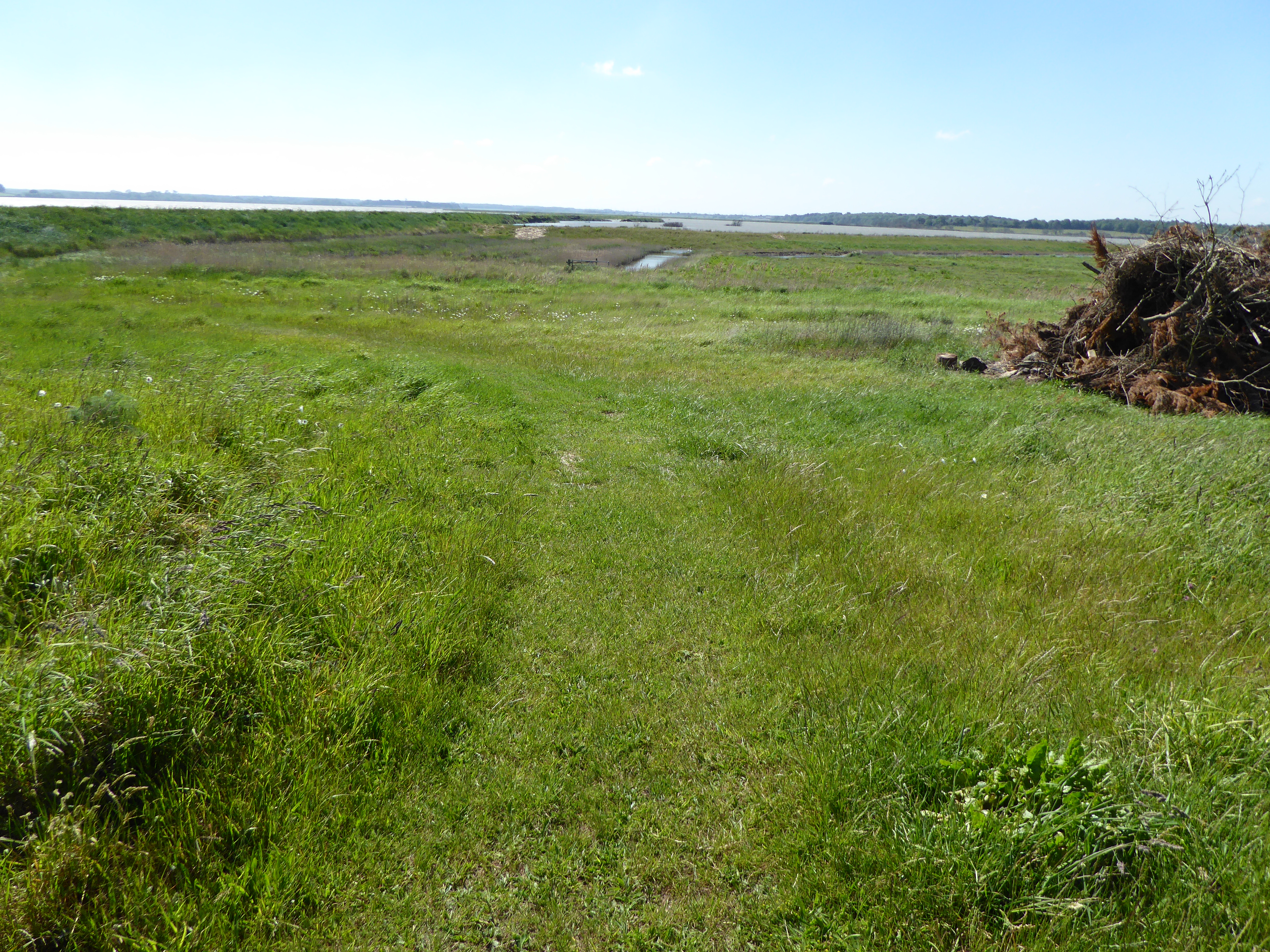
Raspberry Covert, located in Suffolk, England, is a picturesque woodland area renowned for its natural beauty and diverse ecosystem. Stretching across a sprawling 200 acres, this enchanting forest is a haven for nature lovers and outdoor enthusiasts alike.
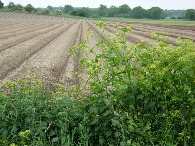
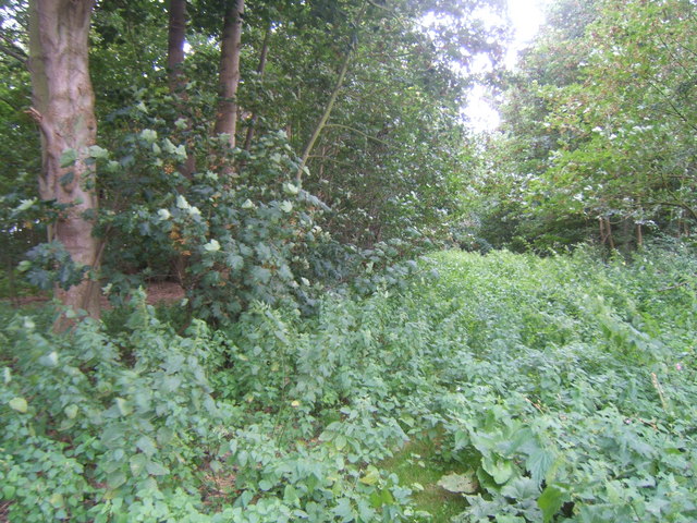
The woodland is primarily composed of a mixture of deciduous and coniferous trees, including oak, beech, pine, and spruce, which create a rich tapestry of colors throughout the year. The forest floor is carpeted with a variety of wildflowers, ferns, and mosses, adding to the area's charm and biodiversity.
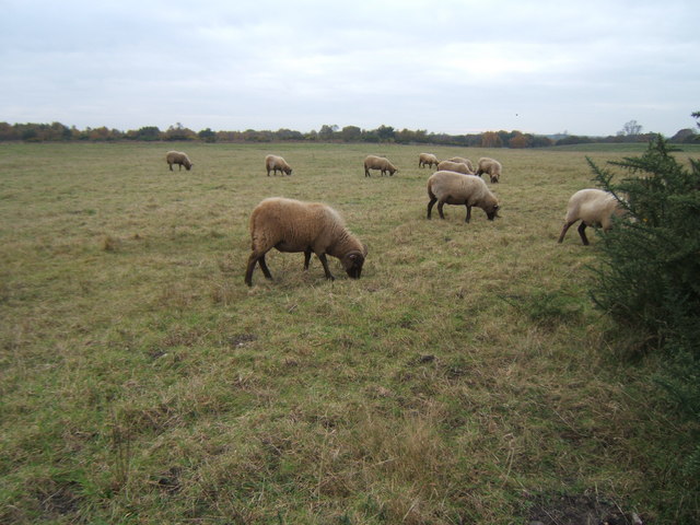
Raspberry Covert is particularly celebrated for its abundant wildlife. The forest provides a safe haven for numerous species, such as deer, foxes, badgers, and a wide array of bird species, including woodpeckers, owls, and warblers. It is also home to several rare and protected species, making it a site of significant ecological importance.
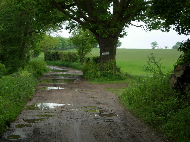
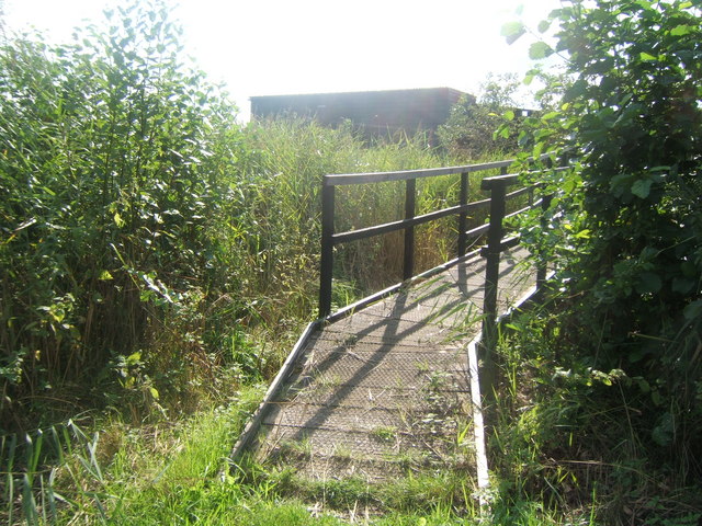
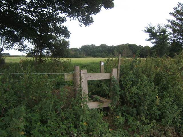
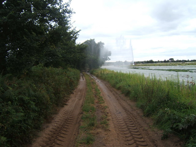
Visitors to Raspberry Covert can enjoy a range of activities, including walking, hiking, and cycling along the well-maintained trails that wind their way through the forest. The tranquil atmosphere and scenic beauty make it an ideal spot for nature photography and bird watching.
The forest is managed by a dedicated team of conservationists and volunteers who work tirelessly to preserve its natural integrity. They organize regular educational programs and guided walks to raise awareness about the importance of sustainable forest management and the need to protect the delicate balance of the ecosystem.
In conclusion, Raspberry Covert, Suffolk, is a stunning woodland area that offers an immersive experience in nature. With its diverse flora and fauna, well-maintained trails, and commitment to conservation, it is a must-visit destination for those seeking solace and a deeper connection with the natural world.
If you have any feedback on the listing, please let us know in the comments section below.
Raspberry Covert Images
Images are sourced within 2km of 52.172859/1.5421255 or Grid Reference TM4258. Thanks to Geograph Open Source API. All images are credited.


Raspberry Covert is located at Grid Ref: TM4258 (Lat: 52.172859, Lng: 1.5421255)
Administrative County: Suffolk
District: East Suffolk
Police Authority: Suffolk
What 3 Words
///ticking.wriggled.punt. Near Leiston, Suffolk
Nearby Locations
Related Wikis

A1094 road
The A1094 is an A road in the English county of Suffolk. It is around 7 miles (11 km) in length. The road runs from a junction off the A12 trunk road at...

Snape Warren
Snape Warren is a 48 hectare biological Site of Special Scientific Interest east of Snape in Suffolk. It is part of the Sandlings Special Protection Area...
Friston Windmill
Friston Windmill is a Grade II* listed post mill at Friston, Suffolk, England which has been conserved. == History == Friston Windmill was moved from...
Hazlewood Marshes
Hazlewood Marshes is a 64 hectare nature reserve west of Aldeburgh in Suffolk. It is managed by the Suffolk Wildlife Trust. It is in the Alde-Ore Estuary...

Sandlings Walk
The Sandlings Walk is a long-distance path in Suffolk, England. It runs 91.6km through the Suffolk Sandling that used to stretch from the outskirts of...

Friston
Friston is a village and civil parish in the East Suffolk district, in the county of Suffolk, England. It is 3 miles (5 km) southeast of Saxmundham, its...

Snape Anglo-Saxon Cemetery
The Snape Anglo-Saxon Cemetery is a place of burial dated to the 6th century AD located on Snape Common, near to the town of Aldeburgh in Suffolk, Eastern...
Round Hill Pit, Aldeburgh
Round Hill Pit, Aldeburgh is a 0.5-hectare (1.2-acre) geological Site of Special Scientific Interest in Aldeburgh in Suffolk. It is a Geological Conservation...
Have you been to Raspberry Covert?
Leave your review of Raspberry Covert below (or comments, questions and feedback).