Bicker's Heath

Wood, Forest in Suffolk East Suffolk

England

Bicker's Heath

Church, Pub and Green - Blyford Quintessential elements of a Suffolk village.
Church, Pub and Green - Blyford Credit: Roger Jones

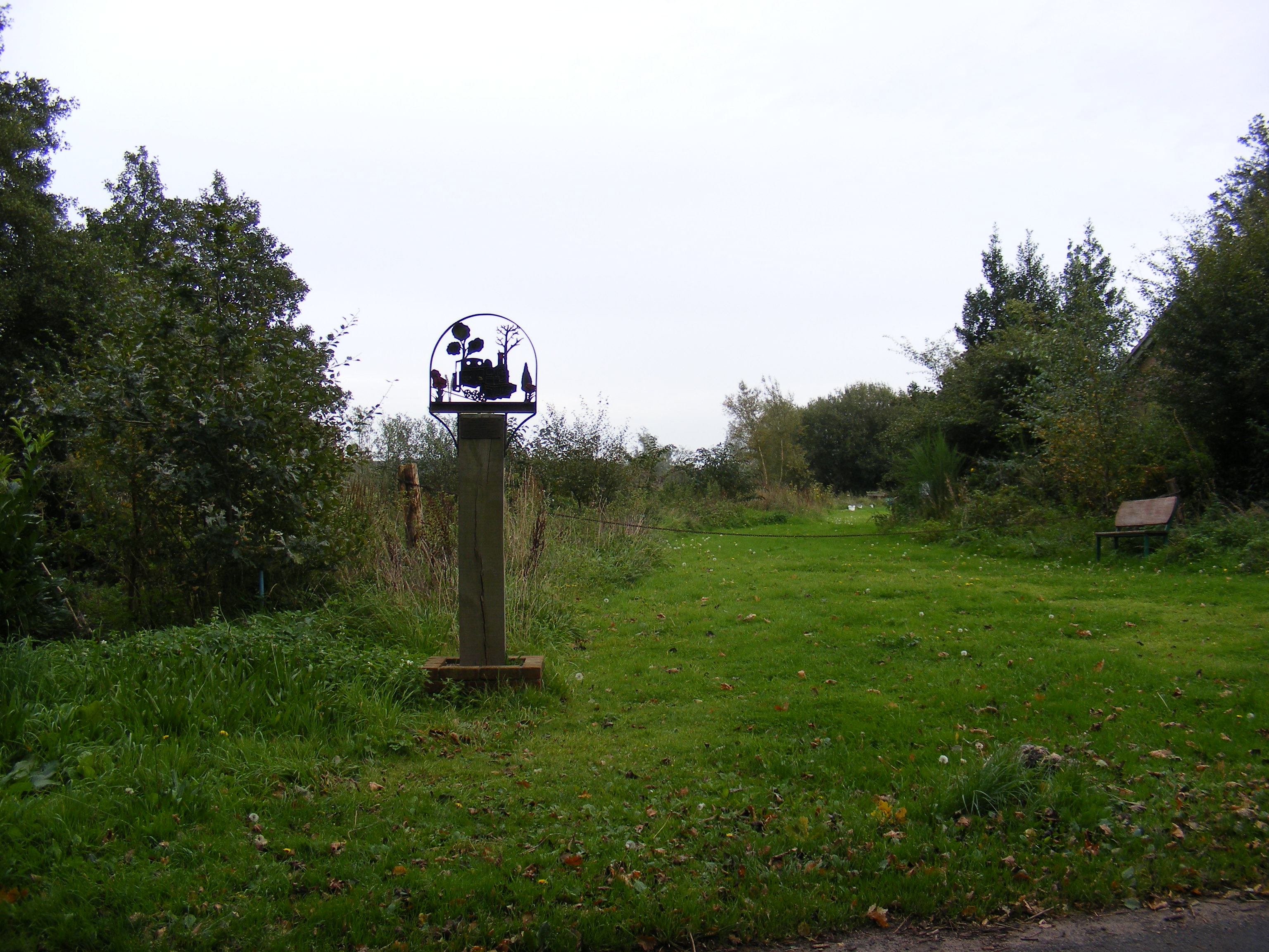
Bicker's Heath is a charming woodland area located in Suffolk, England. This picturesque forest is nestled in the heart of the county and offers a tranquil escape for nature enthusiasts and outdoor lovers alike.

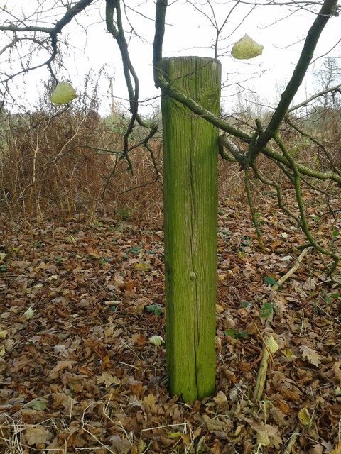
Covering a vast area, Bicker's Heath is characterized by its dense canopy of trees, predominantly consisting of oak, beech, and birch. These towering trees create a lush and vibrant landscape, providing a home to an array of wildlife. Birdwatchers can delight in spotting species such as woodpeckers, owls, and various songbirds, while woodland creatures like deer, rabbits, and squirrels can be observed in their natural habitat.

The forest is crisscrossed by numerous walking trails, allowing visitors to explore the area at their own pace. Whether you prefer a leisurely stroll or a more challenging hike, there are paths to suit all abilities. The forest's peaceful ambiance and beautiful scenery make it an ideal location for nature walks, photography, and picnics.

Bicker's Heath is also known for its rich history. The woodland has been present on maps since the 18th century, and remnants of old structures, such as ancient ditches and boundary markers, can still be discovered. These historical features add an interesting dimension to the forest, inviting visitors to delve into its past while enjoying its natural beauty.

Overall, Bicker's Heath is a treasured natural gem in Suffolk, offering a serene and captivating environment for those seeking to connect with nature and indulge in its wonders.

If you have any feedback on the listing, please let us know in the comments section below.

Bicker's Heath Images

Images are sourced within 2km of 52.329562/1.553836 or Grid Reference TM4276. Thanks to Geograph Open Source API. All images are credited.

Church, Pub and Green - Blyford Quintessential elements of a Suffolk village.
Church, Pub and Green - Blyford
Quintessential elements of a Suffolk village.
Southwold Railway fence post The Southwold railway used their sleepers (6' x 6" x 3")as fence posts alongside the trackbed. Very well creosoted, a number survive, even after 100yrs or more.
This is one of several just east of the Mels road bridge over the trackbed.
Southwold Railway fence post
The Southwold railway used their sleepers (6' x 6" x 3")as fence posts alongside the trackbed. Very well creosoted, a number survive, even after 100yrs or more. This is one of several just east of the Mels road bridge over the trackbed.
Thorington, St Peter's church The benchmark is cut into a left cornerstone of the church porch and access.
Thorington, St Peter's church
The benchmark is cut into a left cornerstone of the church porch and access.
Thorington, St Peter's church There is a benchmark cut into a left cornerstone of the church porch and access.
Thorington, St Peter's church
There is a benchmark cut into a left cornerstone of the church porch and access.
Former railway bridge at Mells The bridge, designated #4 was known as Ball's Bridge or Corner Farm bridge, carried the minor road over the Halesworth to Southwold railway line.
It was reconstructed in 1906/7 from the original, in brick and has a 20 foot span.
Former railway bridge at Mells
The bridge, designated #4 was known as Ball's Bridge or Corner Farm bridge, carried the minor road over the Halesworth to Southwold railway line. It was reconstructed in 1906/7 from the original, in brick and has a 20 foot span.
Low Farm Wenhaston
Low Farm Wenhaston
Beside the former railway line The Southwold Railway line passed to the right and continued along this track and passed to the right (north) of Laurel Farm house seen in the trees.
Beside the former railway line
The Southwold Railway line passed to the right and continued along this track and passed to the right (north) of Laurel Farm house seen in the trees.
The footpath #25 crosses the railway The footpath here continues ahead but the railway line used to cross here, right to left on its way to Halesworth past Beaumur Laurel Farm.
The footpath #25 crosses the railway
The footpath here continues ahead but the railway line used to cross here, right to left on its way to Halesworth past Beaumur Laurel Farm.
The railway line ran the other side of the posts There was a footpath across the line at this point designated #24
The railway line ran the other side of the posts
There was a footpath across the line at this point designated #24
Looking back towards Southwold and bridge #10 The former railway track-bed has been utilised for use by tractors.
Looking back towards Southwold and bridge #10
The former railway track-bed has been utilised for use by tractors.
Looking back towards the farm There is a drainage dyke hidden in the hedgerow. On the left the green grass and flatland of Blythburgh marshes.
Looking back towards the farm
There is a drainage dyke hidden in the hedgerow. On the left the green grass and flatland of Blythburgh marshes.
The former Southwold railway line passing over a culvert The drainage channel is bridged by a culvert
The former Southwold railway line passing over a culvert
The drainage channel is bridged by a culvert
The line disappears into the trees beside the track The trees hide the line for a quarter of a mile from here until emerging the other side of Low Farm
The line disappears into the trees beside the track
The trees hide the line for a quarter of a mile from here until emerging the other side of Low Farm
The Southwold Railway line overgrown by trees The line remains partially hidden by the trees and hedgerow until well past Low Farm which can be seen extreme left of the picture
The Southwold Railway line overgrown by trees
The line remains partially hidden by the trees and hedgerow until well past Low Farm which can be seen extreme left of the picture
The line approaches Marsh Cottage The line is still in an avenue of trees, having past Low Farm and approaching Marsh Cottage, the white house on the left.
The line approaches Marsh Cottage
The line is still in an avenue of trees, having past Low Farm and approaching Marsh Cottage, the white house on the left.
The former Southwold Railway line  Just over half a mile to Wenhaston station, bordering the marshes of the River Blyth all the way
The former Southwold Railway line
Just over half a mile to Wenhaston station, bordering the marshes of the River Blyth all the way
The end of some new trackside fence The run towards Wenhaston station approaching a crossing
The end of some new trackside fence
The run towards Wenhaston station approaching a crossing
A stretch of rails at the occupation crossing #19 The crossing is at the location of the four-bar gate creating an access between the meadow on the left and Wenhaston marshes on the right through the trees and across a drainage ditch.
The stretch of line ends at the white seat seen up the track.
A stretch of rails at the occupation crossing #19
The crossing is at the location of the four-bar gate creating an access between the meadow on the left and Wenhaston marshes on the right through the trees and across a drainage ditch. The stretch of line ends at the white seat seen up the track.
Show me another place!

Bicker's Heath is located at Grid Ref: TM4276 (Lat: 52.329562, Lng: 1.553836)

Administrative County: Suffolk

District: East Suffolk

Police Authority: Suffolk

What 3 Words

///swimsuits.encodes.ballroom. Near Halesworth, Suffolk

Nearby Locations

Bicker's Heath Blyford

Related Wikis

Wenhaston railway station

Wenhaston railway station was in Wenhaston, Suffolk. It closed in 1929, 50 years after it had opened for passenger traffic. The Southwold Railway Trust...

Wenhaston

Wenhaston is a village situated to the south of the River Blyth in northeastern Suffolk, England. In 2018 it had an estimated population of 563. ��2�...

Blyford

Blyford (formerly known as Blythford) is a village and civil parish in the East Suffolk district of Suffolk, England, about 3 miles (5 km) east of Halesworth...

Wenhaston with Mells Hamlet

Wenhaston with Mells Hamlet is a civil parish in the East Suffolk district, in the county of Suffolk, England. The population at the 2011 Census was 801...

Nearby Amenities

Located within 500m of 52.329562,1.553836
Wenhaston
Historic Railway: station
Railway: site
Wikidata: Q7982869
Wikipedia: en:Wenhaston railway station
Lat/Long: 52.3307096/1.5577989
Generator Method: photovoltaic
Generator Output Electricity: yes
Generator Source: solar
Generator Type: solar_photovoltaic_panel
Location: roof
Power: generator
Lat/Long: 52.3287042/1.553176
Generator Method: photovoltaic
Generator Output Electricity: yes
Generator Source: solar
Generator Type: solar_photovoltaic_panel
Location: roof
Power: generator
Lat/Long: 52.326801/1.5529588
Generator Method: photovoltaic
Generator Output Electricity: yes
Generator Source: solar
Generator Type: solar_photovoltaic_panel
Location: roof
Power: generator
Lat/Long: 52.3267928/1.5536964
Generator Method: photovoltaic
Generator Output Electricity: yes
Generator Source: solar
Generator Type: solar_photovoltaic_panel
Location: roof
Power: generator
Lat/Long: 52.3267535/1.5537769
Generator Method: photovoltaic
Generator Output Electricity: yes
Generator Source: solar
Generator Type: solar_photovoltaic_panel
Location: roof
Power: generator
Lat/Long: 52.3270666/1.5549543
Generator Method: photovoltaic
Generator Output Electricity: yes
Generator Source: solar
Generator Type: solar_photovoltaic_panel
Location: roof
Power: generator
Lat/Long: 52.3271223/1.5545493
Generator Method: photovoltaic
Generator Output Electricity: yes
Generator Source: solar
Generator Type: solar_photovoltaic_panel
Location: roof
Power: generator
Lat/Long: 52.3265683/1.5543482
Generator Method: photovoltaic
Generator Output Electricity: yes
Generator Source: solar
Generator Type: solar_photovoltaic_panel
Location: roof
Power: generator
Lat/Long: 52.3260765/1.5562874
Generator Method: photovoltaic
Generator Output Electricity: yes
Generator Source: solar
Generator Type: solar_photovoltaic_panel
Location: roof
Power: generator
Lat/Long: 52.3255019/1.5569097
Generator Method: photovoltaic
Generator Output Electricity: yes
Generator Source: solar
Generator Type: solar_photovoltaic_panel
Location: roof
Power: generator
Lat/Long: 52.3302319/1.5520576
Generator Method: photovoltaic
Generator Output Electricity: yes
Generator Source: solar
Generator Type: solar_photovoltaic_panel
Location: roof
Power: generator
Lat/Long: 52.3303827/1.5572235
Generator Method: photovoltaic
Generator Output Electricity: yes
Generator Source: solar
Generator Type: solar_photovoltaic_panel
Location: roof
Power: generator
Lat/Long: 52.3284829/1.557371
Generator Method: photovoltaic
Generator Output Electricity: yes
Generator Source: solar
Generator Type: solar_photovoltaic_panel
Location: roof
Power: generator
Lat/Long: 52.3271928/1.5495631
Generator Method: photovoltaic
Generator Output Electricity: yes
Generator Source: solar
Generator Type: solar_photovoltaic_panel
Location: roof
Power: generator
Lat/Long: 52.3283403/1.5539968
Generator Method: photovoltaic
Generator Output Electricity: yes
Generator Source: solar
Generator Type: solar_photovoltaic_panel
Location: roof
Power: generator
Lat/Long: 52.3272748/1.5530983
Generator Method: photovoltaic
Generator Output Electricity: yes
Generator Source: solar
Generator Type: solar_photovoltaic_panel
Location: roof
Power: generator
Lat/Long: 52.3272977/1.5539458
Generator Method: photovoltaic
Generator Output Electricity: yes
Generator Source: solar
Generator Type: solar_photovoltaic_panel
Location: roof
Power: generator
Lat/Long: 52.3273977/1.5537018
Generator Method: photovoltaic
Generator Output Electricity: yes
Generator Source: solar
Generator Type: solar_photovoltaic_panel
Location: roof
Power: generator
Lat/Long: 52.3273485/1.553742
The data included in this document is from www.openstreetmap.org. The data is made available under ODbL.

Have you been to Bicker's Heath?

Leave your review of Bicker's Heath below (or comments, questions and feedback).