Blyford
Settlement in Suffolk East Suffolk
England
Blyford

Blyford is a small village located in Suffolk, England. Situated approximately 5 miles south-west of the town of Halesworth, it is nestled in the rural beauty of the county. Blyford is part of the Waveney district and falls within the civil parish of Wissett.
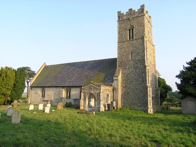
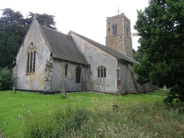
The village has a rich history, with evidence of human habitation dating back to the Bronze Age. Over the centuries, Blyford has evolved into a picturesque settlement, characterized by its charming thatched cottages and traditional architecture. The heart of the village is centered around St. Mary's Church, a beautiful medieval structure that stands as a testament to the area's historical significance.
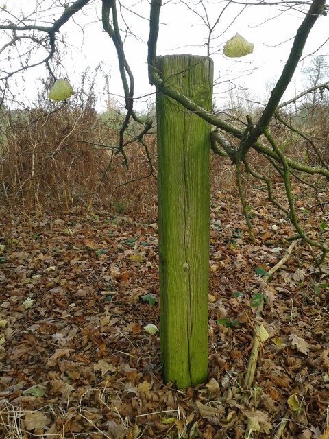
Blyford benefits from its tranquil countryside setting, offering residents and visitors a peaceful retreat from the hustle and bustle of urban life. The surrounding landscape is dominated by rolling hills, open fields, and quaint woodlands, providing ample opportunities for outdoor activities such as walking, cycling, and birdwatching.
While Blyford is a small village, it is within convenient reach of amenities and facilities. The nearby towns of Halesworth and Bungay offer a range of services including shops, supermarkets, schools, and healthcare facilities. Additionally, the coastal town of Southwold is just a short drive away, providing access to beautiful sandy beaches and a vibrant seaside atmosphere.
In conclusion, Blyford is a charming village with a rich historical background and a serene countryside setting. Its idyllic location and proximity to nearby towns and attractions make it an attractive place to live or visit for those seeking a peaceful rural retreat.
If you have any feedback on the listing, please let us know in the comments section below.
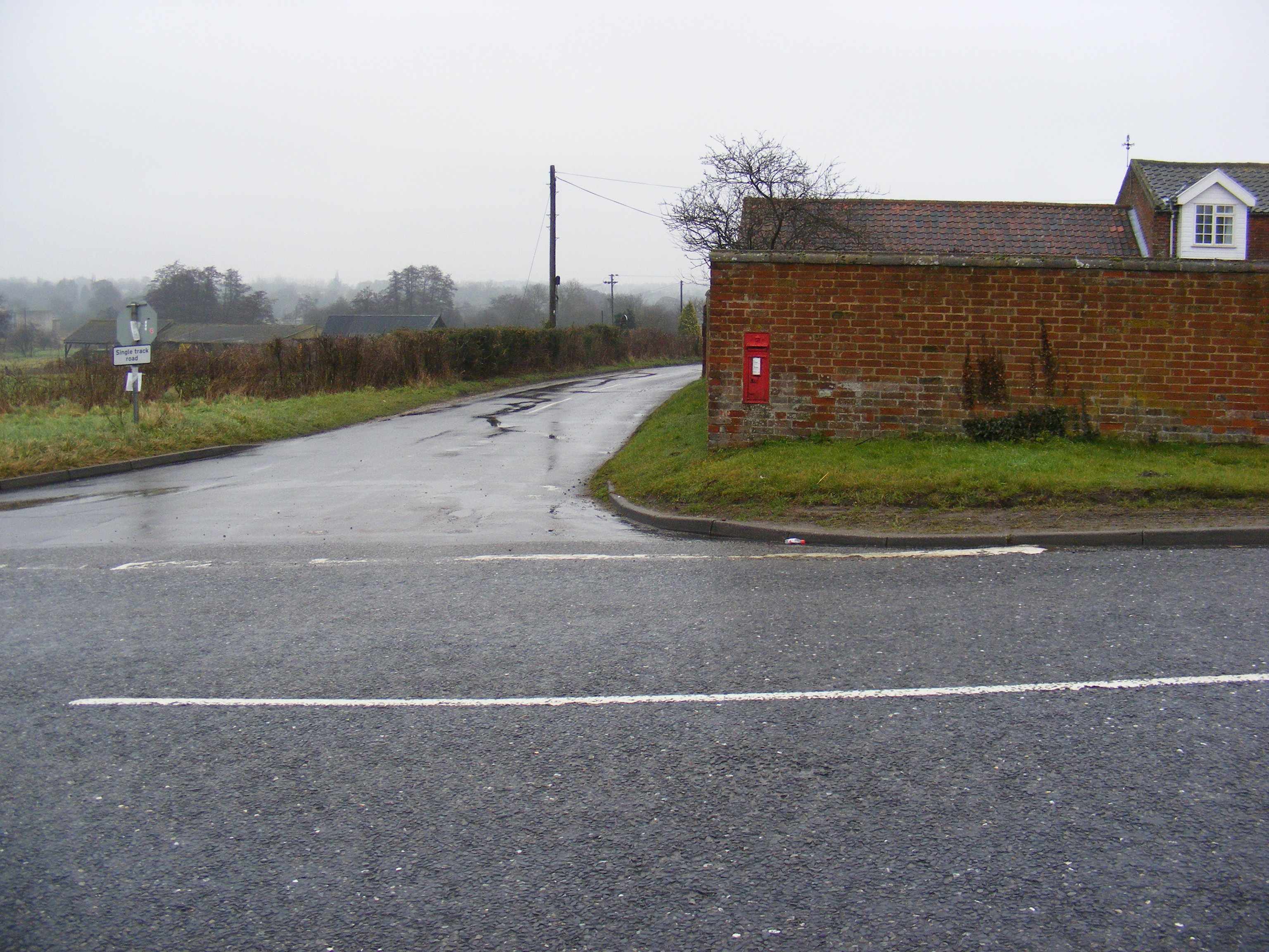
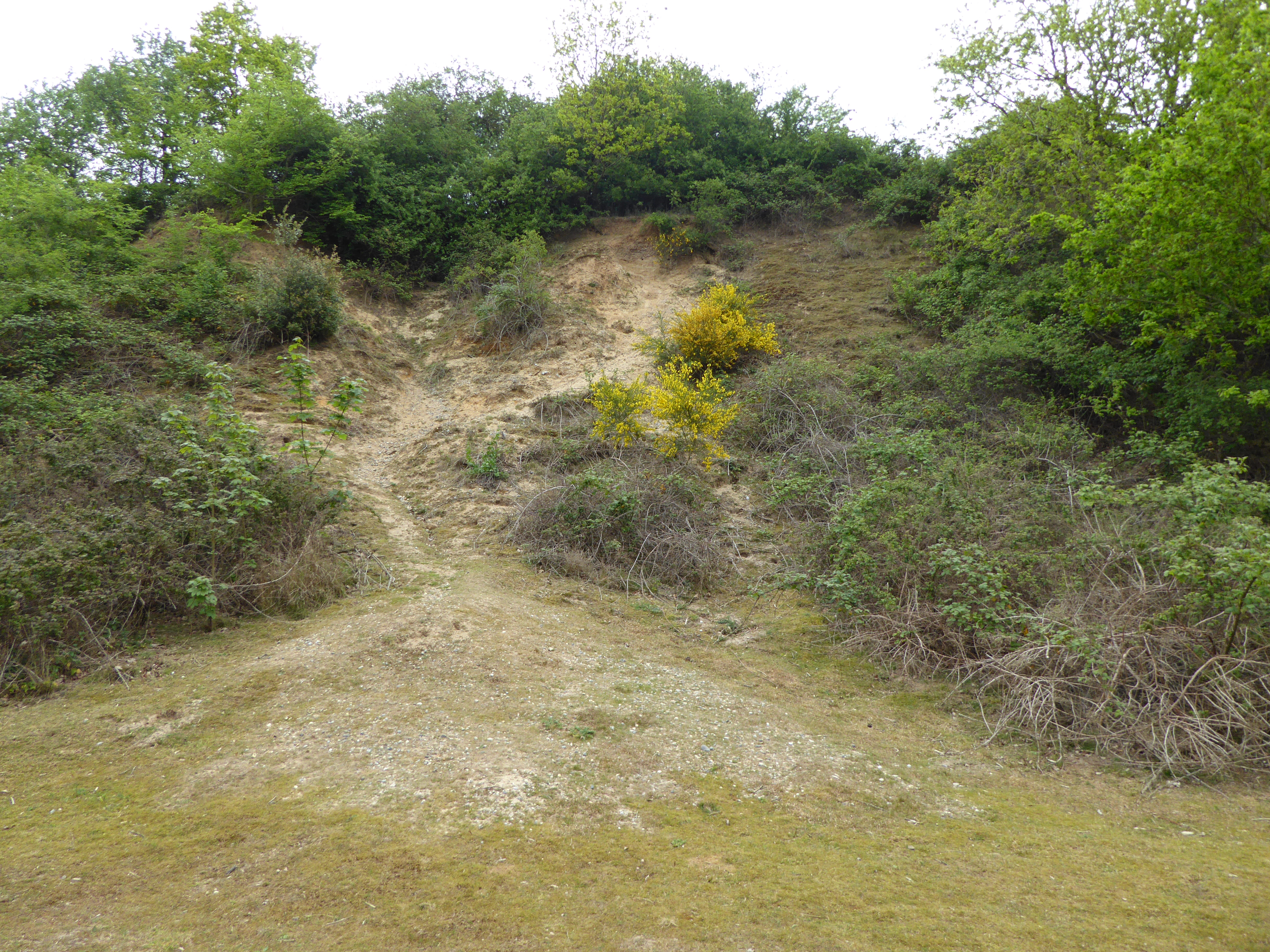
Blyford Images
Images are sourced within 2km of 52.335215/1.558066 or Grid Reference TM4276. Thanks to Geograph Open Source API. All images are credited.


Blyford is located at Grid Ref: TM4276 (Lat: 52.335215, Lng: 1.558066)
Administrative County: Suffolk
District: East Suffolk
Police Authority: Suffolk
What 3 Words
///twin.firelight.richer. Near Halesworth, Suffolk
Nearby Locations
Related Wikis
Blyford
Blyford (formerly known as Blythford) is a village and civil parish in the East Suffolk district of Suffolk, England, about 3 miles (5 km) east of Halesworth...
Wenhaston railway station
Wenhaston railway station was in Wenhaston, Suffolk. It closed in 1929, 50 years after it had opened for passenger traffic. The Southwold Railway Trust...
Wenhaston
Wenhaston is a village situated to the south of the River Blyth in northeastern Suffolk, England. In 2018 it had an estimated population of 563. ��2�...
Wenhaston with Mells Hamlet
Wenhaston with Mells Hamlet is a civil parish in the East Suffolk district, in the county of Suffolk, England. The population at the 2011 Census was 801...

Blything Hundred
Blything was a hundred of eastern Suffolk, and with an area of 87,641 acres (354.67 km2) was the largest of Suffolk's 21 hundreds. The origins of the hundred...
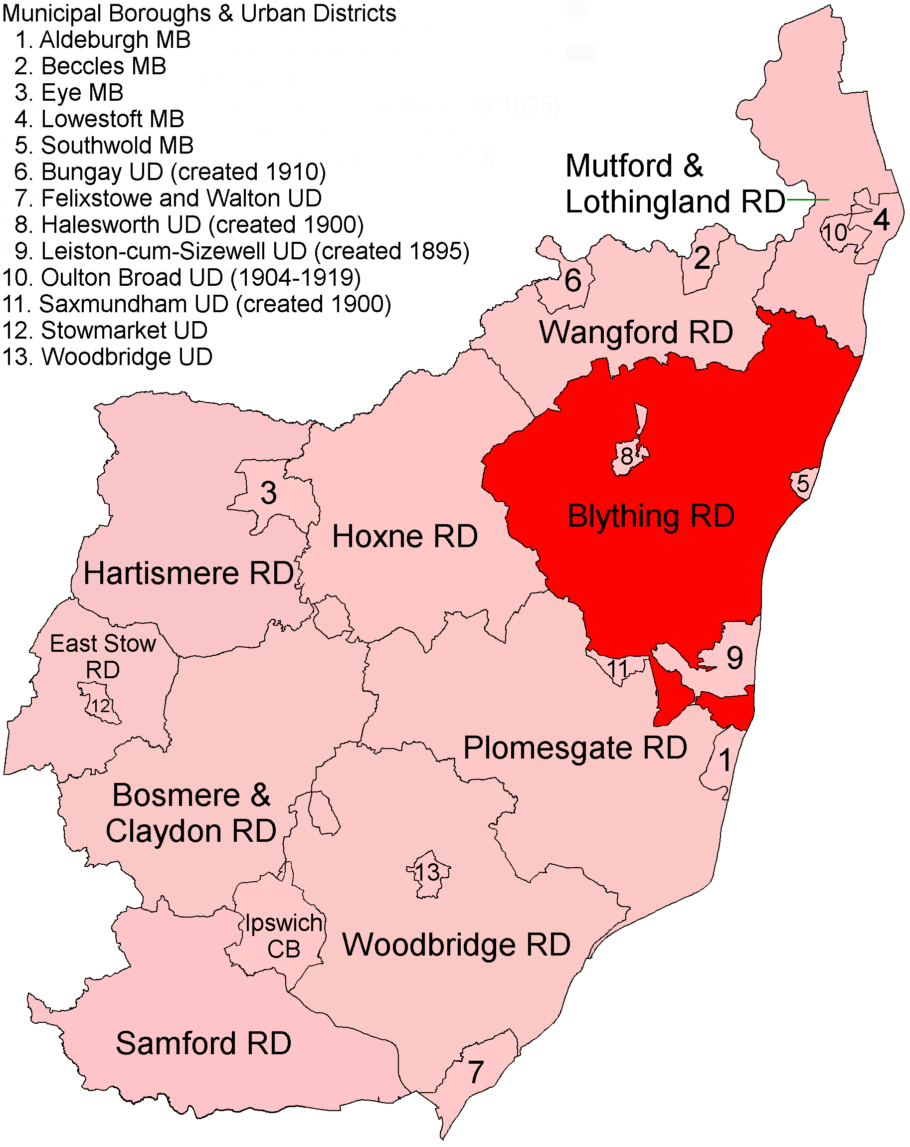
Blything Rural District
Blything Rural District was a rural district within the administrative county of East Suffolk between 1894 and 1934. == Evolution == The district had its...
Mells, Suffolk
Mells is a hamlet in the English county of Suffolk. It is on the southern bank of the River Blyth across the river by bridge from Holton; it forms part...
Holton Pit
Holton Pit is a 1.6-hectare (4.0-acre) geological Site of Special Scientific Interest east of Halesworth in Suffolk. It is a Geological Conservation Review...
Nearby Amenities
Located within 500m of 52.335215,1.558066Have you been to Blyford?
Leave your review of Blyford below (or comments, questions and feedback).