Blymhill

Settlement in Staffordshire South Staffordshire

England

Blymhill

Shrewsbury Lodge to Weston Park Located just inside the entranceway at <a href="https://www.geograph.org.uk/photo/4898823">SJ7910 : Shrewsbury Gate, Weston Park</a>, the lodge was built in the 18th century and attracted its Grade II listing <span class="nowrap"><a title="https://britishlistedbuildings.co.uk/101039233-shrewsbury-lodge-to-weston-park-blymhill-and-weston-under-lizard" rel="nofollow ugc noopener" href="https://britishlistedbuildings.co.uk/101039233-shrewsbury-lodge-to-weston-park-blymhill-and-weston-under-lizard">Link</a><img style="margin-left:2px;" alt="External link" title="External link - shift click to open in new window" src="https://s1.geograph.org.uk/img/external.png" width="10" height="10"/></span> & <span class="nowrap"><a title="https://historicengland.org.uk/listing/the-list/list-entry/1039233" rel="nofollow ugc noopener" href="https://historicengland.org.uk/listing/the-list/list-entry/1039233">Link</a><img style="margin-left:2px;" alt="External link" title="External link - shift click to open in new window" src="https://s1.geograph.org.uk/img/external.png" width="10" height="10"/></span> in 1953.
Shrewsbury Lodge to Weston Park Credit: Richard Law

Blymhill is a small village located in the county of Staffordshire, England. It is situated approximately 6 miles northwest of the town of Wolverhampton and 12 miles southeast of the city of Stafford. Blymhill is part of the South Staffordshire district and falls within the West Midlands region.

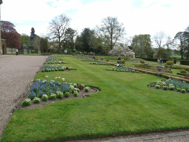
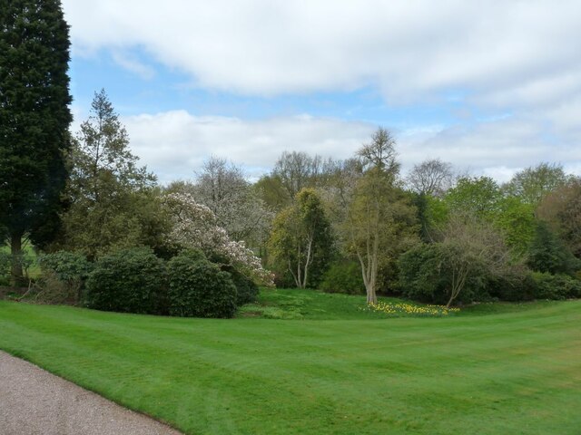
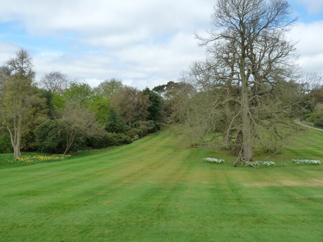
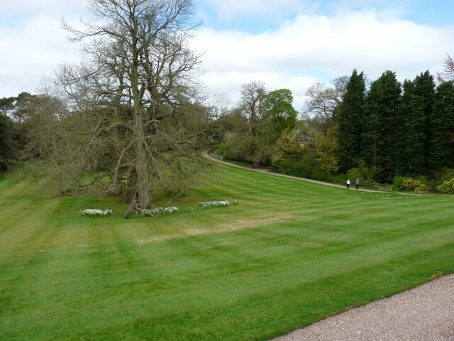
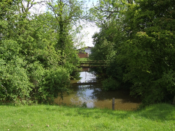
The village is known for its picturesque countryside surroundings, with rolling hills and lush green fields. It is a predominantly rural area, with a population of around 500 residents. The village has a close-knit community, and its residents enjoy a peaceful and tranquil way of life.

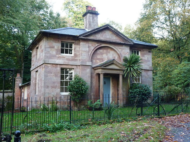
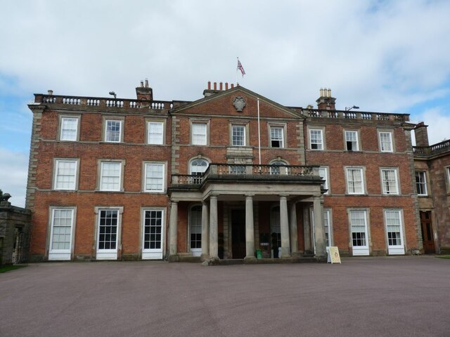
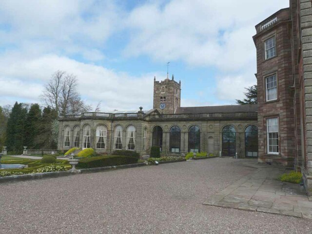
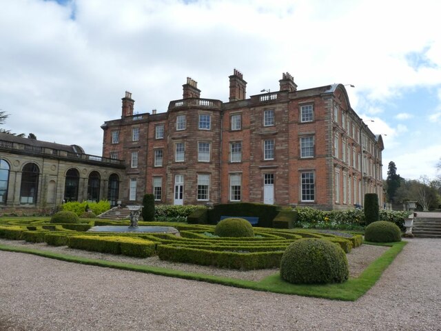
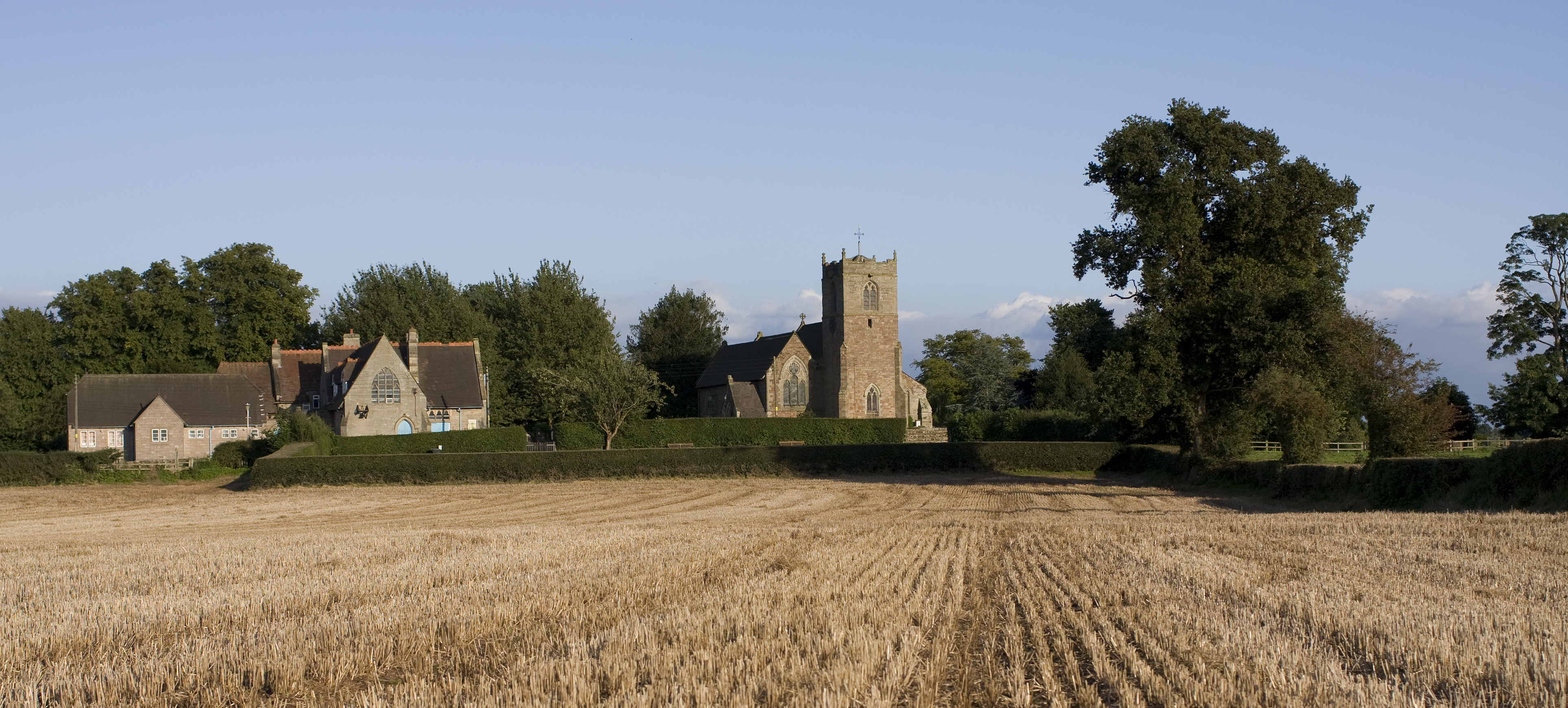
Blymhill is home to several historic buildings, including the Grade I listed Blymhill Church, also known as St. Mary's Church. This beautiful medieval church dates back to the 12th century and features stunning architectural details. The village also boasts a number of traditional cottages and farmhouses, adding to its charm and character.

The local economy of Blymhill is primarily based on agriculture, with many residents involved in farming and related industries. However, due to its proximity to larger towns and cities, some residents also commute for work. The village has limited amenities, with a village hall serving as a community hub for various events and gatherings.

Blymhill offers a peaceful and idyllic setting for those seeking a rural lifestyle. Its natural beauty, historic landmarks, and strong sense of community make it a desirable place to live or visit in Staffordshire.

If you have any feedback on the listing, please let us know in the comments section below.
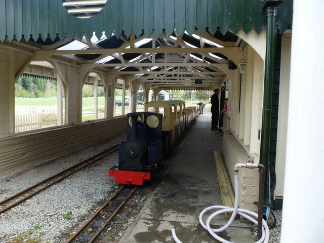
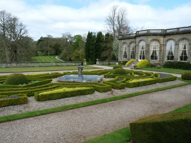
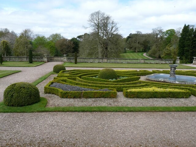
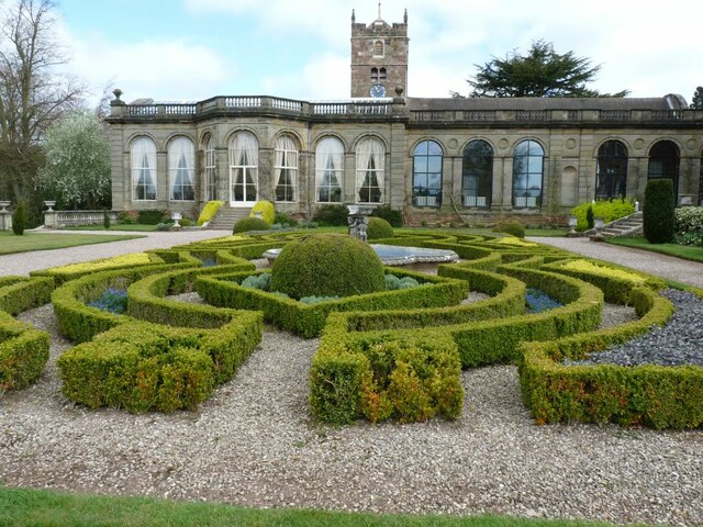
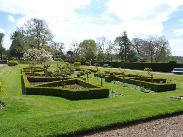
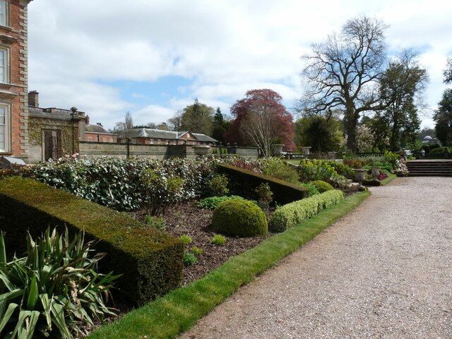
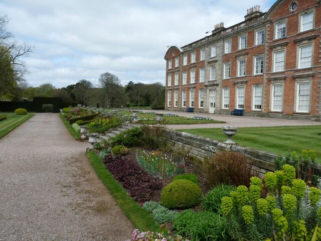
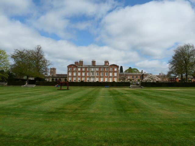
Blymhill Images

Images are sourced within 2km of 52.708594/-2.284033 or Grid Reference SJ8012. Thanks to Geograph Open Source API. All images are credited.

Shrewsbury Lodge to Weston Park Located just inside the entranceway at <a href="https://www.geograph.org.uk/photo/4898823">SJ7910 : Shrewsbury Gate, Weston Park</a>, the lodge was built in the 18th century and attracted its Grade II listing <span class="nowrap"><a title="https://britishlistedbuildings.co.uk/101039233-shrewsbury-lodge-to-weston-park-blymhill-and-weston-under-lizard" rel="nofollow ugc noopener" href="https://britishlistedbuildings.co.uk/101039233-shrewsbury-lodge-to-weston-park-blymhill-and-weston-under-lizard">Link</a><img style="margin-left:2px;" alt="External link" title="External link - shift click to open in new window" src="https://s1.geograph.org.uk/img/external.png" width="10" height="10"/></span> & <span class="nowrap"><a title="https://historicengland.org.uk/listing/the-list/list-entry/1039233" rel="nofollow ugc noopener" href="https://historicengland.org.uk/listing/the-list/list-entry/1039233">Link</a><img style="margin-left:2px;" alt="External link" title="External link - shift click to open in new window" src="https://s1.geograph.org.uk/img/external.png" width="10" height="10"/></span> in 1953.
Shrewsbury Lodge to Weston Park
Located just inside the entranceway at SJ7910 : Shrewsbury Gate, Weston Park, the lodge was built in the 18th century and attracted its Grade II listing LinkExternal link & LinkExternal link in 1953.
Front of Weston House Weston Park is no ordinary stately home. Set amongst 1,000 acres of Capability Brown landscaped parkland and former home to the Earls of Bradford, Weston has a rich history, an internationally important art collection.
Front of Weston House
Weston Park is no ordinary stately home. Set amongst 1,000 acres of Capability Brown landscaped parkland and former home to the Earls of Bradford, Weston has a rich history, an internationally important art collection.
Weston House Weston Park is no ordinary stately home. Set amongst 1,000 acres of Capability Brown landscaped parkland and former home to the Earls of Bradford, Weston has a rich history, an internationally important art collection and all the grandeur you would expect from a stately home – but with a very modern outlook.
Weston House
Weston Park is no ordinary stately home. Set amongst 1,000 acres of Capability Brown landscaped parkland and former home to the Earls of Bradford, Weston has a rich history, an internationally important art collection and all the grandeur you would expect from a stately home – but with a very modern outlook.
Formal garden at Weston Park Colour from bedding out plants.
Formal garden at Weston Park
Colour from bedding out plants.
The railway in Weston Park The Weston Park Railway has been running for over 30 years from Weston Central Station and has developed into one of Britain’s premier miniature railways. Merlin is our resident locomotive, built specially in the workshop for the railway in 1999.
The railway in Weston Park
The Weston Park Railway has been running for over 30 years from Weston Central Station and has developed into one of Britain’s premier miniature railways. Merlin is our resident locomotive, built specially in the workshop for the railway in 1999.
Formal garden at Weston Park Knot garden with fountain.
Formal garden at Weston Park
Knot garden with fountain.
Knot garden at Weston Park Created with neatly trimmed Box hedging.
Knot garden at Weston Park
Created with neatly trimmed Box hedging.
Knot garden at Weston Park Created with carefully trimmed Box hedging.
Knot garden at Weston Park
Created with carefully trimmed Box hedging.
View of the woods from the house The grounds were landscaped in the style of Capability Brown.
View of the woods from the house
The grounds were landscaped in the style of Capability Brown.
The view from the house Sweeping lawns and majestic trees are typical of this style of gardening.
The view from the house
Sweeping lawns and majestic trees are typical of this style of gardening.
View from the house Manicured lawns and mature trees are important parts of this style of garden.
View from the house
Manicured lawns and mature trees are important parts of this style of garden.
Weston House The knot garden at the side of the house.
Weston House
The knot garden at the side of the house.
The knot garden at the front of the house The tall plants in the beds are standard roses.
The knot garden at the front of the house
The tall plants in the beds are standard roses.
Sloping flower beds down to the next level The steps are flanked by large urns.
Sloping flower beds down to the next level
The steps are flanked by large urns.
Herbaceous beds along the edge of the lower terrace The plant in the lower right hand corner is one of the Euphorbias.
Herbaceous beds along the edge of the lower terrace
The plant in the lower right hand corner is one of the Euphorbias.
Weston House View of the house from the lower terrace.
Weston House
View of the house from the lower terrace.
Cubist style horse Sculpture on the lawn at Weston Park.
Cubist style horse
Sculpture on the lawn at Weston Park.
Cottages on the Weston Park Estate The road is the A5, Watling Street.
Cottages on the Weston Park Estate
The road is the A5, Watling Street.
Show me another place!

Blymhill is located at Grid Ref: SJ8012 (Lat: 52.708594, Lng: -2.284033)

Administrative County: Staffordshire

District: South Staffordshire

Police Authority: Staffordshire

What 3 Words

///factory.tram.admiral. Near Wheaton Aston, Staffordshire

Related Wikis

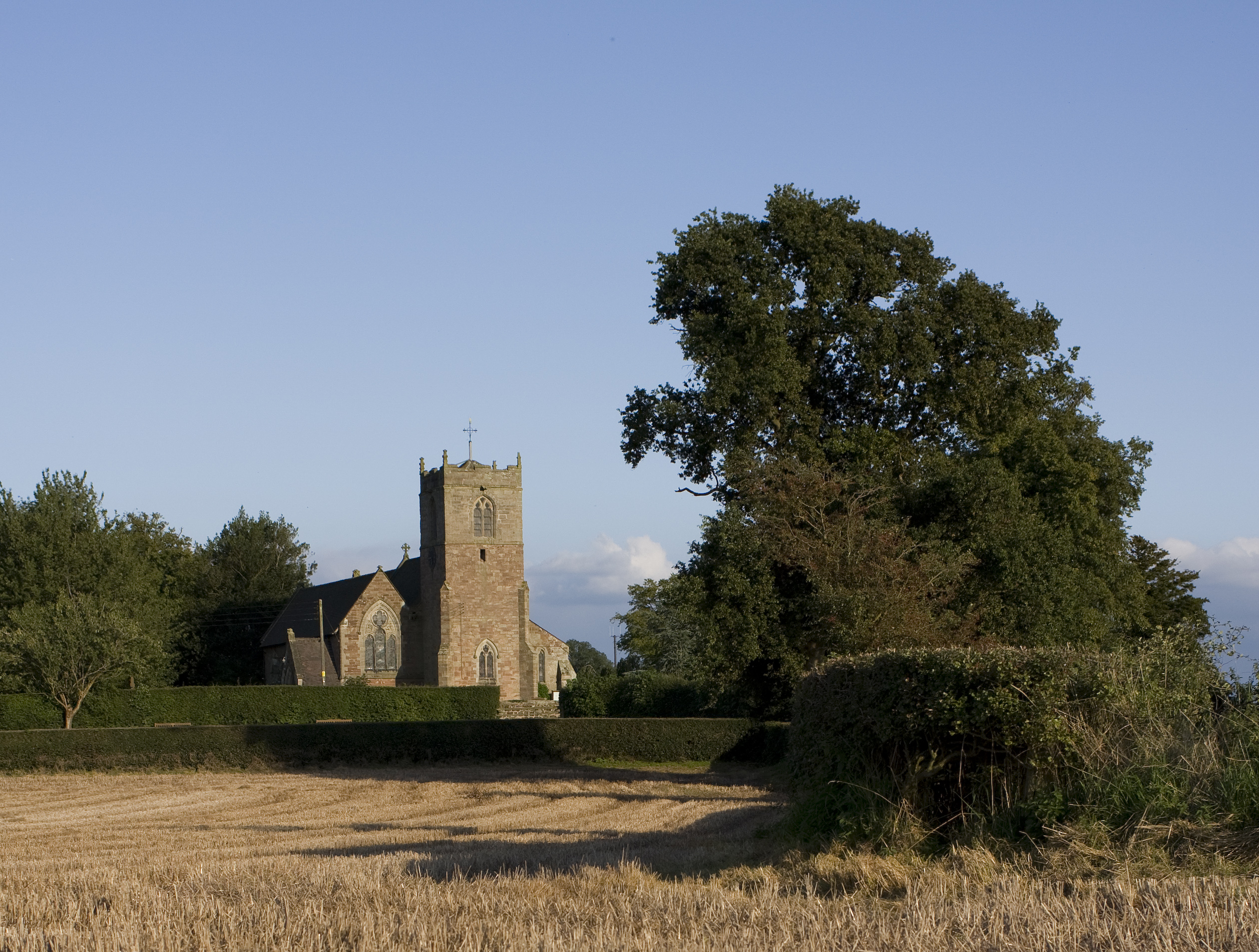
St Mary's Church, Blymhill

St. Mary's Church, Blymhill is an Anglican church in the village of Blymhill, Staffordshire, England (grid reference SJ808122). The building, which is...

Brineton

Brineton is a hamlet in Staffordshire, England. It is 3/4 mile north of the village of Blymhill, and is within the civil parish of Blymhill and Weston...

Blymhill and Weston-under-Lizard

Blymhill and Weston-under-Lizard is a civil parish in the South Staffordshire district of Staffordshire, near the border with Shropshire in England. According...
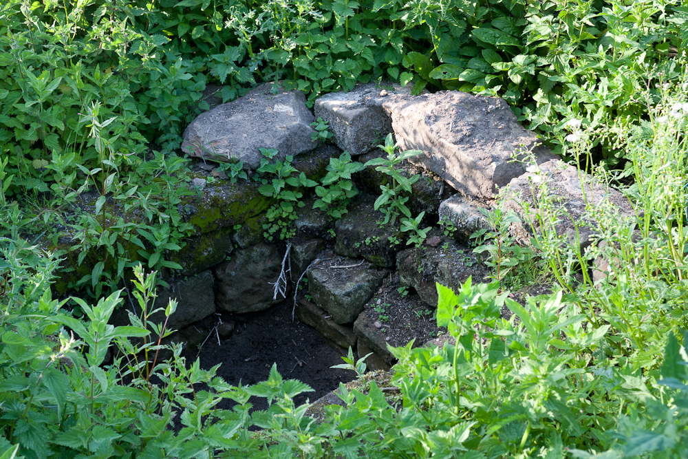
Elder Well

The Elder Well is a holy well located at Blymhill Marsh, close to the village of Blymhill, Staffordshire. It can be found among Elder trees on the north...

Blymhill

Blymhill is a village and former civil parish, now in the parish of Blymhill and Weston-under-Lizard, in the South Staffordshire district, in the county...

Bromsgrove Sandstone

The Bromsgrove Sandstone is a geologic formation of the Sherwood Sandstone Group in England. It preserves fossils and ichnofossils of Chirotherium barthii...

Weston-under-Lizard

Weston-under-Lizard is a village and former civil parish, now in the parish of Blymhill and Weston-under-Lizard, in the South Staffordshire district of...

Brockhurst, Staffordshire

Brockhurst is a hamlet in Staffordshire, England, 1 mile sorth-west of Blymhill. It is part of Blymhill and Weston-under-Lizard civil parish within South...

Nearby Amenities

Located within 500m of 52.708594,-2.284033
Blymhill
Is In: Staffordshire
Place: village
Lat/Long: 52.7081992/-2.2835158
Bus Stop
Post Office
Bus: yes
Naptan AtcoCode: 3800C600700
Naptan Bearing: SE
Naptan CommonName: Post Office
Naptan Indicator: Opp
Naptan Landmark: Post Office
Naptan Street: Brockhurst Lane
Naptan Verified: no
Public Transport: platform
Source: naptan_import
Lat/Long: 52.7092726/-2.2847234
Bus Stop
Post Office
Bus: yes
Naptan AtcoCode: 3800C600701
Naptan Bearing: NW
Naptan CommonName: Post Office
Naptan Indicator: Adj
Naptan Landmark: Post Office
Naptan Street: School Lane
Naptan Verified: no
Public Transport: platform
Source: naptan_import
Lat/Long: 52.7092027/-2.2848725
Bus Stop
Brockhurst Lane
Bus: yes
Naptan AtcoCode: 3800C602100
Naptan Bearing: S
Naptan CommonName: Brockhurst Lane
Naptan Indicator: Adj
Naptan Landmark: Somewhere
Naptan Street: Cottage Corner
Naptan Verified: no
Public Transport: platform
Source: naptan_import
Lat/Long: 52.7102866/-2.2855145
Bus Stop
Corner Cottage
Bus: yes
Naptan AtcoCode: 3800C602101
Naptan Bearing: N
Naptan CommonName: Corner Cottage
Naptan Indicator: Adj
Naptan Landmark: Corner Cottage
Naptan Street: Brockhurst Lane
Naptan Verified: no
Public Transport: platform
Source: naptan_import
Lat/Long: 52.7103042/-2.2856922
Telephone
Booth: K6
Covered: booth
Phone: +44 1952 850275
Lat/Long: 52.709142/-2.284924
Post Box
Post Box Type: lamp
Ref: TF11 192
Lat/Long: 52.7087338/-2.2841771
Leisure: playground
Lat/Long: 52.7080863/-2.2842787
Barrier: stile
Lat/Long: 52.7070356/-2.2788123
Generator Method: photovoltaic
Generator Output Electricity: yes
Generator Source: solar
Generator Type: solar_photovoltaic_panel
Location: roof
Power: generator
Lat/Long: 52.7081575/-2.2850516
Generator Method: photovoltaic
Generator Output Electricity: yes
Generator Source: solar
Generator Type: solar_photovoltaic_panel
Location: roof
Power: generator
Lat/Long: 52.7082973/-2.2849309
Generator Method: photovoltaic
Generator Output Electricity: yes
Generator Source: solar
Generator Type: solar_photovoltaic_panel
Location: roof
Power: generator
Lat/Long: 52.708216/-2.2849524
Generator Method: photovoltaic
Generator Output Electricity: yes
Generator Source: solar
Generator Type: solar_photovoltaic_panel
Location: roof
Power: generator
Lat/Long: 52.7081218/-2.2851482
The data included in this document is from www.openstreetmap.org. The data is made available under ODbL.

Have you been to Blymhill?

Leave your review of Blymhill below (or comments, questions and feedback).