Holywell Plantation
Wood, Forest in Staffordshire South Staffordshire
England
Holywell Plantation
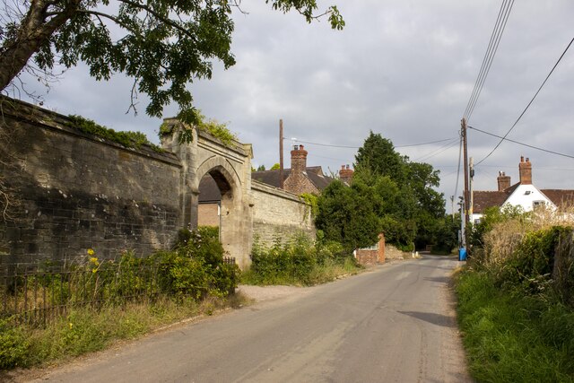
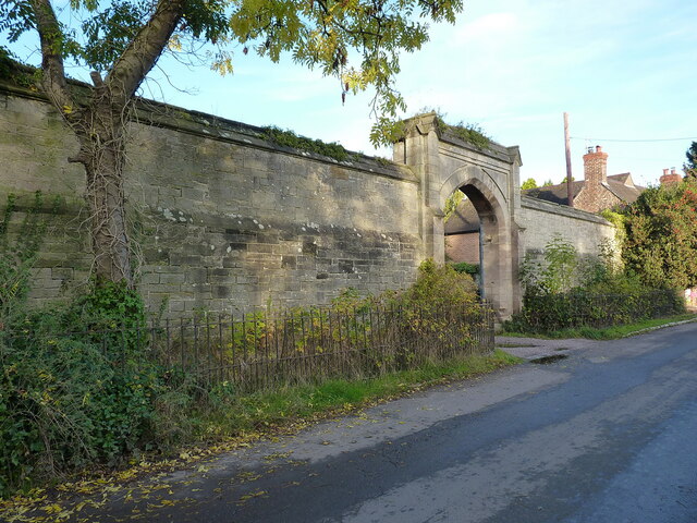
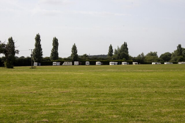
Holywell Plantation is a historic woodland located in Staffordshire, England. Covering an area of approximately 200 acres, it is situated within the picturesque Cannock Chase Forest. The plantation is known for its diverse range of trees, including oak, birch, beech, and pine, creating a rich and vibrant woodland ecosystem.
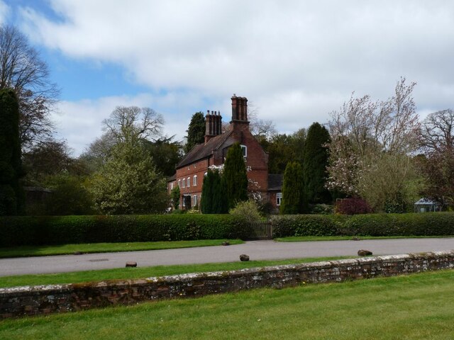
The plantation has a rich history dating back several centuries. It was originally part of the ancient hunting grounds of the Earl of Lichfield, and evidence of this can still be seen in the form of old deer parks and hunting lodges scattered throughout the woodland. Over the years, Holywell Plantation has been used for various purposes, including timber production and recreational activities.
Today, the plantation is managed by the Forestry Commission and is open to the public. It offers a range of recreational opportunities, such as walking trails, cycling routes, and horse riding paths, allowing visitors to explore the natural beauty of the woodland. The diverse flora and fauna found in Holywell Plantation make it an ideal habitat for a variety of wildlife, including deer, foxes, badgers, and numerous bird species.
In addition to its natural beauty, Holywell Plantation is also home to several historical landmarks. These include the remains of an ancient Roman road, which once connected the nearby town of Lichfield to the important Roman settlement of Letocetum. The plantation also features a number of archaeological sites, including burial mounds and ancient settlements, which provide valuable insights into the area's past.
Overall, Holywell Plantation offers a unique combination of natural beauty, historical significance, and recreational opportunities, making it a popular destination for both locals and tourists alike.
If you have any feedback on the listing, please let us know in the comments section below.
Holywell Plantation Images
Images are sourced within 2km of 52.712449/-2.290792 or Grid Reference SJ8012. Thanks to Geograph Open Source API. All images are credited.


Holywell Plantation is located at Grid Ref: SJ8012 (Lat: 52.712449, Lng: -2.290792)
Administrative County: Staffordshire
District: South Staffordshire
Police Authority: Staffordshire
What 3 Words
///deodorant.roving.wishes. Near Woodcote, Shropshire
Nearby Locations
Related Wikis

Brineton
Brineton is a hamlet in Staffordshire, England. It is 3/4 mile north of the village of Blymhill, and is within the civil parish of Blymhill and Weston...
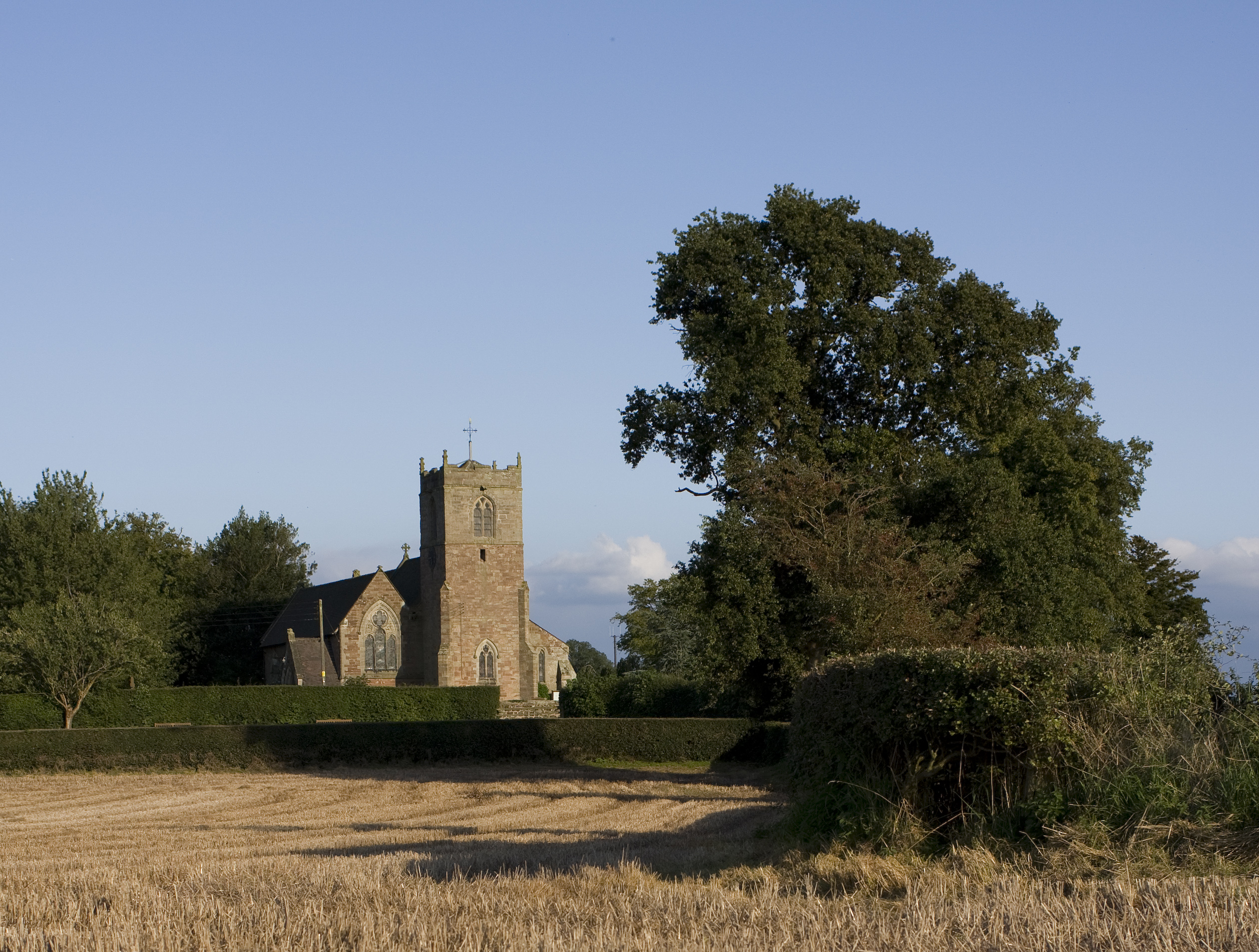
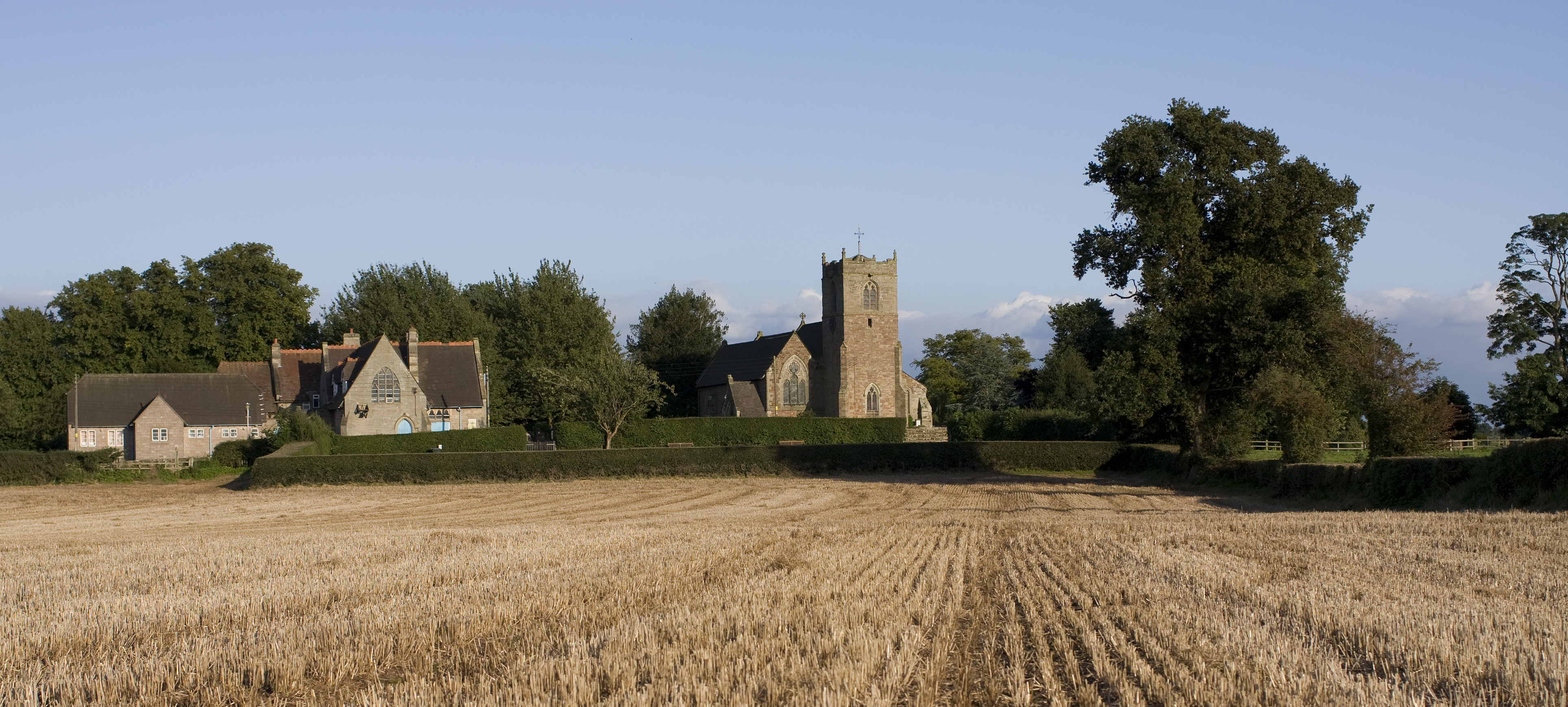
St Mary's Church, Blymhill
St. Mary's Church, Blymhill is an Anglican church in the village of Blymhill, Staffordshire, England (grid reference SJ808122). The building, which is...

Blymhill and Weston-under-Lizard
Blymhill and Weston-under-Lizard is a civil parish in the South Staffordshire district of Staffordshire, near the border with Shropshire in England. According...
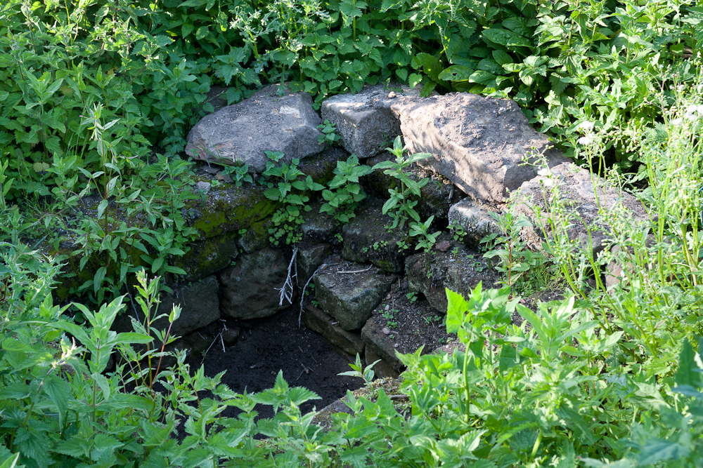
Elder Well
The Elder Well is a holy well located at Blymhill Marsh, close to the village of Blymhill, Staffordshire. It can be found among Elder trees on the north...
Blymhill
Blymhill is a village and former civil parish, now in the parish of Blymhill and Weston-under-Lizard, in the South Staffordshire district, in the county...

White Sitch
White Sitch is a 19th Century designed landscape by John Webb containing a picturesque reservoir in the middle, one mile west of Blymhill in Staffordshire...

Bromsgrove Sandstone
The Bromsgrove Sandstone is a geologic formation of the Sherwood Sandstone Group in England. It preserves fossils and ichnofossils of Chirotherium barthii...
Weston-under-Lizard
Weston-under-Lizard is a village and former civil parish, now in the parish of Blymhill and Weston-under-Lizard, in the South Staffordshire district of...
Nearby Amenities
Located within 500m of 52.712449,-2.290792Have you been to Holywell Plantation?
Leave your review of Holywell Plantation below (or comments, questions and feedback).