Black Heath Wood

Wood, Forest in Suffolk East Suffolk

England

Black Heath Wood

St Botolph's Church, Iken The Anglo-Saxon Chronicle records that in AD 654 'Botwulf began to build the minster at Icanho'. Better known now as St Botolph.
St Botolph's Church, Iken Credit: Dennis Jackson

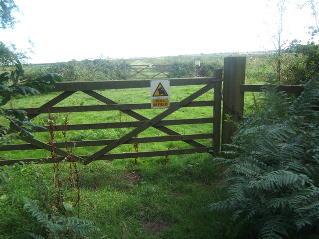
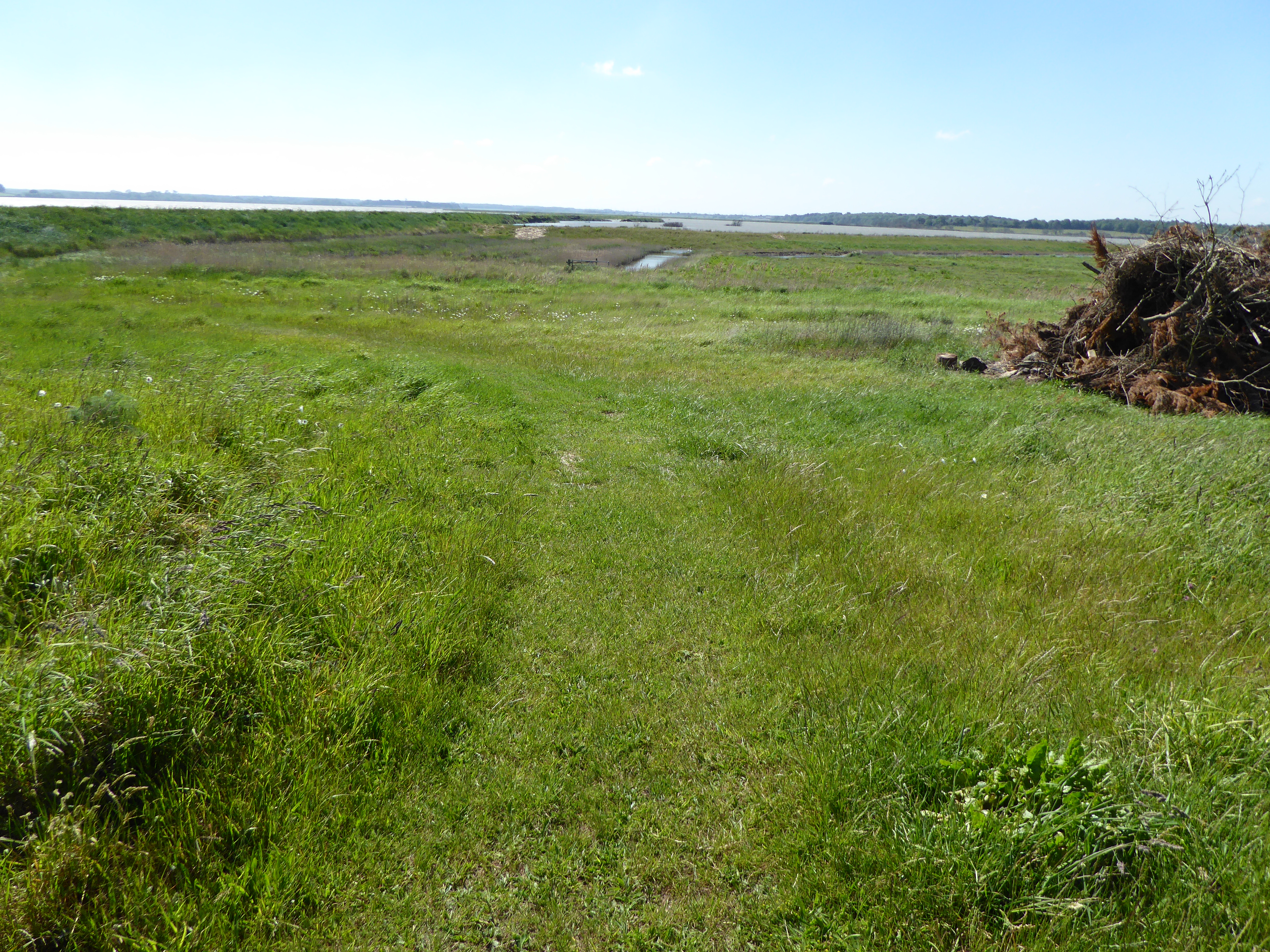
Black Heath Wood is a stunning forest located in Suffolk, England. Covering an area of approximately 500 acres, it is a haven for nature enthusiasts and those seeking solace in the beauty of the great outdoors. The wood is situated near the village of Westhorpe and is managed by the Forestry Commission.

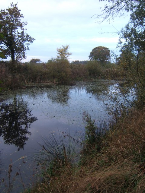
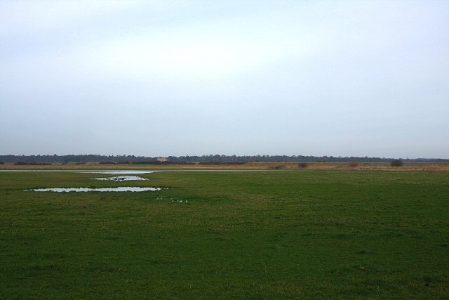
The forest boasts a diverse range of flora and fauna, with a mixture of deciduous and coniferous trees creating a rich and varied landscape. Ancient oaks, beeches, and birches are interspersed with spruces and firs, offering a stunning display of colors throughout the seasons. Bluebells carpet the forest floor in the spring, while ferns and mosses thrive in the shaded areas, creating a lush undergrowth.

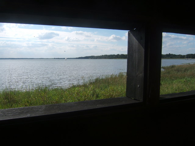
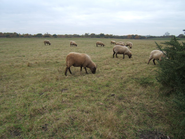
Black Heath Wood is also home to a wide array of wildlife. Visitors may catch glimpses of deer, foxes, badgers, and squirrels as they explore the forest trails. Birdwatchers will be delighted by the presence of woodpeckers, owls, and various songbirds that inhabit the trees.

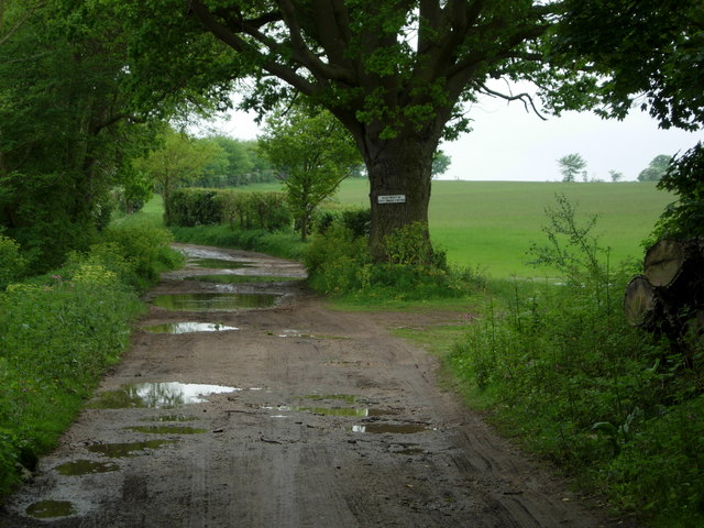
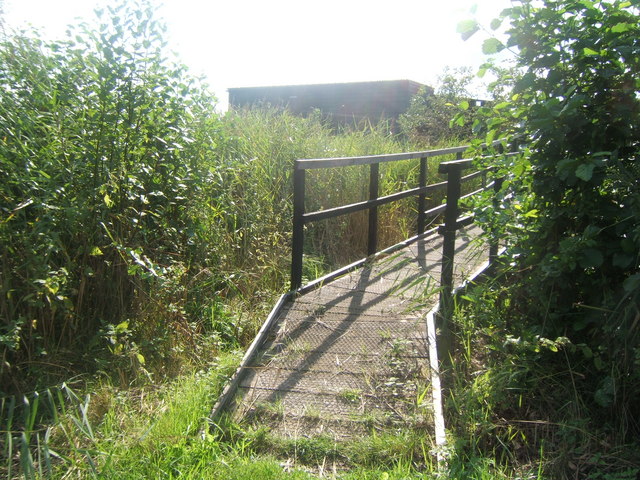
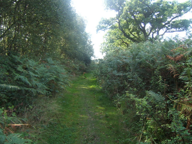
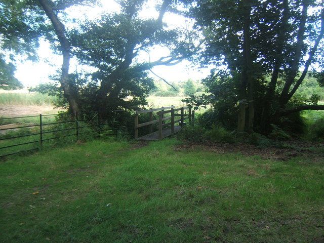
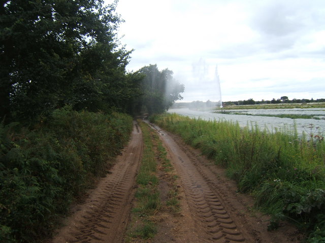
The forest offers a network of well-maintained paths and trails, making it popular for walking, hiking, and cycling. There are also designated picnic areas, providing a perfect spot to relax and enjoy the peaceful surroundings. Educational activities and guided nature walks are organized by the Forestry Commission, allowing visitors to learn more about the woodland ecosystem and its conservation efforts.

Overall, Black Heath Wood is a captivating destination that invites visitors to immerse themselves in the natural splendor of Suffolk's countryside.

If you have any feedback on the listing, please let us know in the comments section below.

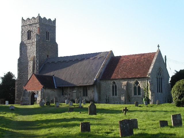
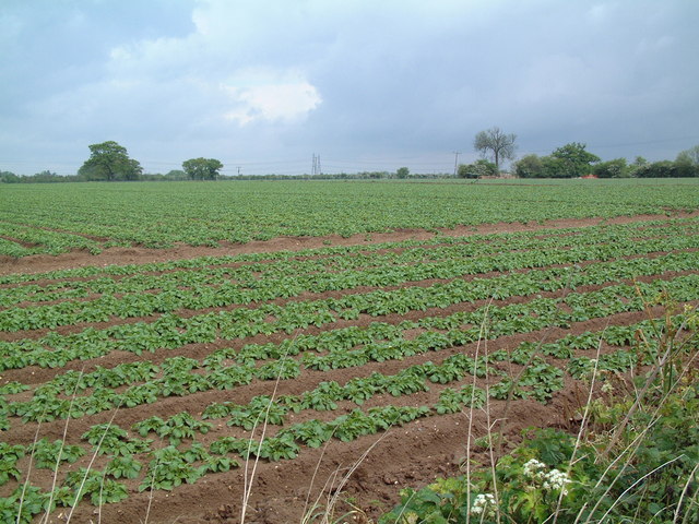
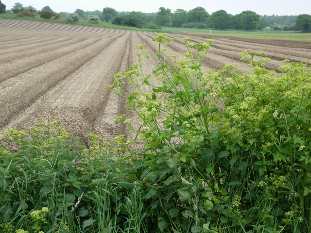
Black Heath Wood Images

Images are sourced within 2km of 52.168033/1.5389918 or Grid Reference TM4258. Thanks to Geograph Open Source API. All images are credited.

St Botolph's Church, Iken The Anglo-Saxon Chronicle records that in AD 654 'Botwulf began to build the minster at Icanho'. Better known now as St Botolph.
St Botolph's Church, Iken
The Anglo-Saxon Chronicle records that in AD 654 'Botwulf began to build the minster at Icanho'. Better known now as St Botolph.
Farmland near Knodishall The light, sandy soil typical of this part of Suffolk can be seen clearly in this field; the electricity pylons in the distance are two grid squares away.
Farmland near Knodishall
The light, sandy soil typical of this part of Suffolk can be seen clearly in this field; the electricity pylons in the distance are two grid squares away.
Bridleway to Snape The evidence of a very wet May can be seen on this bridleway leading towards Snape.  The notice on the tree says that dogs must be kept under control.
Bridleway to Snape
The evidence of a very wet May can be seen on this bridleway leading towards Snape. The notice on the tree says that dogs must be kept under control.
Farmland near Snape Farmland to the east of Snape village near Rookery Farm.
Farmland near Snape
Farmland to the east of Snape village near Rookery Farm.
Interior of St. Botolph, Iken, Suffolk Interior of St. Botolph, Iken, Suffolk. It was at this place that St. Botolph founded his monastery and brought Christianity to Suffolk. There has been a church on this site for over 1350 years.

See also this photograph <a href="https://www.geograph.org.uk/photo/434060">TM4156 : East Window and Altar, St. Botolph</a>.
Interior of St. Botolph, Iken, Suffolk
Interior of St. Botolph, Iken, Suffolk. It was at this place that St. Botolph founded his monastery and brought Christianity to Suffolk. There has been a church on this site for over 1350 years. See also this photograph TM4156 : East Window and Altar, St. Botolph.
Hosking Hide at Hazlewood Marshes The hide, which commemorates the late photographer Eric Hosking, has views out over the River Alde and Ham Creek.
Hosking Hide at Hazlewood Marshes
The hide, which commemorates the late photographer Eric Hosking, has views out over the River Alde and Ham Creek.
Ham Creek viewed from the Hosking Hide, Hazlewood Marshes
Footpath in Black Heath Forest near Snape This is part of the Sailors' Path.
Footpath in Black Heath Forest near Snape
This is part of the Sailors' Path.
Footbridge, Black Heath Forest
Gate across path leading to the Hosking Hide, Hazlewood Marshes If there was a bull in the field it wasn't very obvious.
Gate across path leading to the Hosking Hide, Hazlewood Marshes
If there was a bull in the field it wasn't very obvious.
Sailors' Path Cottages near Snape
East Window and Altar, St. Botolph The east window and altar of St. Botolph’s church. It was at this place that St. Botolph founded his monastery and brought Christianity to Suffolk. There has been a church on this site for over 1350 years.

See also <a href="https://www.geograph.org.uk/photo/212507">TM4156 : Interior of St. Botolph, Iken, Suffolk</a>.
East Window and Altar, St. Botolph
The east window and altar of St. Botolph’s church. It was at this place that St. Botolph founded his monastery and brought Christianity to Suffolk. There has been a church on this site for over 1350 years. See also TM4156 : Interior of St. Botolph, Iken, Suffolk.
Farm track and footpath near Ten Acre covert It needed careful timing to dodge the irrigation spray!
Farm track and footpath near Ten Acre covert
It needed careful timing to dodge the irrigation spray!
Lily Pond between Rushmere Lodge Farm and Hazlewood Hall Farm
Sheep in a field next to the Sailors' Path
St Botolph's Church, Iken A remote church on a peninsula of land that juts into the River Alde. The 'village' of Iken is no more than a few scattered houses.
St Botolph's Church, Iken
A remote church on a peninsula of land that juts into the River Alde. The 'village' of Iken is no more than a few scattered houses.
Iken Marshes Looking northwards from the track at the base of Yarn Hill. The building in the distance is Black Heath, on the far side of the River Alde.
Iken Marshes
Looking northwards from the track at the base of Yarn Hill. The building in the distance is Black Heath, on the far side of the River Alde.
River Alde from near a house in Blackheath.
Show me another place!

Black Heath Wood is located at Grid Ref: TM4258 (Lat: 52.168033, Lng: 1.5389918)

Administrative County: Suffolk

District: East Suffolk

Police Authority: Suffolk

What 3 Words

///fells.played.blush. Near Aldeburgh, Suffolk

Related Wikis

A1094 road

The A1094 is an A road in the English county of Suffolk. It is around 7 miles (11 km) in length. The road runs from a junction off the A12 trunk road at...

Snape Warren

Snape Warren is a 48 hectare biological Site of Special Scientific Interest east of Snape in Suffolk. It is part of the Sandlings Special Protection Area...

Sandlings Walk

The Sandlings Walk is a long-distance path in Suffolk, England. It runs 91.6km through the Suffolk Sandling that used to stretch from the outskirts of...

Hazlewood Marshes

Hazlewood Marshes is a 64 hectare nature reserve west of Aldeburgh in Suffolk. It is managed by the Suffolk Wildlife Trust. It is in the Alde-Ore Estuary...
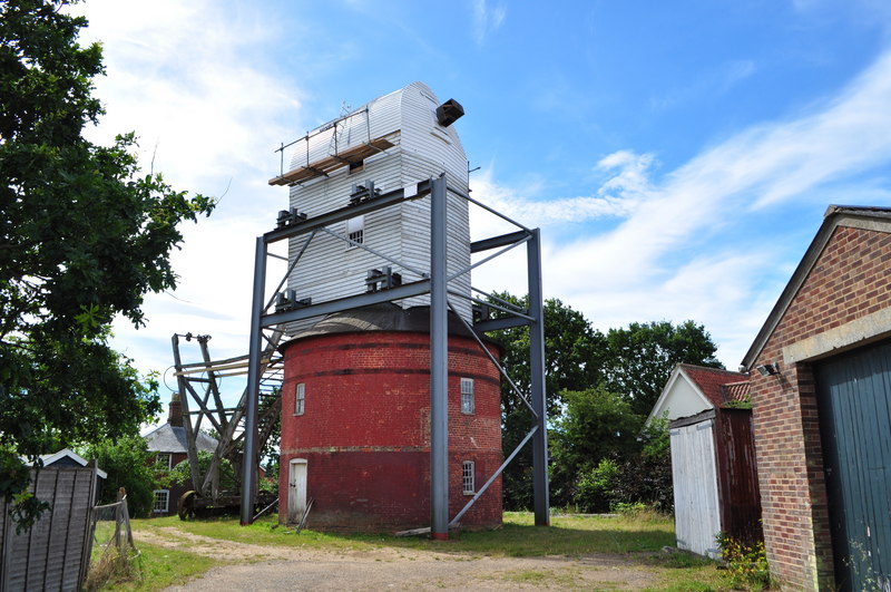
Friston Windmill

Friston Windmill is a Grade II* listed post mill at Friston, Suffolk, England which has been conserved. == History == Friston Windmill was moved from...

Snape Anglo-Saxon Cemetery

The Snape Anglo-Saxon Cemetery is a place of burial dated to the 6th century AD located on Snape Common, near to the town of Aldeburgh in Suffolk, Eastern...

Round Hill Pit, Aldeburgh

Round Hill Pit, Aldeburgh is a 0.5-hectare (1.2-acre) geological Site of Special Scientific Interest in Aldeburgh in Suffolk. It is a Geological Conservation...

Friston

Friston is a village and civil parish in the East Suffolk district, in the county of Suffolk, England. It is 3 miles (5 km) southeast of Saxmundham, its...

Nearby Amenities

Located within 500m of 52.168033,1.5389918
Source: PGS
Lat/Long: 52.1647789/1.5356136
Source: PGS
Lat/Long: 52.16491/1.5410043
Source: PGS
Lat/Long: 52.1648161/1.5420614
Source: PGS
Lat/Long: 52.1648721/1.5425839
The data included in this document is from www.openstreetmap.org. The data is made available under ODbL.

Have you been to Black Heath Wood?

Leave your review of Black Heath Wood below (or comments, questions and feedback).