Captain's Wood
Wood, Forest in Suffolk East Suffolk
England
Captain's Wood

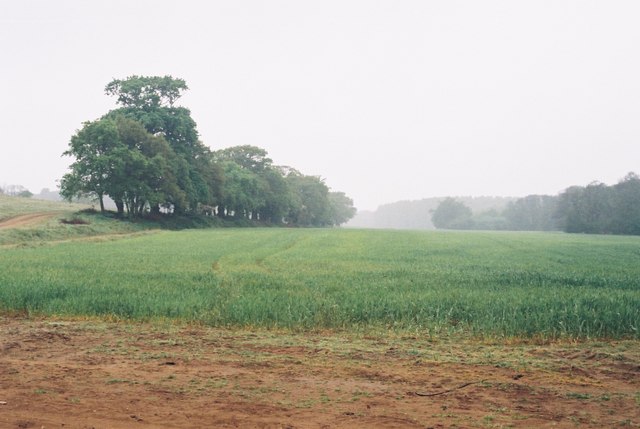
Captain's Wood is a picturesque woodland located in Suffolk, England. Covering an area of approximately 300 acres, it is renowned for its natural beauty and diverse wildlife. The wood is situated near the village of Sudbourne, nestled within the Suffolk Coast and Heaths Area of Outstanding Natural Beauty.
The wood is predominantly composed of mixed broadleaf trees, including oak, beech, and ash, which create a stunning kaleidoscope of colors during autumn. The dense canopy provides shelter for various bird species, such as woodpeckers, tawny owls, and nightingales. Additionally, the wood is home to a variety of mammal species, including deer, foxes, and badgers.
A network of well-maintained footpaths and trails allows visitors to explore the wood at their leisure. The paths wind through ancient woodland, offering glimpses of enchanting wildflowers, ferns, and mosses. There is a magical atmosphere throughout the wood, with sunlight filtering through the tree branches and creating dappled patterns on the forest floor.
Captain's Wood is a popular destination for nature enthusiasts, hikers, and birdwatchers. It offers a tranquil and peaceful escape from the hustle and bustle of daily life, providing an opportunity to reconnect with nature. The wood is also used for educational purposes, with local schools often organizing field trips to teach students about the importance of conservation and the natural environment.
Overall, Captain's Wood in Suffolk is a captivating woodland that boasts a rich biodiversity and provides a haven for both wildlife and visitors alike.
If you have any feedback on the listing, please let us know in the comments section below.
Captain's Wood Images
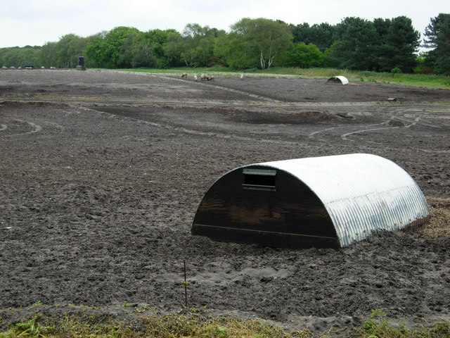
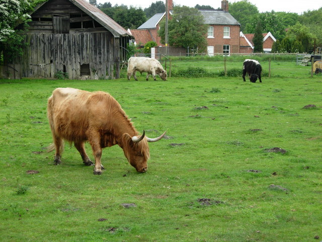
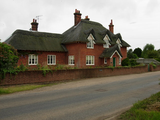
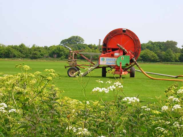
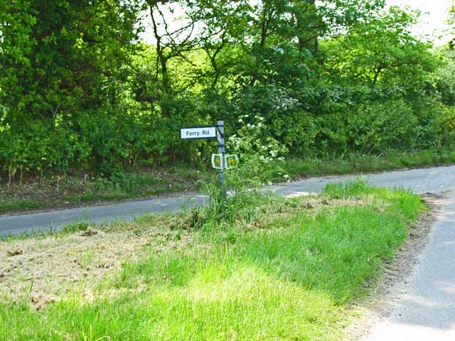
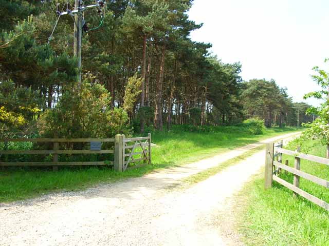
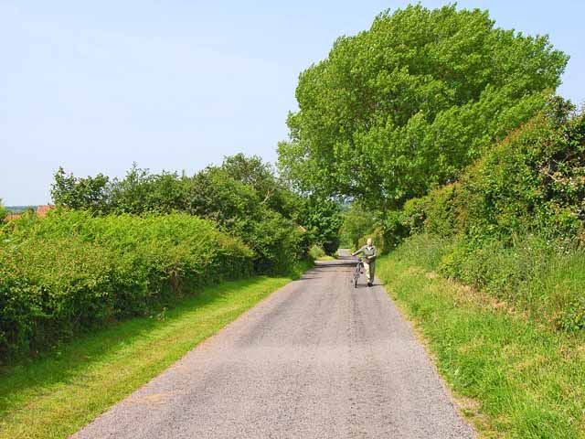
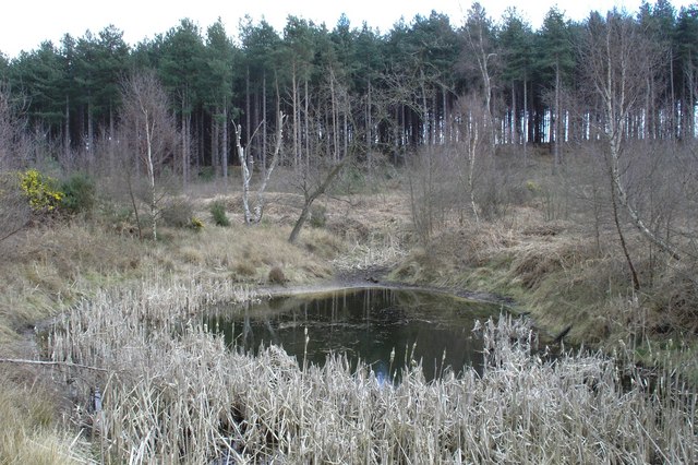
Images are sourced within 2km of 52.129292/1.535728 or Grid Reference TM4253. Thanks to Geograph Open Source API. All images are credited.


Captain's Wood is located at Grid Ref: TM4253 (Lat: 52.129292, Lng: 1.535728)
Administrative County: Suffolk
District: East Suffolk
Police Authority: Suffolk
What 3 Words
///keyboard.accented.december. Near Aldeburgh, Suffolk
Nearby Locations
Related Wikis

Captain's Wood
Captain's Wood is a 62 hectare nature reserve in Sudbourne in Suffolk. It is owned and managed by the Suffolk Wildlife Trust.This site has woodland, rough...
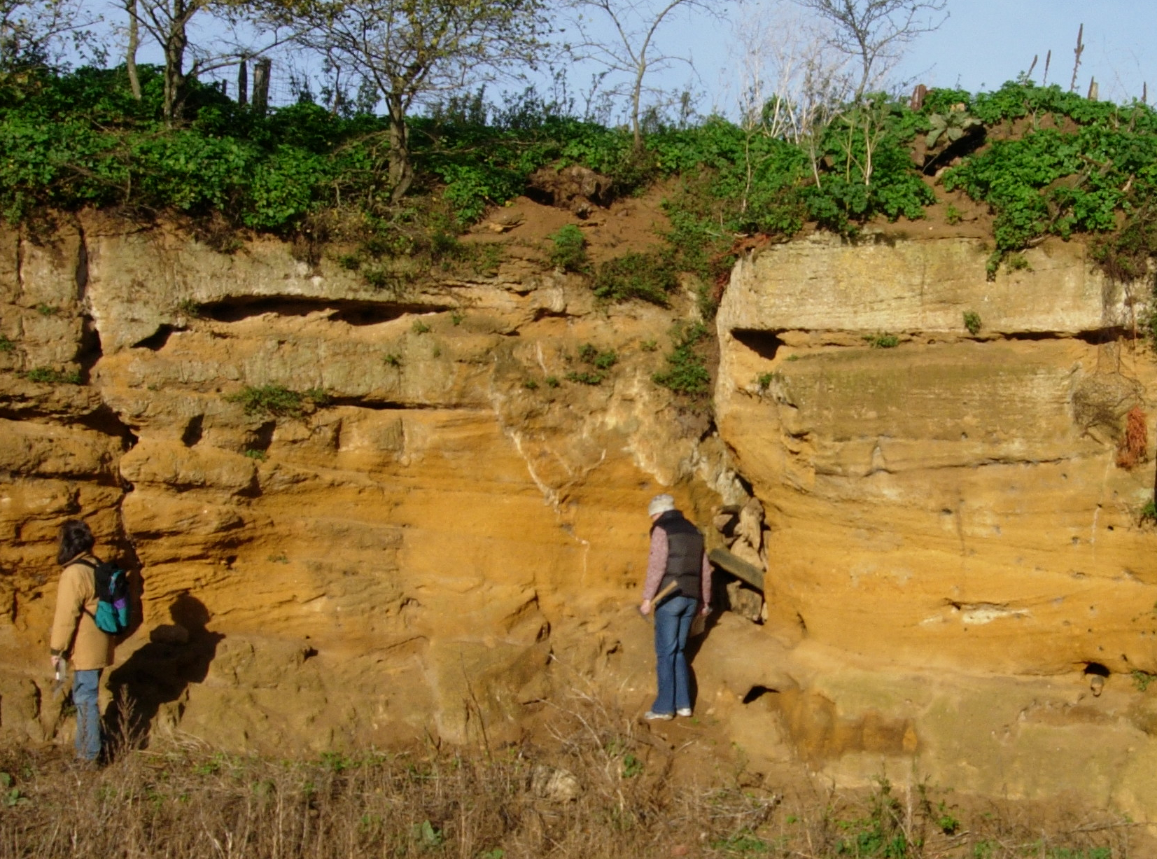
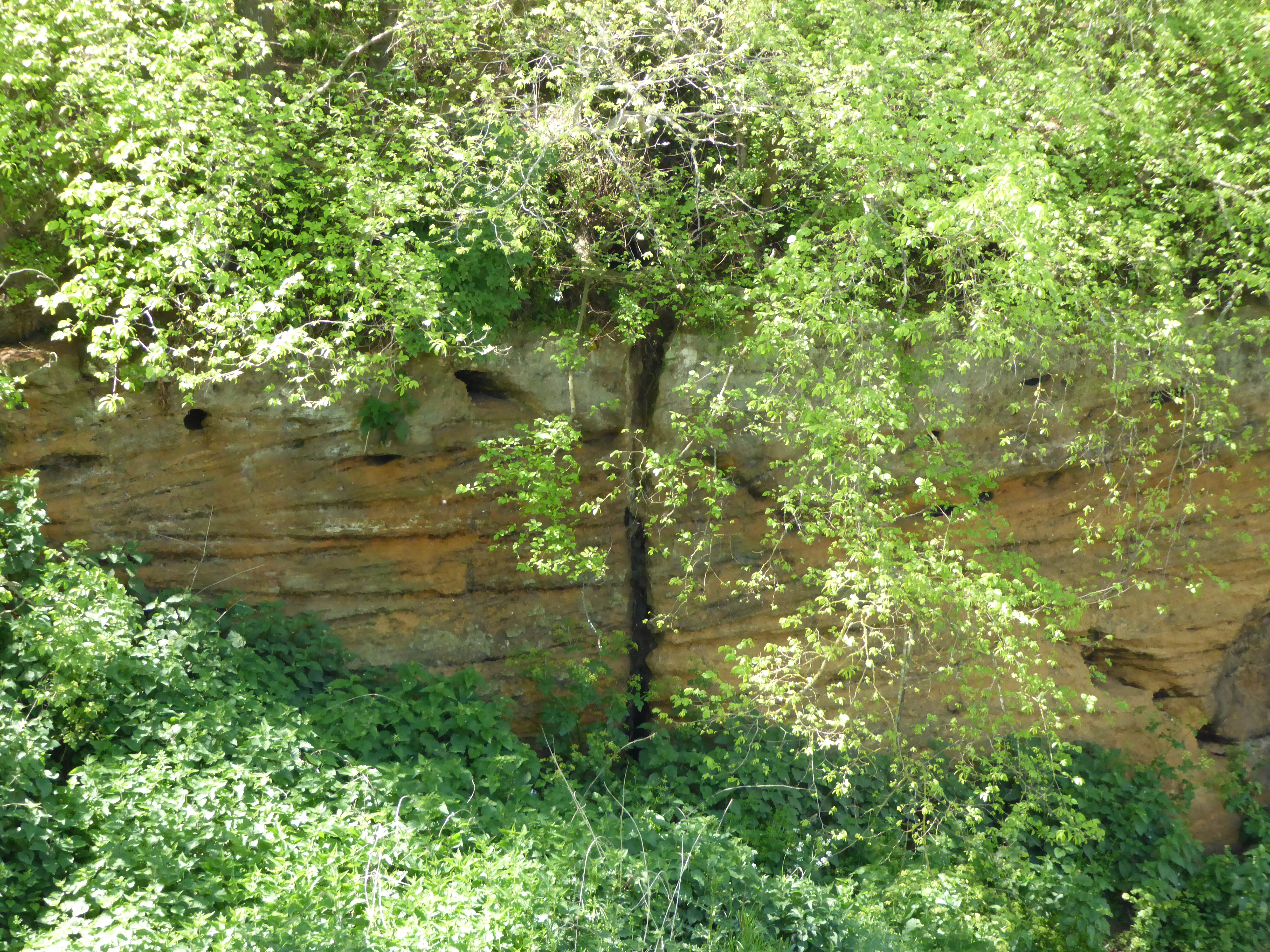
Coralline Crag Formation
The Coralline Crag Formation is a geological formation in England. It is a series of marine deposits found near the North Sea coast of Suffolk and characterised...

Sudbourne
Sudbourne is a village and civil parish in Suffolk, England, located approximately 2 miles (3 km) north of Orford. All Saints' Church dates from the 14th...
Valley Farm Pit, Sudbourne
Valley Farm Pit, Sudbourne is a 0.5-hectare (1.2-acre) geological Site of Special Scientific Interest north of Orford in Suffolk. It is a Geological Conservation...
Nearby Amenities
Located within 500m of 52.129292,1.535728Have you been to Captain's Wood?
Leave your review of Captain's Wood below (or comments, questions and feedback).