Ash Carr
Wood, Forest in Suffolk East Suffolk
England
Ash Carr
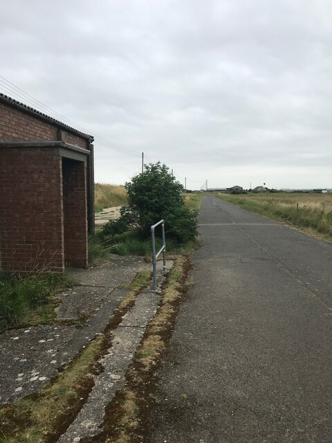
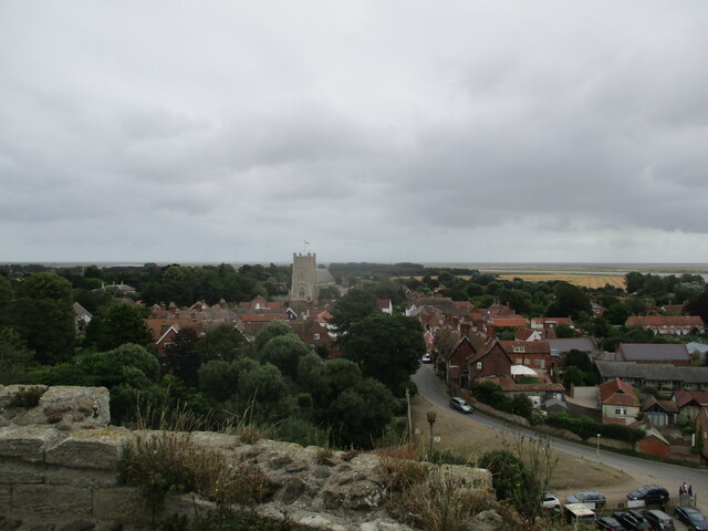
Ash Carr is a small village located in the county of Suffolk, England. Situated within the district of Woodbridge and adjacent to the larger village of Sutton, Ash Carr is known for its picturesque surroundings and close proximity to several forests.
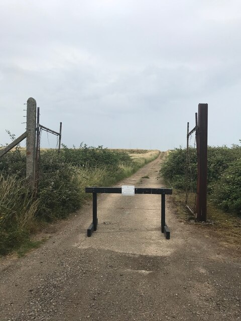
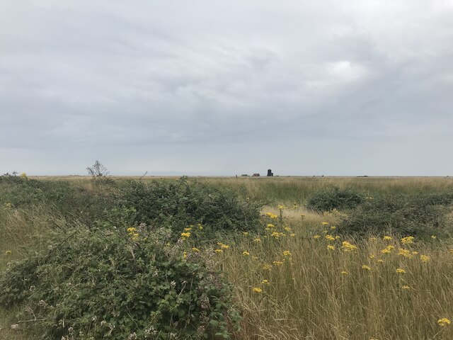
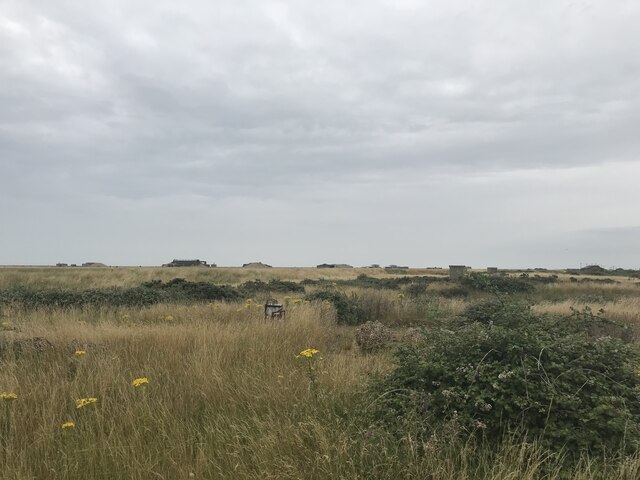
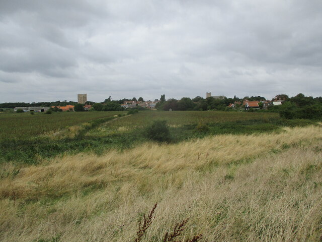
The village is characterized by its serene and idyllic atmosphere, making it a popular destination for nature lovers and those seeking a peaceful retreat. Ash Carr is surrounded by lush greenery and rolling hills, with the nearby forests providing ample opportunities for outdoor activities such as hiking, cycling, and birdwatching.
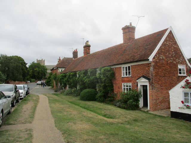
The village itself is relatively small, with a tight-knit community that takes pride in its rural heritage. Traditional cottages and farmhouses dot the landscape, contributing to the area's rustic charm. The village also features a local pub and a few small businesses, adding to its modest and welcoming appeal.
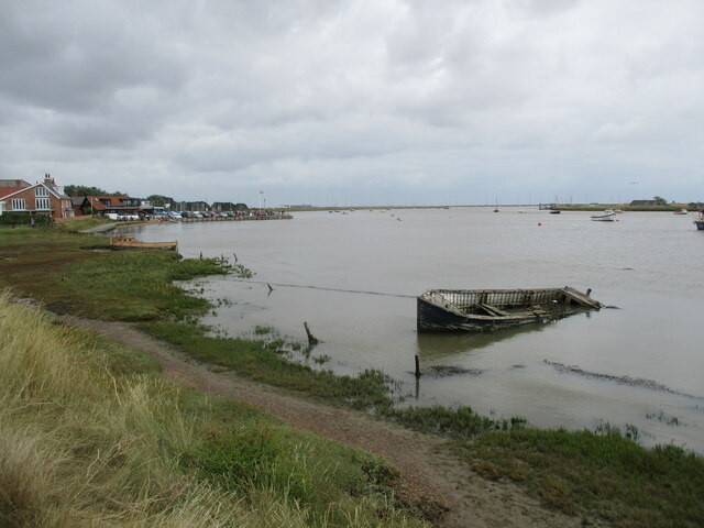
Ash Carr is conveniently located near several notable attractions. The nearby Sutton Hoo, an ancient burial site and archaeological treasure, draws visitors from far and wide. Additionally, the village is within easy reach of the Suffolk Coast and Heaths Area of Outstanding Natural Beauty, offering stunning coastal views and diverse wildlife.
Overall, Ash Carr, Suffolk provides a peaceful and picturesque setting for residents and visitors alike. With its close proximity to forests and natural landmarks, the village offers ample opportunities for outdoor exploration and a chance to immerse oneself in the beauty of the Suffolk countryside.
If you have any feedback on the listing, please let us know in the comments section below.
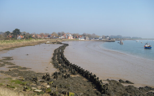
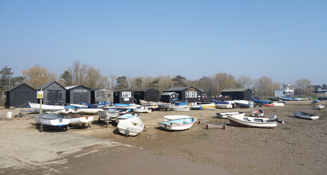
Ash Carr Images
Images are sourced within 2km of 52.10087/1.5458632 or Grid Reference TM4250. Thanks to Geograph Open Source API. All images are credited.
Ash Carr is located at Grid Ref: TM4250 (Lat: 52.10087, Lng: 1.5458632)
Administrative County: Suffolk
District: East Suffolk
Police Authority: Suffolk
What 3 Words
///regulator.fussed.isolating. Near Aldeburgh, Suffolk
Nearby Locations
Related Wikis
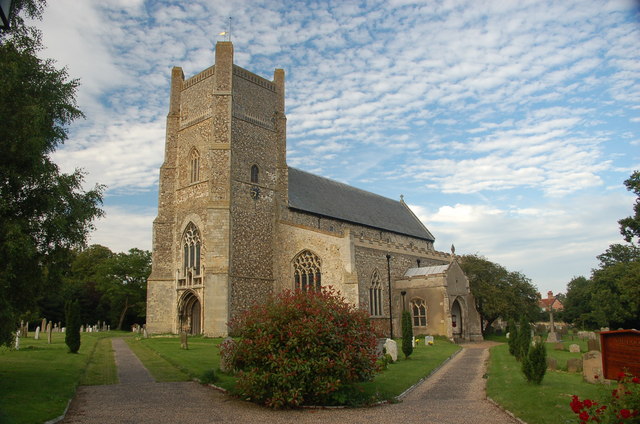
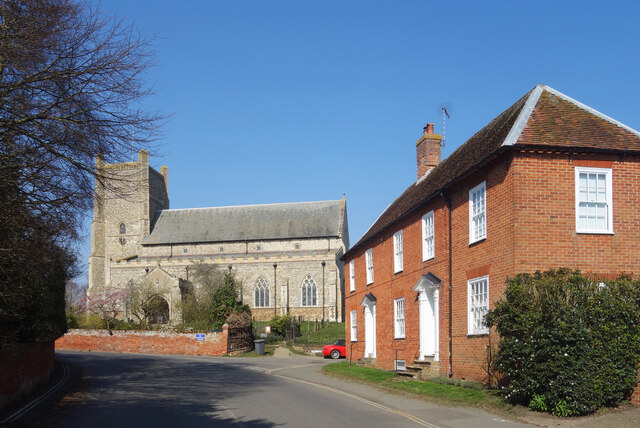
St Bartholomew's Church, Orford
The Church of St Bartholomew is the parish church of the town of Orford, England. A medieval church, dating from the fourteenth century, with reconstructions...
Orford, Suffolk
Orford is a village in Suffolk, England, within the Suffolk Coast and Heaths Area of Outstanding Natural Beauty. It is 9 miles (14 km) east of Woodbridge...

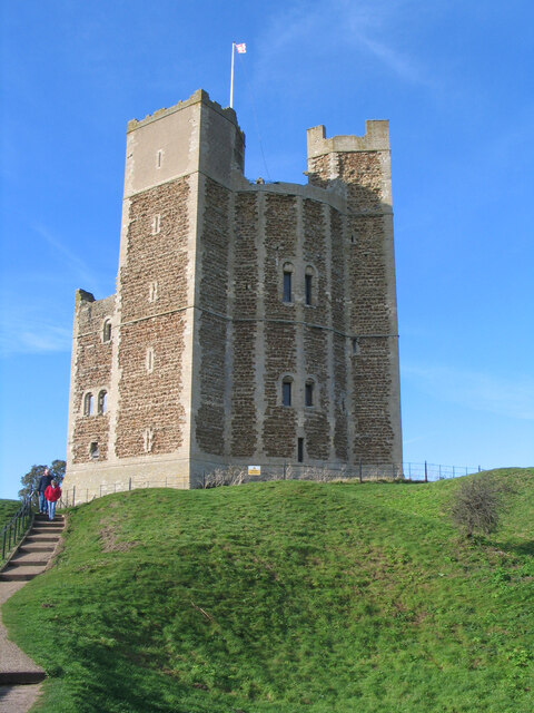
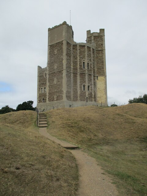
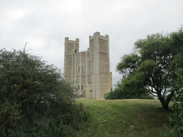
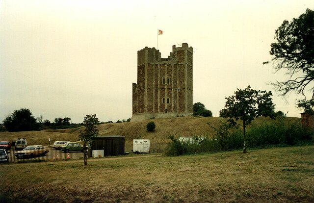
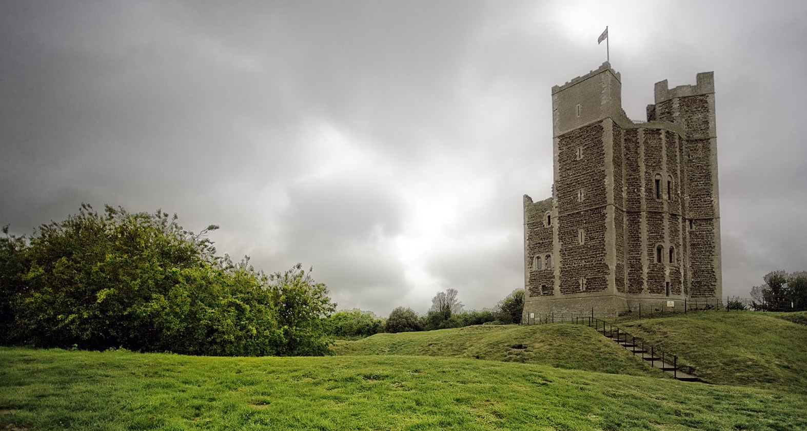
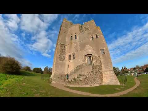
Orford Castle
Orford Castle is a castle in Orford in the English county of Suffolk, 12 miles (19 km) northeast of Ipswich, with views over Orford Ness. It was built...

Crag Farm Pit, Sudbourne
Crag Farm Pit, Sudbourne is a 4.8-hectare (12-acre) geological Site of Special Scientific Interest east of Sudbourne in Suffolk. It is a Geological Conservation...

Orfordness transmitting station
The Orfordness transmitting station was a major radio broadcasting facility at Orford Ness on the Suffolk coast in the United Kingdom able to broadcast...
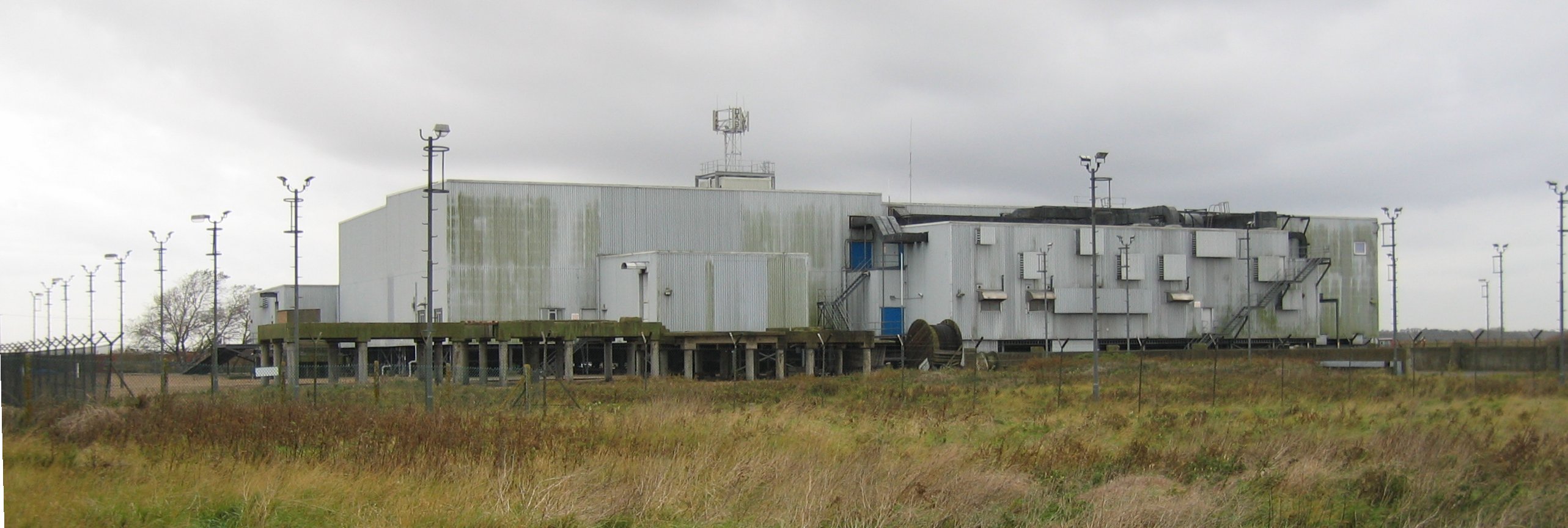
Cobra Mist
Cobra Mist was the codename for an Anglo-American experimental over-the-horizon radar station at Orford Ness, England. It was known technically as AN/FPS...

Captain's Wood
Captain's Wood is a 62 hectare nature reserve in Sudbourne in Suffolk. It is owned and managed by the Suffolk Wildlife Trust.This site has woodland, rough...

Richmond Farm Pit, Gedgrave
Richmond Farm Pit, Gedgrave is a 0.57-hectare (1.4-acre) geological Site of Special Scientific Interest south-west of Orford in Suffolk. It is a Geological...
Related Videos


A walk around Orford in Suffolk
Today join me as I take a walk around the idyllic seaside village of Orford in Suffolk. Like many Suffolk coastal villages it was of ...
Orford Quay, Ness and Castle
Trip to the village of Orford to film the quayside, bomb test facilities and the castle using Insta360 and Mavic Air 2.

The Isle of Secrets - Orford Ness (4K)
A visit to Orford Ness in Suffolk, once a top secret military research site and today operated by the National Trust. Thanks to my ...
Nearby Amenities
Located within 500m of 52.10087,1.5458632Have you been to Ash Carr?
Leave your review of Ash Carr below (or comments, questions and feedback).