Bullockshed Grove
Wood, Forest in Suffolk East Suffolk
England
Bullockshed Grove
Bullockshed Grove is a picturesque wood located in Suffolk, England. Situated near the village of Bullockshed, the grove is known for its serene and tranquil atmosphere, making it a popular destination for nature lovers and hikers alike.
Covering an area of approximately 50 acres, Bullockshed Grove is characterized by its diverse range of tree species, including oak, beech, and ash. These majestic trees create a dense canopy, providing shade and shelter for a variety of wildlife that call the grove their home. Visitors to the grove can expect to encounter an array of bird species, such as woodpeckers, song thrushes, and owls, as well as small mammals like squirrels and hedgehogs.
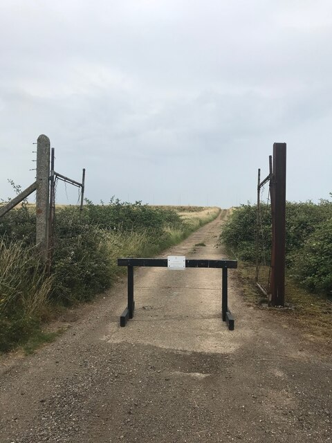
The grove is crisscrossed by a network of well-maintained footpaths, allowing visitors to explore its natural beauty at their leisure. These paths wind through the wood, leading visitors past vibrant wildflower displays and babbling brooks. The grove also features a small pond, which provides a habitat for frogs, newts, and dragonflies.
Bullockshed Grove is managed by the Suffolk Wildlife Trust, ensuring the preservation of its natural habitat and biodiversity. The trust organizes various educational events and guided walks throughout the year to promote awareness and appreciation of the grove's ecological importance.
In summary, Bullockshed Grove is a captivating woodland in Suffolk that offers a haven of tranquility and natural beauty. With its diverse range of trees, abundant wildlife, and well-maintained footpaths, it is a perfect destination for those seeking an escape into nature.
If you have any feedback on the listing, please let us know in the comments section below.
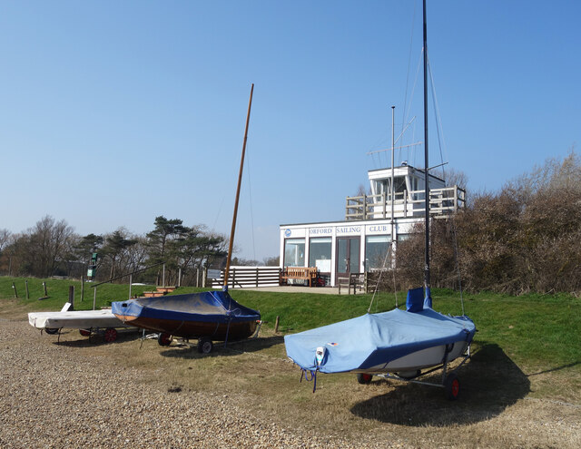
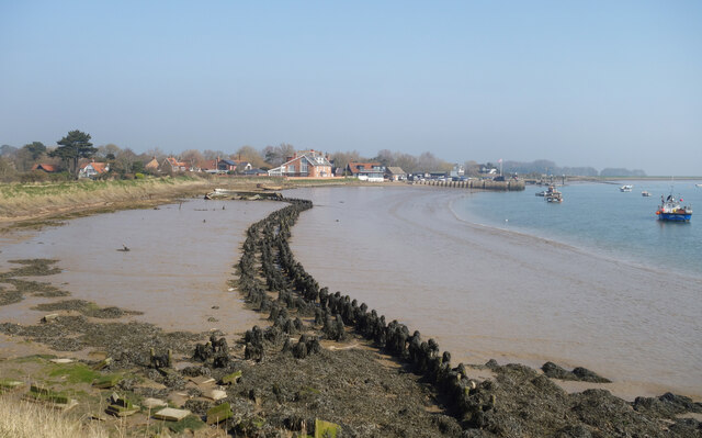
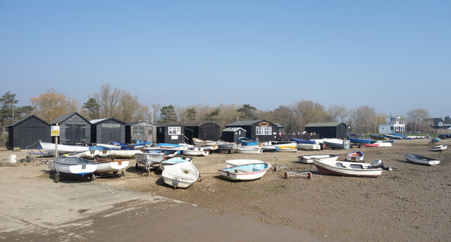
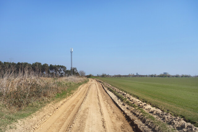
Bullockshed Grove Images
Images are sourced within 2km of 52.103069/1.5409256 or Grid Reference TM4250. Thanks to Geograph Open Source API. All images are credited.


Bullockshed Grove is located at Grid Ref: TM4250 (Lat: 52.103069, Lng: 1.5409256)
Administrative County: Suffolk
District: East Suffolk
Police Authority: Suffolk
What 3 Words
///pigtails.stunt.contained. Near Aldeburgh, Suffolk
Nearby Locations
Related Wikis
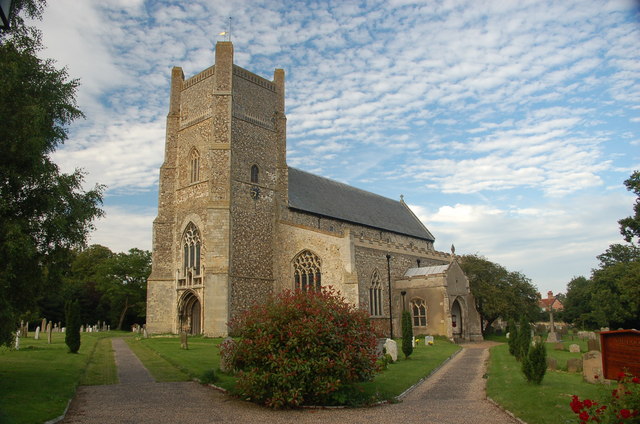
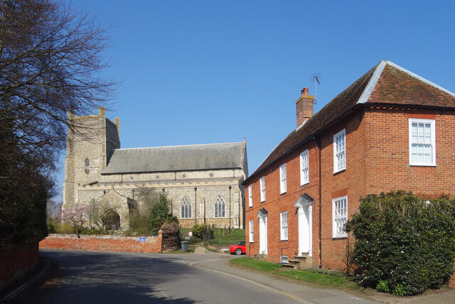
St Bartholomew's Church, Orford
The Church of St Bartholomew is the parish church of the town of Orford, England. A medieval church, dating from the fourteenth century, with reconstructions...
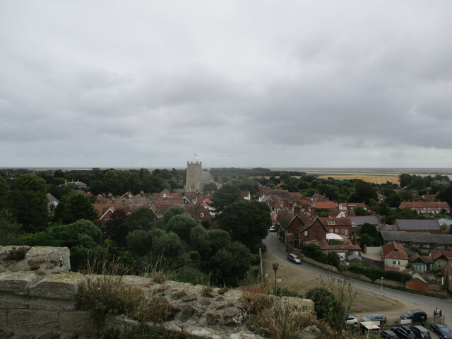
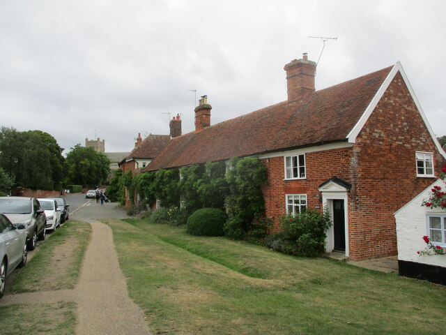
Orford, Suffolk
Orford is a village in Suffolk, England, within the Suffolk Coast and Heaths Area of Outstanding Natural Beauty. It is 9 miles (14 km) east of Woodbridge...

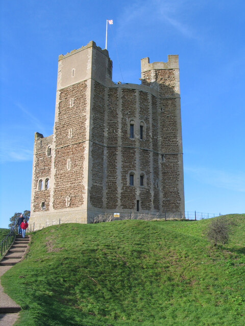
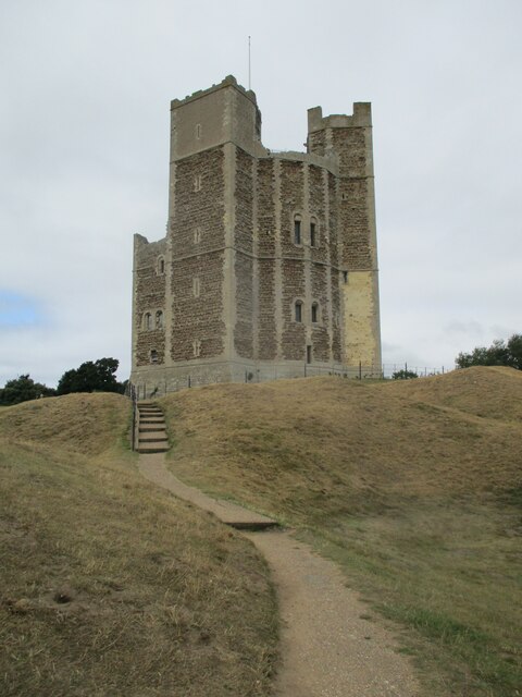
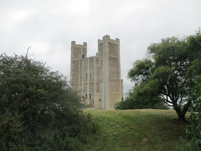
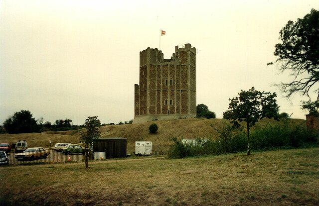
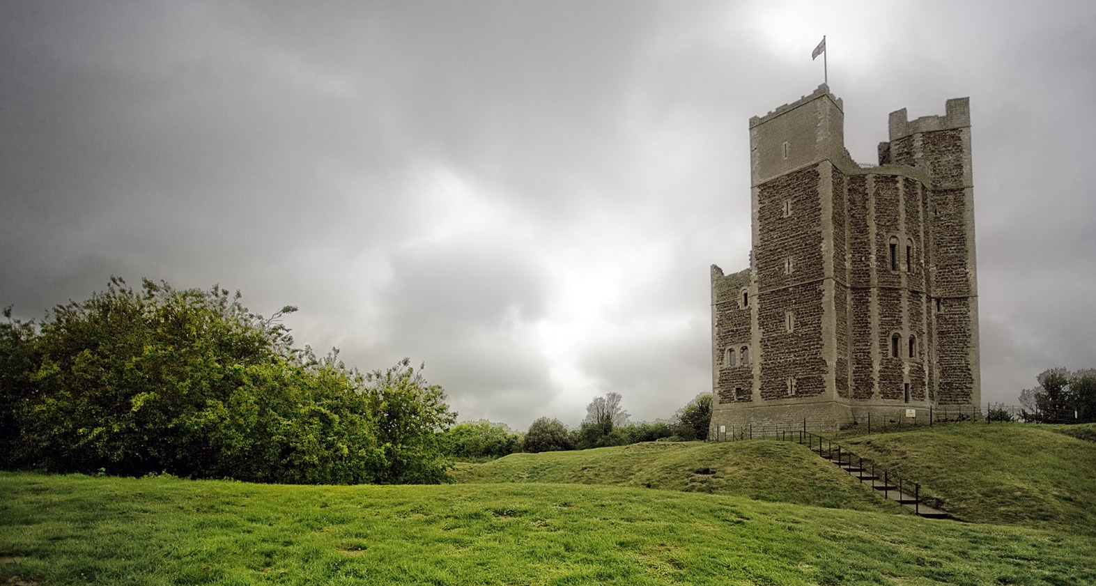
Orford Castle
Orford Castle is a castle in Orford in the English county of Suffolk, 12 miles (19 km) northeast of Ipswich, with views over Orford Ness. It was built...

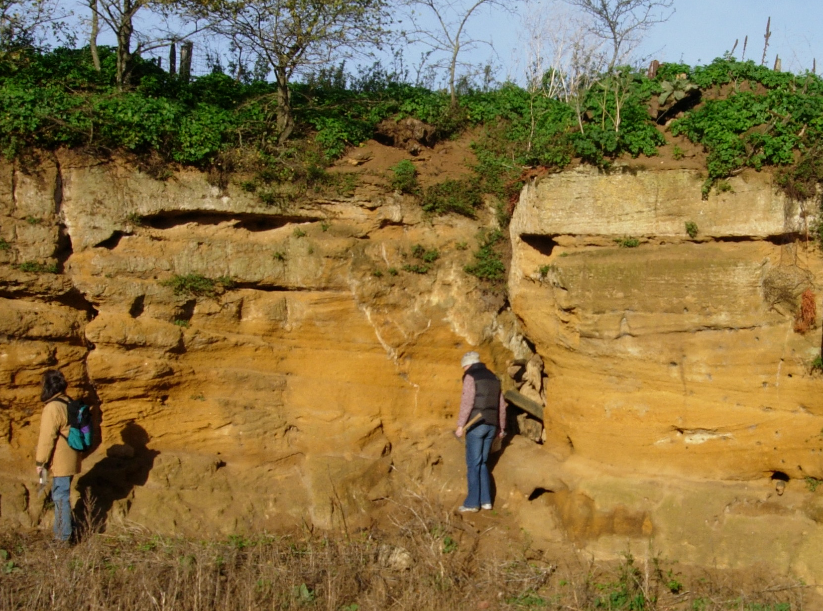
Crag Farm Pit, Sudbourne
Crag Farm Pit, Sudbourne is a 4.8-hectare (12-acre) geological Site of Special Scientific Interest east of Sudbourne in Suffolk. It is a Geological Conservation...

Captain's Wood
Captain's Wood is a 62 hectare nature reserve in Sudbourne in Suffolk. It is owned and managed by the Suffolk Wildlife Trust.This site has woodland, rough...

Sudbourne Park Pit
Sudbourne Park Pit is a 1.1-hectare (2.7-acre) geological Site of Special Scientific Interest between Orford and Chillesford in Suffolk. It is a Geological...
Coralline Crag Formation
The Coralline Crag Formation is a geological formation in England. It is a series of marine deposits found near the North Sea coast of Suffolk and characterised...

Richmond Farm Pit, Gedgrave
Richmond Farm Pit, Gedgrave is a 0.57-hectare (1.4-acre) geological Site of Special Scientific Interest south-west of Orford in Suffolk. It is a Geological...
Nearby Amenities
Located within 500m of 52.103069,1.5409256Have you been to Bullockshed Grove?
Leave your review of Bullockshed Grove below (or comments, questions and feedback).