Elm Covert
Wood, Forest in Suffolk East Suffolk
England
Elm Covert

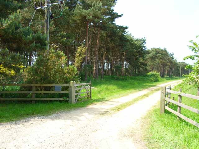
Elm Covert, located in Suffolk, is a captivating woodland area encompassing approximately 100 acres of pristine nature. The covert is primarily known for its abundance of elm trees, which contribute to its unique charm and provide a haven for various wildlife species.
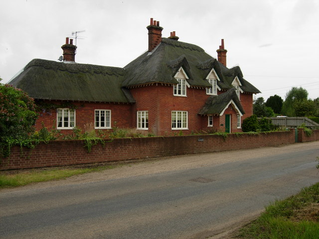
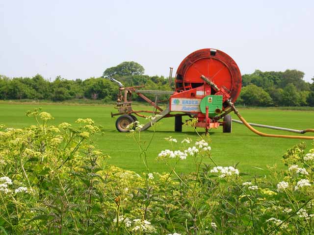
The wood is nestled in a rural setting, surrounded by vast fields and meadows, creating a harmonious blend of natural landscapes. A network of well-maintained walking trails meanders through the forest, allowing visitors to explore and immerse themselves in its tranquility. These paths offer a glimpse into the rich biodiversity that thrives within Elm Covert, with numerous species of flora and fauna to be found along the way.
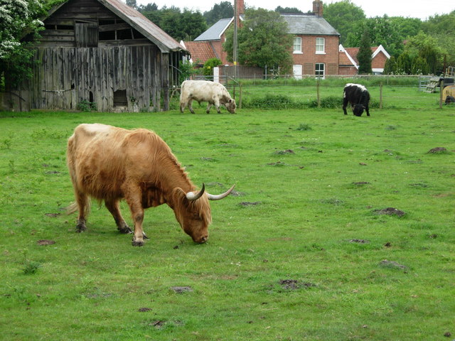
The woodland is home to a diverse array of bird species, including owls, woodpeckers, and songbirds, making it a popular destination for birdwatchers and nature enthusiasts. Additionally, the covert provides a habitat for small mammals such as squirrels, rabbits, and foxes, as well as a variety of insects and reptiles.
Elm Covert also holds historical significance, with records indicating its existence for several centuries. The wood has been carefully managed over the years to preserve its natural beauty while allowing controlled access for visitors to appreciate its wonders.
Overall, Elm Covert in Suffolk offers an idyllic retreat for individuals seeking solace in nature. Its flourishing elm trees, diverse wildlife, and peaceful atmosphere make it an enchanting destination for both locals and tourists alike.
If you have any feedback on the listing, please let us know in the comments section below.
Elm Covert Images
Images are sourced within 2km of 52.118333/1.5474988 or Grid Reference TM4252. Thanks to Geograph Open Source API. All images are credited.


Elm Covert is located at Grid Ref: TM4252 (Lat: 52.118333, Lng: 1.5474988)
Administrative County: Suffolk
District: East Suffolk
Police Authority: Suffolk
What 3 Words
///fatter.creeps.unionists. Near Aldeburgh, Suffolk
Nearby Locations
Related Wikis

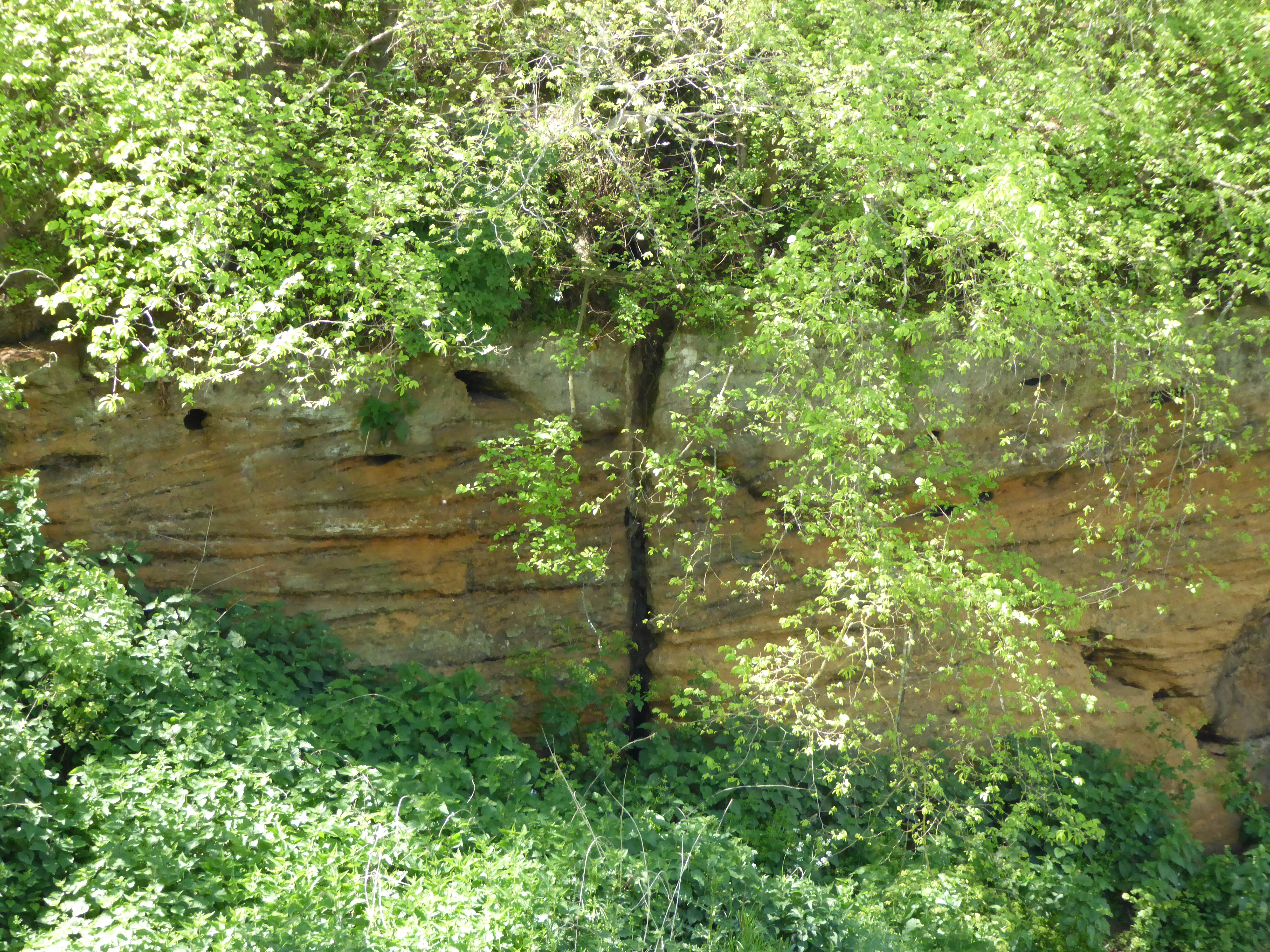
Crag Farm Pit, Sudbourne
Crag Farm Pit, Sudbourne is a 4.8-hectare (12-acre) geological Site of Special Scientific Interest east of Sudbourne in Suffolk. It is a Geological Conservation...

Captain's Wood
Captain's Wood is a 62 hectare nature reserve in Sudbourne in Suffolk. It is owned and managed by the Suffolk Wildlife Trust.This site has woodland, rough...
Valley Farm Pit, Sudbourne
Valley Farm Pit, Sudbourne is a 0.5-hectare (1.2-acre) geological Site of Special Scientific Interest north of Orford in Suffolk. It is a Geological Conservation...
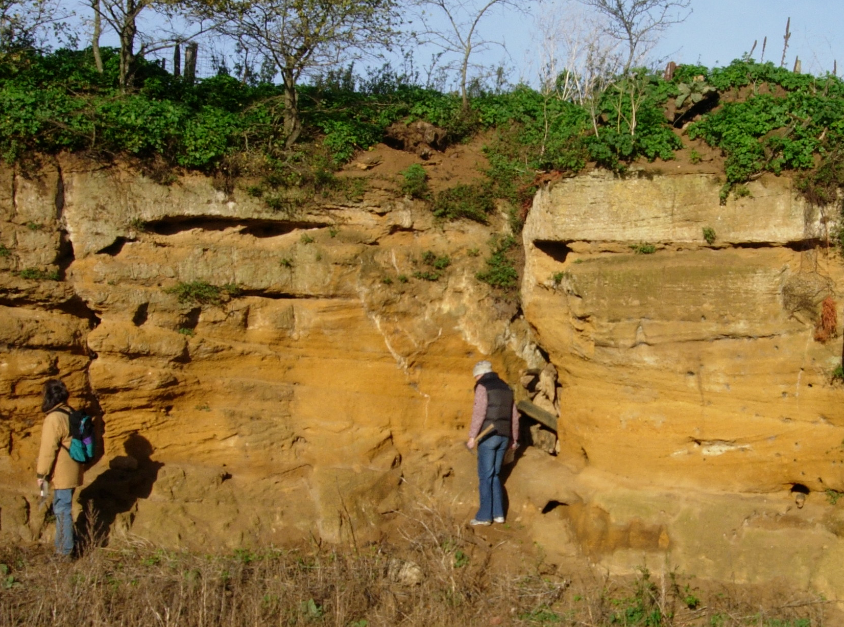
Coralline Crag Formation
The Coralline Crag Formation is a geological formation in England. It is a series of marine deposits found near the North Sea coast of Suffolk and characterised...
Nearby Amenities
Located within 500m of 52.118333,1.5474988Have you been to Elm Covert?
Leave your review of Elm Covert below (or comments, questions and feedback).