The Shrubbery

Wood, Forest in Norfolk South Norfolk

England

The Shrubbery

A143 east approaching junction with A146
A143 east approaching junction with A146 Credit: Roy Hughes

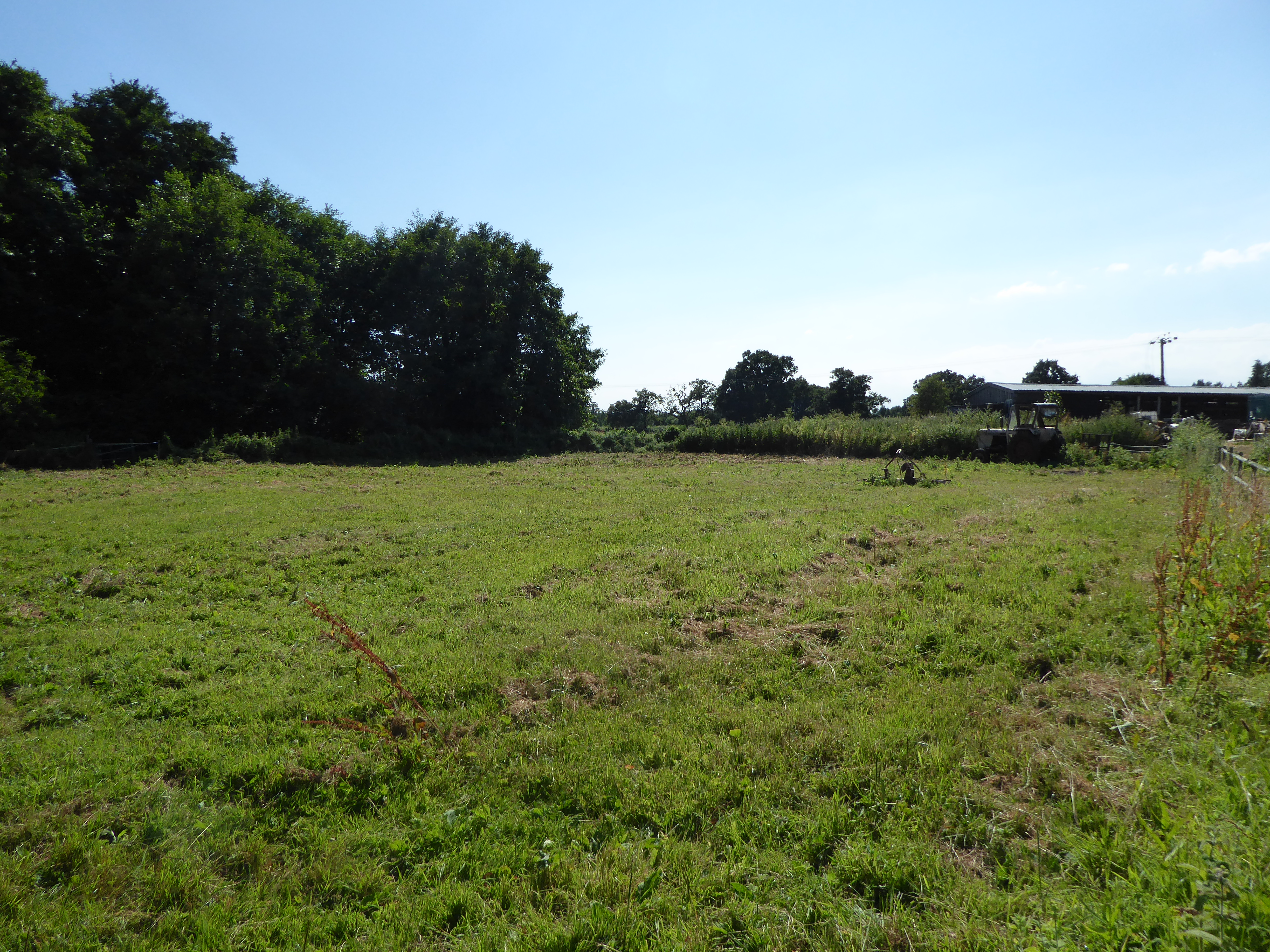
The Shrubbery is a charming woodland area located in Norfolk, England. Covering a vast expanse of land, it is a well-preserved and diverse forest that offers a serene retreat for nature enthusiasts. The forest is known for its abundant shrubs and trees, with various species such as oak, beech, and pine dominating the landscape.

The Shrubbery is home to a wide range of flora and fauna, providing a haven for numerous species of birds, insects, and small mammals. The forest floor is carpeted with a rich assortment of wildflowers and ferns, creating a picturesque setting for visitors to explore.

Tranquil walking trails wind through the forest, allowing visitors to immerse themselves in the natural beauty of the surroundings. These well-maintained paths provide a peaceful environment for hiking, jogging, or simply enjoying a leisurely stroll. The Shrubbery is also a popular spot for picnics, with designated areas offering scenic views and ample seating.

In addition to its natural charm, The Shrubbery boasts a historical significance. The forest has been an integral part of the local community for centuries, with evidence of human habitation dating back to ancient times. Historical landmarks, such as ruins and burial mounds, can be found throughout the area, adding an extra layer of intrigue to the forest.

Overall, The Shrubbery in Norfolk is a magnificent woodland, offering visitors a chance to escape the hustle and bustle of modern life and immerse themselves in the beauty of nature. With its diverse ecosystem, serene atmosphere, and historical significance, it truly is a gem waiting to be explored.

If you have any feedback on the listing, please let us know in the comments section below.

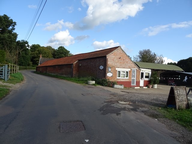
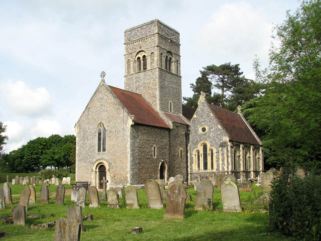
The Shrubbery Images

Images are sourced within 2km of 52.473038/1.5500927 or Grid Reference TM4192. Thanks to Geograph Open Source API. All images are credited.

A143 east approaching junction with A146
River Waveney The River Waveney forms the boundary between Suffolk and Norfolk. It rises at Redgrave Fen and flows in an easterly direction though the towns of Diss, Bungay (the head of navigation) and Beccles. There is a weir at Billingford, shortly after the River Dove, flowing northwards from Eye, joins the Waveney on the southern bank. The Waveney passes round Bungay and on to Beccles. Having skirted past Oulton Broad it passes through Somerleyton and Hadiscoe before merging with the Yare in Breydon Water.
River Waveney
The River Waveney forms the boundary between Suffolk and Norfolk. It rises at Redgrave Fen and flows in an easterly direction though the towns of Diss, Bungay (the head of navigation) and Beccles. There is a weir at Billingford, shortly after the River Dove, flowing northwards from Eye, joins the Waveney on the southern bank. The Waveney passes round Bungay and on to Beccles. Having skirted past Oulton Broad it passes through Somerleyton and Hadiscoe before merging with the Yare in Breydon Water.
Pylon by River Waveney
River Waveney The River Waveney forms the boundary between Suffolk and Norfolk. It rises at Redgrave Fen and flows in an easterly direction though the towns of Diss, Bungay (the head of navigation) and Beccles. There is a weir at Billingford, shortly after the River Dove, flowing northwards from Eye, joins the Waveney on the southern bank. The Waveney passes round Bungay and on to Beccles. Having skirted past Oulton Broad it passes through Somerleyton and Hadiscoe before merging with the Yare in Breydon Water.
River Waveney
The River Waveney forms the boundary between Suffolk and Norfolk. It rises at Redgrave Fen and flows in an easterly direction though the towns of Diss, Bungay (the head of navigation) and Beccles. There is a weir at Billingford, shortly after the River Dove, flowing northwards from Eye, joins the Waveney on the southern bank. The Waveney passes round Bungay and on to Beccles. Having skirted past Oulton Broad it passes through Somerleyton and Hadiscoe before merging with the Yare in Breydon Water.
Footpath by the River Waveney
River Waveney The River Waveney forms the boundary between Suffolk and Norfolk. It rises at Redgrave Fen and flows in an easterly direction though the towns of Diss, Bungay (the head of navigation) and Beccles. There is a weir at Billingford, shortly after the River Dove, flowing northwards from Eye, joins the Waveney on the southern bank. The Waveney passes round Bungay and on to Beccles. Having skirted past Oulton Broad it passes through Somerleyton and Hadiscoe before merging with the Yare in Breydon Water.
River Waveney
The River Waveney forms the boundary between Suffolk and Norfolk. It rises at Redgrave Fen and flows in an easterly direction though the towns of Diss, Bungay (the head of navigation) and Beccles. There is a weir at Billingford, shortly after the River Dove, flowing northwards from Eye, joins the Waveney on the southern bank. The Waveney passes round Bungay and on to Beccles. Having skirted past Oulton Broad it passes through Somerleyton and Hadiscoe before merging with the Yare in Breydon Water.
Boathouse
Boathouse
Footpath along River Waveney
Footpath by River Waveney
Waveney floodplain
Waveney floodplain
River Waveney The River Waveney forms the boundary between Suffolk and Norfolk. It rises at Redgrave Fen and flows in an easterly direction though the towns of Diss, Bungay (the head of navigation) and Beccles. There is a weir at Billingford, shortly after the River Dove, flowing northwards from Eye, joins the Waveney on the southern bank. The Waveney passes round Bungay and on to Beccles. Having skirted past Oulton Broad it passes through Somerleyton and Hadiscoe before merging with the Yare in Breydon Water.
River Waveney
The River Waveney forms the boundary between Suffolk and Norfolk. It rises at Redgrave Fen and flows in an easterly direction though the towns of Diss, Bungay (the head of navigation) and Beccles. There is a weir at Billingford, shortly after the River Dove, flowing northwards from Eye, joins the Waveney on the southern bank. The Waveney passes round Bungay and on to Beccles. Having skirted past Oulton Broad it passes through Somerleyton and Hadiscoe before merging with the Yare in Breydon Water.
Speed limit, River Waveney
River Waveney The River Waveney forms the boundary between Suffolk and Norfolk. It rises at Redgrave Fen and flows in an easterly direction though the towns of Diss, Bungay (the head of navigation) and Beccles. There is a weir at Billingford, shortly after the River Dove, flowing northwards from Eye, joins the Waveney on the southern bank. The Waveney passes round Bungay and on to Beccles. Having skirted past Oulton Broad it passes through Somerleyton and Hadiscoe before merging with the Yare in Breydon Water.
River Waveney
The River Waveney forms the boundary between Suffolk and Norfolk. It rises at Redgrave Fen and flows in an easterly direction though the towns of Diss, Bungay (the head of navigation) and Beccles. There is a weir at Billingford, shortly after the River Dove, flowing northwards from Eye, joins the Waveney on the southern bank. The Waveney passes round Bungay and on to Beccles. Having skirted past Oulton Broad it passes through Somerleyton and Hadiscoe before merging with the Yare in Breydon Water.
Victorian postbox on The Street, Geldeston Postbox No. NR34 3414.
Victorian postbox on The Street, Geldeston
Postbox No. NR34 3414.
Heath Road north from Geldeston
Dunburgh Farm
Dunburgh Farm
Show me another place!

The Shrubbery is located at Grid Ref: TM4192 (Lat: 52.473038, Lng: 1.5500927)

Administrative County: Norfolk

District: South Norfolk

Police Authority: Norfolk

What 3 Words

///remain.sparrows.technical. Near Beccles, Suffolk

Related Wikis

Gillingham, Norfolk

Gillingham ( GHIL-ing-əm) is a small village and civil parish in the English county of Norfolk. The villages is located 1.5 miles (2.4 km) north-west...
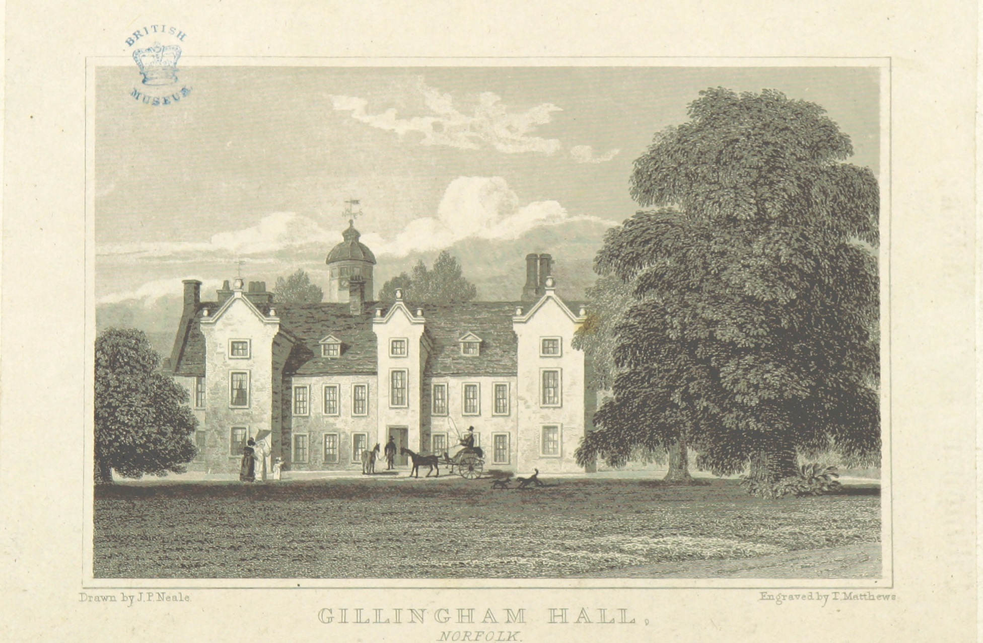
Gillingham Hall

Gillingham Hall is a Jacobean manor house in the village of Gillingham, Norfolk, England. It is a Grade II* Listed Building.The house has 10-bedrooms and...

Haughey Air AgustaWestland AW139 crash

On 13 March 2014, an AgustaWestland AW139 helicopter of Haughey Air crashed shortly after taking off at night in fog from Gillingham, Norfolk, United Kingdom...

Geldeston Meadows

Geldeston Meadows is a 14-hectare (35-acre) biological Site of Special Scientific Interest near Geldeston in Norfolk. It is part of the Broadland Ramsar...

Nearby Amenities

Located within 500m of 52.473038,1.5500927
Barrier: bollard
Bicycle: yes
Foot: yes
Material: wood
Maxwidth: 1
Lat/Long: 52.4752703/1.5475024
Bus Stop
Bus Shelter, adj
Bus: yes
Naptan AtcoCode: 2900G061
Naptan Bearing: S
Naptan BusStopType: CUS
Naptan CommonName: Bus Shelter
Naptan Indicator: adj
Naptan Locality: Gillingham
Naptan NaptanCode: nfoatajt
Naptan Street: The Street
Naptan Verified: no
Public Transport: platform
Source: naptan_import
Lat/Long: 52.4703462/1.5502861
Bus Stop
Emma's Hair Studio, opp
Bus: yes
Naptan AtcoCode: 2900G066
Naptan Bearing: E
Naptan CommonName: Emma's Hair Studio
Naptan Indicator: opp
Naptan Locality: Gillingham
Naptan NaptanCode: nfoatamd
Naptan Street: The Street
Naptan Verified: no
Public Transport: platform
Source: naptan_import
Lat/Long: 52.4703406/1.5489748
Bus Stop
Emma's Hair Studio, adj
Bus: yes
Naptan AtcoCode: 2900G067
Naptan Bearing: W
Naptan CommonName: Emma's Hair Studio
Naptan Indicator: adj
Naptan Locality: Gillingham
Naptan NaptanCode: nfoatamg
Naptan Street: The Street
Naptan Verified: no
Public Transport: platform
Source: naptan_import
Lat/Long: 52.4701514/1.5494431
Bus Stop
village hall, opp
Bus: yes
Naptan AtcoCode: 2900G068
Naptan Bearing: N
Naptan CommonName: village hall
Naptan Indicator: opp
Naptan Landmark: village hall
Naptan Locality: Gillingham
Naptan NaptanCode: nfoatamj
Naptan Street: Loddon Road
Naptan Verified: no
Public Transport: platform
Source: naptan_import
Lat/Long: 52.4705677/1.5500977
Bus Stop
Hamment Way, opp
Bus: yes
Naptan AtcoCode: 2900G069
Naptan Bearing: E
Naptan CommonName: Hamment Way
Naptan Indicator: opp
Naptan Landmark: Hamment Way
Naptan Locality: Gillingham
Naptan NaptanCode: nfogmwmt
Naptan ShortCommonName: Hamment Way
Naptan Street: The Street
Naptan Verified: no
Public Transport: platform
Source: naptan_import
Lat/Long: 52.4704599/1.5470991
Crossing
Bicycle: dismount
Crossing: unmarked
Crossing Island: no
Lat/Long: 52.4768634/1.5484787
Bicycle: dismount
Lat/Long: 52.4765818/1.548483
Crossing
Crossing: unmarked
Lat/Long: 52.4706089/1.5471532
Noexit: yes
Lat/Long: 52.4708136/1.5487851
Noexit: yes
Lat/Long: 52.4708776/1.5488985
Crossing
Crossing: unmarked
Lat/Long: 52.4709274/1.5480075
Noexit: yes
Lat/Long: 52.4714841/1.5486711
Crossing
Crossing: unmarked
Lat/Long: 52.4715812/1.5480035
Noexit: yes
Lat/Long: 52.4716253/1.5486743
Noexit: yes
Lat/Long: 52.4722351/1.5484561
Noexit: yes
Lat/Long: 52.4723709/1.5484029
Give Way
Direction: forward
Lat/Long: 52.4751094/1.5467049
Give Way
Direction: forward
Lat/Long: 52.4755375/1.5468298
Bench
Backrest: yes
Material: plastic
Seats: 4
Lat/Long: 52.4765909/1.5483811
Bicycle: dismount
Lat/Long: 52.4769116/1.5484054
Gillingham
Place: village
Postal Code: NR34
Wikidata: Q2119963
Wikipedia: en:Gillingham, Norfolk
Lat/Long: 52.470771/1.5465927
Bicycle: dismount
Lat/Long: 52.4767066/1.5484869
Barrier: bollard
Bicycle: yes
Foot: yes
Lat/Long: 52.4755361/1.5486284
Entrance: main
Lat/Long: 52.4735485/1.5495636
Power: pole
Lat/Long: 52.4743168/1.5454727
Power: pole
Lat/Long: 52.4737629/1.5453211
Power: pole
Lat/Long: 52.4735117/1.5429032
Power: pole
Lat/Long: 52.4715185/1.5437185
Power: pole
Lat/Long: 52.4725609/1.5436247
Power: pole
Lat/Long: 52.4727537/1.5436703
Power: pole
Lat/Long: 52.4732291/1.5444374
Power: pole
Lat/Long: 52.4691485/1.551387
Power: pole
Lat/Long: 52.4690856/1.547007
Entrance: yes
Lat/Long: 52.4749628/1.5495035
Entrance: yes
Lat/Long: 52.4750267/1.5494746
Entrance: yes
Lat/Long: 52.4749952/1.5494115
Entrance: yes
Lat/Long: 52.4735247/1.5497781
Entrance: yes
Lat/Long: 52.473497/1.5496181
Gillingham
Colour: white
Inscription: This sign was unveiled on 2nd May 1994 by Mrs M.A.M.Bramley in memory of Mr E.A. Bramley (“BRAM”) / Parish Councillor between 1953-1989
Man Made: village_sign
Material: metal
Lat/Long: 52.4716558/1.5500982
Give Way
Lat/Long: 52.4701027/1.5502592
Power: pole
Lat/Long: 52.4716713/1.5513012
Location Transition: yes
Power: pole
Transformer: distribution
Lat/Long: 52.4705275/1.5511966
Material: wood
Power: pole
Lat/Long: 52.4710912/1.5512529
Give Way
Lat/Long: 52.4741171/1.5481415
Give Way
Lat/Long: 52.4770934/1.5487633
Speed Display
Direction: 135
Lat/Long: 52.469068/1.5510122
Traffic Calming: island
Lat/Long: 52.4718342/1.5503117
Leisure: playground
Lat/Long: 52.4689745/1.5496261
Leisure: playground
Lat/Long: 52.4693821/1.549606
Defibrillator
Defibrillator Location: On exterior wall of village hall, facing car park.
Emergency: defibrillator
Ref GB The Circuit: 8BFFAF9D-8A6C-4D8F-8601-AD400102200F
Lat/Long: 52.4705086/1.5503622
Fast Food
KFC
Alt Name: Kentucky Fried Chicken
Brand: KFC
Brand Wikidata: Q524757
Cuisine: chicken
Takeaway: yes
Website: https://www.kfc.co.uk/kfc-near-me/gillingham-norwich-road
Lat/Long: 52.4743393/1.5457007
Cafe
Starbucks
Brand: Starbucks
Brand Wikidata: Q37158
Cuisine: coffee_shop
Official Name: Starbucks Coffee
Takeaway: yes
Website: https://www.starbucks.com/store-locator/store/1025334/gillingham-norwich-road-dt-norwich-road-gillingham-eng-nr-34-0-ed-gb
Lat/Long: 52.474171/1.546315
Give Way
Direction: forward
Lat/Long: 52.4754842/1.546099
Give Way
Lat/Long: 52.47193/1.5464217
Give Way
Lat/Long: 52.4709091/1.5472176
Give Way
Lat/Long: 52.4705287/1.5471357
Give Way
Lat/Long: 52.4702363/1.548798
Give Way
Direction: backward
Lat/Long: 52.4718649/1.5503911
The data included in this document is from www.openstreetmap.org. The data is made available under ODbL.

Have you been to The Shrubbery?

Leave your review of The Shrubbery below (or comments, questions and feedback).