Alder Carr
Wood, Forest in Suffolk East Suffolk
England
Alder Carr
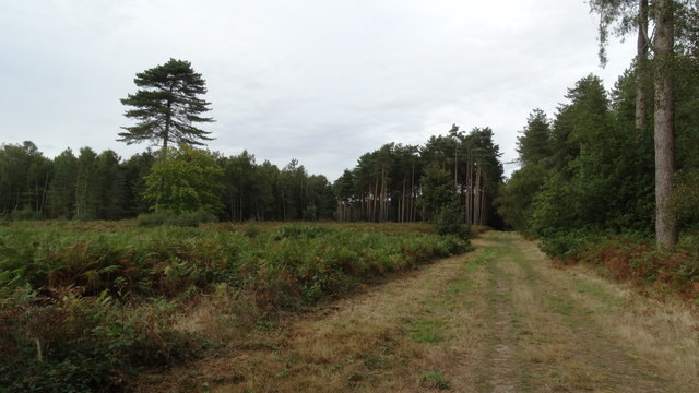
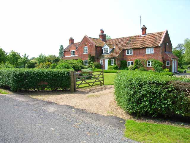
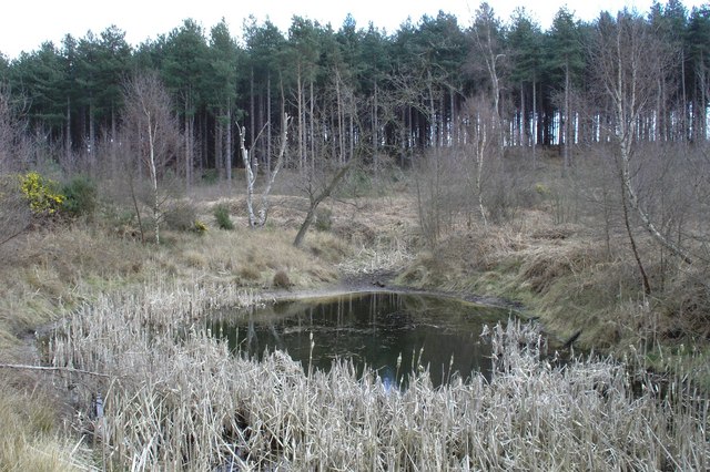
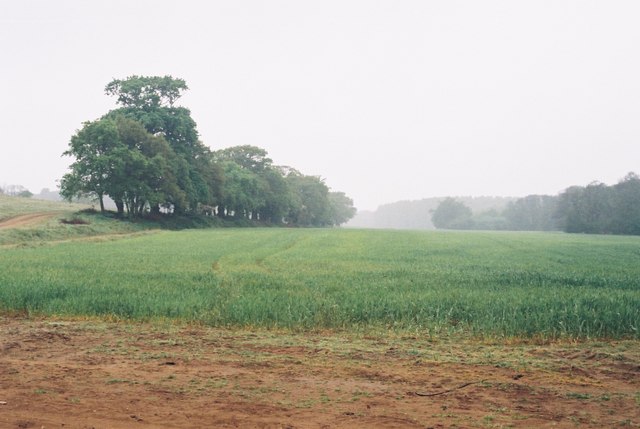
Alder Carr, Suffolk (Wood, Forest) is a picturesque and vibrant woodland located in the county of Suffolk, England. This beautiful forest spans over an area of approximately 50 acres and is a haven for nature enthusiasts and wildlife lovers alike.
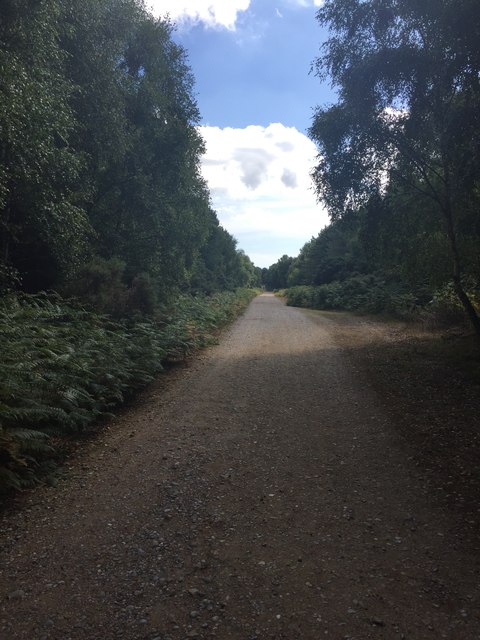
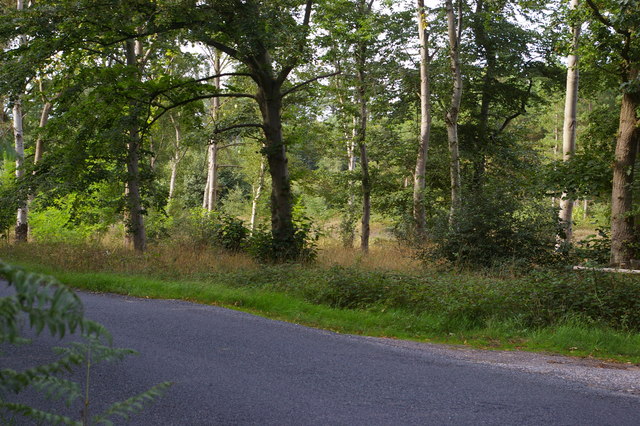
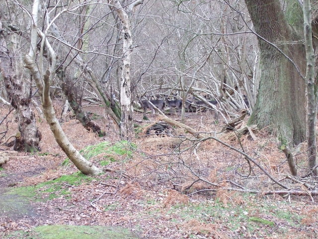
The woodland is named after the Alder tree, which is prevalent throughout the area and adds to the charm and serenity of the surroundings. The forest is characterized by its lush greenery, with tall trees forming a dense canopy that allows only a few rays of sunlight to filter through. This creates a tranquil and peaceful atmosphere for visitors to enjoy.
Alder Carr is home to a diverse range of flora and fauna. The forest is teeming with various species of birds, making it a popular spot for birdwatching. Visitors may spot woodpeckers, owls, and other woodland birds in their natural habitat. The forest floor is adorned with a carpet of wildflowers, adding bursts of color to the landscape.
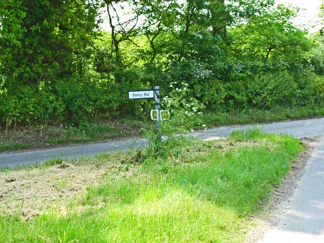
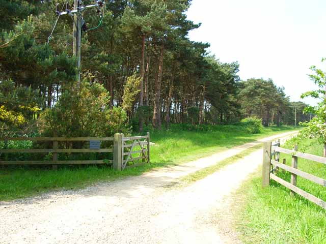
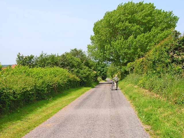
The woodland offers a network of well-maintained walking trails, allowing visitors to explore the area at their own pace. These trails wind through the forest, offering glimpses of babbling brooks, hidden ponds, and secluded clearings. The paths are suitable for all ages and abilities, making it an ideal destination for families and individuals seeking a peaceful retreat in nature.
Alder Carr is not only a place of natural beauty but also plays an important role in conservation. The forest is carefully managed to preserve its ecological balance and protect its diverse ecosystem. It serves as a valuable habitat for numerous species of plants and animals, contributing to the overall biodiversity of the region.
In conclusion, Alder Carr, Suffolk (Wood, Forest) is a stunning woodland that showcases the natural beauty of Suffolk. With its tranquil atmosphere, diverse wildlife, and well-maintained trails, it is a haven for nature lovers and a must-visit destination for those seeking a peaceful retreat in the heart of nature.
If you have any feedback on the listing, please let us know in the comments section below.
Alder Carr Images
Images are sourced within 2km of 52.134998/1.5233174 or Grid Reference TM4154. Thanks to Geograph Open Source API. All images are credited.
Alder Carr is located at Grid Ref: TM4154 (Lat: 52.134998, Lng: 1.5233174)
Administrative County: Suffolk
District: East Suffolk
Police Authority: Suffolk
What 3 Words
///spoke.signs.pounding. Near Aldeburgh, Suffolk
Nearby Locations
Related Wikis

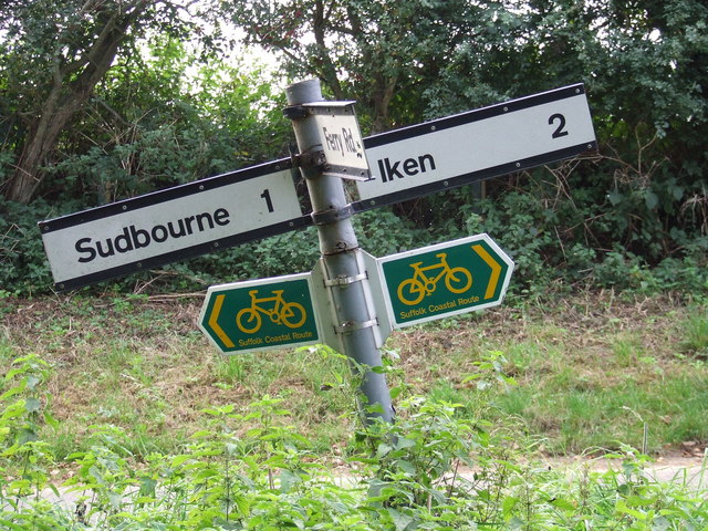
Iken
Iken is a small village and civil parish in the sandlands of the English county of Suffolk, an area formerly of heathland and sheep pasture. It is near...

Sudbourne
Sudbourne is a village and civil parish in Suffolk, England, located approximately 2 miles (3 km) north of Orford. All Saints' Church dates from the 14th...
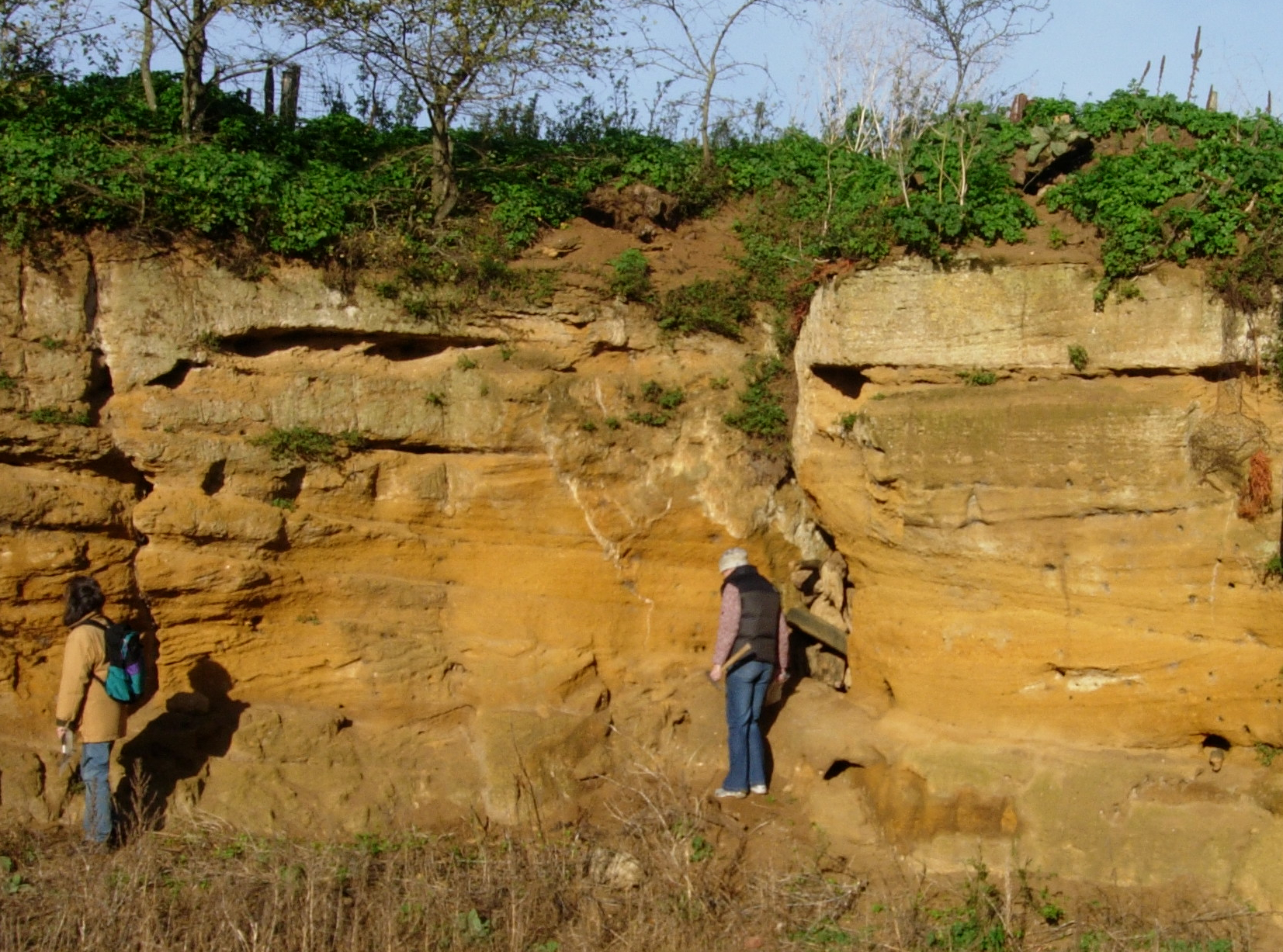
Coralline Crag Formation
The Coralline Crag Formation is a geological formation in England. It is a series of marine deposits found near the North Sea coast of Suffolk and characterised...

Captain's Wood
Captain's Wood is a 62 hectare nature reserve in Sudbourne in Suffolk. It is owned and managed by the Suffolk Wildlife Trust.This site has woodland, rough...
Related Videos

Peaceful English Woodland Circular Trail Walk ,in Late Autumn No Music.
Peaceful English Woodland Circular Trail Walk ,in Late Autumn No Music. 4k Relaxing Late Autumn Woodland Trail Walk in ...
Iken & Tunstall Forest || Firepot Dehydrated Meal Review #Review #Drone
Join us on a near 8 mile circular walk, starting at Iken, going through Tunstall Forest, passing by the famous Snape Maltings ...
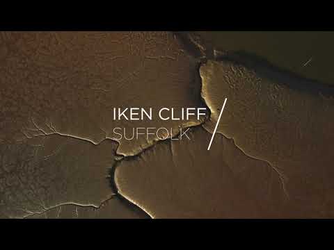
Iken Cliff by Drone
Evening down on the River Alde. Location: Iken Cliff, Suffolk, England. Shot on the DJI Mini 2. #suffolk #drone #4k #dji #djimini2 ...
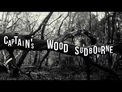
Captain's Wood Sudbourne
Captain's Wood is an piece of Suffolk's ancient woodland history and a wonderfully peaceful place to visit. As such I was ...
Nearby Amenities
Located within 500m of 52.134998,1.5233174Have you been to Alder Carr?
Leave your review of Alder Carr below (or comments, questions and feedback).