Sudbourne Great Wood
Wood, Forest in Suffolk East Suffolk
England
Sudbourne Great Wood
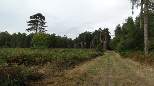
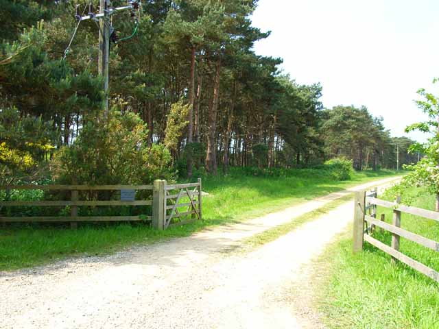
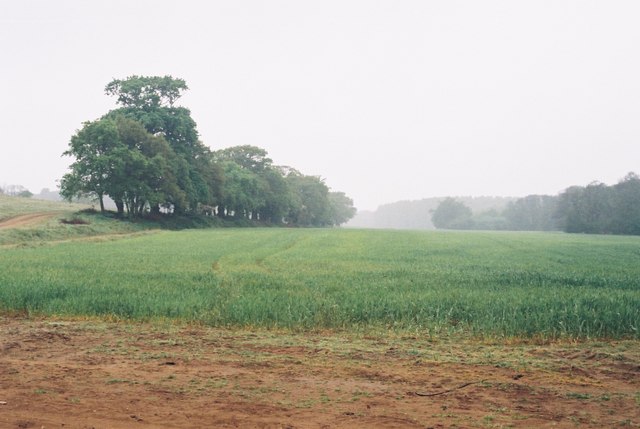
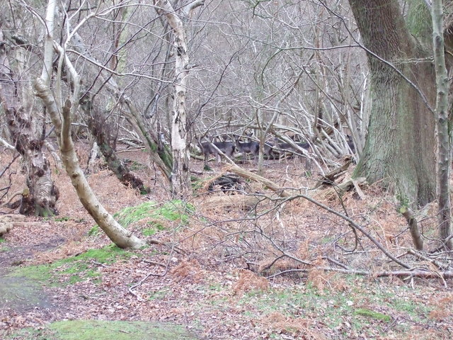
Sudbourne Great Wood is a picturesque woodland located in Suffolk, England. Covering an area of approximately 250 acres, it is considered one of the largest remaining ancient woodlands in the county. The wood is managed by the Suffolk Wildlife Trust and is a designated Site of Special Scientific Interest (SSSI).
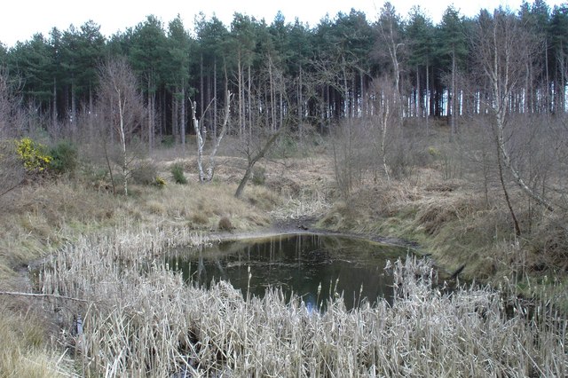
The woodland is predominantly made up of oak and beech trees, with a rich understory of hazel, holly, and hawthorn. These trees provide a diverse habitat for a wide range of flora and fauna, making it an important conservation site. Sudbourne Great Wood is particularly known for its bluebells, which carpet the forest floor in spring, creating a stunning display of vibrant colors.
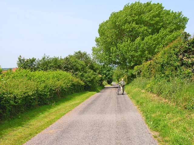
The wood is crisscrossed with a network of well-maintained footpaths, making it a popular destination for walkers and nature enthusiasts. Visitors can explore the woodland trails and enjoy the peaceful atmosphere, surrounded by the sights and sounds of nature. The wood also offers opportunities for birdwatching, with species such as woodpeckers, warblers, and owls frequently spotted.
In addition to its natural beauty, Sudbourne Great Wood has a rich historical significance. It has been mentioned in historical records dating back to the 12th century and was once part of the medieval hunting grounds of Framlingham Castle. Today, the wood stands as a reminder of the region's ancient woodland heritage and serves as an important ecological and recreational resource for the local community and visitors alike.
If you have any feedback on the listing, please let us know in the comments section below.
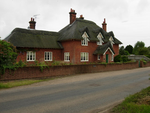
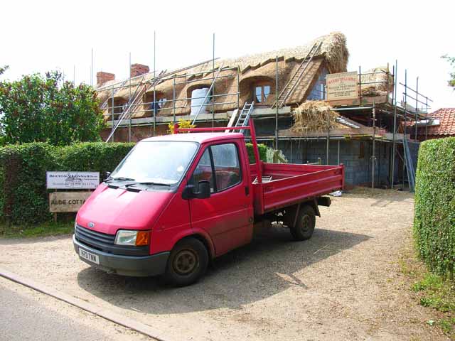
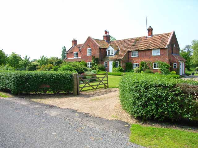
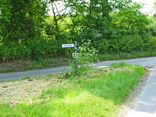
Sudbourne Great Wood Images
Images are sourced within 2km of 52.133656/1.5272894 or Grid Reference TM4154. Thanks to Geograph Open Source API. All images are credited.


Sudbourne Great Wood is located at Grid Ref: TM4154 (Lat: 52.133656, Lng: 1.5272894)
Administrative County: Suffolk
District: East Suffolk
Police Authority: Suffolk
What 3 Words
///worthy.poppy.rival. Near Aldeburgh, Suffolk
Nearby Locations
Related Wikis

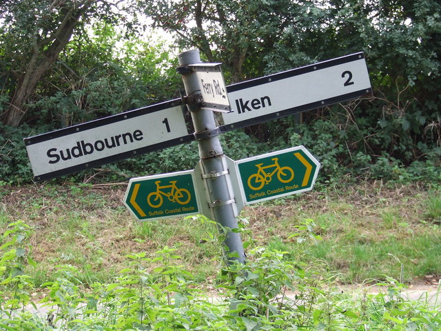
Iken
Iken is a small village and civil parish in the sandlands of the English county of Suffolk, an area formerly of heathland and sheep pasture. It is near...

Sudbourne
Sudbourne is a village and civil parish in Suffolk, England, located approximately 2 miles (3 km) north of Orford. All Saints' Church dates from the 14th...
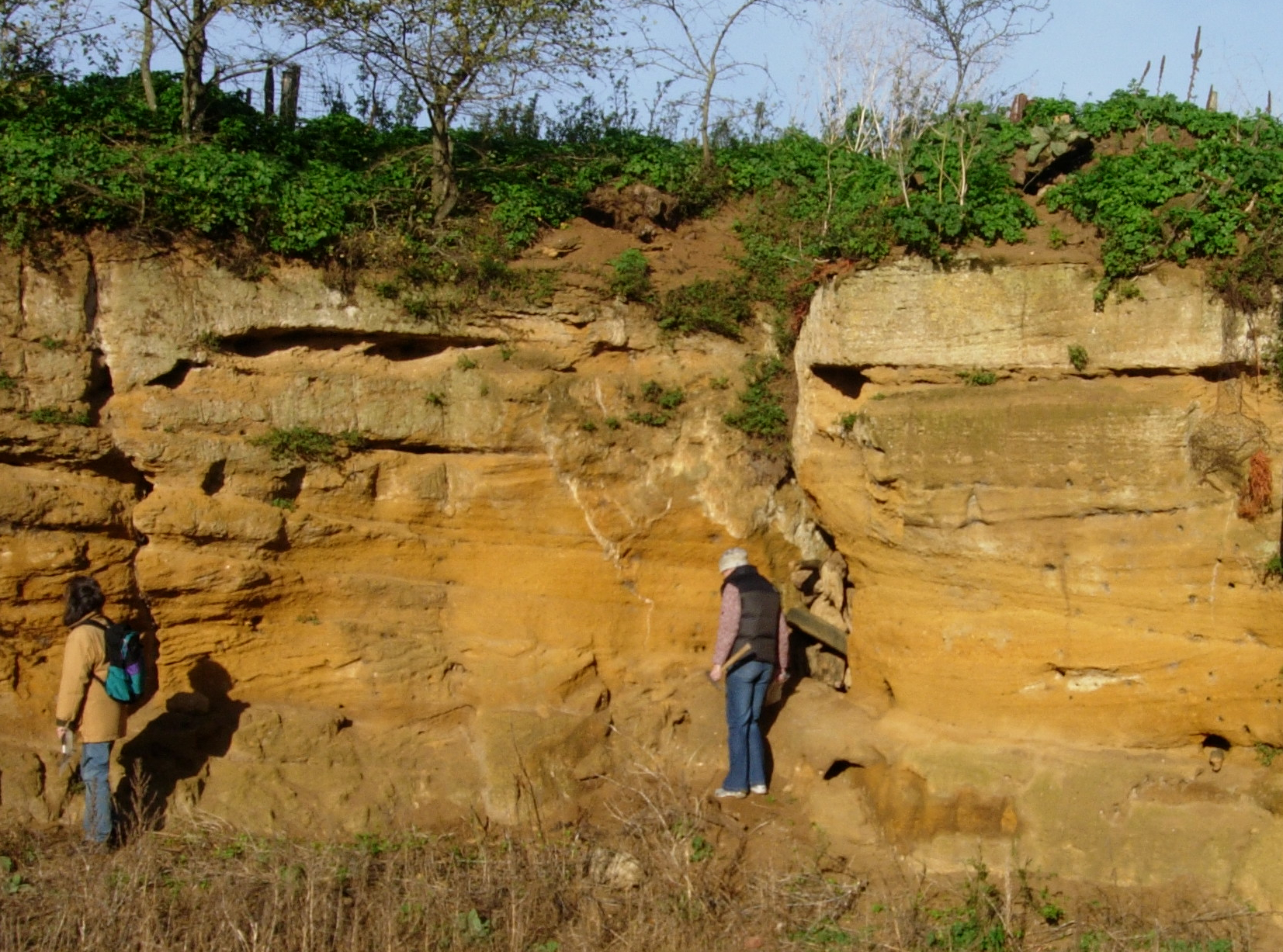
Coralline Crag Formation
The Coralline Crag Formation is a geological formation in England. It is a series of marine deposits found near the North Sea coast of Suffolk and characterised...

Captain's Wood
Captain's Wood is a 62 hectare nature reserve in Sudbourne in Suffolk. It is owned and managed by the Suffolk Wildlife Trust.This site has woodland, rough...
Nearby Amenities
Located within 500m of 52.133656,1.5272894Have you been to Sudbourne Great Wood?
Leave your review of Sudbourne Great Wood below (or comments, questions and feedback).