Beech Wood
Wood, Forest in Norfolk South Norfolk
England
Beech Wood

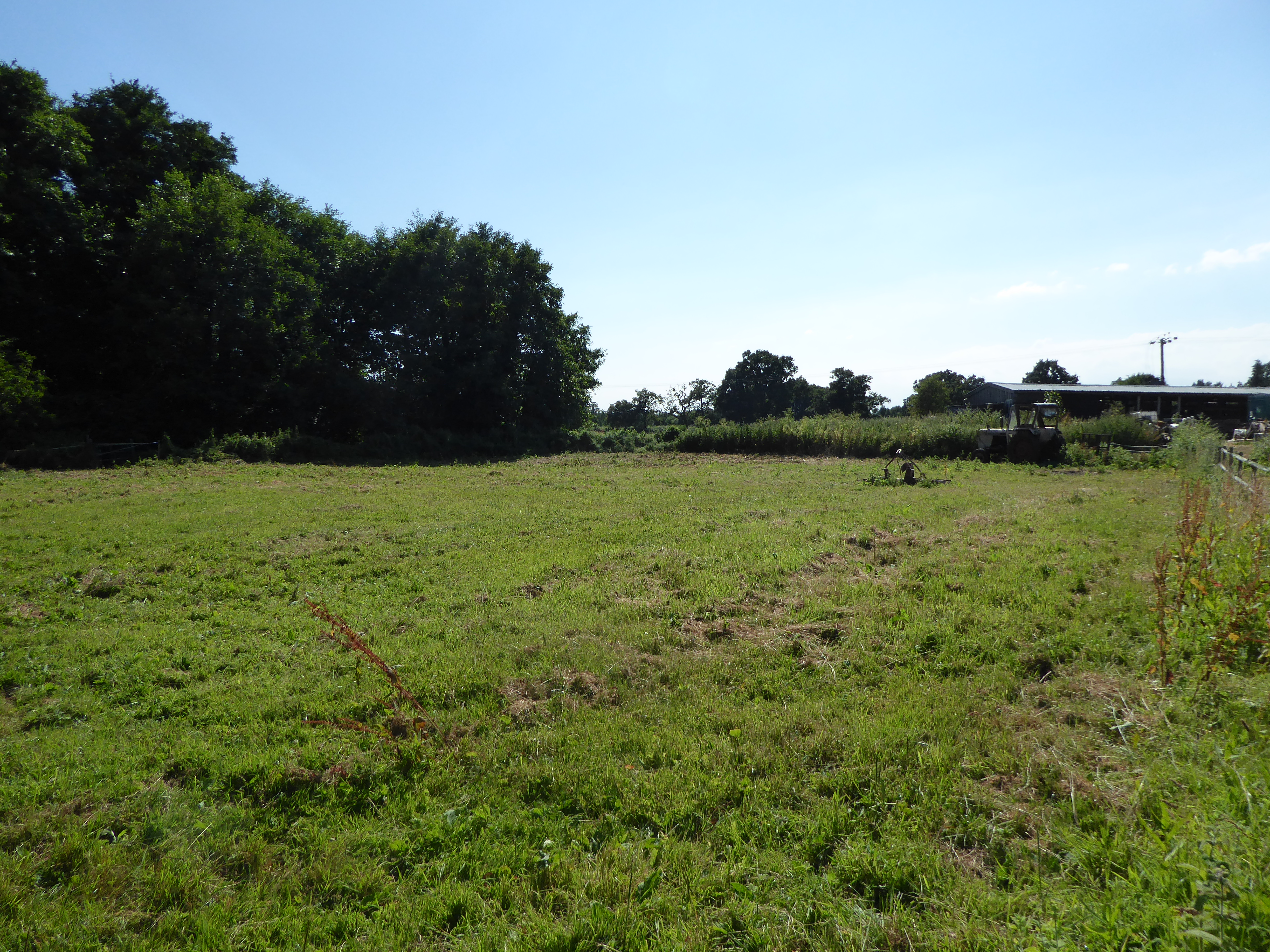
Beech Wood, located in Norfolk, England, is a picturesque forest boasting an impressive collection of beech trees. Spanning over a vast expanse, the wood covers an area of approximately 100 acres. The woodland is a notable feature of the region, attracting nature enthusiasts, hikers, and birdwatchers alike.
The wood is characterized by the dense growth of beech trees, which dominate the landscape with their towering canopies. These majestic trees create a serene and tranquil environment, offering a refuge for various wildlife species. The forest floor is carpeted with a rich undergrowth of ferns, bluebells, and other wildflowers, adding to the wood's natural charm.
Visitors to Beech Wood can explore a network of well-maintained trails that wind through the forest, providing an opportunity to immerse themselves in nature. These paths offer picturesque views of the surrounding landscape, including glimpses of nearby meadows and farmland.
Birdwatchers will be delighted by the diverse avian population that calls Beech Wood home. Species such as woodpeckers, thrushes, and finches can be spotted flitting among the branches, while owls and other raptors can occasionally be heard or seen soaring above the treetops.
Beech Wood is not only a haven for wildlife but also serves as an important ecosystem for the local environment. The trees provide oxygen, absorb carbon dioxide, and help stabilize the soil, contributing to the overall health of the surrounding ecosystem.
Overall, Beech Wood, Norfolk, is a natural treasure, offering a breathtaking display of beech trees and providing a habitat for wildlife. Its peaceful ambiance and scenic beauty make it a popular destination for nature lovers and those seeking a moment of tranquility amidst the splendor of nature.
If you have any feedback on the listing, please let us know in the comments section below.
Beech Wood Images
Images are sourced within 2km of 52.476437/1.5534157 or Grid Reference TM4192. Thanks to Geograph Open Source API. All images are credited.


Beech Wood is located at Grid Ref: TM4192 (Lat: 52.476437, Lng: 1.5534157)
Administrative County: Norfolk
District: South Norfolk
Police Authority: Norfolk
What 3 Words
///lives.slot.should. Near Beccles, Suffolk
Nearby Locations
Related Wikis
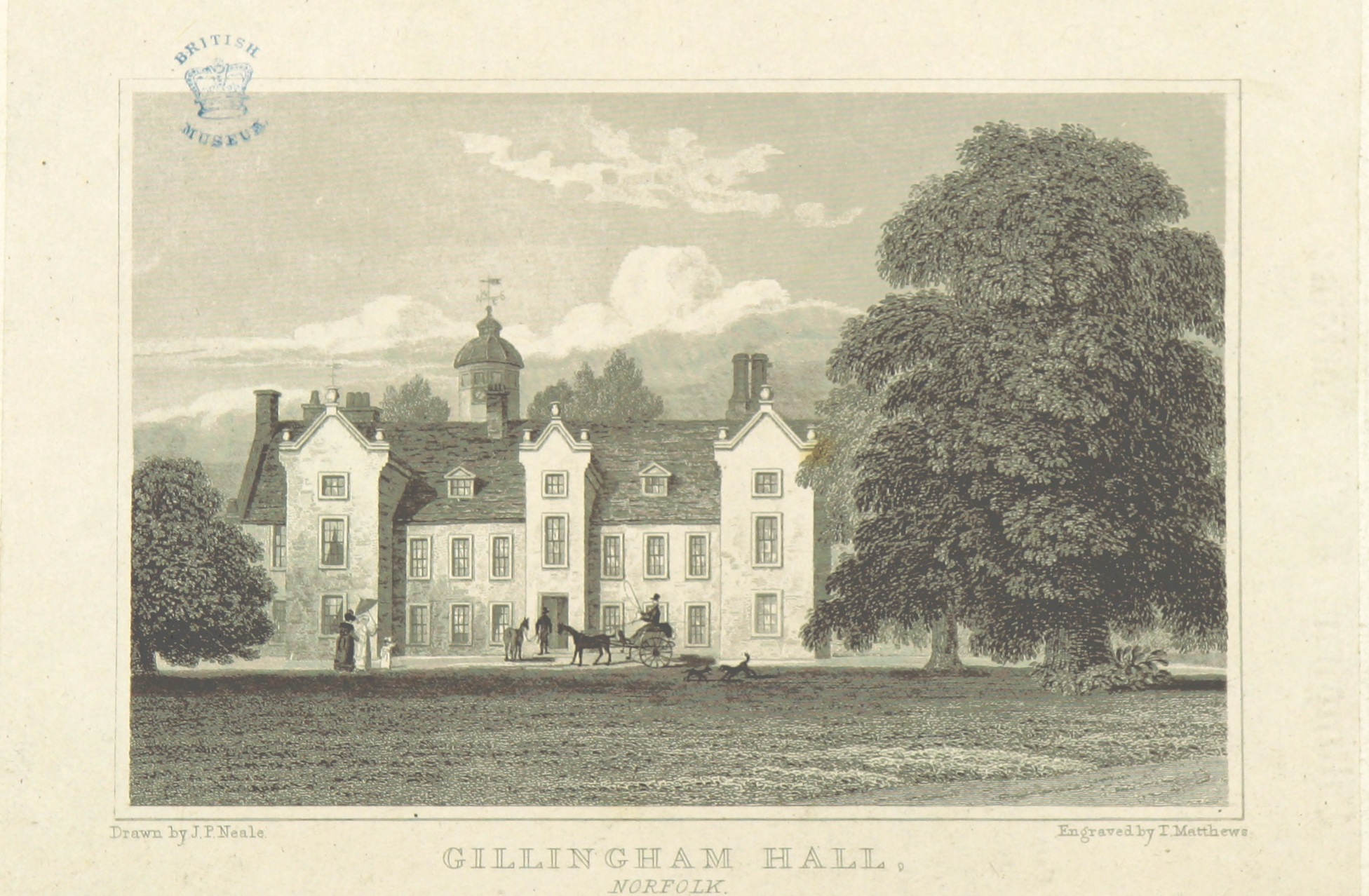
Gillingham Hall
Gillingham Hall is a Jacobean manor house in the village of Gillingham, Norfolk, England. It is a Grade II* Listed Building.The house has 10-bedrooms and...
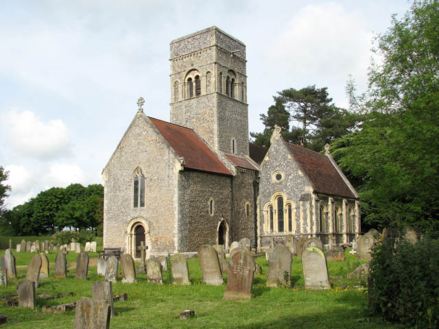
Gillingham, Norfolk
Gillingham ( GHIL-ing-əm) is a small village and civil parish in the English county of Norfolk. The villages is located 1.5 miles (2.4 km) north-west...

Haughey Air AgustaWestland AW139 crash
On 13 March 2014, an AgustaWestland AW139 helicopter of Haughey Air crashed shortly after taking off at night in fog from Gillingham, Norfolk, United Kingdom...

Stanley and Alder Carrs, Aldeby
Stanley and Alder Carrs, Aldeby is a 42.7-hectare (106-acre) biological Site of Special Scientific Interest east of Gillingham in Norfolk. It is part of...
Geldeston Meadows
Geldeston Meadows is a 14-hectare (35-acre) biological Site of Special Scientific Interest near Geldeston in Norfolk. It is part of the Broadland Ramsar...
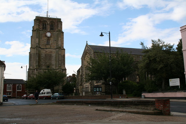
Beccles bell tower
Beccles bell tower is a free-standing Grade I listed edifice associated with the adjacent St. Michael's Church in the market town of Beccles, Suffolk,...

Beccles Lido
Beccles Lido is an open-air pool at Puddingmoor, Beccles, Suffolk, on the banks of the River Waveney. == Description == The lido is 30 x 16 metres with...
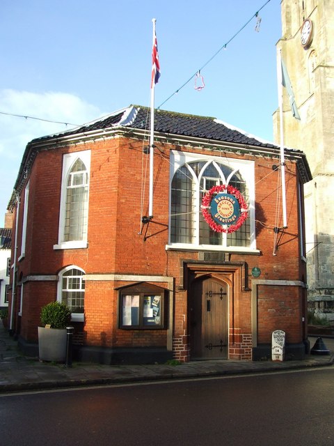
Beccles Town Hall
Beccles Town Hall is a municipal structure in New Market, Beccles, Suffolk, England. The structure, which accommodates the offices and meeting place of...
Nearby Amenities
Located within 500m of 52.476437,1.5534157Have you been to Beech Wood?
Leave your review of Beech Wood below (or comments, questions and feedback).