Dogs Lane Plantation
Wood, Forest in Norfolk South Norfolk
England
Dogs Lane Plantation

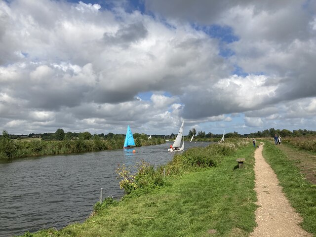
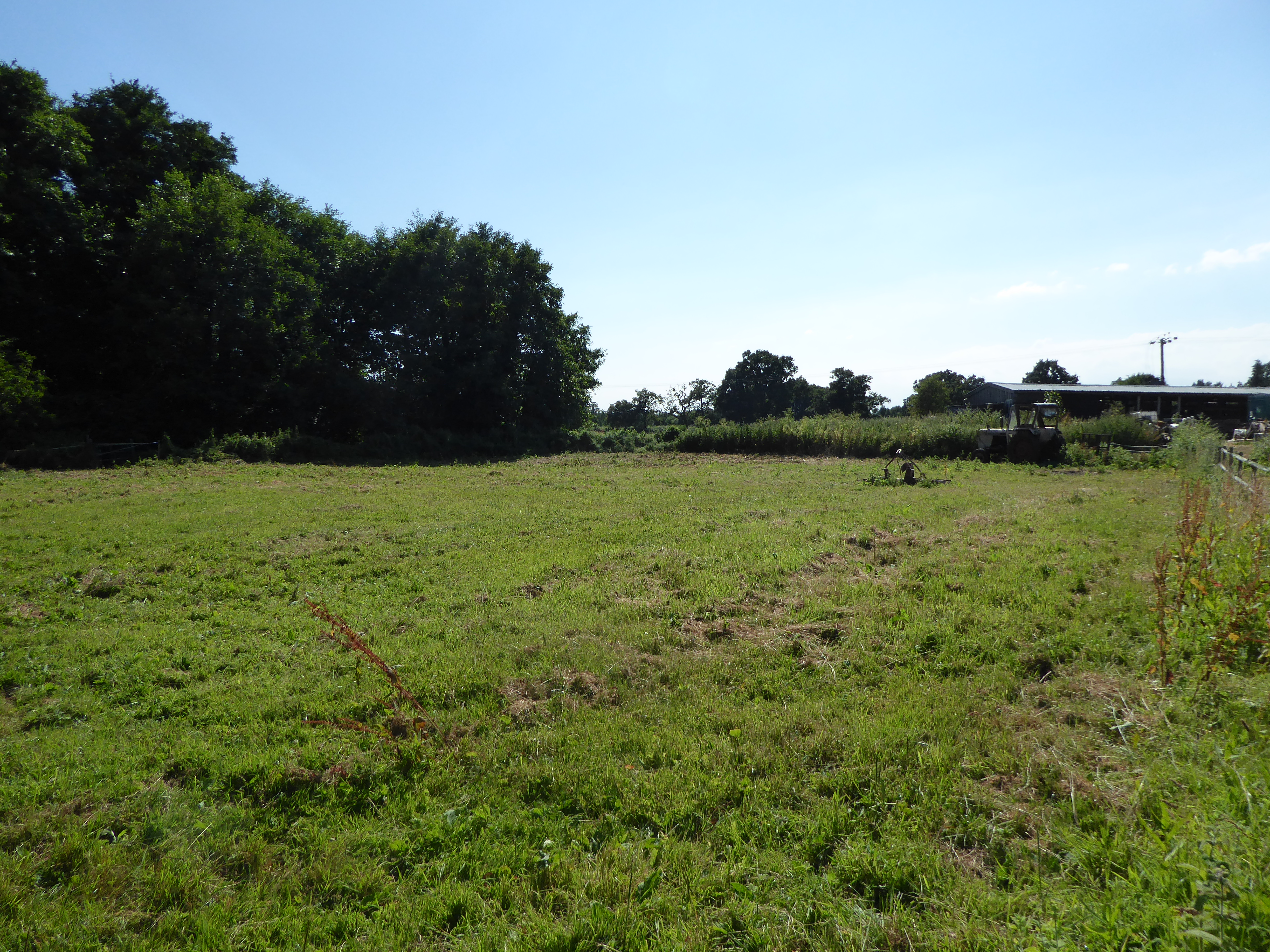
Dogs Lane Plantation is a beautiful woodland area located in Norfolk, England. Spread across a vast expanse, this plantation is a haven for nature enthusiasts and outdoor lovers. The plantation is characterized by its dense forest cover and an array of majestic trees, making it an ideal destination for those looking to immerse themselves in nature.
The woodland is home to a diverse range of flora and fauna, with a variety of tree species such as oak, beech, and birch dominating the landscape. These trees provide a rich habitat for numerous animal species, including birds, small mammals, and insects. It is not uncommon to spot woodpeckers, squirrels, and deer while exploring Dogs Lane Plantation.
The plantation is crisscrossed by several walking trails, allowing visitors to explore the woodland at their own pace. The trails wind through the forest, offering picturesque views and a chance to observe the natural beauty up close. Additionally, Dogs Lane Plantation is a popular spot for birdwatching, with many bird species making it their home or using it as a stopover during migration.
The management of Dogs Lane Plantation is committed to preserving the natural environment and ensuring its sustainability for future generations. Conservation efforts are in place to protect the woodland and its inhabitants, and visitors are encouraged to respect the flora and fauna by adhering to designated paths and refraining from littering.
Overall, Dogs Lane Plantation is a serene and enchanting woodland that offers a peaceful retreat from the hustle and bustle of city life. Whether it's a leisurely stroll, birdwatching, or simply enjoying the tranquility of nature, this plantation provides an ideal setting for anyone seeking solace in the great outdoors.
If you have any feedback on the listing, please let us know in the comments section below.
Dogs Lane Plantation Images
Images are sourced within 2km of 52.479462/1.5560167 or Grid Reference TM4192. Thanks to Geograph Open Source API. All images are credited.


Dogs Lane Plantation is located at Grid Ref: TM4192 (Lat: 52.479462, Lng: 1.5560167)
Administrative County: Norfolk
District: South Norfolk
Police Authority: Norfolk
What 3 Words
///deleting.back.binders. Near Beccles, Suffolk
Nearby Locations
Related Wikis
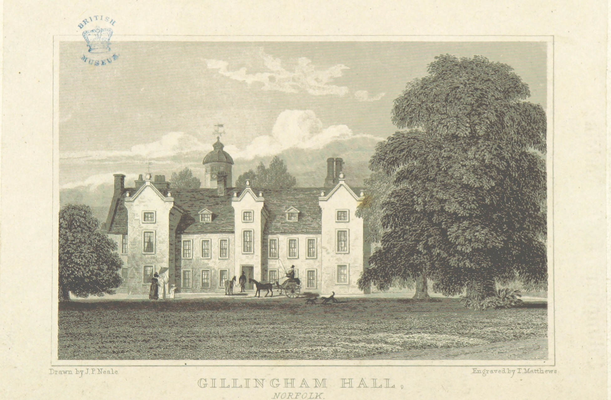
Gillingham Hall
Gillingham Hall is a Jacobean manor house in the village of Gillingham, Norfolk, England. It is a Grade II* Listed Building.The house has 10-bedrooms and...

Haughey Air AgustaWestland AW139 crash
On 13 March 2014, an AgustaWestland AW139 helicopter of Haughey Air crashed shortly after taking off at night in fog from Gillingham, Norfolk, United Kingdom...
Gillingham, Norfolk
Gillingham ( GHIL-ing-əm) is a small village and civil parish in the English county of Norfolk. The villages is located 1.5 miles (2.4 km) north-west...

Stanley and Alder Carrs, Aldeby
Stanley and Alder Carrs, Aldeby is a 42.7-hectare (106-acre) biological Site of Special Scientific Interest east of Gillingham in Norfolk. It is part of...

Toft Monks
Toft Monks is a village and parish in Norfolk, England. It is located on the border of Norfolk and Suffolk about eleven miles southwest of Great Yarmouth...
Geldeston Meadows
Geldeston Meadows is a 14-hectare (35-acre) biological Site of Special Scientific Interest near Geldeston in Norfolk. It is part of the Broadland Ramsar...

Beccles bell tower
Beccles bell tower is a free-standing Grade I listed edifice associated with the adjacent St. Michael's Church in the market town of Beccles, Suffolk,...

Beccles Town Hall
Beccles Town Hall is a municipal structure in New Market, Beccles, Suffolk, England. The structure, which accommodates the offices and meeting place of...
Nearby Amenities
Located within 500m of 52.479462,1.5560167Have you been to Dogs Lane Plantation?
Leave your review of Dogs Lane Plantation below (or comments, questions and feedback).