Church Plantation
Wood, Forest in Norfolk South Norfolk
England
Church Plantation

Church Plantation is a residential neighborhood located in Norfolk, Virginia. Situated in the Wood, Forest area, this community offers a picturesque and tranquil environment for its residents. Known for its lush vegetation and mature trees, Church Plantation provides a serene escape from the hustle and bustle of city life.
The neighborhood is characterized by its well-maintained homes, many of which are single-family houses. These residences typically boast spacious yards, providing ample space for outdoor activities and family gatherings. The architecture in Church Plantation varies, with a mix of traditional and contemporary designs, creating a diverse and visually appealing streetscape.
Residents of Church Plantation enjoy a close-knit community atmosphere, with friendly neighbors and a strong sense of community pride. The area is well-suited for families, as it offers a safe and family-friendly environment. The neighborhood is also home to several churches, reflecting its name and providing residents with various places of worship.
Convenience is another notable aspect of Church Plantation. The neighborhood is located near major roadways, such as Interstate 64, offering easy access to the rest of Norfolk and surrounding areas. Additionally, there are numerous shopping centers, restaurants, and recreational facilities in close proximity, ensuring that residents have all their needs met within a short distance.
Overall, Church Plantation in Norfolk is a desirable residential neighborhood that combines natural beauty, community spirit, and convenient amenities. With its idyllic setting and welcoming atmosphere, it is no wonder that many individuals and families choose to call this neighborhood home.
If you have any feedback on the listing, please let us know in the comments section below.
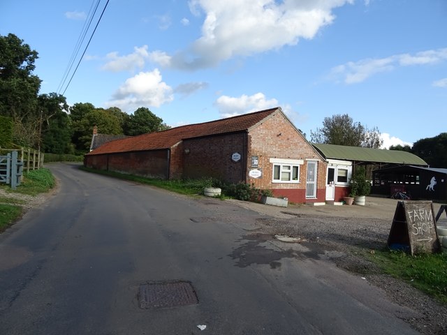
Church Plantation Images
Images are sourced within 2km of 52.474868/1.5481339 or Grid Reference TM4192. Thanks to Geograph Open Source API. All images are credited.


Church Plantation is located at Grid Ref: TM4192 (Lat: 52.474868, Lng: 1.5481339)
Administrative County: Norfolk
District: South Norfolk
Police Authority: Norfolk
What 3 Words
///siblings.conspired.ideal. Near Beccles, Suffolk
Nearby Locations
Related Wikis
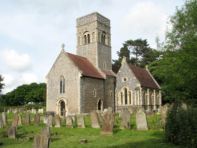
Gillingham, Norfolk
Gillingham ( GHIL-ing-əm) is a small village and civil parish in the English county of Norfolk. The villages is located 1.5 miles (2.4 km) north-west...
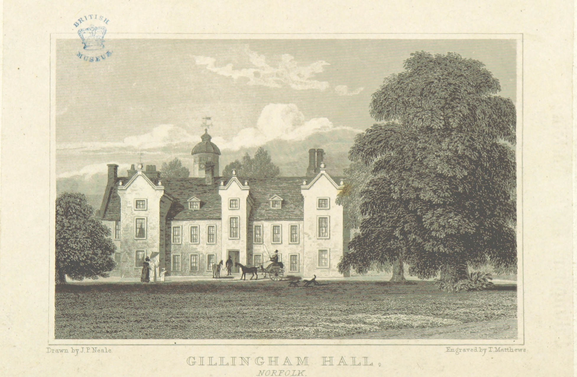
Gillingham Hall
Gillingham Hall is a Jacobean manor house in the village of Gillingham, Norfolk, England. It is a Grade II* Listed Building.The house has 10-bedrooms and...

Haughey Air AgustaWestland AW139 crash
On 13 March 2014, an AgustaWestland AW139 helicopter of Haughey Air crashed shortly after taking off at night in fog from Gillingham, Norfolk, United Kingdom...
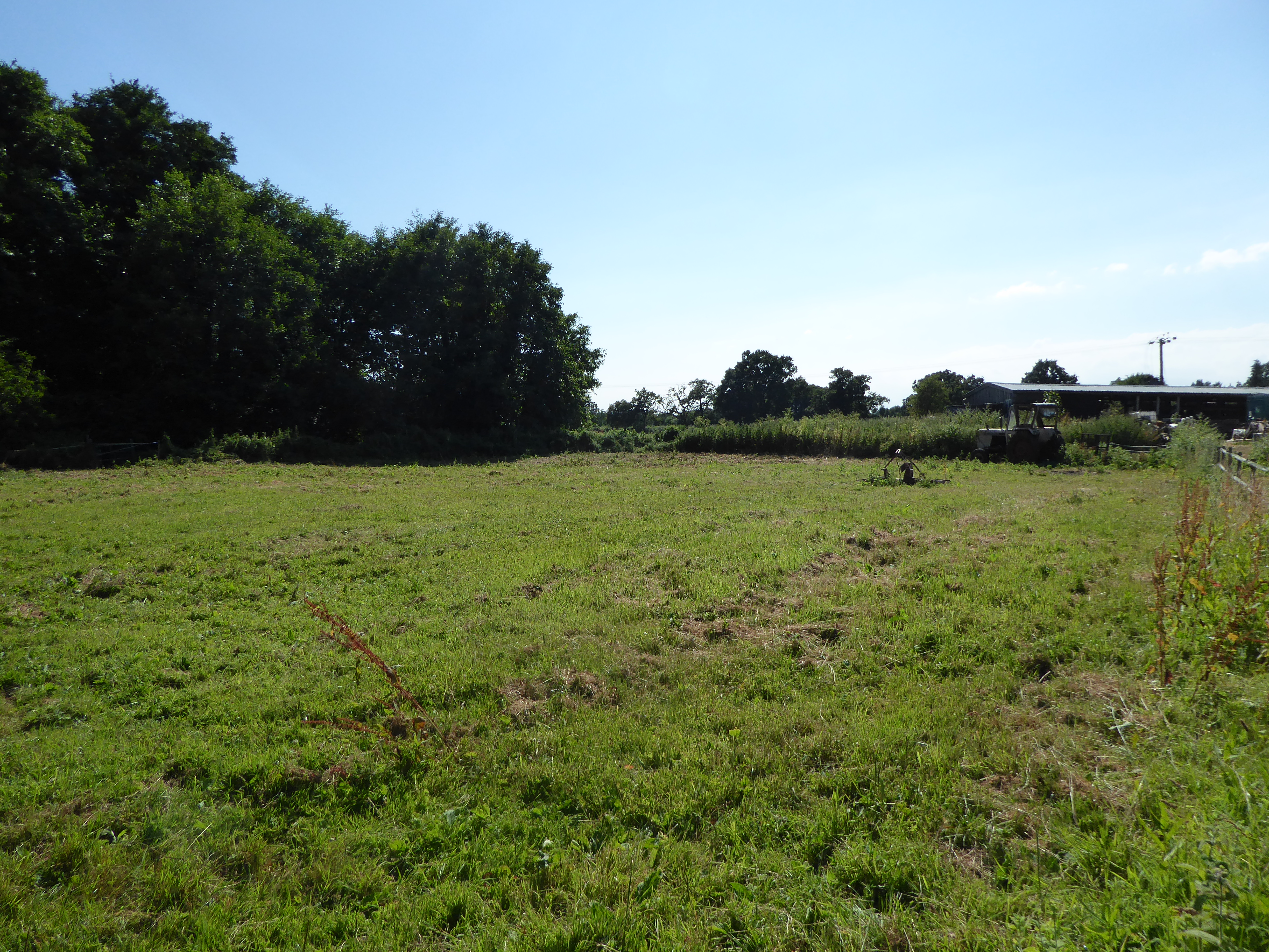
Geldeston Meadows
Geldeston Meadows is a 14-hectare (35-acre) biological Site of Special Scientific Interest near Geldeston in Norfolk. It is part of the Broadland Ramsar...
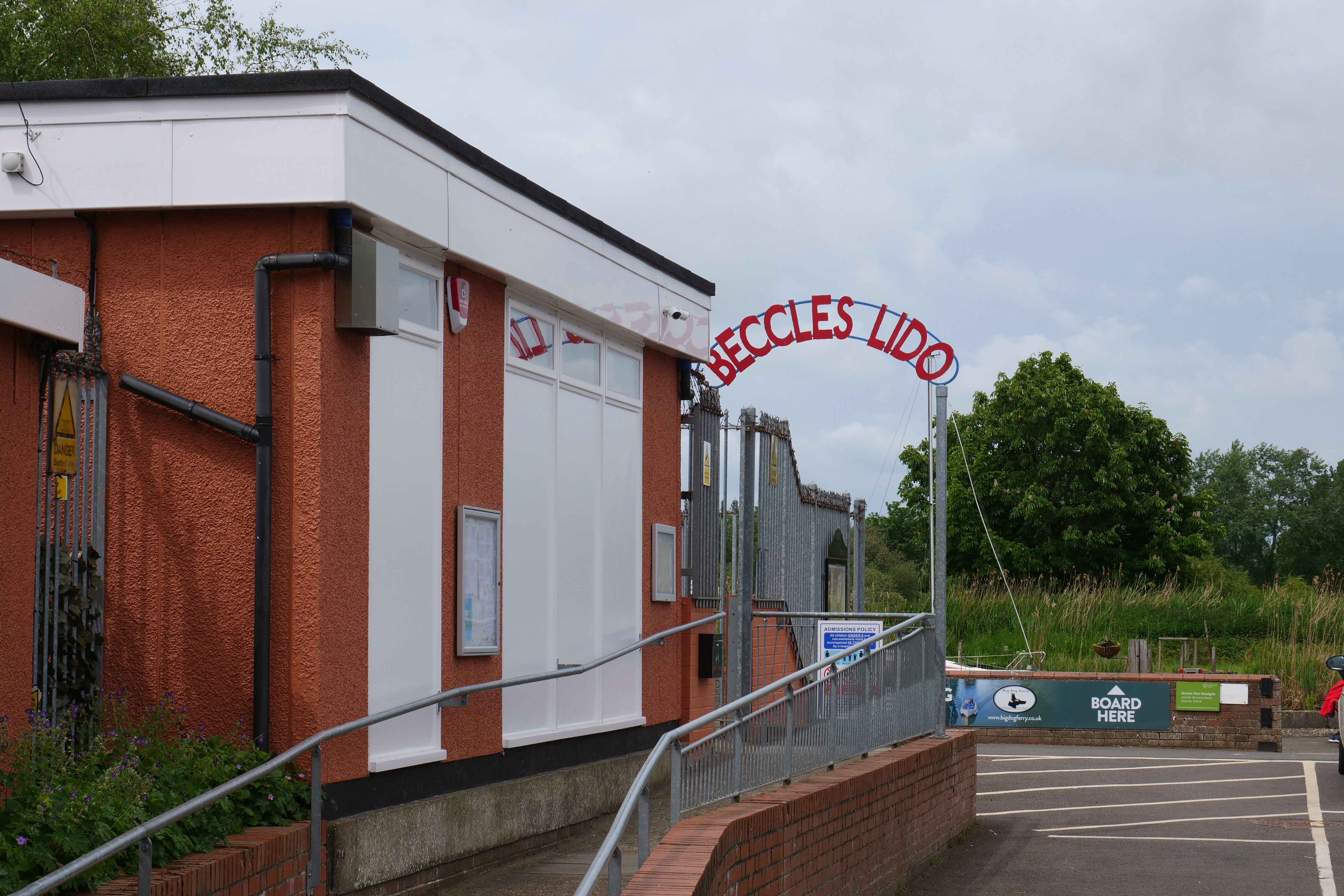
Beccles Lido
Beccles Lido is an open-air pool at Puddingmoor, Beccles, Suffolk, on the banks of the River Waveney. == Description == The lido is 30 x 16 metres with...
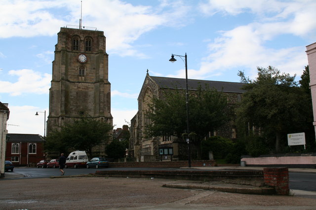
Beccles bell tower
Beccles bell tower is a free-standing Grade I listed edifice associated with the adjacent St. Michael's Church in the market town of Beccles, Suffolk,...
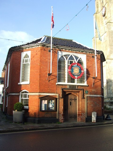
Beccles Town Hall
Beccles Town Hall is a municipal structure in New Market, Beccles, Suffolk, England. The structure, which accommodates the offices and meeting place of...

Beccles
Beccles ( BEK-əlz) is a market town and civil parish in the English county of Suffolk. The town is shown on the milestone as 109 miles (175 km) from London...
Nearby Amenities
Located within 500m of 52.474868,1.5481339Have you been to Church Plantation?
Leave your review of Church Plantation below (or comments, questions and feedback).