Gurney Wood
Wood, Forest in Norfolk Broadland
England
Gurney Wood

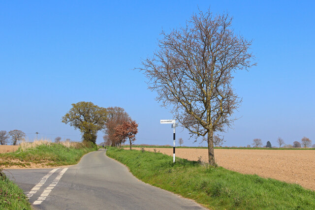
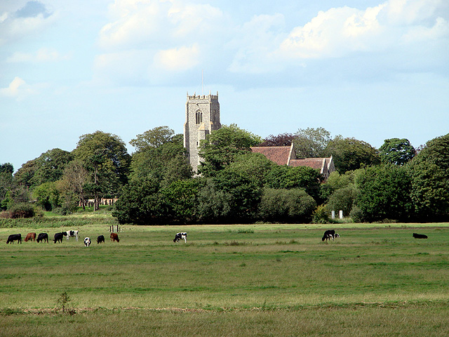
Gurney Wood is a picturesque woodland located in Norfolk, England. Spread over an area of approximately 100 acres, it is a popular destination for nature enthusiasts and hikers alike. The wood is part of the larger Weavers’ Way, a long-distance footpath that winds through the Norfolk countryside.
The wood is predominantly made up of native broadleaf trees, including oak, ash, and beech, creating a stunning canopy overhead. The forest floor is covered in a carpet of lush vegetation, with ferns, bluebells, and wild garlic adding pops of color throughout the year. This rich diversity of plant life provides a habitat for a variety of wildlife, including birds such as woodpeckers, thrushes, and warblers.
Gurney Wood is crisscrossed by a network of well-maintained footpaths, allowing visitors to explore its beauty at their own pace. The paths wind through the trees, revealing hidden clearings and secluded spots perfect for a picnic or a moment of quiet reflection. The wood also features a small stream that meanders through its heart, adding a tranquil touch to the overall ambiance.
For those interested in history, Gurney Wood holds significance as it was once part of a larger estate owned by the Gurney family. The wood has been carefully managed over the years to preserve its natural beauty while providing a sustainable habitat for plants and animals. It is a haven for those seeking a peaceful escape from the hustle and bustle of everyday life, offering a serene and rejuvenating experience in the heart of Norfolk.
If you have any feedback on the listing, please let us know in the comments section below.
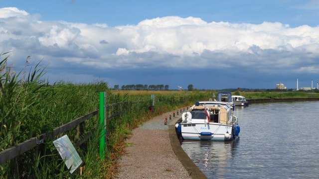
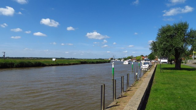
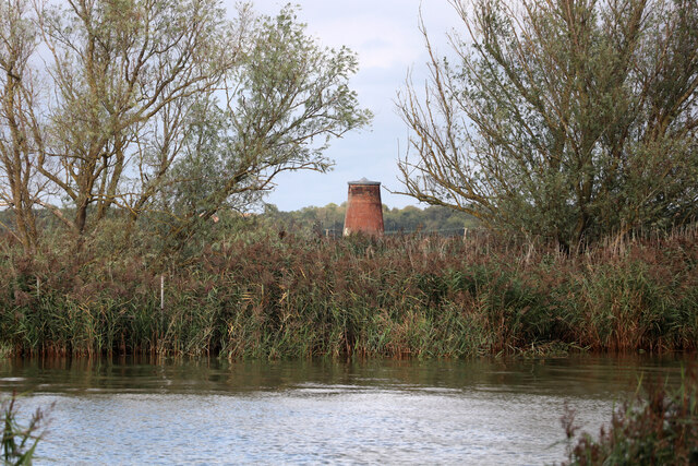
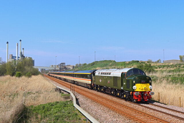
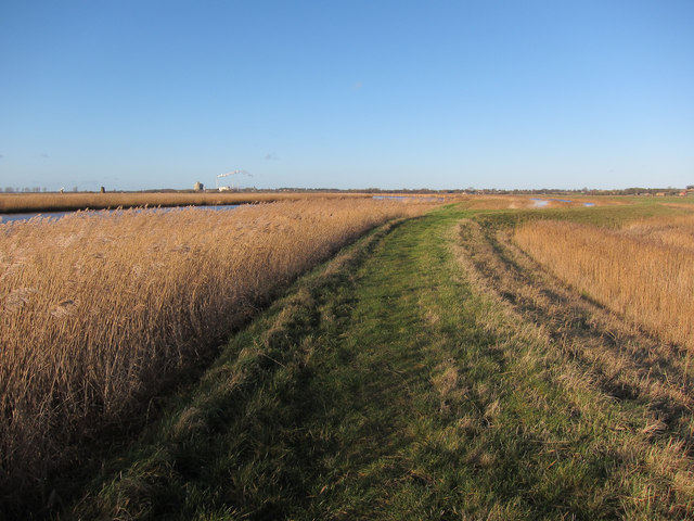
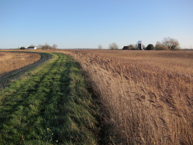
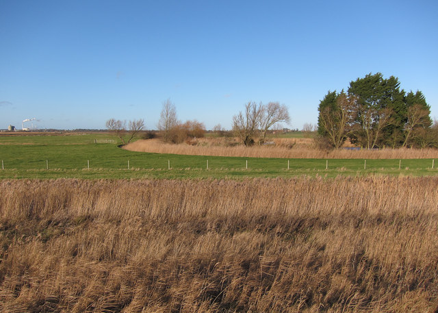
Gurney Wood Images
Images are sourced within 2km of 52.566195/1.5569102 or Grid Reference TG4102. Thanks to Geograph Open Source API. All images are credited.


Gurney Wood is located at Grid Ref: TG4102 (Lat: 52.566195, Lng: 1.5569102)
Administrative County: Norfolk
District: Broadland
Police Authority: Norfolk
What 3 Words
///infuses.spit.perfectly. Near Reedham, Norfolk
Nearby Locations
Related Wikis

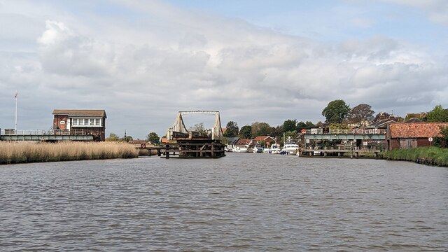
Reedham railway station (Norfolk)
Reedham railway station is on the Wherry Lines in the East of England, serving the village of Reedham, Norfolk. It is 12 miles 13 chains (19.6 km) down...
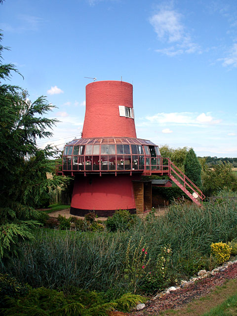
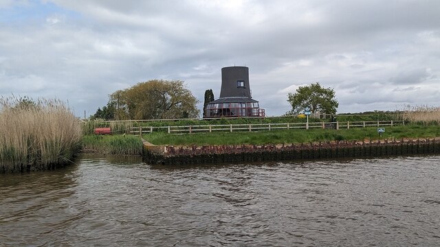
Reedham Ferry Drainage Mill
The Reedham Ferry Drainage Mill, also known as The Red Mill is a former drainage windmill found on the River Yare on The Broads in Norfolk. It is now a...
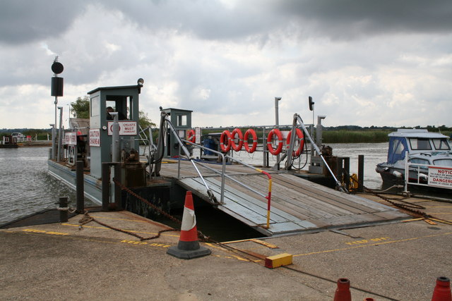
Reedham Ferry
Reedham Ferry is a vehicular chain ferry across the River Yare in the English county of Norfolk, in the Broads. The ferry crosses the river near the village...

Reedham, Norfolk
Reedham is a village and civil parish in the English county of Norfolk and within The Broads. It is on the north bank of the River Yare, some 12 miles...
Nearby Amenities
Located within 500m of 52.566195,1.5569102Have you been to Gurney Wood?
Leave your review of Gurney Wood below (or comments, questions and feedback).