Nelson's Plantation
Wood, Forest in Norfolk South Norfolk
England
Nelson's Plantation
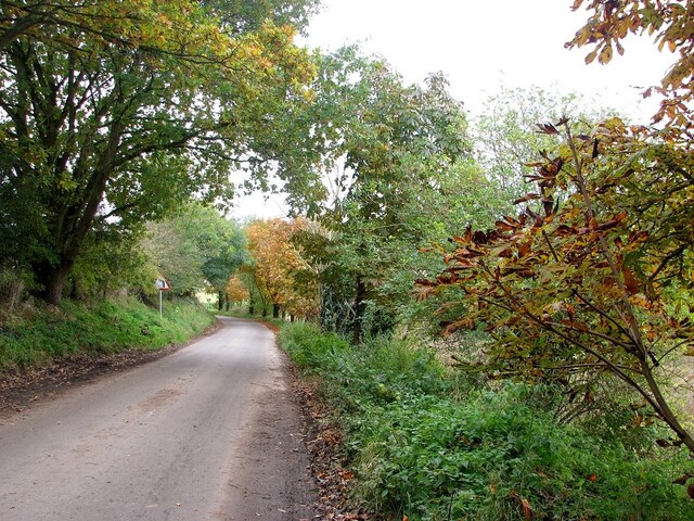
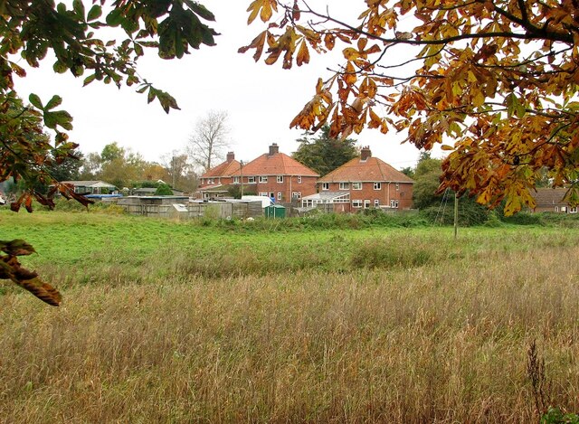
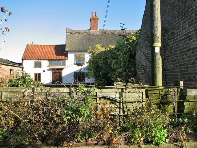
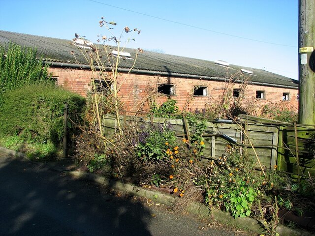
Nelson's Plantation, located in Norfolk, is a sprawling wood and forest area that covers a significant portion of the region. Spanning over a vast expanse, this plantation is a nature lover's paradise, offering a unique blend of tranquility and natural beauty.
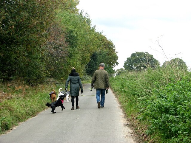
The plantation is known for its diverse assortment of plant life, including towering oak trees, vibrant wildflowers, and dense underbrush. This variety of vegetation attracts a wide array of wildlife, making it a popular spot for birdwatchers and animal enthusiasts. Visitors may catch a glimpse of deer, foxes, rabbits, and various species of birds that call this plantation their home.
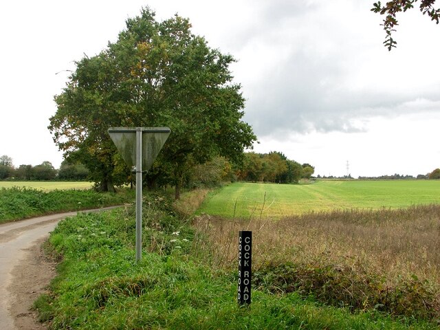
Nelson's Plantation offers numerous trails and pathways, allowing visitors to explore the vast woodland at their own pace. These paths wind through the plantation, offering breathtaking views of the surrounding landscape. Nature enthusiasts can enjoy leisurely walks, engage in photography, or simply bask in the serenity of the surroundings.
In addition to its natural beauty, Nelson's Plantation also holds historical significance. The name "Nelson's" is derived from Lord Horatio Nelson, a renowned British naval officer who was born in Norfolk. The plantation is said to have been a favorite retreat for Lord Nelson during his childhood, adding a touch of historical charm to this already captivating destination.
Overall, Nelson's Plantation in Norfolk is a haven for those seeking solace in nature. With its diverse flora and fauna, picturesque trails, and historical significance, it offers an enchanting experience for visitors of all ages.
If you have any feedback on the listing, please let us know in the comments section below.
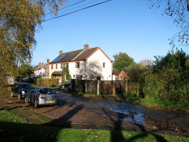
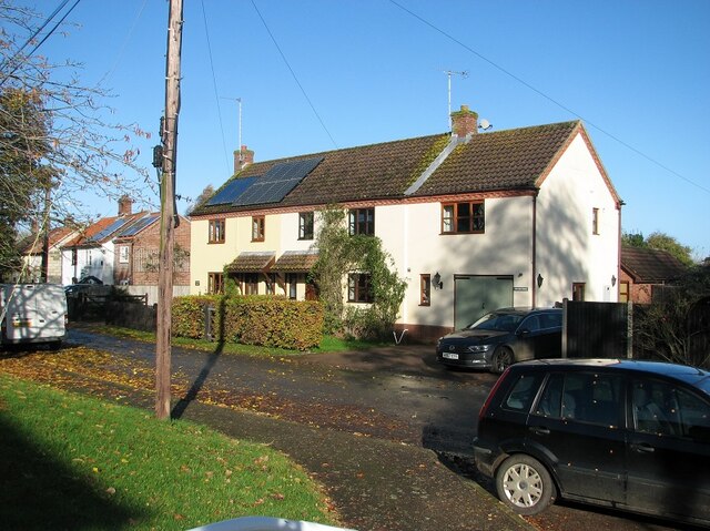
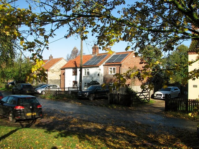
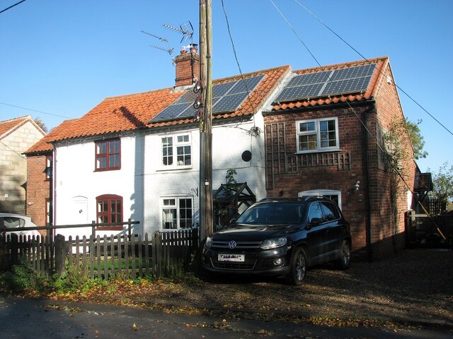
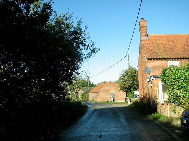
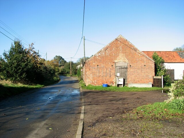
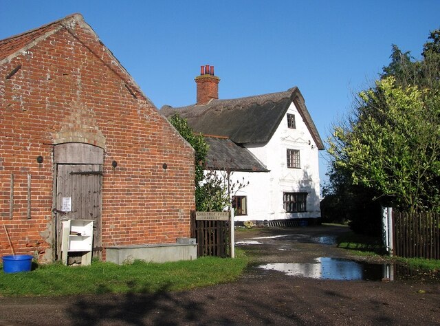
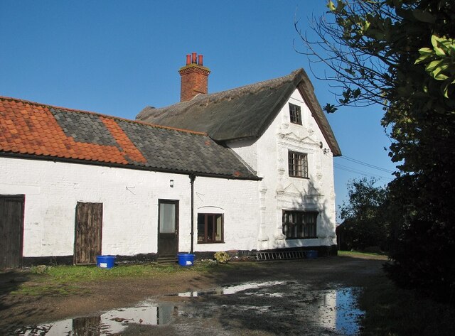
Nelson's Plantation Images
Images are sourced within 2km of 52.548574/1.4777139 or Grid Reference TG3500. Thanks to Geograph Open Source API. All images are credited.
Nelson's Plantation is located at Grid Ref: TG3500 (Lat: 52.548574, Lng: 1.4777139)
Administrative County: Norfolk
District: South Norfolk
Police Authority: Norfolk
What 3 Words
///cabbage.toys.customers. Near Loddon, Norfolk
Nearby Locations
Related Wikis

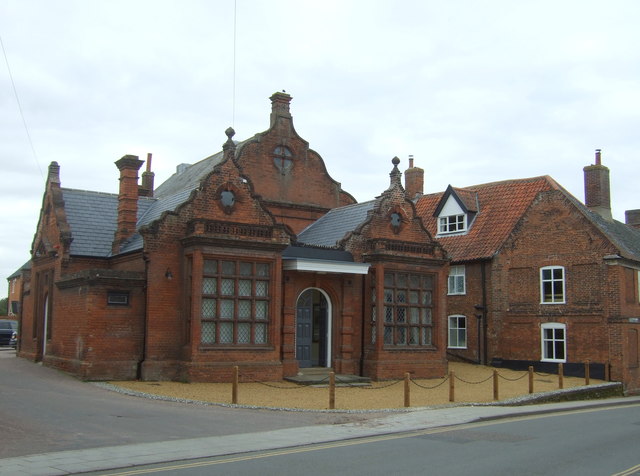
Langley Hall
Langley Hall is a red-brick building in the Palladian style, formerly a country house but now a private school, located near Loddon, Norfolk, England....

Langley School, Loddon
Langley School is an HMC independent co educational day, weekly, flexi and full boarding school situated near the market town of Loddon in South Norfolk...
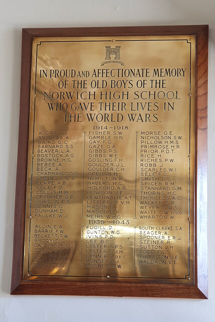
Norwich High School for Boys
Norwich High School for Boys was an independent school in Norwich, England. Founded in 1910, it became the Langley School shortly after World War II....

Chedgrave
Chedgrave is a village and civil parish in English county of Norfolk. Chedgrave is separated from nearby Loddon by the River Chet. == History == Chedgrave...

A146 road
The A146 is an A road that connects Norwich in Norfolk and Lowestoft in Suffolk, two of East Anglia's largest population centres. It is around 27 miles...
Old Town Hall, Loddon
The Old Town Hall is a former events venue in Bridge Street, Loddon, Norfolk, England. The structure, which is currently occupied for commercial use, is...
Langley with Hardley
Langley with Hardley is a parish in the county of Norfolk, England, about a mile east of Loddon. It covers an area of 15.09 km2 (5.83 sq mi) and had a...
Loddon, Norfolk
Loddon is a town and civil parish in Norfolk, England, about 12 miles (19 km) south-east of Norwich. The town lies on the River Chet, a tributary of the...
Nearby Amenities
Located within 500m of 52.548574,1.4777139Have you been to Nelson's Plantation?
Leave your review of Nelson's Plantation below (or comments, questions and feedback).