Cherry Plantation
Wood, Forest in Norfolk South Norfolk
England
Cherry Plantation
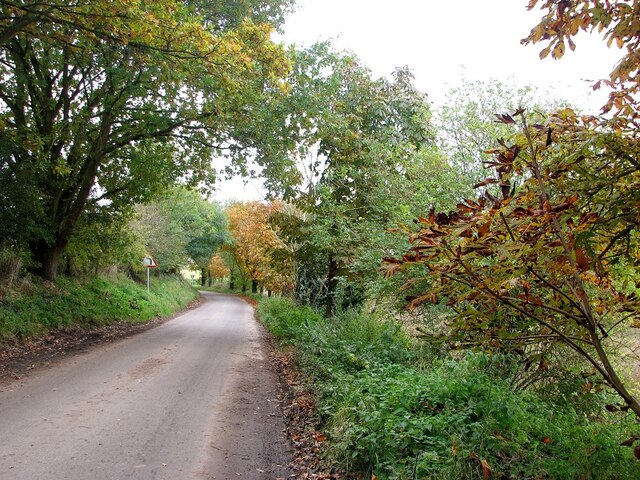
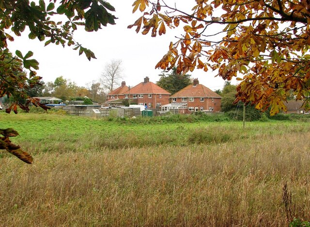
Cherry Plantation, located in Norfolk, is an expansive wood and forest area that is renowned for its beautiful cherry trees. Spanning over vast acres of land, this plantation is a haven for nature lovers and offers a serene and picturesque environment.
The plantation is home to a variety of cherry tree species, which bloom in vibrant colors during the spring season. These stunning cherry blossoms create a breathtaking sight that attracts visitors from far and wide. The plantation is carefully maintained, ensuring that the trees remain healthy and vibrant year after year.
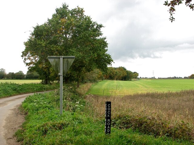
Aside from the cherry trees, Cherry Plantation boasts a diverse range of flora and fauna. The forest is teeming with a rich variety of plant species, including oaks, maples, and pines. The foliage provides a lush and verdant backdrop that enhances the natural beauty of the area.
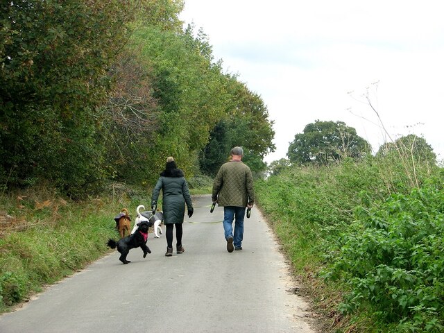
The forest also serves as a habitat for numerous animal species, including deer, rabbits, and a variety of bird species. Wildlife enthusiasts can enjoy watching and photographing these creatures in their natural habitat.
Cherry Plantation offers visitors a chance to immerse themselves in nature through various activities. Walking trails wind through the woods, allowing visitors to explore the plantation's beauty at their own pace. Picnic areas are also available, providing a perfect spot for families and friends to relax and enjoy a meal surrounded by nature.
Overall, Cherry Plantation in Norfolk is an enchanting destination that showcases the splendor of cherry trees and offers a peaceful retreat for those seeking a connection with nature.
If you have any feedback on the listing, please let us know in the comments section below.
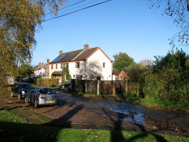
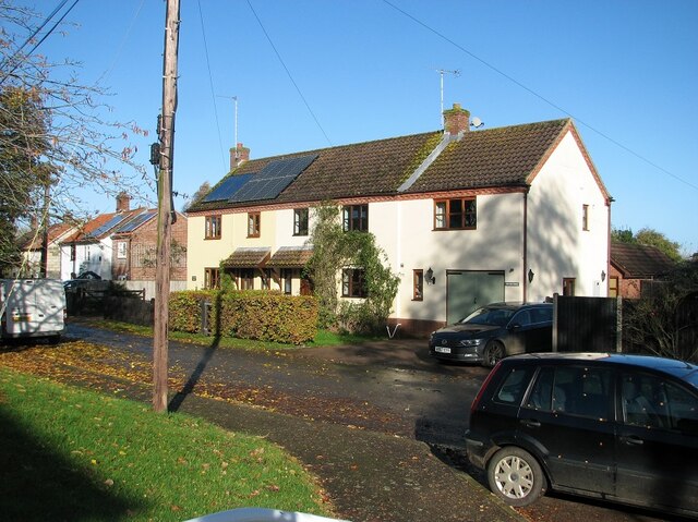
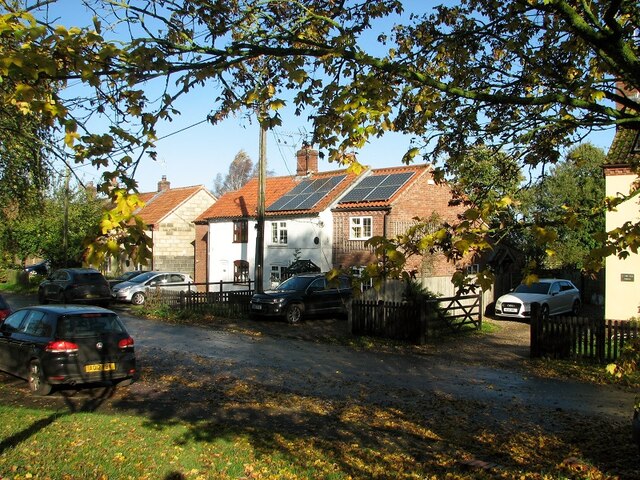
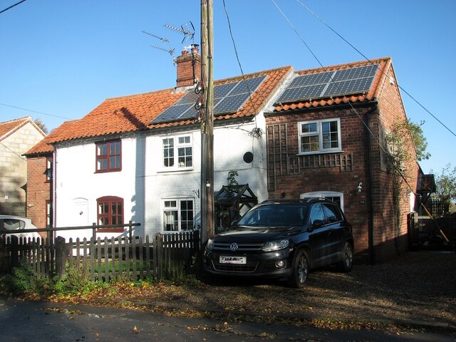
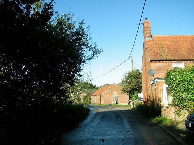
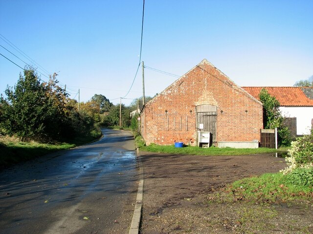
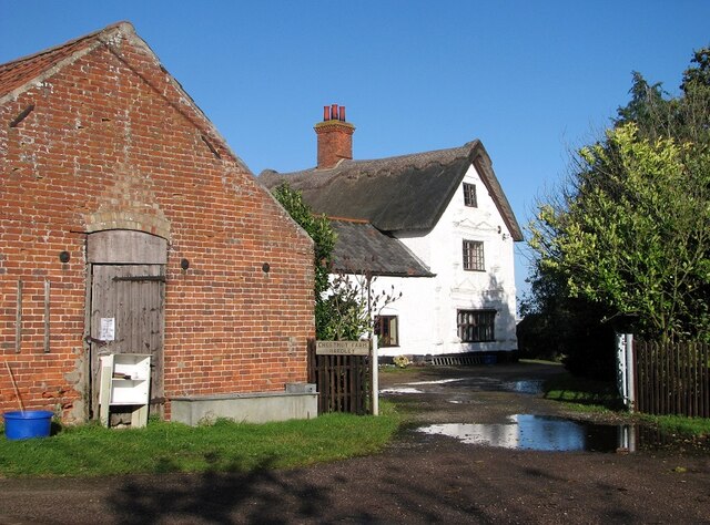
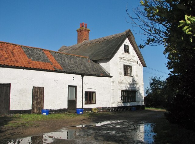
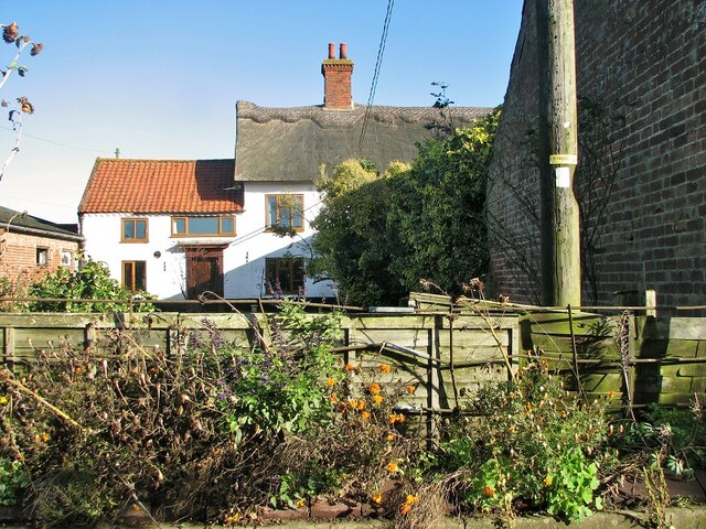
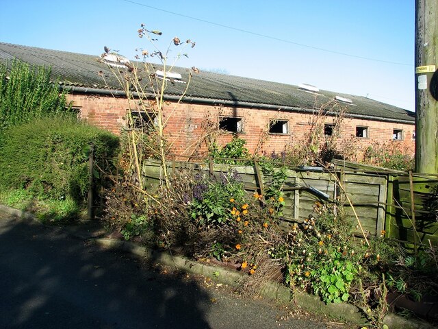
Cherry Plantation Images
Images are sourced within 2km of 52.548881/1.4743005 or Grid Reference TG3500. Thanks to Geograph Open Source API. All images are credited.
Cherry Plantation is located at Grid Ref: TG3500 (Lat: 52.548881, Lng: 1.4743005)
Administrative County: Norfolk
District: South Norfolk
Police Authority: Norfolk
What 3 Words
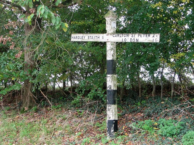
///bandaged.division.staples. Near Loddon, Norfolk
Nearby Locations
Related Wikis

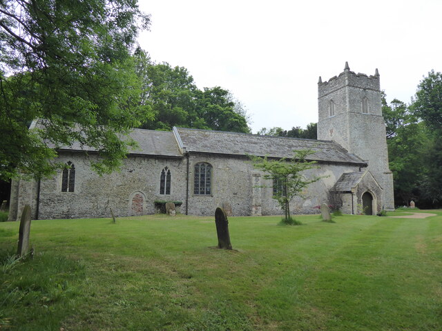
Langley Hall
Langley Hall is a red-brick building in the Palladian style, formerly a country house but now a private school, located near Loddon, Norfolk, England....

Langley School, Loddon
Langley School is an HMC independent co educational day, weekly, flexi and full boarding school situated near the market town of Loddon in South Norfolk...
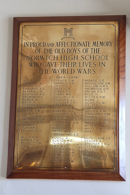
Norwich High School for Boys
Norwich High School for Boys was an independent school in Norwich, England. Founded in 1910, it became the Langley School shortly after World War II....

A146 road
The A146 is an A road that connects Norwich in Norfolk and Lowestoft in Suffolk, two of East Anglia's largest population centres. It is around 27 miles...
Nearby Amenities
Located within 500m of 52.548881,1.4743005Have you been to Cherry Plantation?
Leave your review of Cherry Plantation below (or comments, questions and feedback).