Chicken Plantation
Wood, Forest in Norfolk South Norfolk
England
Chicken Plantation
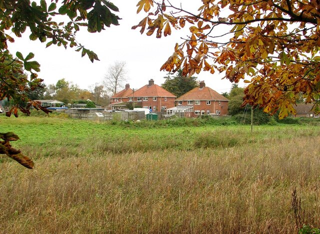
Chicken Plantation in Norfolk is a picturesque woodland located in the heart of the county, renowned for its natural beauty and abundant wildlife. Covering an area of approximately 500 acres, the plantation is predominantly composed of dense woodlands and enchanting forest, offering a serene and tranquil escape from the bustling city life.
The woodland is home to a diverse range of flora and fauna, with towering oak and beech trees dominating the landscape. The forest floor is carpeted with a variety of wildflowers, providing a burst of colors throughout the year. Visitors can also spot native wildlife such as deer, foxes, and a wide array of bird species, making it a popular destination for nature enthusiasts and birdwatchers.
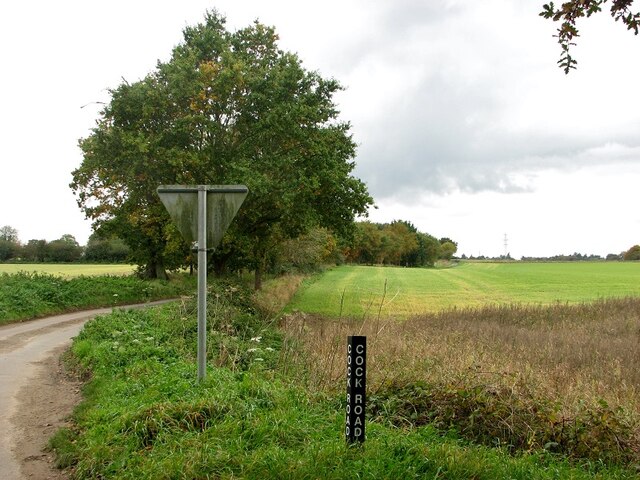
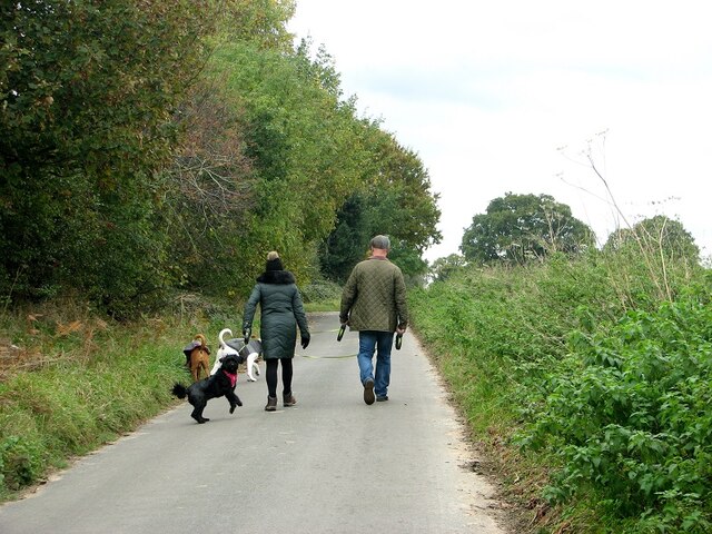
Chicken Plantation offers numerous recreational activities for visitors to enjoy. There are well-maintained walking trails that wind through the woods, allowing visitors to explore the plantation's natural beauty at their own pace. The trails are suitable for all ages and levels of fitness, making it an ideal destination for families and outdoor enthusiasts.
The woodland also boasts several picnic areas, where visitors can relax and enjoy a picnic lunch surrounded by the sights and sounds of nature. Additionally, there are designated areas for camping and barbecues, providing opportunities for overnight stays and outdoor gatherings.
Overall, Chicken Plantation in Norfolk is a cherished natural haven, offering a peaceful retreat for individuals seeking solace in nature's embrace. Its stunning woodlands, diverse wildlife, and recreational activities make it a must-visit destination for nature lovers and outdoor enthusiasts alike.
If you have any feedback on the listing, please let us know in the comments section below.
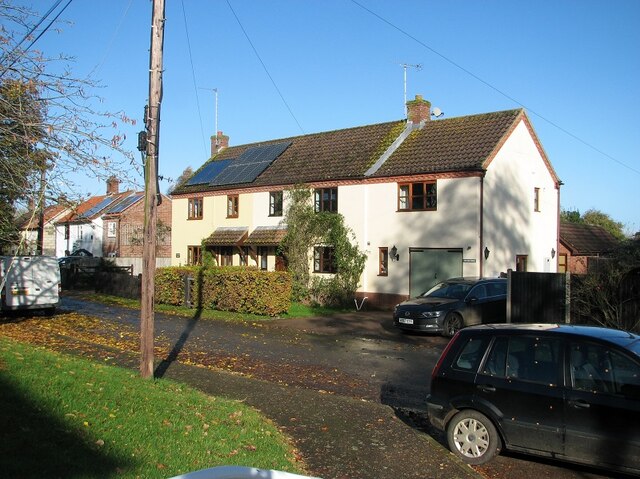
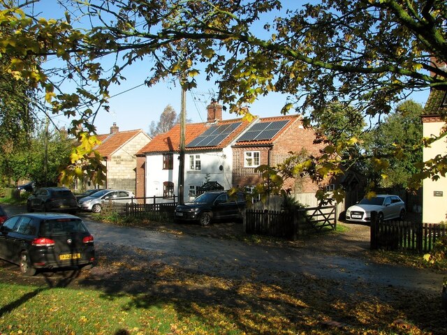
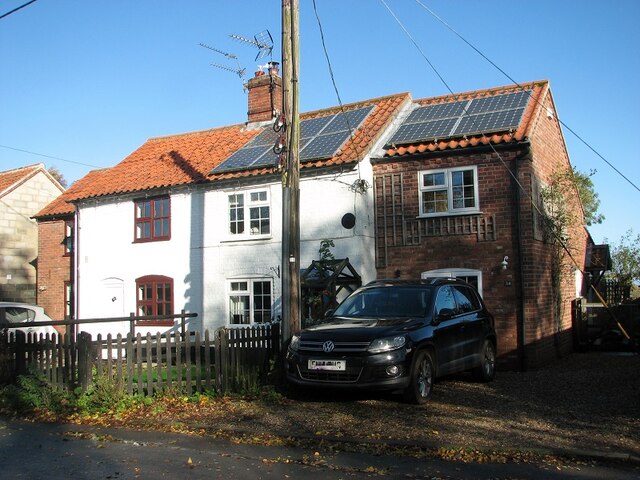
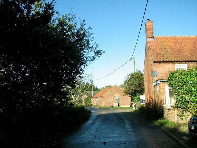
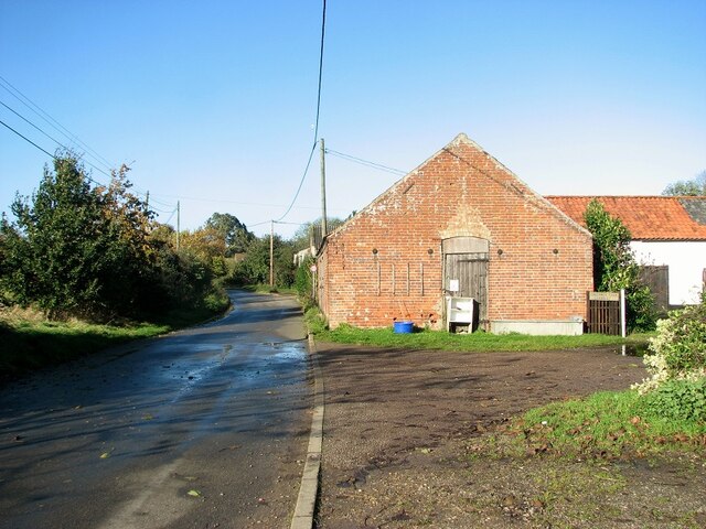
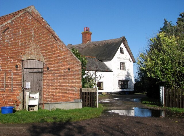
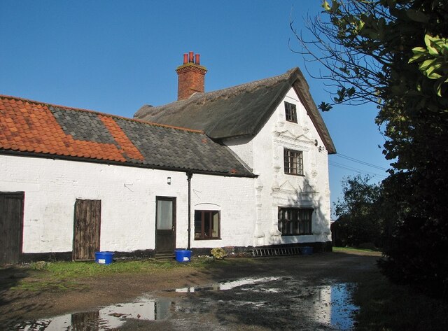
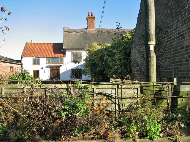
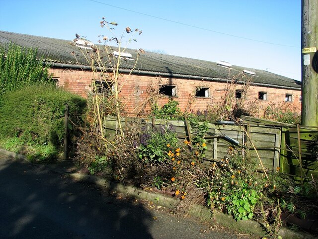
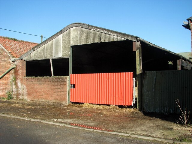
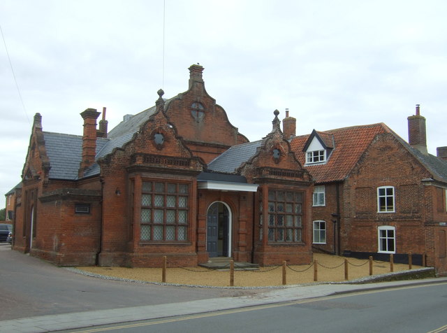
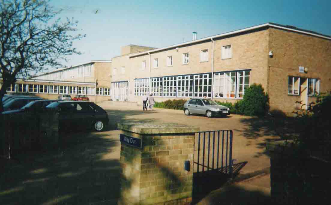
Chicken Plantation Images
Images are sourced within 2km of 52.547282/1.4736282 or Grid Reference TG3500. Thanks to Geograph Open Source API. All images are credited.
Chicken Plantation is located at Grid Ref: TG3500 (Lat: 52.547282, Lng: 1.4736282)
Administrative County: Norfolk
District: South Norfolk
Police Authority: Norfolk
What 3 Words
///picturing.history.readily. Near Loddon, Norfolk
Nearby Locations
Related Wikis

Langley Hall
Langley Hall is a red-brick building in the Palladian style, formerly a country house but now a private school, located near Loddon, Norfolk, England....

Langley School, Loddon
Langley School is an HMC independent co educational day, weekly, flexi and full boarding school situated near the market town of Loddon in South Norfolk...
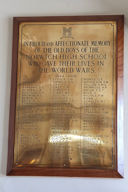
Norwich High School for Boys
Norwich High School for Boys was an independent school in Norwich, England. Founded in 1910, it became the Langley School shortly after World War II....

A146 road
The A146 is an A road that connects Norwich in Norfolk and Lowestoft in Suffolk, two of East Anglia's largest population centres. It is around 27 miles...

Chedgrave
Chedgrave is a village and civil parish in English county of Norfolk. Chedgrave is separated from nearby Loddon by the River Chet. == History == Chedgrave...
Old Town Hall, Loddon
The Old Town Hall is a former events venue in Bridge Street, Loddon, Norfolk, England. The structure, which is currently occupied for commercial use, is...
Loddon, Norfolk
Loddon is a town and civil parish in Norfolk, England, about 12 miles (19 km) south-east of Norwich. The town lies on the River Chet, a tributary of the...
Hobart High School, Norfolk
Hobart High School is a coeducational secondary school with academy status, situated in the village of Loddon, near Norwich in Norfolk, England. It typically...
Nearby Amenities
Located within 500m of 52.547282,1.4736282Have you been to Chicken Plantation?
Leave your review of Chicken Plantation below (or comments, questions and feedback).