Church Plantation
Wood, Forest in Norfolk South Norfolk
England
Church Plantation
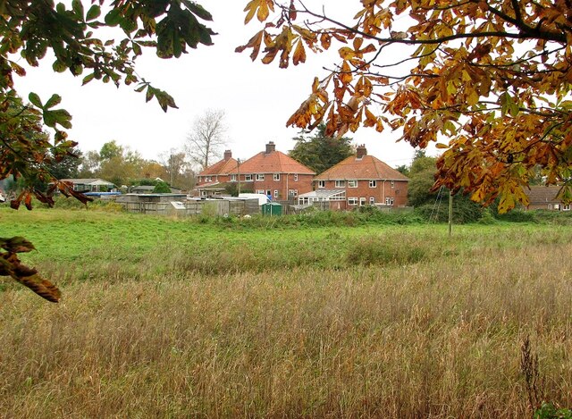
Church Plantation is a neighborhood located in Norfolk, Virginia. Situated in the southeastern part of the city, it is known for its lush woodlands and forested areas, hence its name. The neighborhood is primarily residential, offering a peaceful and serene setting for its residents.
The area is characterized by its well-maintained homes, many of which are single-family houses. The architecture in Church Plantation is diverse, ranging from traditional brick houses to more modern styles. The neighborhood is known for its spacious yards and well-manicured gardens, providing a pleasant environment for outdoor activities.
Church Plantation is also home to several community amenities and facilities. The neighborhood features a small park, offering residents a place to relax and enjoy nature. Additionally, there are nearby recreational areas, including walking trails and playgrounds, providing opportunities for outdoor recreation and exercise.
The location of Church Plantation is one of its main attractions. It is conveniently situated near major roadways, such as Interstate 64 and Interstate 264, allowing for easy access to other parts of Norfolk and the surrounding areas. The neighborhood is also in close proximity to various shopping centers, restaurants, and entertainment venues, providing residents with a wide range of amenities and services.
Overall, Church Plantation in Norfolk, Virginia, offers a tranquil and family-friendly environment with its beautiful woodlands, well-kept homes, and convenient location. It is a desirable neighborhood for those seeking a peaceful retreat within a vibrant city.
If you have any feedback on the listing, please let us know in the comments section below.
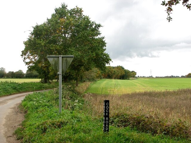
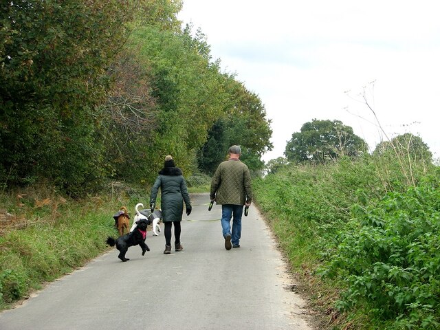
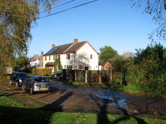
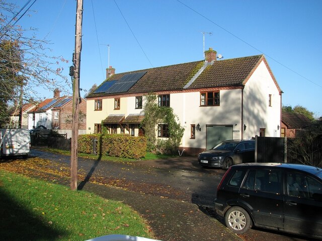
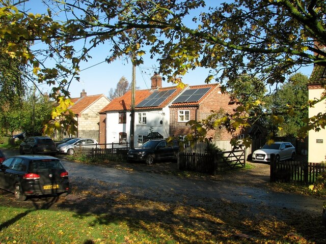
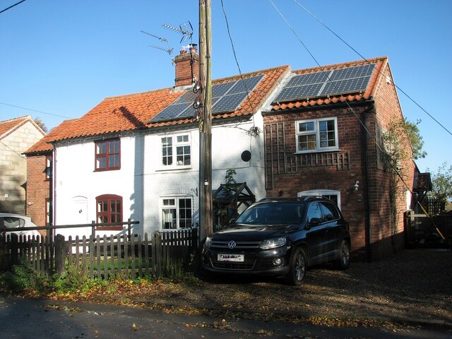
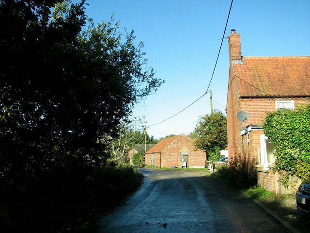
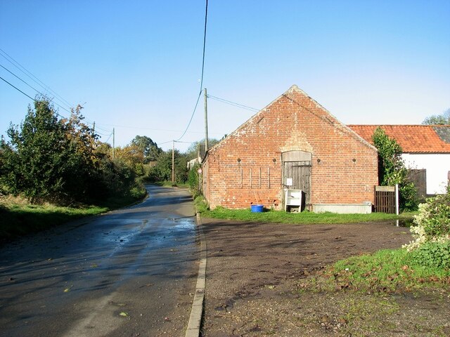
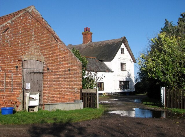
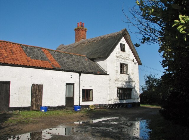
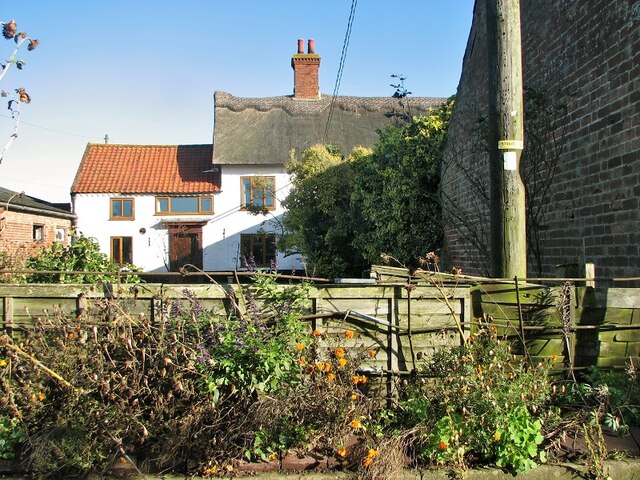
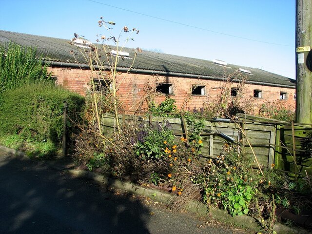
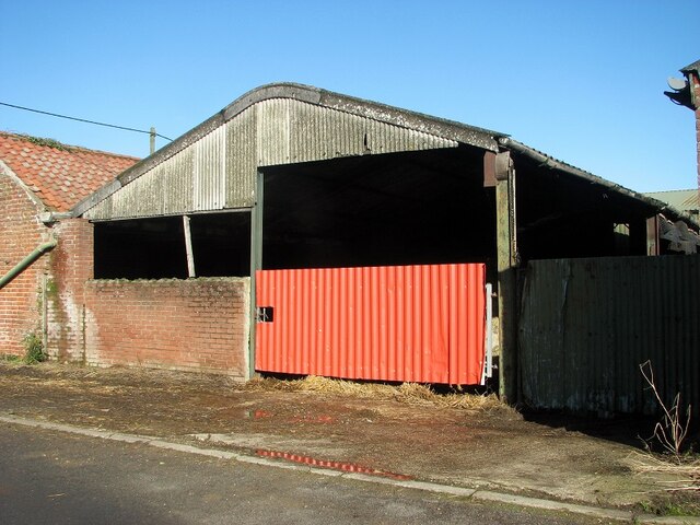
Church Plantation Images
Images are sourced within 2km of 52.554663/1.4737248 or Grid Reference TG3500. Thanks to Geograph Open Source API. All images are credited.
Church Plantation is located at Grid Ref: TG3500 (Lat: 52.554663, Lng: 1.4737248)
Administrative County: Norfolk
District: South Norfolk
Police Authority: Norfolk
What 3 Words
///lollipop.forehand.dream. Near Loddon, Norfolk
Nearby Locations
Related Wikis

Langley Hall
Langley Hall is a red-brick building in the Palladian style, formerly a country house but now a private school, located near Loddon, Norfolk, England....

Langley School, Loddon
Langley School is an HMC independent co educational day, weekly, flexi and full boarding school situated near the market town of Loddon in South Norfolk...
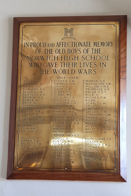
Norwich High School for Boys
Norwich High School for Boys was an independent school in Norwich, England. Founded in 1910, it became the Langley School shortly after World War II....
Langley with Hardley
Langley with Hardley is a parish in the county of Norfolk, England, about a mile east of Loddon. It covers an area of 15.09 km2 (5.83 sq mi) and had a...

Chedgrave
Chedgrave is a village and civil parish in English county of Norfolk. Chedgrave is separated from nearby Loddon by the River Chet. == History == Chedgrave...

A146 road
The A146 is an A road that connects Norwich in Norfolk and Lowestoft in Suffolk, two of East Anglia's largest population centres. It is around 27 miles...

Poplar Farm Meadows, Langley
Poplar Farm Meadows, Langley is a 7.5-hectare (19-acre) biological Site of Special Scientific Interest east of Loddon in Norfolk. It is part of the Broadland...

Carleton St Peter
Carleton St Peter is a hamlet and civil parish in South Norfolk approximately 8+1⁄2 miles (13.7 km) south-east of Norwich. There is no village centre but...
Nearby Amenities
Located within 500m of 52.554663,1.4737248Have you been to Church Plantation?
Leave your review of Church Plantation below (or comments, questions and feedback).