Langley Park
Downs, Moorland in Norfolk South Norfolk
England
Langley Park
Langley Park is a picturesque village located in Norfolk, England. It is situated in the heart of the county, surrounded by beautiful countryside, rolling hills, and lush greenery. The village is divided into two distinct areas: Langley Park Downs and Langley Park Moorland.
Langley Park Downs is known for its stunning landscapes and open spaces. It is home to a large park, which offers ample opportunities for outdoor activities such as walking, jogging, and picnicking. The park features well-maintained paths and trails that wind through the countryside, providing visitors with a chance to enjoy the natural beauty of the area.
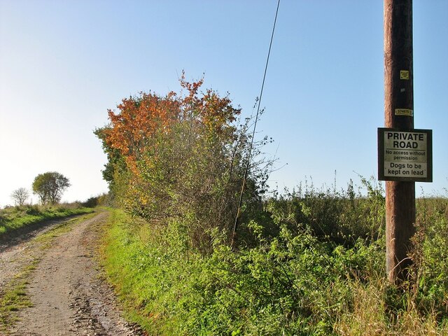
On the other hand, Langley Park Moorland is characterized by its extensive moorland and heathland areas. This part of the village offers a unique and diverse ecosystem, with a wide variety of plants and wildlife. It is a haven for nature enthusiasts and birdwatchers, as the moorland attracts a range of species, including rare birds and butterflies.
The village itself is small but charming, with traditional cottages and a sense of community. It has a local pub, which serves as a hub for socializing and is a popular spot for residents and visitors alike. The pub often hosts events and live music nights, adding to the vibrant atmosphere of the village.
Overall, Langley Park, Norfolk (Downs, Moorland) is a hidden gem in the heart of the English countryside. Its natural beauty, peaceful surroundings, and strong sense of community make it a delightful place to visit or call home.
If you have any feedback on the listing, please let us know in the comments section below.
Langley Park Images
Images are sourced within 2km of 52.553114/1.4676558 or Grid Reference TG3500. Thanks to Geograph Open Source API. All images are credited.


Langley Park is located at Grid Ref: TG3500 (Lat: 52.553114, Lng: 1.4676558)
Administrative County: Norfolk
District: South Norfolk
Police Authority: Norfolk
What 3 Words
///vision.levels.basically. Near Loddon, Norfolk
Nearby Locations
Related Wikis

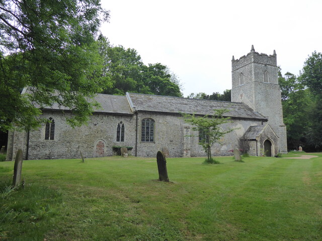
Langley Hall
Langley Hall is a red-brick building in the Palladian style, formerly a country house but now a private school, located near Loddon, Norfolk, England....

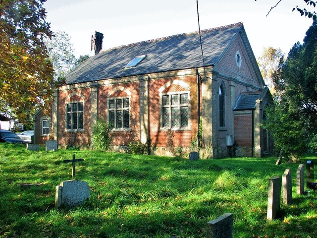
Langley School, Loddon
Langley School is an HMC independent co educational day, weekly, flexi and full boarding school situated near the market town of Loddon in South Norfolk...
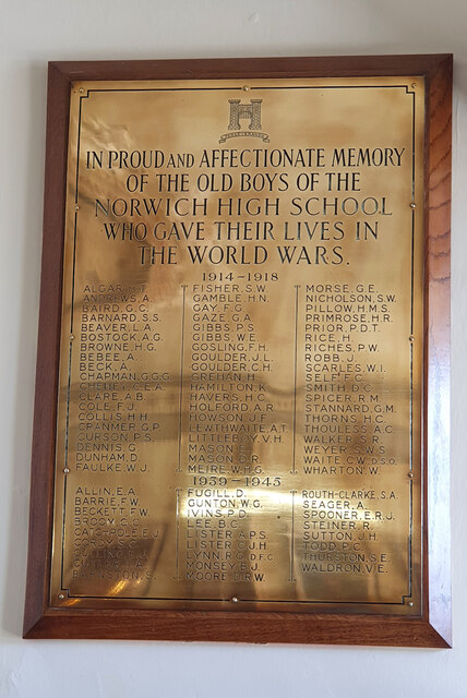
Norwich High School for Boys
Norwich High School for Boys was an independent school in Norwich, England. Founded in 1910, it became the Langley School shortly after World War II....

A146 road
The A146 is an A road that connects Norwich in Norfolk and Lowestoft in Suffolk, two of East Anglia's largest population centres. It is around 27 miles...
Nearby Amenities
Located within 500m of 52.553114,1.4676558Have you been to Langley Park?
Leave your review of Langley Park below (or comments, questions and feedback).