Lodge Wood
Wood, Forest in Suffolk East Suffolk
England
Lodge Wood
Lodge Wood is a picturesque forest located in Suffolk, England. Covering an area of approximately 100 acres, it is a haven for nature enthusiasts and a popular destination for locals and tourists alike.
The wood is predominantly made up of broadleaf trees such as oak, beech, and ash, creating a dense and vibrant canopy. The forest floor is carpeted with an array of wildflowers, adding a burst of color to the landscape. The diverse ecosystem supports a variety of wildlife, including deer, foxes, badgers, and a wide range of bird species.
Lodge Wood offers several trails and paths that wind through the forest, allowing visitors to explore its natural beauty. These trails cater to all levels of fitness and provide opportunities for walking, jogging, and cycling. The peaceful ambiance of the wood makes it an ideal location for those seeking tranquility and relaxation.
Throughout the year, the wood undergoes seasonal changes, offering visitors a different experience with each visit. In spring, the forest comes alive with the vibrant blooms of bluebells and primroses, while autumn brings a stunning display of colors as the leaves change to shades of gold and red.
Managed by the local forestry commission, Lodge Wood is well-maintained and offers various amenities for visitors. These include picnic areas, benches, and information boards highlighting the flora and fauna found within the forest.
Whether it is a leisurely stroll through the woods, a picnic with family and friends, or simply immersing oneself in nature's beauty, Lodge Wood provides a serene and captivating experience for all who visit.
If you have any feedback on the listing, please let us know in the comments section below.
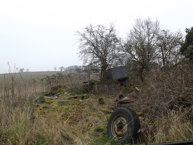
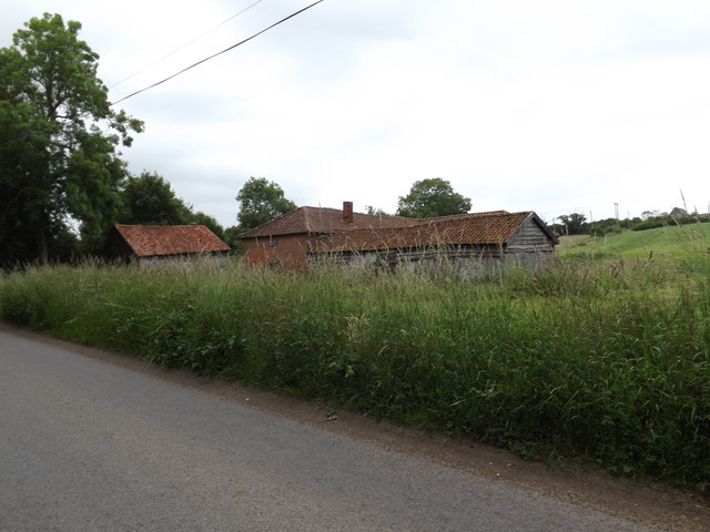
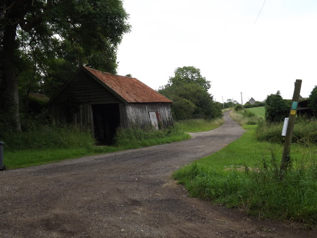
Lodge Wood Images
Images are sourced within 2km of 52.296498/1.4578986 or Grid Reference TM3572. Thanks to Geograph Open Source API. All images are credited.


Lodge Wood is located at Grid Ref: TM3572 (Lat: 52.296498, Lng: 1.4578986)
Administrative County: Suffolk
District: East Suffolk
Police Authority: Suffolk
What 3 Words
///cringes.hushed.cabinet. Near Cookley, Suffolk
Nearby Locations
Related Wikis
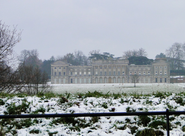
Heveningham Hall
Heveningham Hall is a Grade I listed building in Heveningham, Suffolk. The first house on the site was built for the politician and regicide William Heveningham...

Sibton Abbey
Sibton Abbey, an early Cistercian abbey located near Yoxford, Suffolk, was founded about 1150 by William de Chesney, High Sheriff of Norfolk and Suffolk...

Sibton Park
Sibton Park is a Grade II* listed country house in Sibton, Suffolk, England. It was built in 1827 by Decimus Burton and is now part of the 5,000 acre Wilderness...
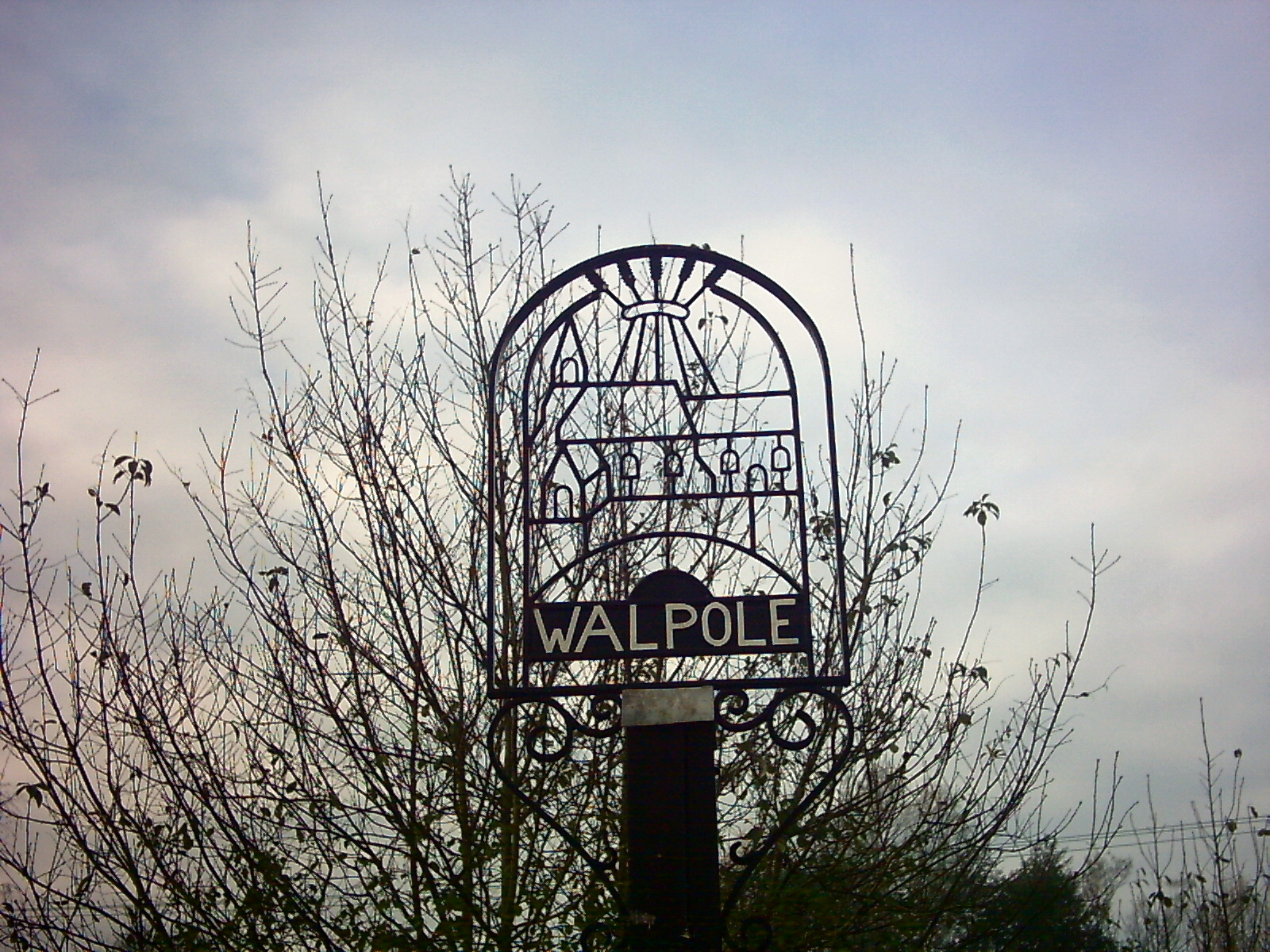
Walpole, Suffolk
Walpole is a small village and civil parish in the district of East Suffolk in Suffolk, England. Walpole has a parish church (dedicated to St Mary), a...
Nearby Amenities
Located within 500m of 52.296498,1.4578986Have you been to Lodge Wood?
Leave your review of Lodge Wood below (or comments, questions and feedback).