Ash Row
Wood, Forest in Suffolk East Suffolk
England
Ash Row

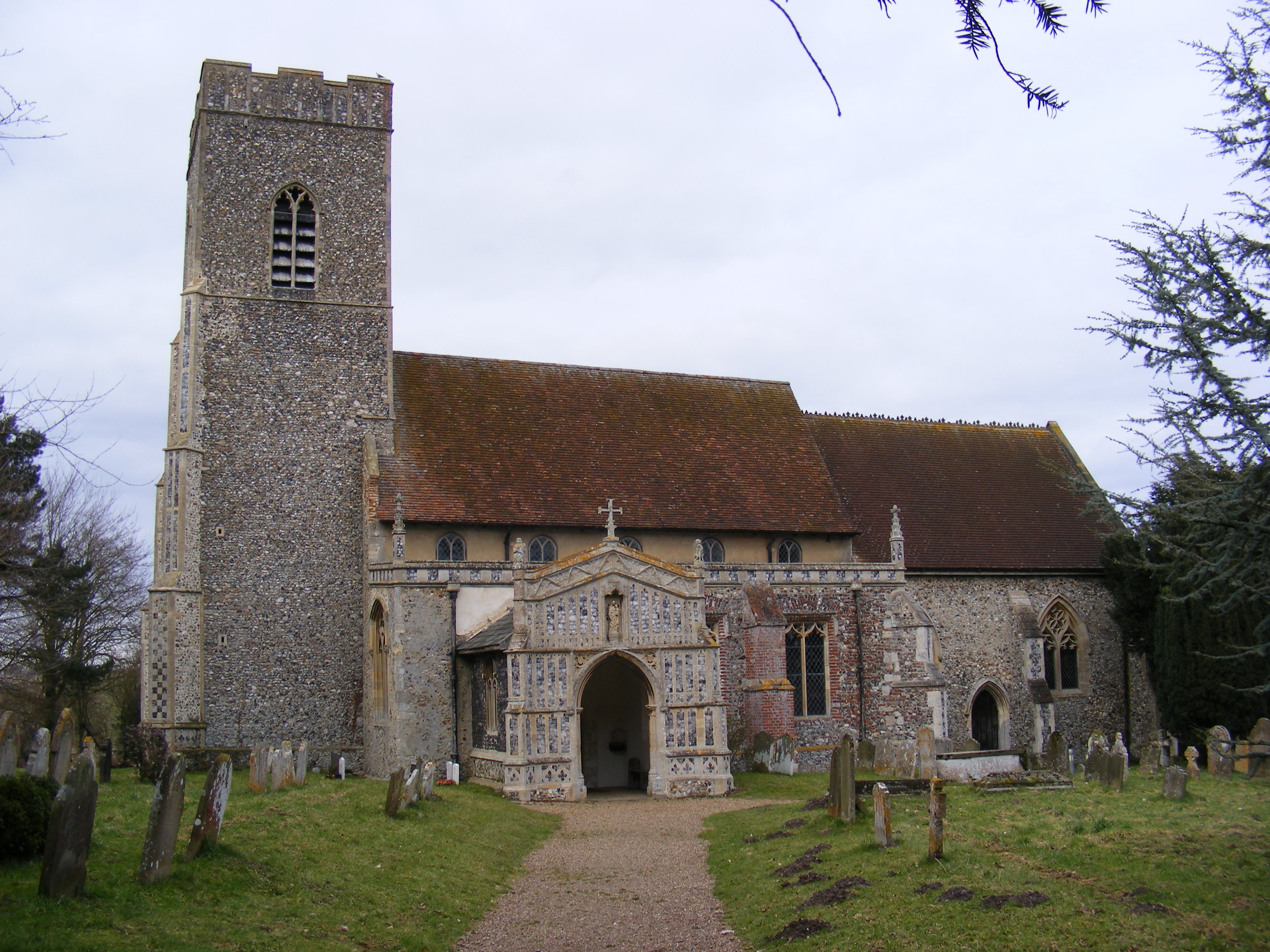
Ash Row is a small village located in the county of Suffolk, England. Situated within a dense wooded area, it is known for its picturesque surroundings and tranquil atmosphere. The village, which is part of the larger district of Suffolk Coastal, is nestled amidst a dense forest, offering residents and visitors a unique experience of living in close proximity to nature.
Ash Row is primarily a residential area, with a small population residing in traditional cottages and houses built in the local architectural style. The village is characterized by its charming, tree-lined streets and well-maintained gardens, which add to its overall appeal. The community is tight-knit, with residents often engaging in social activities and events that foster a sense of unity and belonging.
The forest surrounding Ash Row is abundant in diverse flora and fauna. Tall ash trees dominate the landscape, giving the village its name. The forest provides ample opportunities for outdoor activities such as hiking, cycling, and bird-watching. It is also a popular spot for nature enthusiasts and photographers, who are drawn to its natural beauty and peaceful ambiance.
Although Ash Row is predominantly residential, it is well-connected to nearby towns and villages, offering easy access to essential amenities such as schools, shops, and healthcare facilities. The village also benefits from its proximity to the coast, with several beaches and coastal attractions just a short drive away.
In summary, Ash Row is a charming village nestled in a dense forest in Suffolk. With its serene surroundings, strong community spirit, and access to nature, it offers residents and visitors a peaceful and idyllic place to call home.
If you have any feedback on the listing, please let us know in the comments section below.
Ash Row Images
Images are sourced within 2km of 52.301045/1.4475725 or Grid Reference TM3572. Thanks to Geograph Open Source API. All images are credited.


Ash Row is located at Grid Ref: TM3572 (Lat: 52.301045, Lng: 1.4475725)
Administrative County: Suffolk
District: East Suffolk
Police Authority: Suffolk
What 3 Words
///explained.dealings.pining. Near Cookley, Suffolk
Nearby Locations
Related Wikis

Heveningham Hall
Heveningham Hall is a Grade I listed building in Heveningham, Suffolk, England. The first house on the site was built for the politician and regicide William...

Heveningham
Heveningham is a village and civil parish in the East Suffolk district of Suffolk in eastern England. Located four miles south-west of Halesworth, in 2005...
Huntingfield, Suffolk
Huntingfield is a village near the B1117 road, in the East Suffolk district, in the county of Suffolk, England. The village is close to the source of the...
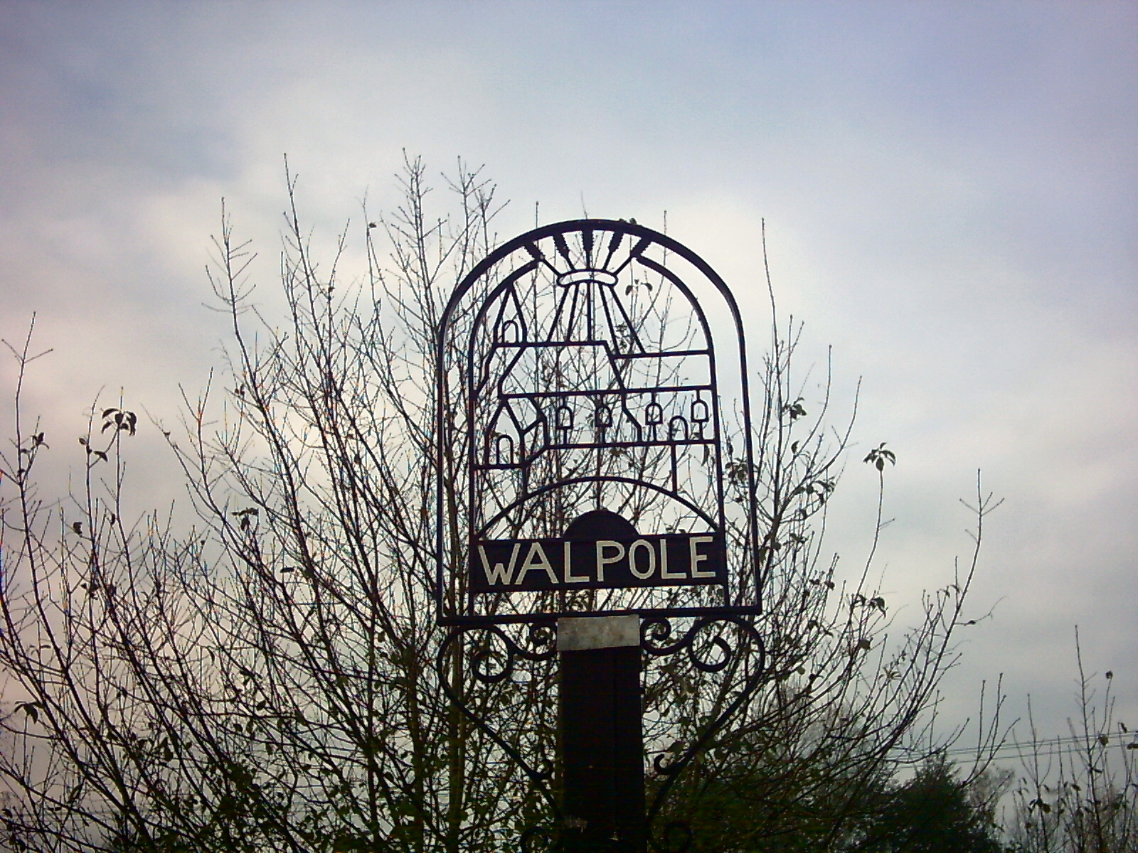
Walpole, Suffolk
Walpole is a small village and civil parish in the district of East Suffolk in Suffolk, England. Walpole has a parish church (dedicated to St Mary), a...
Have you been to Ash Row?
Leave your review of Ash Row below (or comments, questions and feedback).