Egg Plantation

Wood, Forest in Norfolk South Norfolk

England

Egg Plantation

Norwich High School war memorial at Langley School
Norwich High School war memorial at Langley School Credit: Helen Steed

Egg Plantation is a charming woodland located in Norfolk, England. Nestled within the lush greenery of the region, this forested area offers a tranquil retreat for nature enthusiasts and avid hikers alike.

Covering an expansive area, Egg Plantation is known for its dense and diverse woodlands, consisting predominantly of oak, beech, and pine trees. The forest floor is home to a variety of flora, including bluebells, ferns, and wild mushrooms, creating a picturesque setting throughout the year.

The plantation is crisscrossed by several well-maintained trails, making it an ideal destination for walking, jogging, and cycling. These paths wind through the forest, offering glimpses of enchanting wildlife such as deer, rabbits, and a wide array of bird species. Nature lovers can expect to spot woodpeckers, owls, and even the occasional glimpse of a red squirrel.

For those seeking a more immersive experience, there are designated camping areas within the plantation. Campers can set up tents and enjoy a night under the starry sky, surrounded by the peaceful ambiance of the forest.

Egg Plantation also offers educational opportunities for visitors of all ages. The Forestry Commission organizes workshops and guided tours, aimed at promoting awareness about the importance of sustainable forestry and conservation efforts.

Overall, Egg Plantation is a captivating woodland retreat, providing a haven for nature enthusiasts, outdoor adventurers, and those seeking solace in the serene beauty of Norfolk's woodlands.

If you have any feedback on the listing, please let us know in the comments section below.

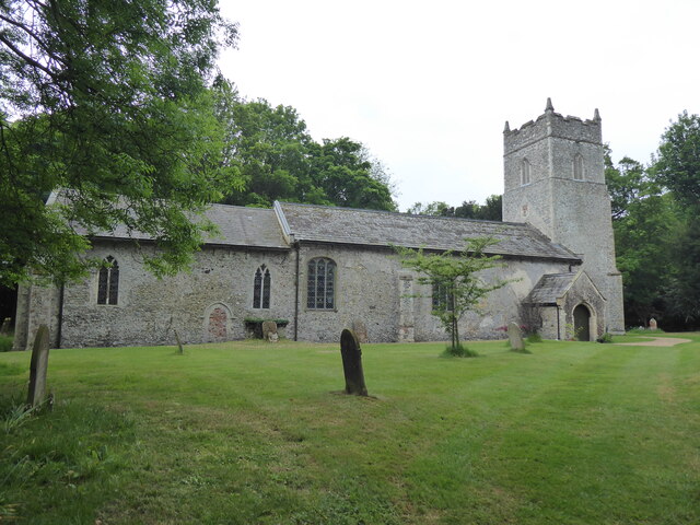
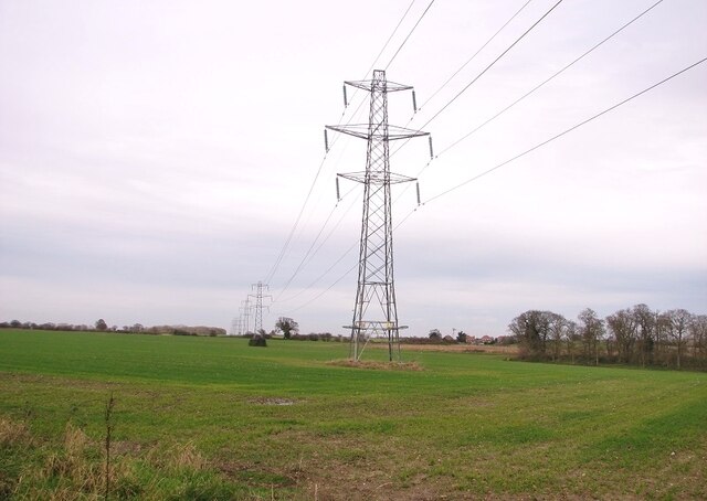
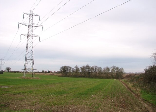
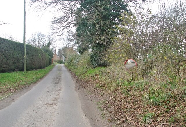
Egg Plantation Images

Images are sourced within 2km of 52.544274/1.4667075 or Grid Reference TM3599. Thanks to Geograph Open Source API. All images are credited.

Norwich High School war memorial at Langley School
Langley, St Michael
Langley, St Michael
Electricity pylons in a crop field
Electricity pylons west of Cock Road
Electricity pylons in fields  north of Cock Road
Electricity pylons in fields north of Cock Road
A stand of trees in a crop field North of Cock Road.
A stand of trees in a crop field
North of Cock Road.
View towards High House In the foreground there is a small pond on the field's edge.
View towards High House
In the foreground there is a small pond on the field's edge.
Small pond by the roadside
Approaching High House on Cock Road
High House
High House
Mirror on the verge The road is Cock Road, approaching Boundary Farm.
Mirror on the verge
The road is Cock Road, approaching Boundary Farm.
Cock Road approaching Boundary Farm
Boundary Farm
Boundary Farm
High hedges flanking Cock Road
Electricity transformer by Boundary Farm
Church of St Michael & All Saints, Langley near Chedgrave
Listed barn by The Grange The Grade II listed barn now serves as an agricultural store and dates from C16.  It has red brick walls, an east gable and a half-hipped thatched roof, and C20 square-headed double sliding doors in the north and south walls and a large C20 door opening in its east gable.  The interior comprises five structural bays of aisle posts with jowled tops supporting arch-braced tie beams and longitudinal aisle plates and reverse arch braces between the aisle posts and plate. Short outshut-ties with straight braces to posts are probably the remains of passing braces from the earlier external walls.
Listed barn by The Grange
The Grade II listed barn now serves as an agricultural store and dates from C16. It has red brick walls, an east gable and a half-hipped thatched roof, and C20 square-headed double sliding doors in the north and south walls and a large C20 door opening in its east gable. The interior comprises five structural bays of aisle posts with jowled tops supporting arch-braced tie beams and longitudinal aisle plates and reverse arch braces between the aisle posts and plate. Short outshut-ties with straight braces to posts are probably the remains of passing braces from the earlier external walls.
Listed barn in Stone Lane The Grade II listed barn now serves as an agricultural store and dates from C16.  It has red brick walls, an east gable and a half-hipped thatched roof, and C20 square-headed double sliding doors in the north and south walls and a large C20 door opening in its east gable.  The interior comprises five structural bays of aisle posts with jowled tops supporting arch-braced tie beams and longitudinal aisle plates and reverse arch braces between the aisle posts and plate. Short outshut-ties with straight braces to posts are probably the remains of passing braces from the earlier external walls.  For a wider view see > <a title="https://www.geograph.org.uk/photo/7693682" href="https://www.geograph.org.uk/photo/7693682">Link</a>
Listed barn in Stone Lane
The Grade II listed barn now serves as an agricultural store and dates from C16. It has red brick walls, an east gable and a half-hipped thatched roof, and C20 square-headed double sliding doors in the north and south walls and a large C20 door opening in its east gable. The interior comprises five structural bays of aisle posts with jowled tops supporting arch-braced tie beams and longitudinal aisle plates and reverse arch braces between the aisle posts and plate. Short outshut-ties with straight braces to posts are probably the remains of passing braces from the earlier external walls. For a wider view see > Link
Show me another place!

Egg Plantation is located at Grid Ref: TM3599 (Lat: 52.544274, Lng: 1.4667075)

Administrative County: Norfolk

District: South Norfolk

Police Authority: Norfolk

What 3 Words

///strange.important.stored. Near Loddon, Norfolk

Related Wikis

A146 road

The A146 is an A road that connects Norwich in Norfolk and Lowestoft in Suffolk, two of East Anglia's largest population centres. It is around 27 miles...

Norwich High School for Boys

Norwich High School for Boys was an independent school in Norwich, England. Founded in 1910, it became the Langley School shortly after World War II....

Langley Hall

Langley Hall is a red-brick building in the Palladian style, formerly a country house but now a private school, located near Loddon, Norfolk, England....

Langley School, Loddon

Langley School is an HMC independent co educational day, weekly, flexi and full boarding school situated near the market town of Loddon in South Norfolk...

Nearby Amenities

Located within 500m of 52.544274,1.4667075
Give Way
Lat/Long: 52.5424039/1.4633014
Power: pole
Lat/Long: 52.5403026/1.4683056
Give Way
Lat/Long: 52.5421332/1.4631288
Location Transition: yes
Power: pole
Transformer: distribution
Lat/Long: 52.5410791/1.4683995
Power: pole
Lat/Long: 52.5413418/1.4672005
Power: pole
Lat/Long: 52.5416696/1.4659211
Power: pole
Lat/Long: 52.5420155/1.4646444
Location Transition: yes
Power: pole
Transformer: distribution
Lat/Long: 52.5430611/1.4605714
Material: wood
Power: pole
Lat/Long: 52.5428866/1.4611736
Material: wood
Power: pole
Transformer: distribution
Lat/Long: 52.5423923/1.4621794
Power: pole
Lat/Long: 52.5421574/1.4637378
Colour: yellow
Marker: post
Material: concrete
Utility: gas
Lat/Long: 52.539815/1.4662257
Colour: yellow
Inscription: GAS PIPELINE
Marker: post
Material: concrete
Utility: gas
Lat/Long: 52.5398977/1.465853
The data included in this document is from www.openstreetmap.org. The data is made available under ODbL.

Have you been to Egg Plantation?

Leave your review of Egg Plantation below (or comments, questions and feedback).