Gilbert's Hill

Hill, Mountain in Norfolk South Norfolk

England

Gilbert's Hill

Norwich High School war memorial at Langley School
Norwich High School war memorial at Langley School Credit: Helen Steed

Gilbert's Hill is a prominent landmark located in Norfolk, England. Situated near the village of Weybourne, it is known for its picturesque views and historical significance. Although referred to as a hill, Gilbert's Hill is more accurately described as a gentle slope, rising to an elevation of approximately 60 meters above sea level.

The hill itself is covered in lush green grass and scattered with vibrant wildflowers, creating a serene and tranquil atmosphere. It offers breathtaking vistas of the surrounding Norfolk countryside, including sweeping views of the North Sea coastline. On clear days, one can even catch a glimpse of the iconic Cromer Pier in the distance.

In addition to its natural beauty, Gilbert's Hill holds historical significance. During World War II, it served as a strategic observation point for the British military, providing an ideal vantage point to detect enemy aircraft and monitor the coast. Today, remnants of the wartime structures, including concrete foundations and pillboxes, can still be found on the hill, serving as a reminder of its past role.

Gilbert's Hill is a popular destination for hikers and nature enthusiasts, offering a variety of walking trails that wind through the surrounding countryside. The hill's accessibility, combined with its stunning views, make it an ideal spot for picnics and leisurely walks. Whether one is seeking a peaceful escape or a glimpse into history, Gilbert's Hill is sure to captivate visitors with its natural beauty and historical significance.

If you have any feedback on the listing, please let us know in the comments section below.

Gilbert's Hill Images

Images are sourced within 2km of 52.539744/1.4647425 or Grid Reference TM3599. Thanks to Geograph Open Source API. All images are credited.

Norwich High School war memorial at Langley School
Langley, St Michael
Langley, St Michael
View towards High House In the foreground there is a small pond on the field's edge.
View towards High House
In the foreground there is a small pond on the field's edge.
Small pond by the roadside
Approaching High House on Cock Road
High House
High House
Mirror on the verge The road is Cock Road, approaching Boundary Farm.
Mirror on the verge
The road is Cock Road, approaching Boundary Farm.
Cock Road approaching Boundary Farm
Boundary Farm
Boundary Farm
High hedges flanking Cock Road
Electricity transformer by Boundary Farm
Church of St Michael & All Saints, Langley near Chedgrave
Loddon watermill Loddon watermill was sometimes known as Chedgrave mill and is one of the earliest recorded buildings in the town.
Arthur Charles Sadd b.1854 Henstead, Suffolk, was one of the founders of Woods, Sadd, Moore & Co. Ltd.
I suffered serious flooding, the worst being in 1912 when a section of the roadway next to the mill was washed away and part of the bridge caved in soon afterwards. Another flood in living memory happened on 12th September 1968 when a temporary Bailey bridge had to be erected after the bridge was rendered unsafe.
In 1928 the mill was converted to electricity but finally ceased operation in 1968.  <a href="https://www.geograph.org.uk/photo/7130907">TM3699 : Loddon watermill</a>
Loddon watermill
Loddon watermill was sometimes known as Chedgrave mill and is one of the earliest recorded buildings in the town. Arthur Charles Sadd b.1854 Henstead, Suffolk, was one of the founders of Woods, Sadd, Moore & Co. Ltd. I suffered serious flooding, the worst being in 1912 when a section of the roadway next to the mill was washed away and part of the bridge caved in soon afterwards. Another flood in living memory happened on 12th September 1968 when a temporary Bailey bridge had to be erected after the bridge was rendered unsafe. In 1928 the mill was converted to electricity but finally ceased operation in 1968. TM3699 : Loddon watermill
Loddon watermill Loddon watermill was sometimes known as Chedgrave mill and is one of the earliest recorded buildings in the town.
Arthur Charles Sadd b.1854 Henstead, Suffolk, was one of the founders of Woods, Sadd, Moore & Co. Ltd.
I suffered serious flooding, the worst being in 1912 when a section of the roadway next to the mill was washed away and part of the bridge caved in soon afterwards. Another flood in living memory happened on 12th September 1968 when a temporary Bailey bridge had to be erected after the bridge was rendered unsafe.
In 1928 the mill was converted to electricity but finally ceased operation in 1968.  <a href="https://www.geograph.org.uk/photo/7130904">TM3699 : Loddon watermill</a>
Loddon watermill
Loddon watermill was sometimes known as Chedgrave mill and is one of the earliest recorded buildings in the town. Arthur Charles Sadd b.1854 Henstead, Suffolk, was one of the founders of Woods, Sadd, Moore & Co. Ltd. I suffered serious flooding, the worst being in 1912 when a section of the roadway next to the mill was washed away and part of the bridge caved in soon afterwards. Another flood in living memory happened on 12th September 1968 when a temporary Bailey bridge had to be erected after the bridge was rendered unsafe. In 1928 the mill was converted to electricity but finally ceased operation in 1968. TM3699 : Loddon watermill
The Swan, Loddon The pub occupies a late C18th building, though there is a late C17th timber-framed wing behind. Next door is the former town hall of 1870 (<a href="https://www.geograph.org.uk/photo/919351">TM3698 : Former Town Hall</a>). Grade II listed.
The Swan, Loddon
The pub occupies a late C18th building, though there is a late C17th timber-framed wing behind. Next door is the former town hall of 1870 (TM3698 : Former Town Hall). Grade II listed.
Cedar, Loddon A majestic specimen in the churchyard, precise location unknown.
Cedar, Loddon
A majestic specimen in the churchyard, precise location unknown.
Farthing Green House, Loddon A five-bay mid-C18th house with rusticated doorcase. Grade II listed.
Farthing Green House, Loddon
A five-bay mid-C18th house with rusticated doorcase. Grade II listed.
Crinkle-crankle wall in Davy Place, Loddon The end wall of the bungalow is decorated with beer bottles to relieve the starkness of the wall. 
The homes were built in 1963, by Loddon R D C and the Architects were Tayler and Green and received a civic trust award for their work.
Crinkle-crankle wall in Davy Place, Loddon
The end wall of the bungalow is decorated with beer bottles to relieve the starkness of the wall. The homes were built in 1963, by Loddon R D C and the Architects were Tayler and Green and received a civic trust award for their work.
Show me another place!

Gilbert's Hill is located at Grid Ref: TM3599 (Lat: 52.539744, Lng: 1.4647425)

Administrative County: Norfolk

District: South Norfolk

Police Authority: Norfolk

What 3 Words

///absent.fingertip.width. Near Loddon, Norfolk

Related Wikis

A146 road

The A146 is an A road that connects Norwich in Norfolk and Lowestoft in Suffolk, two of East Anglia's largest population centres. It is around 27 miles...

Sisland

Sisland, historically Sislanda, is a very small village, manor and parish in the county of Norfolk, England, about a mile west of Loddon. In the 2001 census...

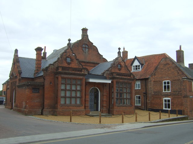
Old Town Hall, Loddon

The Old Town Hall is a former events venue in Bridge Street, Loddon, Norfolk, England. The structure, which is currently occupied for commercial use, is...

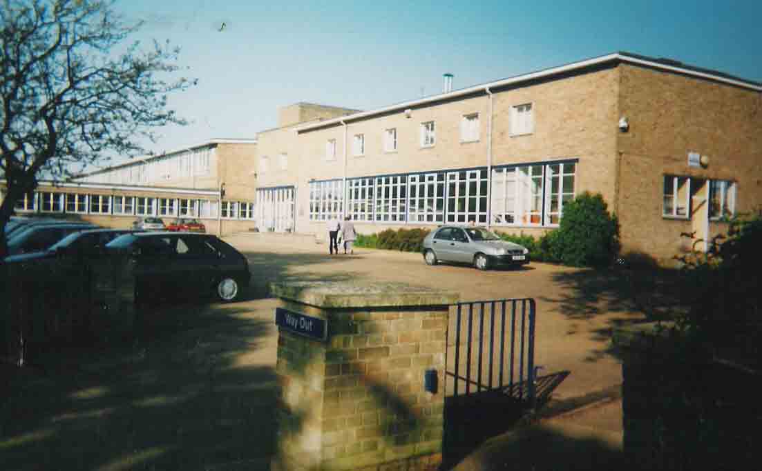
Hobart High School, Norfolk

Hobart High School is a coeducational secondary school with academy status, situated in the village of Loddon, near Norwich in Norfolk, England. It typically...

Nearby Amenities

Located within 500m of 52.539744,1.4647425
Power: tower
Ref: PM 27
Lat/Long: 52.536861/1.459258
Give Way
Lat/Long: 52.5424039/1.4633014
Parking
Fee: no
Parking: layby
Lat/Long: 52.536195/1.4690507
Power: pole
Lat/Long: 52.5403026/1.4683056
Power: pole
Lat/Long: 52.5396142/1.4682171
Power: pole
Lat/Long: 52.5389094/1.4681151
Power: pole
Lat/Long: 52.5380709/1.4682332
Material: wood
Power: pole
Lat/Long: 52.5375847/1.4682037
Material: wood
Power: pole
Lat/Long: 52.5370251/1.4682627
Material: wood
Power: pole
Lat/Long: 52.5364884/1.4683136
Material: wood
Power: pole
Lat/Long: 52.5359582/1.4683619
Give Way
Lat/Long: 52.5421332/1.4631288
Location Transition: yes
Power: pole
Transformer: distribution
Lat/Long: 52.5410791/1.4683995
Power: pole
Lat/Long: 52.5413418/1.4672005
Power: pole
Lat/Long: 52.5416696/1.4659211
Power: pole
Lat/Long: 52.5420155/1.4646444
Location Transition: yes
Power: pole
Transformer: distribution
Lat/Long: 52.5430611/1.4605714
Material: wood
Power: pole
Lat/Long: 52.5428866/1.4611736
Material: wood
Power: pole
Transformer: distribution
Lat/Long: 52.5423923/1.4621794
Power: pole
Lat/Long: 52.5421574/1.4637378
Colour: yellow
Marker: post
Material: concrete
Utility: gas
Lat/Long: 52.539815/1.4662257
Colour: yellow
Inscription: GAS PIPELINE
Marker: post
Material: concrete
Utility: gas
Lat/Long: 52.5398977/1.465853
The data included in this document is from www.openstreetmap.org. The data is made available under ODbL.

Have you been to Gilbert's Hill?

Leave your review of Gilbert's Hill below (or comments, questions and feedback).