Chedgrave

Civil Parish in Norfolk South Norfolk

England

Chedgrave

Norwich High School war memorial at Langley School
Norwich High School war memorial at Langley School Credit: Helen Steed

Chedgrave is a small civil parish located in the county of Norfolk, England. It is situated on the southern bank of the River Chet, approximately 11 miles southeast of the city of Norwich. The parish covers an area of about 2.5 square miles and is home to a population of around 1,200 people.

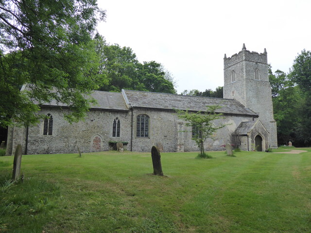
The village of Chedgrave has a rich history that dates back to Roman times, with evidence of settlements and pottery found in the area. Today, it is a peaceful and picturesque village known for its scenic countryside and charming rural atmosphere.

The village is primarily residential, with a mix of traditional cottages, farmhouses, and modern houses. There are also a few local businesses, including a village shop and a pub, providing essential services to the community.

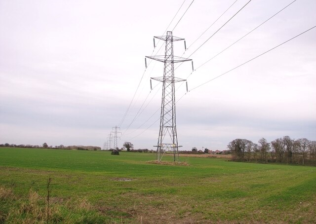
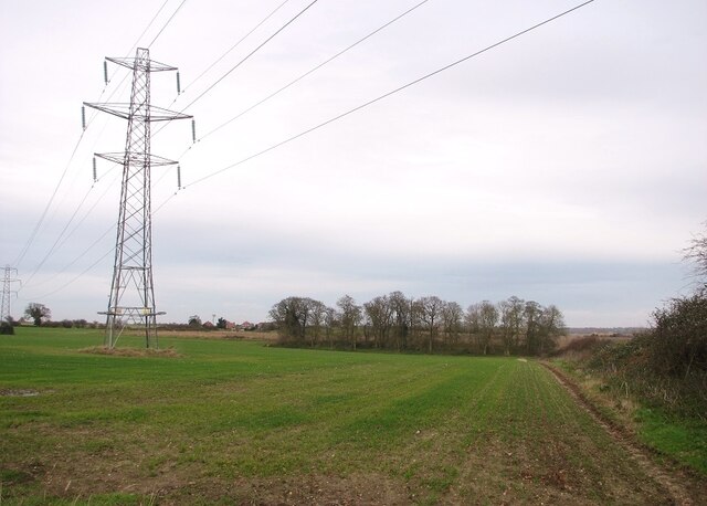
Chedgrave is surrounded by beautiful natural landscapes, making it a popular destination for outdoor enthusiasts. The nearby River Chet offers opportunities for boating, fishing, and wildlife spotting, while the surrounding farmland provides scenic walking and cycling routes.

The village has a strong sense of community, with various local events and activities taking place throughout the year. These include village fairs, art exhibitions, and sports clubs, fostering a close-knit and friendly atmosphere.

Overall, Chedgrave is a charming and peaceful civil parish that offers a tranquil escape from the hustle and bustle of city life. Its rich history, beautiful landscapes, and strong community spirit make it an attractive place to live or visit in Norfolk.

If you have any feedback on the listing, please let us know in the comments section below.
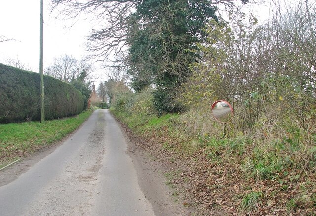
Chedgrave Images

Images are sourced within 2km of 52.540013/1.474324 or Grid Reference TM3599. Thanks to Geograph Open Source API. All images are credited.

Norwich High School war memorial at Langley School
Langley, St Michael
Langley, St Michael
Trees beside Cock Road
Small wood west of Cock Road
Crop field west of Cock Road
Electricity pylons in a crop field
Electricity pylons west of Cock Road
Electricity pylons in fields  north of Cock Road
Electricity pylons in fields north of Cock Road
A stand of trees in a crop field North of Cock Road.
A stand of trees in a crop field
North of Cock Road.
View towards High House In the foreground there is a small pond on the field's edge.
View towards High House
In the foreground there is a small pond on the field's edge.
Small pond by the roadside
Approaching High House on Cock Road
High House
High House
Mirror on the verge The road is Cock Road, approaching Boundary Farm.
Mirror on the verge
The road is Cock Road, approaching Boundary Farm.
Cock Road approaching Boundary Farm
Boundary Farm
Boundary Farm
High hedges flanking Cock Road
Electricity transformer by Boundary Farm
Show me another place!

Chedgrave is located at Grid Ref: TM3599 (Lat: 52.540013, Lng: 1.474324)

Administrative County: Norfolk

District: South Norfolk

Police Authority: Norfolk

What 3 Words

///readily.fastening.dizziness. Near Loddon, Norfolk

Related Wikis

A146 road

The A146 is an A road that connects Norwich in Norfolk and Lowestoft in Suffolk, two of East Anglia's largest population centres. It is around 27 miles...

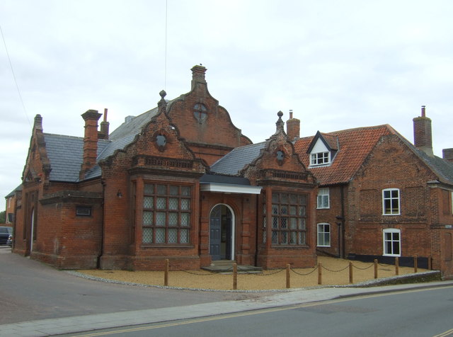
Old Town Hall, Loddon

The Old Town Hall is a former events venue in Bridge Street, Loddon, Norfolk, England. The structure, which is currently occupied for commercial use, is...

Chedgrave

Chedgrave is a village and civil parish in English county of Norfolk. Chedgrave is separated from nearby Loddon by the River Chet. == History == Chedgrave...

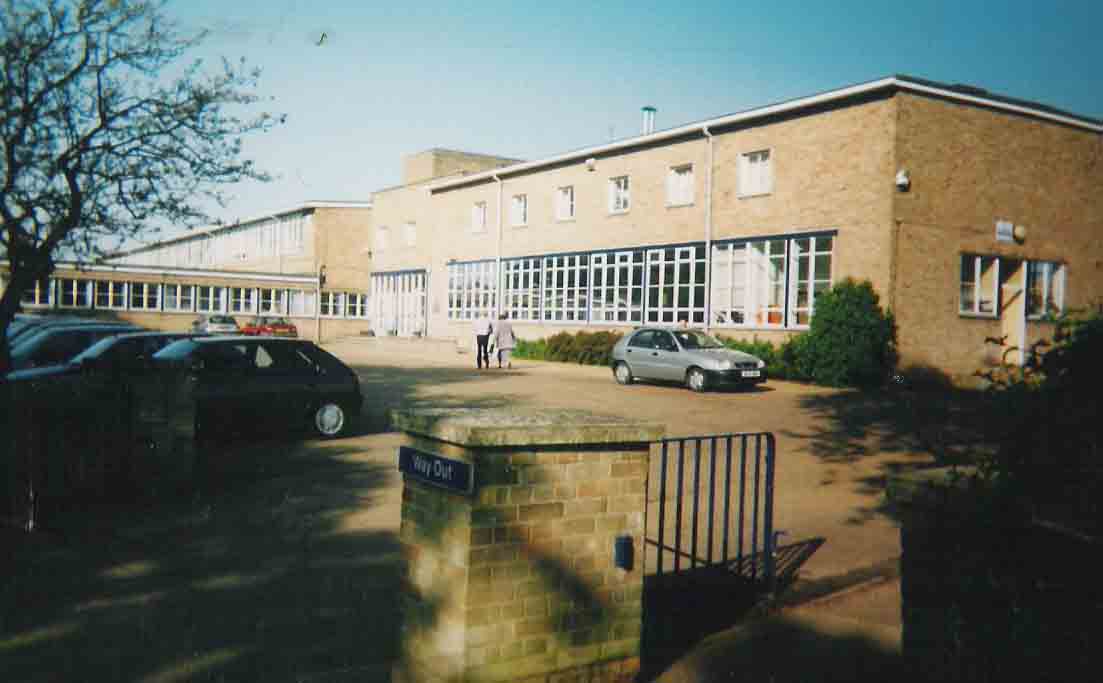
Hobart High School, Norfolk

Hobart High School is a coeducational secondary school with academy status, situated in the village of Loddon, near Norwich in Norfolk, England. It typically...

Nearby Amenities

Located within 500m of 52.540013,1.474324
Traffic Calming: hump
Lat/Long: 52.5379991/1.4806712
Chedgrave
Place: village
Source Name: Village sign
Lat/Long: 52.5413615/1.4811538
Restaurant
Rosy Lee's Tearoom
Addr City: Norwich
Addr Housenumber: 37A
Addr Postcode: NR14 6NA
Addr Street: Bridge Street
Addr Town: Loddon
Fhrs Id: 647846
Note: locally sourced food
Source Addr: FHRS Open Data
Lat/Long: 52.5375881/1.4804592
Turning Circle
Source: Bing
Lat/Long: 52.5371435/1.4765291
Bus Stop
White Horse, adj
Naptan AtcoCode: 2900C152
Naptan Bearing: NW
Naptan CommonName: White Horse
Naptan Indicator: adj
Naptan Landmark: public house
Naptan Locality: Chedgrave
Naptan NaptanCode: nfoajgtp
Naptan ShortCommonName: White Horse
Naptan Street: Norwich Road
Naptan Verified: no
Source: naptan_import
Lat/Long: 52.5394742/1.4804662
Bus Stop
shops, opp
Bus: yes
Naptan AtcoCode: 2900C153
Naptan Bearing: W
Naptan BusStopType: CUS
Naptan CommonName: shops
Naptan Indicator: opp
Naptan Landmark: shops
Naptan Locality: Chedgrave
Naptan NaptanCode: nfoajgtw
Naptan ShortCommonName: shops
Naptan Street: Hardley Road
Naptan Verified: no
Public Transport: platform
Source: naptan_import
Lat/Long: 52.5413775/1.4813007
Bus Stop
Chedgrave / White Horse
Naptan AtcoCode: 2900C154
Naptan Bearing: SE
Naptan BusStopType: CUS
Naptan CommonName: White Horse
Naptan Indicator: opp
Naptan Landmark: public house
Naptan Locality: Chedgrave
Naptan NaptanCode: nfoajgwa
Naptan ShortCommonName: White Horse
Naptan Street: Norwich Road
Shelter: yes
Source: naptan_import;survey
Lat/Long: 52.539496/1.4807668
Post Box
Post Box Type: pillar
Lat/Long: 52.53663/1.4762849
Bus Stop
Shops, opp
Bus: yes
Naptan AtcoCode: 2900C157
Naptan Bearing: N
Naptan BusStopType: CUS
Naptan CommonName: Shops
Naptan Indicator: opp
Naptan Locality: Chedgrave
Naptan NaptanCode: nfogtdmw
Naptan Street: Langley Road
Naptan Verified: no
Public Transport: platform
Source: naptan_import
Lat/Long: 52.5416973/1.4808244
Bus Stop
Shops, adj
Bus: yes
Naptan AtcoCode: 2900C156
Naptan Bearing: S
Naptan BusStopType: CUS
Naptan CommonName: Shops
Naptan Indicator: adj
Naptan Locality: Chedgrave
Naptan NaptanCode: nfogtdmt
Naptan Street: Langley Road
Naptan Verified: no
Public Transport: platform
Source: naptan_import
Lat/Long: 52.5416887/1.4811188
Give Way
Lat/Long: 52.5393377/1.4809644
Bridge Stores
Addr City: Norwich
Addr Housenumber: 41
Addr Postcode: NR14 6NA
Addr Street: Bridge Street
Addr Town: Loddon
Fhrs Id: 647847
Fixme Addr3: Norfolk
Shop: convenience
Source Addr: FHRS Open Data
Lat/Long: 52.5377236/1.4805003
Post Box
Note: looks like converted bag box
Post Box Type: lamp
Ref: NR14 1409
Royal Cypher: no
Lat/Long: 52.5396555/1.4809397
Bench
Lat/Long: 52.5393227/1.4810872
Give Way
Lat/Long: 52.5410817/1.4769971
Give Way
Lat/Long: 52.5411566/1.4768136
Chedgrave
Colour: brown
Man Made: village_sign
Material: wood
Old Name: Chattegrava
Start Date: 1158
Lat/Long: 52.5415669/1.4808704
Give Way
Lat/Long: 52.5414367/1.4808691
Give Way
Lat/Long: 52.5414568/1.480971
Location Transition: yes
Power: pole
Transformer: distribution
Lat/Long: 52.5367927/1.4751077
Power: pole
Lat/Long: 52.5403026/1.4683056
Power: pole
Lat/Long: 52.5396142/1.4682171
Power: pole
Lat/Long: 52.5389094/1.4681151
Power: pole
Lat/Long: 52.5380709/1.4682332
Material: wood
Power: pole
Lat/Long: 52.5375847/1.4682037
Location Transition: yes
Power: pole
Transformer: distribution
Lat/Long: 52.5410791/1.4683995
Communication Mobile Phone: yes
Man Made: mast
Material: metal
Operator: O2-UK;Vodafone UK
Tower Construction: freestanding
Tower Type: communication
Lat/Long: 52.5403711/1.4797533
The data included in this document is from www.openstreetmap.org. The data is made available under ODbL.

Have you been to Chedgrave?

Leave your review of Chedgrave below (or comments, questions and feedback).