Cheddon Fitzpaine
Civil Parish in Somerset Somerset West and Taunton
England
Cheddon Fitzpaine

Cheddon Fitzpaine is a civil parish located in the county of Somerset, in the southwestern part of England. Situated about 2 miles east of the town of Taunton, it covers an area of approximately 5 square kilometers. The parish is primarily rural, characterized by rolling hills, farmland, and scattered residential areas.
Historically, Cheddon Fitzpaine was a Saxon settlement and its name is derived from the Old English words "chedde" and "dun," meaning "the hill of Chedde." The village is centered around St. Mary's Church, which dates back to the 12th century and is a Grade I listed building. The church features a Norman tower and a number of interesting architectural details.
The population of Cheddon Fitzpaine is relatively small, with around 600 inhabitants according to the latest census. The community is close-knit and has a strong sense of local identity. Amenities in the village include a primary school, a village hall, and a pub, which serves as a social hub for residents.
The surrounding countryside offers opportunities for outdoor activities such as walking, hiking, and horse riding. The nearby Quantock Hills, designated as an Area of Outstanding Natural Beauty, provide stunning views and diverse wildlife. Cheddon Fitzpaine's location also allows for convenient access to the larger town of Taunton, where residents can find a wider range of amenities, shops, and services.
Overall, Cheddon Fitzpaine offers a peaceful and picturesque setting for those seeking a rural lifestyle, while still benefiting from proximity to larger towns and amenities.
If you have any feedback on the listing, please let us know in the comments section below.
Cheddon Fitzpaine Images
Images are sourced within 2km of 51.043471/-3.088113 or Grid Reference ST2327. Thanks to Geograph Open Source API. All images are credited.


Cheddon Fitzpaine is located at Grid Ref: ST2327 (Lat: 51.043471, Lng: -3.088113)
Administrative County: Somerset
District: Somerset West and Taunton
Police Authority: Avon and Somerset
What 3 Words
///entire.nail.grab. Near Taunton, Somerset
Nearby Locations
Related Wikis
Cheddon Fitzpaine
Cheddon Fitzpaine is a village and civil parish in Somerset, England, situated on the Quantock Hills 2 miles (3.2 km) north of Taunton. The village is...

Church of St Mary, Cheddon Fitzpaine
The Anglican Church of St Mary in Cheddon Fitzpaine, Somerset, England was built in the late 13th century. It is a Grade II* listed building. == History... ==
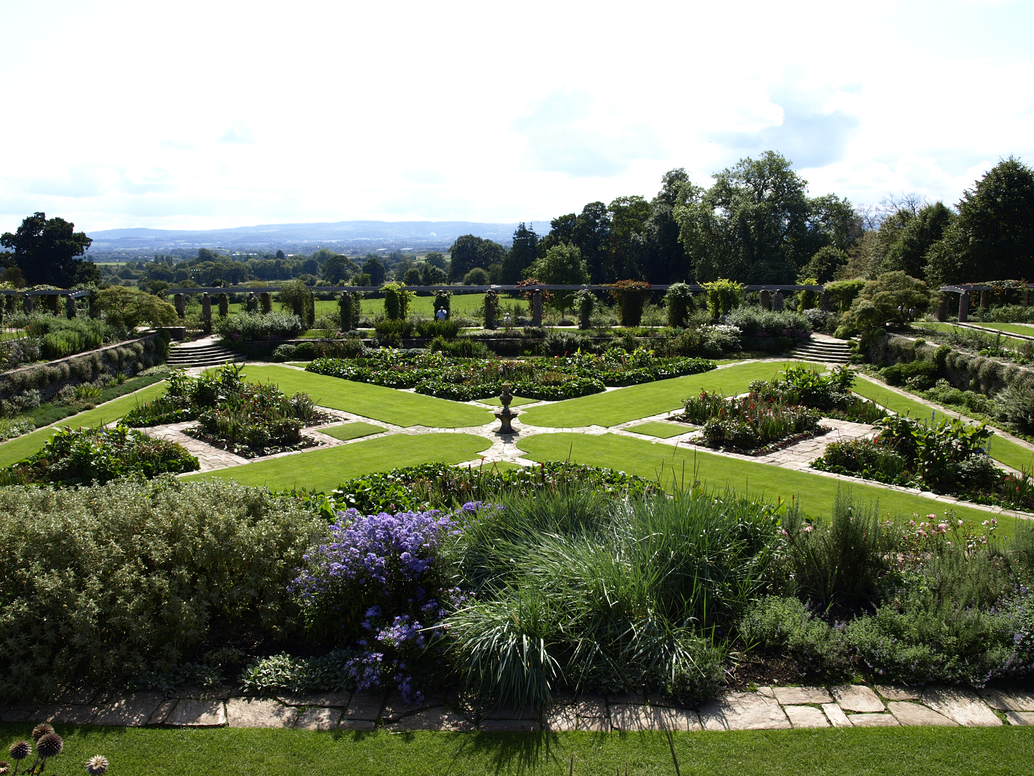
Hestercombe Gardens
Hestercombe Gardens is a garden complex situated on the grounds of Hestercombe House in the southwestern English county of Somerset. The entire garden...

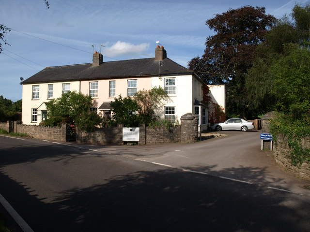
King's College Preparatory School
King's College Preparatory School is a co-educational preparatory school that provides day and boarding school. The school is located within the parish...
Pyrland Hall
Pyrland Hall is a country house near Cheddon Fitzpaine in the English county of Somerset. It is a Grade II* listed building. == History == Pyrland Hall...

The Taunton Academy
Pyrland School (formerly The Taunton Academy) is a school with academy status in Taunton, Somerset, England. The school was formed by the merger of The...
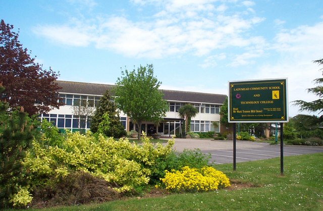
Ladymead Community School
Ladymead Community School was a secondary school and technology college located on Cheddon Road, Taunton, Somerset, England. It had 753 students aged 11...

Hestercombe House
Hestercombe House is a historic country house in the parish of West Monkton in the Quantock Hills, near Taunton in Somerset, England. The house is a Grade...
Nearby Amenities
Located within 500m of 51.043471,-3.088113Have you been to Cheddon Fitzpaine?
Leave your review of Cheddon Fitzpaine below (or comments, questions and feedback).