Cheddleton
Civil Parish in Staffordshire Staffordshire Moorlands
England
Cheddleton
Cheddleton is a civil parish located in the county of Staffordshire, England. It is situated on the eastern edge of the Staffordshire Moorlands, approximately 5 miles northeast of the market town of Leek. The parish covers an area of about 4 square miles and is surrounded by picturesque countryside.
Cheddleton is known for its rich history, dating back to the Roman times. The remains of a Roman settlement have been discovered in the area, and there are also traces of medieval occupation, including the ruins of a 13th-century motte and bailey castle.
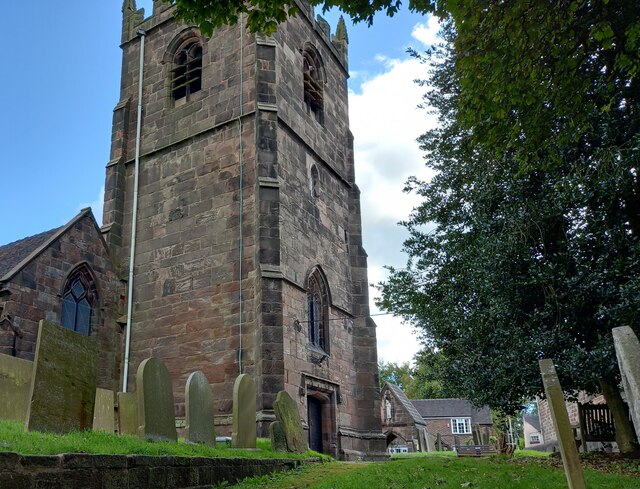
The village itself has a charming and traditional character, with a mix of old stone cottages and more modern housing. It is centered around St. Edward's Church, a beautiful 19th-century building that serves as a focal point for the community. The church features stunning stained glass windows and a peaceful churchyard.
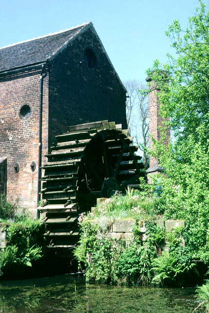
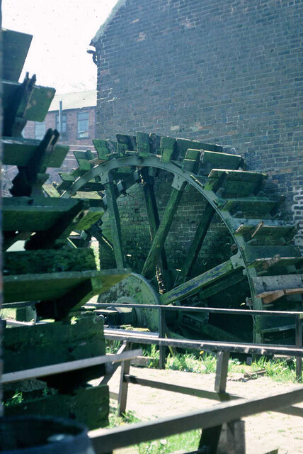
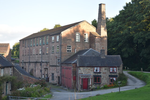
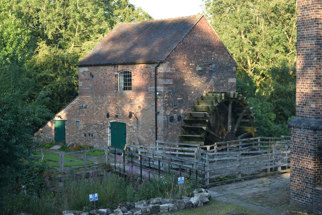
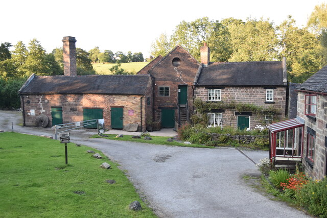
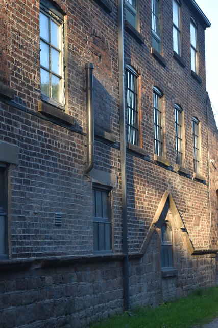
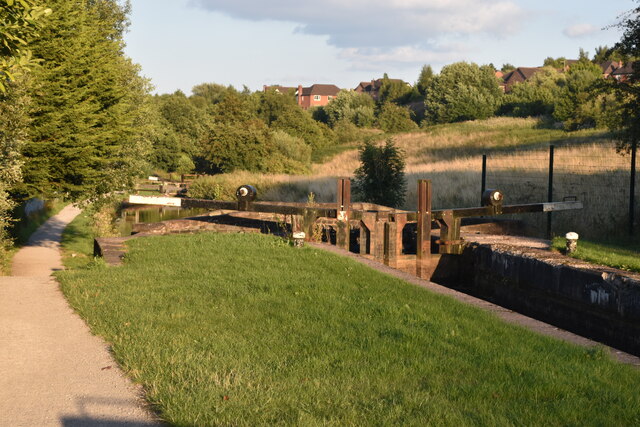
One of the notable attractions in Cheddleton is the Cheddleton Flint Mill, a restored water mill that was once used for grinding flint. It is now a museum that provides insight into the area's industrial heritage. Visitors can explore the mill's machinery and learn about the process of flint grinding.
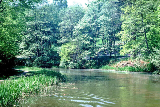
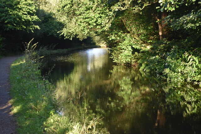
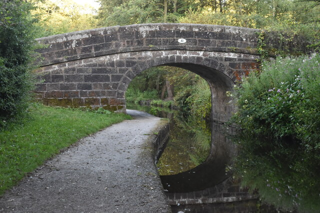
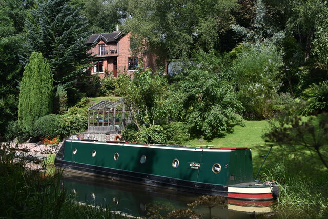
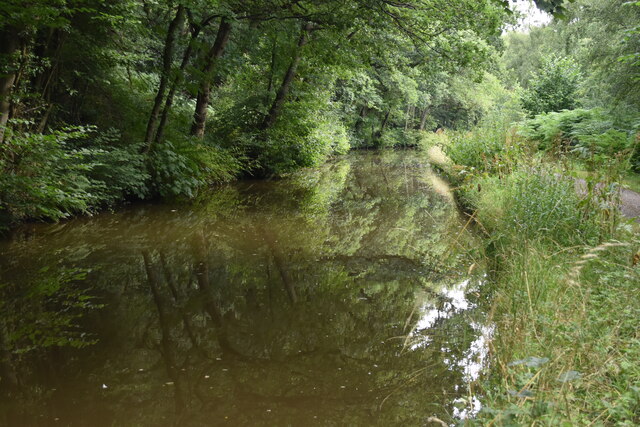
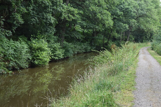
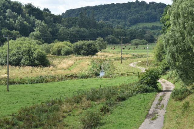
The surrounding countryside offers plenty of opportunities for outdoor activities, including walking, cycling, and fishing. The nearby Churnet Valley Railway is also a popular attraction, offering steam train rides through the picturesque Churnet Valley.
Overall, Cheddleton is a peaceful and historic village, with a strong sense of community and a range of attractions for visitors to enjoy.
If you have any feedback on the listing, please let us know in the comments section below.
Cheddleton Images
Images are sourced within 2km of 53.065092/-2.041931 or Grid Reference SJ9751. Thanks to Geograph Open Source API. All images are credited.
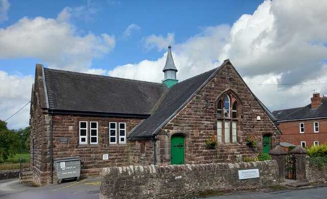
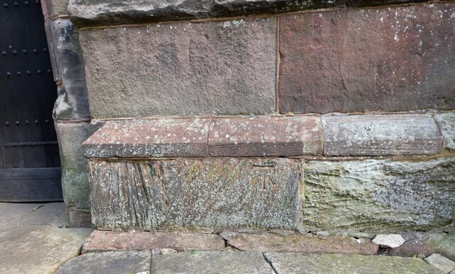
![Cheddleton, old school There is a benchmark cut into the south-east face of the old school [now a tearoom]. It is to the left of the building.](https://s3.geograph.org.uk/geophotos/07/00/51/7005111_d5b79137.jpg)
Cheddleton is located at Grid Ref: SJ9751 (Lat: 53.065092, Lng: -2.041931)
Administrative County: Staffordshire
District: Staffordshire Moorlands
Police Authority: Staffordshire
What 3 Words
///pylons.hacking.relishes. Near Cheddleton, Staffordshire
Nearby Locations
Related Wikis

Cheddleton
Cheddleton is an ancient parish and village in the Staffordshire Moorlands, near to the town of Leek, England. == History == The village is divided into...

Cheddleton Flint Mill
Cheddleton Flint Mill is a water mill situated in the village of Cheddleton in the English county of Staffordshire. The mill race takes water from the...

Ashcombe Park, Staffordshire
Ashcombe Park is a country house and estate near Cheddleton, in Staffordshire, England. The house is a Grade II* listed building, listed on 2 May 1953...
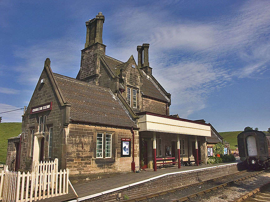
Cheddleton railway station
Cheddleton railway station is a former passenger railway station of the North Staffordshire Railway (NSR) and is now a preserved station on the Churnet...

Churnet Valley Railway
The Churnet Valley Railway is a preserved standard gauge heritage railway in the Staffordshire Moorlands of Staffordshire, England. It operates on part...

St Edwards Hospital tramway
The St Edward's Hospital tramway was a tramway built for Staffordshire County Council for the construction of the St Edward's County Mental Asylum at Cheddleton...

St Edward's Hospital
St Edward's Hospital was a mental health facility at Cheddleton in Staffordshire, England. The hospital closed in 2002 and was converted into apartments...

Deep Hayes Country Park
Deep Hayes Country Park is a country park in Staffordshire, England. It is about 3 miles (4.8 km) south-west of Leek, a short distance south of the A53...
Nearby Amenities
Located within 500m of 53.065092,-2.041931Have you been to Cheddleton?
Leave your review of Cheddleton below (or comments, questions and feedback).