Cheddington
Civil Parish in Buckinghamshire
England
Cheddington

Cheddington is a civil parish located in the Aylesbury Vale district of Buckinghamshire, England. It is situated approximately 5 miles southeast of the town of Leighton Buzzard and 8 miles west of the town of Tring. The village is nestled in the beautiful Chiltern Hills, an Area of Outstanding Natural Beauty, providing residents and visitors with stunning views and access to scenic countryside.
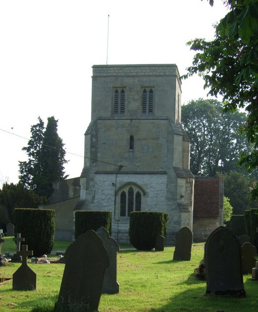
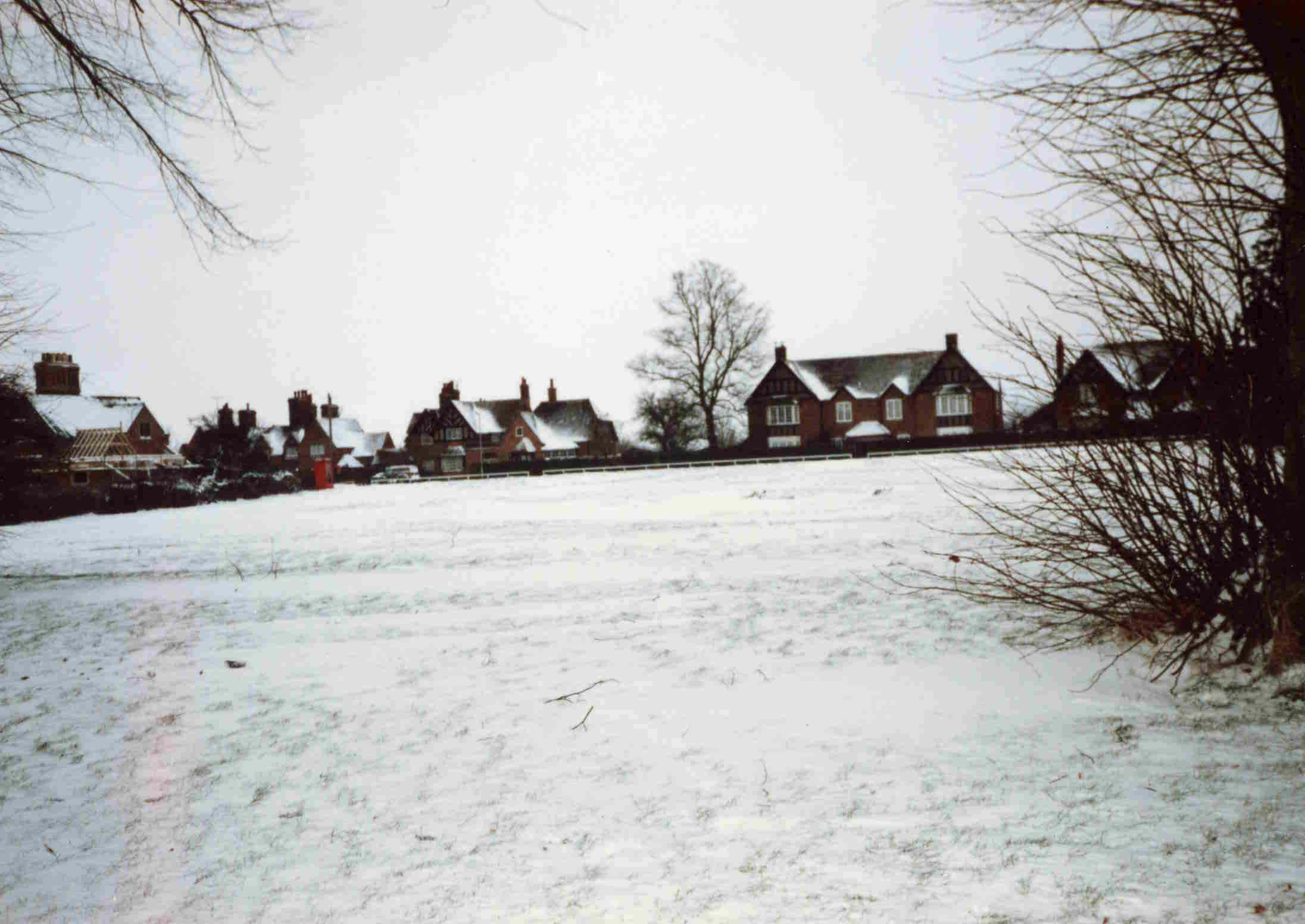
Cheddington has a population of around 1,000 people and is known for its charming rural character. The village is predominantly residential, with a mix of traditional cottages and modern houses. The local community is close-knit and offers a variety of amenities, including a village hall, post office, primary school, and a historic parish church.
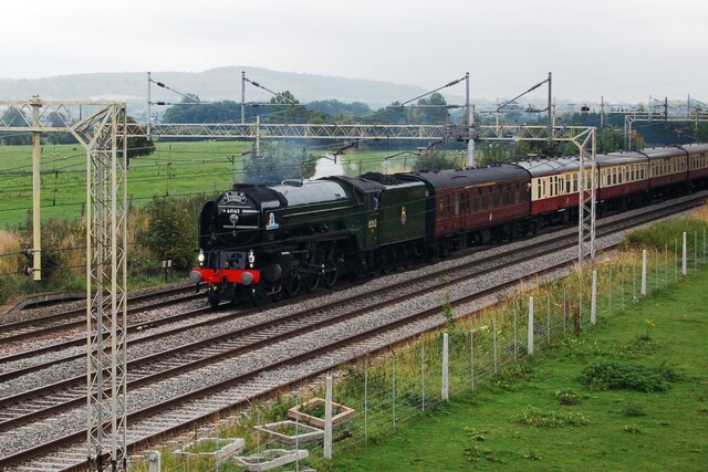
Transport links in Cheddington are excellent, with the village being served by Cheddington railway station. This station provides regular services to London Euston, making it an ideal location for commuters. The village is also well-connected by road, with the A41 and A418 nearby, providing easy access to surrounding towns and cities.
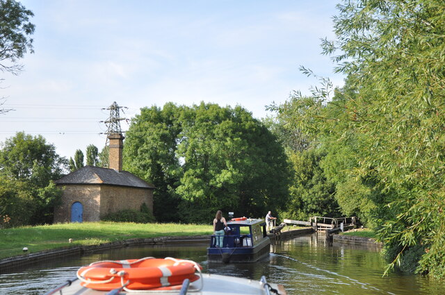
For outdoor enthusiasts, Cheddington offers a range of activities and attractions. The Grand Union Canal runs through the village, offering picturesque walks, cycling routes, and opportunities for boating. The nearby Ashridge Estate and Wendover Woods provide further options for exploring the natural beauty of the area.
Overall, Cheddington is a picturesque village with a strong sense of community and a wealth of natural beauty on its doorstep. It offers a peaceful and idyllic setting for residents and visitors alike.
If you have any feedback on the listing, please let us know in the comments section below.
Cheddington Images
Images are sourced within 2km of 51.849278/-0.669509 or Grid Reference SP9117. Thanks to Geograph Open Source API. All images are credited.


Cheddington is located at Grid Ref: SP9117 (Lat: 51.849278, Lng: -0.669509)
Unitary Authority: Buckinghamshire
Police Authority: Thames Valley
What 3 Words
///trusts.gracing.nets. Near Cheddington, Buckinghamshire
Nearby Locations
Related Wikis
Cheddington
Cheddington is a village and civil parish in the Buckinghamshire district of the ceremonial county of Buckinghamshire, England. The parish has an area...
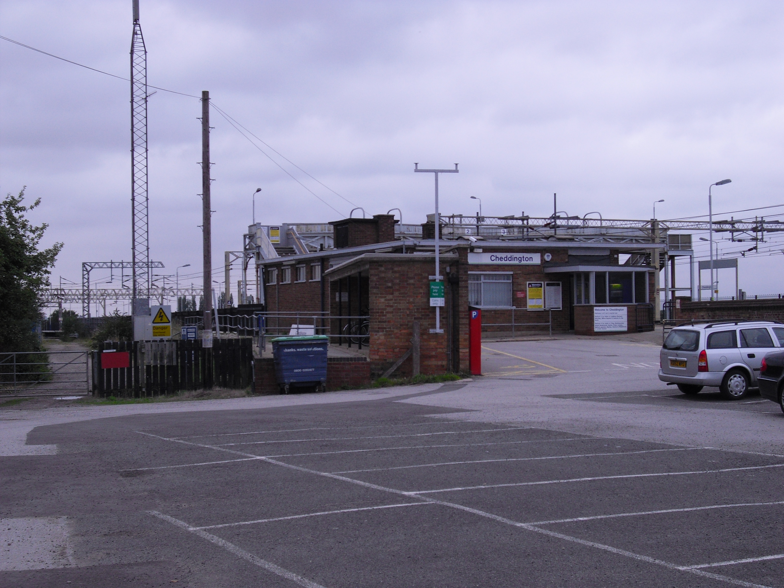
Cheddington railway station
Cheddington railway station serves the village of Cheddington, in Buckinghamshire, England, and the surrounding villages, including Ivinghoe and Mentmore...

Cooks Wharf
Cooks Wharf is a hamlet in the parish of Cheddington, in Buckinghamshire, England. It is located where the main road into Cheddington from Pitstone crosses...

RAF Cheddington
Royal Air Force Cheddington or more simply RAF Cheddington (also known as RAF Marsworth) is a former Royal Air Force station located 1 mile (1.6 km) south...

Horton, Buckinghamshire
Horton is a hamlet in the parish of Ivinghoe, in Buckinghamshire, England. It is in the civil parish of Slapton. The name Horton is a common one in England...
Grand Junction Canal
The Grand Junction Canal is a canal in England from Braunston in Northamptonshire to the River Thames at Brentford, with a number of branches. The mainline...
Pitstone & Ivinghoe F.C.
Pitstone & Ivinghoe Football Club are a football club based in Pitstone, near Leighton Buzzard, England. They are members of the Spartan South Midlands...
Mentmore
Mentmore is a village and civil parish in the Aylesbury Vale district of Buckinghamshire, England. It is about three miles east of Wingrave, three miles...
Nearby Amenities
Located within 500m of 51.849278,-0.669509Have you been to Cheddington?
Leave your review of Cheddington below (or comments, questions and feedback).