Cheddar
Civil Parish in Somerset Sedgemoor
England
Cheddar
Cheddar is a civil parish located in the county of Somerset, England. Situated on the southern edge of the Mendip Hills, it is approximately 14 miles southwest of the city of Bristol. The parish covers an area of about 29 square kilometers and has a population of around 6,000 people.
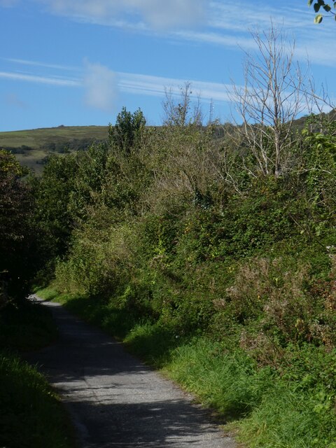
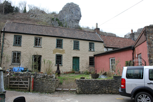
Cheddar is most famous for its spectacular natural feature, Cheddar Gorge. This limestone gorge is one of Britain's greatest natural wonders, attracting thousands of visitors each year. The gorge is home to several caves, including Gough's Cave, which is known for its prehistoric remains and impressive stalactite formations. Additionally, Cheddar is renowned for its Cheddar cheese, a popular dairy product that originated in the area and continues to be produced here.
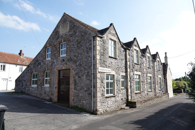
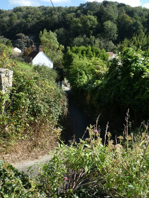
The village of Cheddar itself is a charming and historic settlement, with a rich heritage dating back to medieval times. It features a mix of traditional stone cottages, historic buildings, and modern amenities. The parish also includes several other smaller settlements, such as Upper and Lower Coxley, Draycott, and Axbridge, each with its own distinct character and charm.
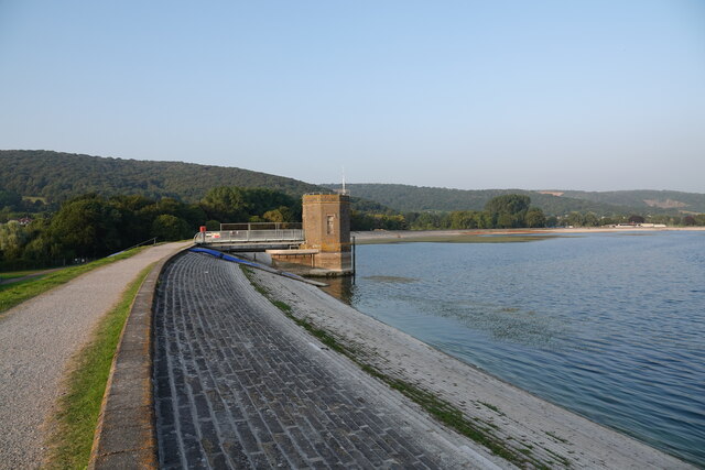
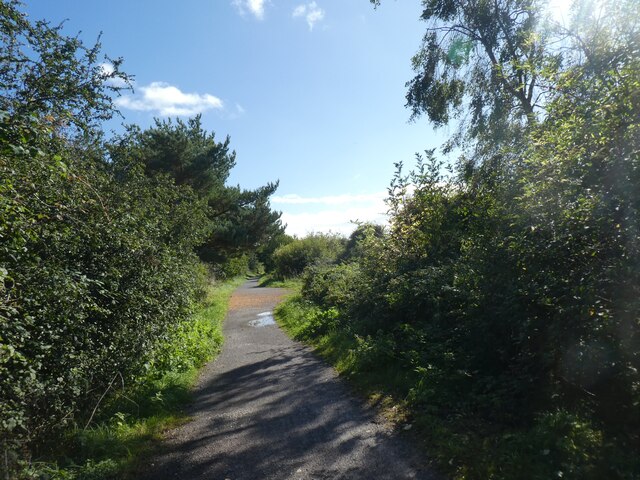
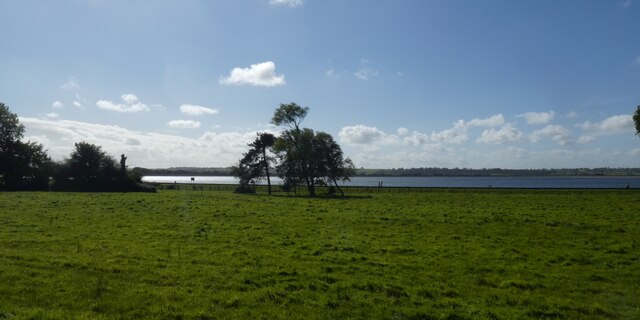
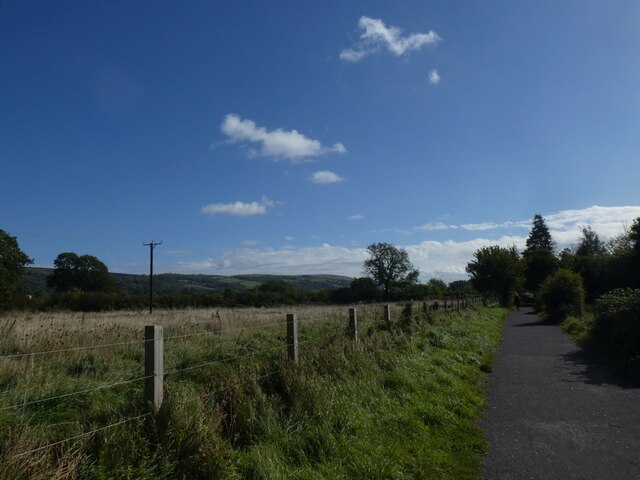
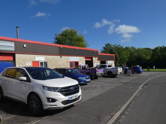
Cheddar offers a range of recreational activities and amenities for both residents and visitors. The surrounding countryside provides ample opportunities for hiking, cycling, and exploring the Mendip Hills. The village also boasts a variety of shops, cafes, and restaurants, as well as a primary school, community center, and sports facilities.
Overall, Cheddar is a picturesque and vibrant civil parish that combines natural beauty, historical significance, and a thriving community, making it a popular destination for tourists and a desirable place to live.
If you have any feedback on the listing, please let us know in the comments section below.
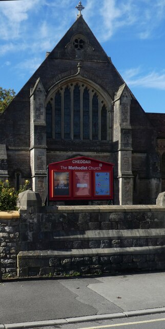
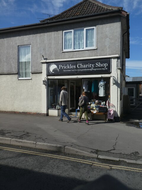
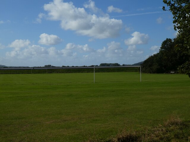
Cheddar Images
Images are sourced within 2km of 51.277744/-2.772327 or Grid Reference ST4653. Thanks to Geograph Open Source API. All images are credited.


Cheddar is located at Grid Ref: ST4653 (Lat: 51.277744, Lng: -2.772327)
Administrative County: Somerset
District: Sedgemoor
Police Authority: Avon and Somerset
What 3 Words
///quietest.thudding.tungsten. Near Cheddar, Somerset
Nearby Locations
Related Wikis

Fairlands Middle School
Fairlands Middle School is a coeducational middle school with roughly 522 pupils aged between 9 and 13 in 2012, located in Cheddar, Somerset, England....
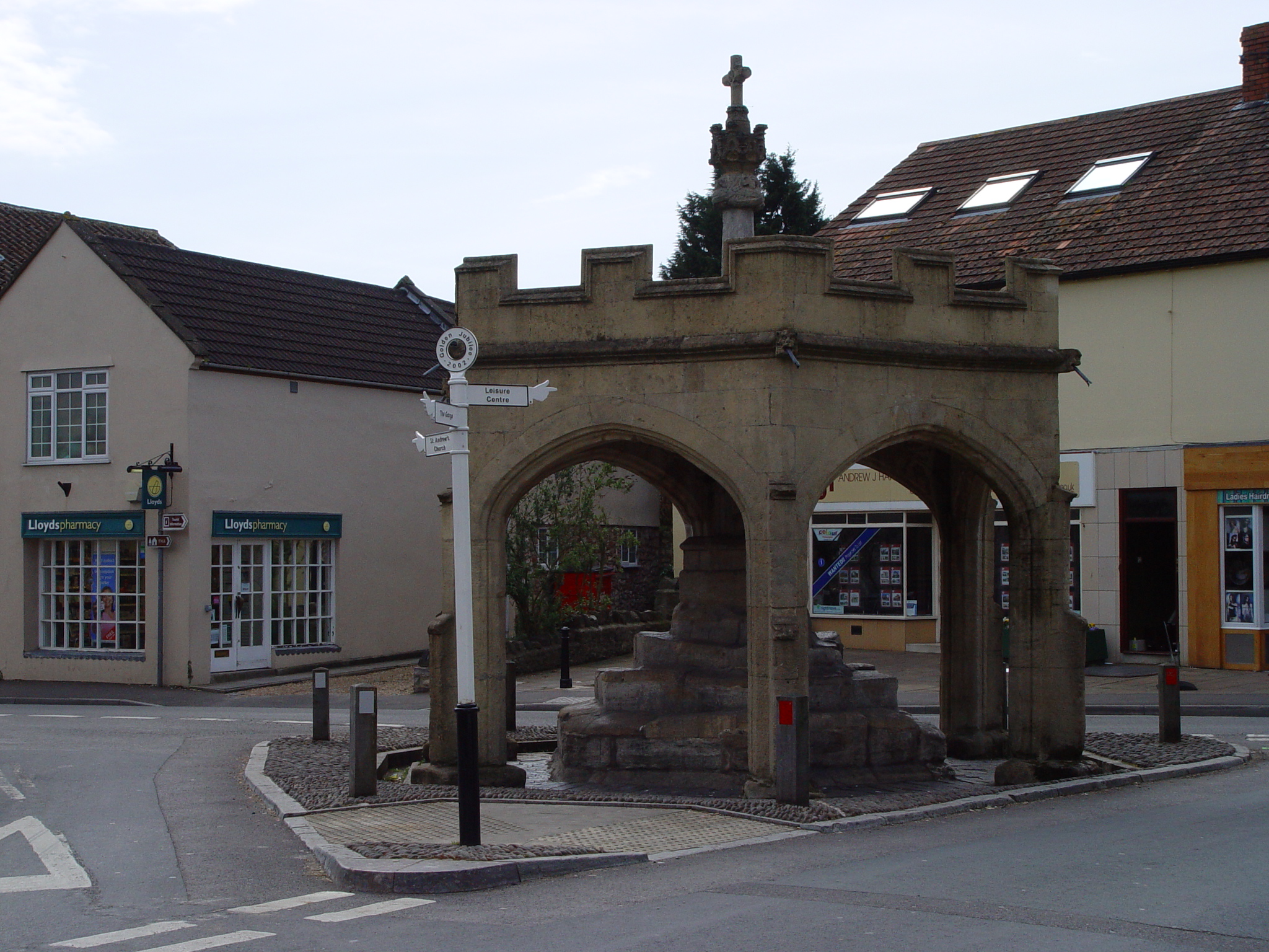
Market Cross, Cheddar
Cheddar Market Cross in the village of Cheddar within the English county of Somerset, England dates from the 15th century. It is a Scheduled Ancient Monument...

Cheddar, Somerset
Cheddar is a large village and civil parish in the English county of Somerset. It is situated on the southern edge of the Mendip Hills, 9 miles (14 km...

Cheddar Complex
The Cheddar Complex is a 441.3-hectare (1,090-acre) biological Site of Special Scientific Interest near Cheddar around the Cheddar Gorge and north east...
Nearby Amenities
Located within 500m of 51.277744,-2.772327Have you been to Cheddar?
Leave your review of Cheddar below (or comments, questions and feedback).