Bradley Cross
Settlement in Somerset Sedgemoor
England
Bradley Cross
Bradley Cross is a small village located in the county of Somerset, England. Situated just a few miles north of the town of Taunton, Bradley Cross is a rural community surrounded by picturesque countryside and farmland. The village is part of the larger civil parish of West Monkton.
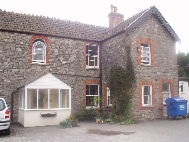
With a population of around 500 residents, Bradley Cross retains a close-knit and friendly atmosphere. It is primarily a residential area, characterized by charming cottages and traditional houses. The village is known for its peaceful and idyllic setting, offering residents a tranquil retreat from the hustle and bustle of urban life.
Despite its small size, Bradley Cross is well-served by amenities. The village boasts a local pub, the Bradley Cross Inn, which serves as a popular gathering spot for locals and visitors alike. Additionally, there is a village hall that hosts various community events and activities throughout the year.
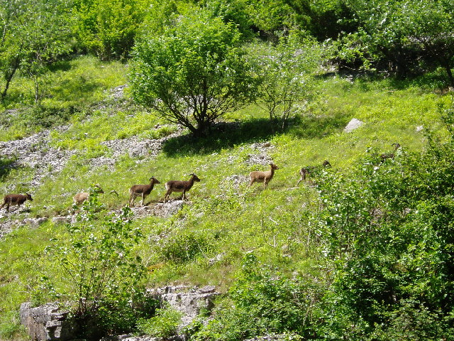
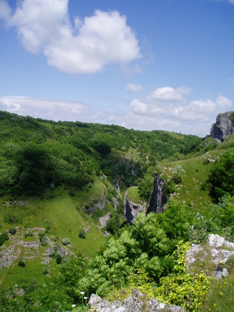
The surrounding countryside provides ample opportunities for outdoor pursuits, such as hiking, cycling, and horse riding. Several public footpaths and bridleways crisscross the area, allowing residents to explore the stunning natural beauty of Somerset.
Bradley Cross benefits from its proximity to Taunton, where residents can access a wider range of amenities, including schools, shops, and healthcare services. The village also enjoys good transportation links, with easy access to major roads and the nearby Taunton railway station.
In conclusion, Bradley Cross offers a charming and peaceful village lifestyle, set amidst the scenic beauty of Somerset. With its strong sense of community and access to nearby amenities, it provides a desirable location for those seeking a rural retreat in the heart of England.
If you have any feedback on the listing, please let us know in the comments section below.
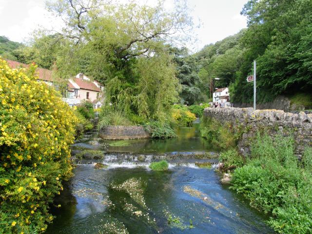
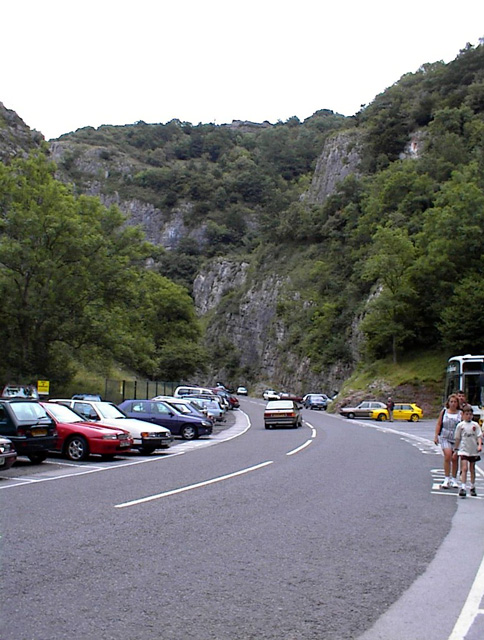
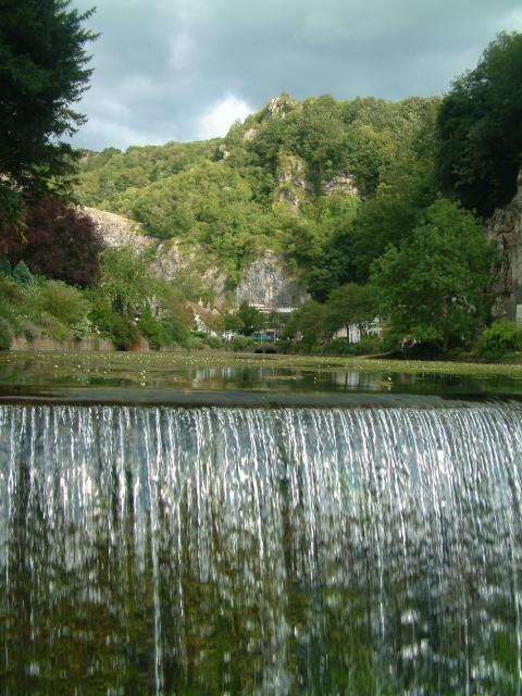
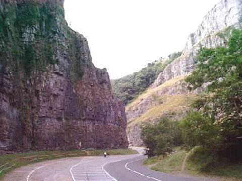
Bradley Cross Images
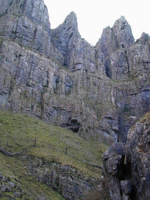
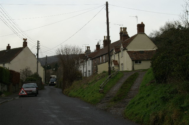
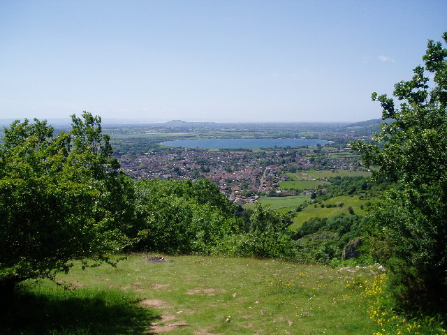
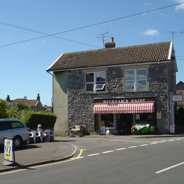
Images are sourced within 2km of 51.275142/-2.761789 or Grid Reference ST4653. Thanks to Geograph Open Source API. All images are credited.


Bradley Cross is located at Grid Ref: ST4653 (Lat: 51.275142, Lng: -2.761789)
Administrative County: Somerset
District: Sedgemoor
Police Authority: Avon and Somerset
What 3 Words
///forever.birds.hockey. Near Bradley Cross, Somerset
Nearby Locations
Related Wikis

Fairlands Middle School
Fairlands Middle School is a coeducational middle school with roughly 522 pupils aged between 9 and 13 in 2012, located in Cheddar, Somerset, England....

Gough's Cave
Gough's Cave ( GOF) is located in Cheddar Gorge on the Mendip Hills, in Cheddar, Somerset, England. The cave is 115 m (377 ft) deep and is 3.405 km (2...

Cheddar Complex
The Cheddar Complex is a 441.3-hectare (1,090-acre) biological Site of Special Scientific Interest near Cheddar around the Cheddar Gorge and north east...
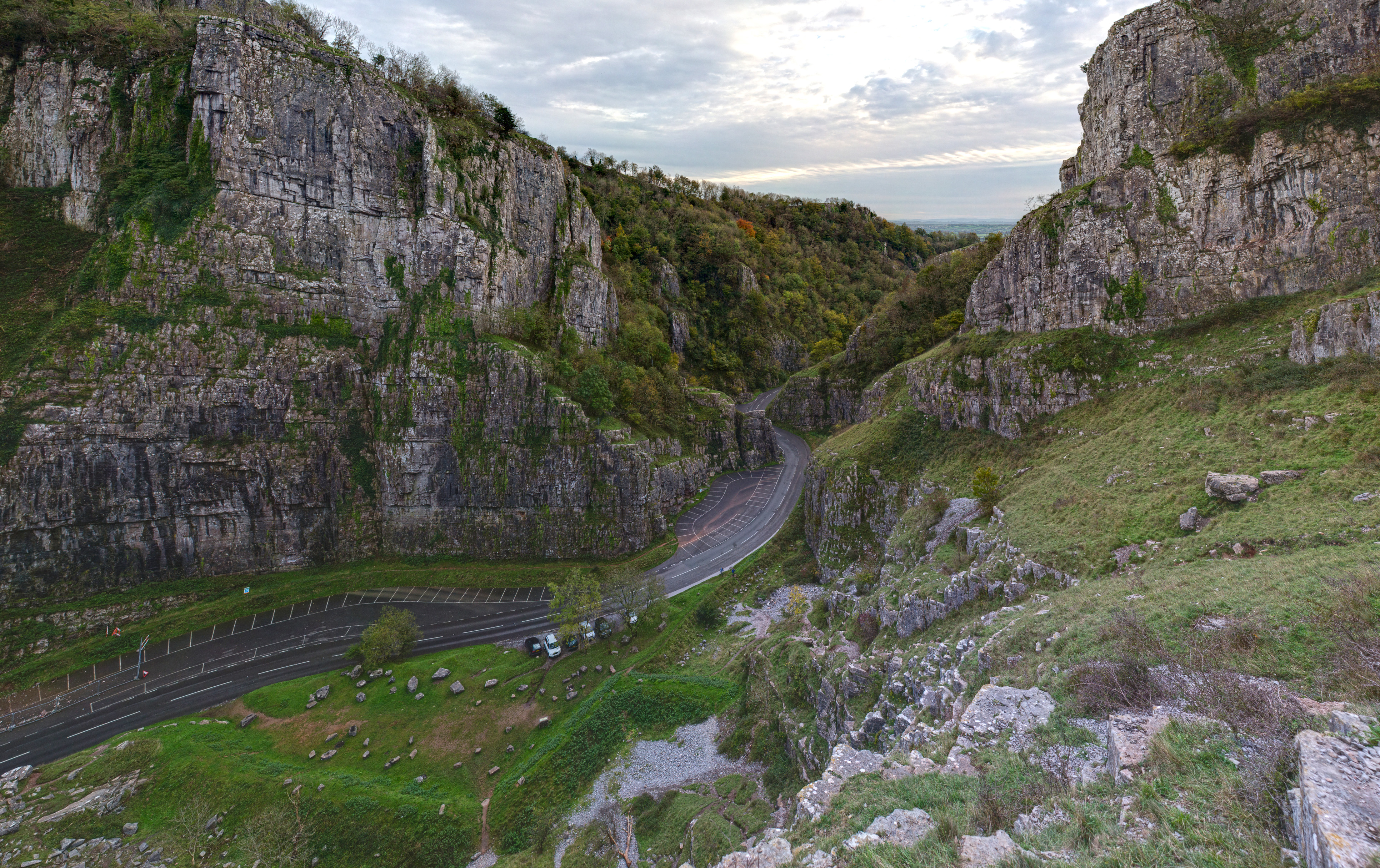
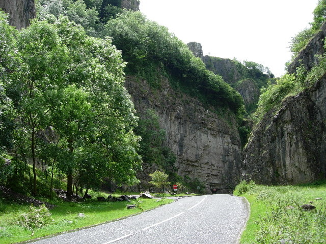
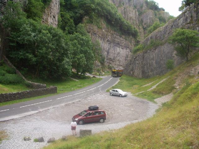
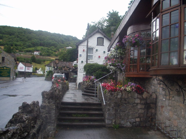
Cheddar Gorge
Cheddar Gorge is a limestone gorge in the Mendip Hills, near the village of Cheddar, Somerset, England. The gorge is the site of the Cheddar show caves...

Cox's Cave
Cox's Cave is in Cheddar Gorge on the Mendip Hills, in Somerset, England. It is open to the public as a show cave. The cave is named after mill owner George...
Cheddar A.F.C.
Cheddar Association Football Club is a football club based in Cheddar, near Wells in Somerset, England. They are currently members of the Western League...

St Andrew's Church, Cheddar
The Church of St Andrew in Cheddar, Somerset, England dates from the 14th century and has been designated as a Grade I listed building.The church was restored...
Cheddar Ales
Cheddar Ales is an independent, artisanal brewery located in the village of Cheddar in Somerset, England, which produces a range of regular and seasonal...
Nearby Amenities
Located within 500m of 51.275142,-2.761789Have you been to Bradley Cross?
Leave your review of Bradley Cross below (or comments, questions and feedback).