Common Plantation

Wood, Forest in Norfolk South Norfolk

England

Common Plantation

Norwich High School war memorial at Langley School
Norwich High School war memorial at Langley School Credit: Helen Steed

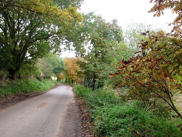
Common Plantation, Norfolk, also known as Wood or Forest, is a large forested area located in the county of Norfolk, England. The plantation covers an extensive area of land, spanning several hectares, and is characterized by its dense and diverse vegetation.

The plantation is home to a wide variety of plant species, including oak, birch, beech, and pine trees, which create a lush and verdant landscape. The forest floor is covered with a thick carpet of mosses, ferns, and wildflowers, adding to the overall beauty and biodiversity of the area.

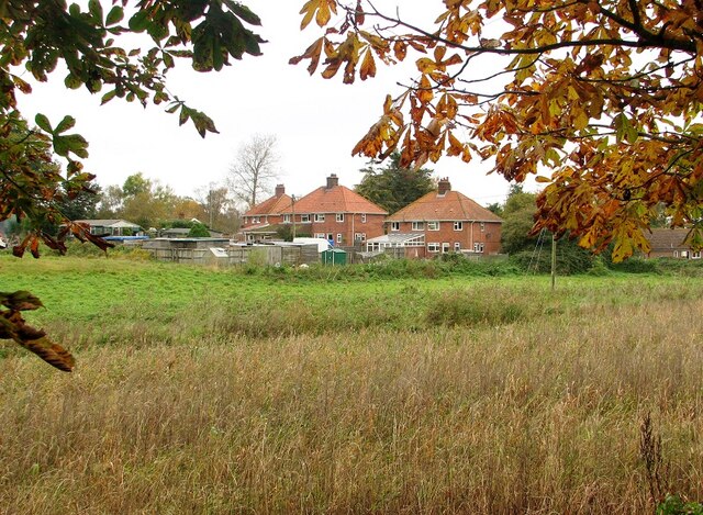
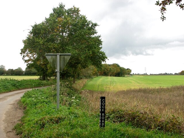
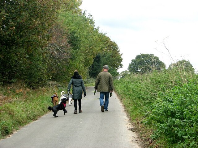
Common Plantation is a popular destination for nature enthusiasts and outdoor enthusiasts alike. The forest offers numerous walking trails and paths, allowing visitors to explore its natural beauty and enjoy the tranquility of the surroundings. Wildlife is abundant in the plantation, with sightings of deer, foxes, rabbits, and a variety of bird species being common.

The plantation is also of historical significance, with evidence of human habitation dating back centuries. Archaeological discoveries, such as ancient burial mounds and pottery fragments, have been made within the plantation, providing insights into the region's past.

Common Plantation, Norfolk offers a peaceful retreat from the hustle and bustle of everyday life, providing a haven for nature lovers and a glimpse into the rich history of the area. Whether one seeks a leisurely walk amidst the trees or a deeper exploration of the region's heritage, Common Plantation is a destination that offers something for everyone.

If you have any feedback on the listing, please let us know in the comments section below.

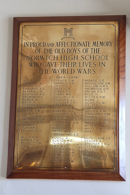
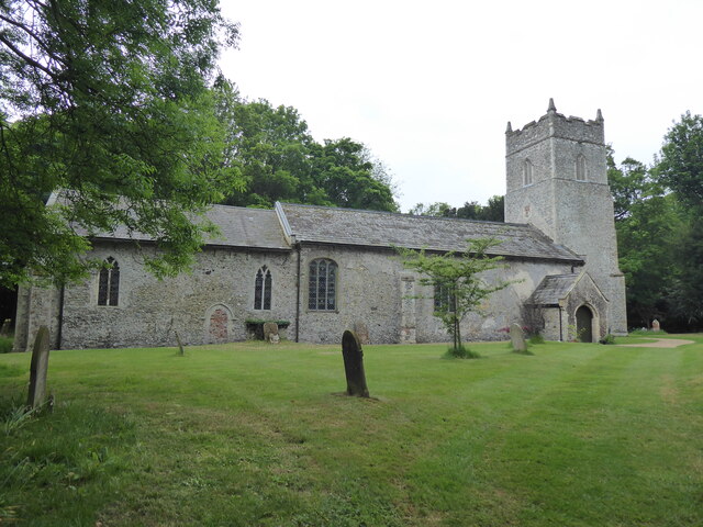
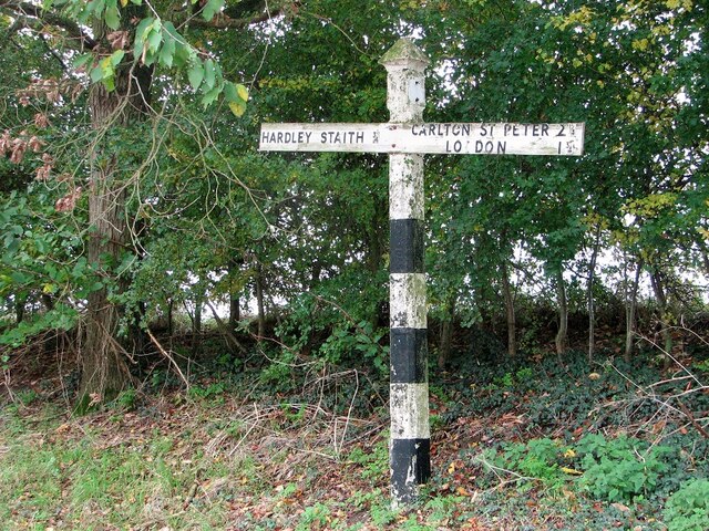
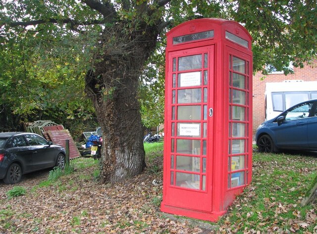
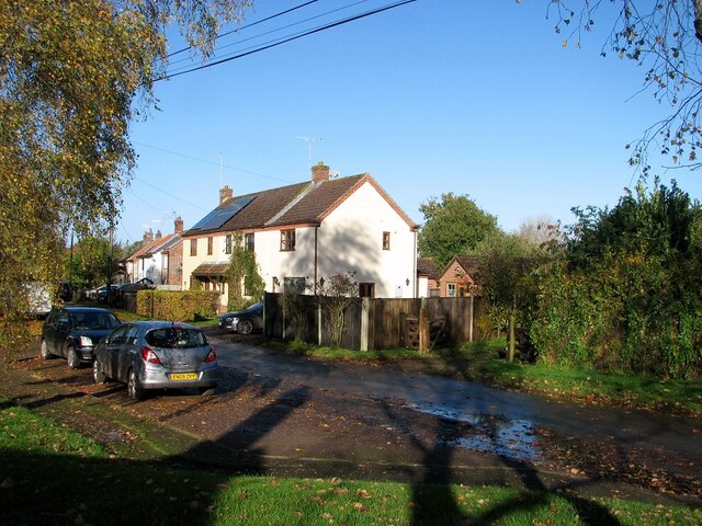
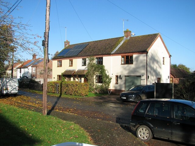
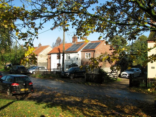
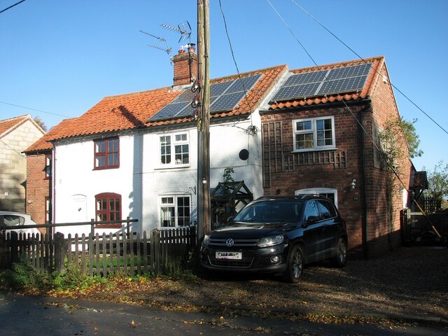
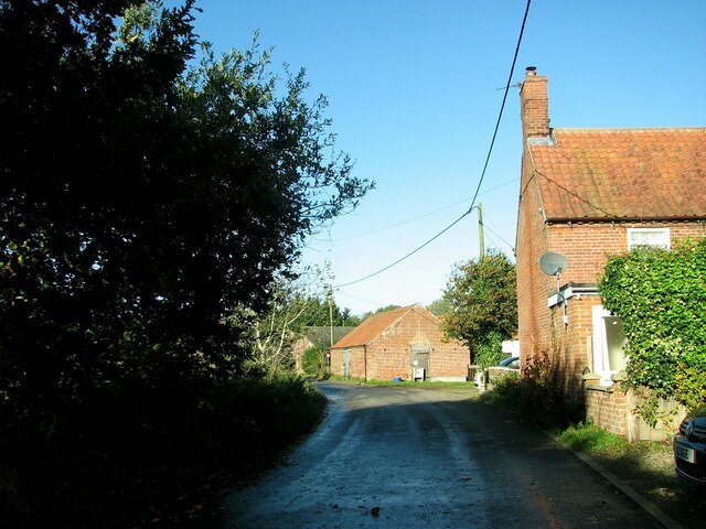
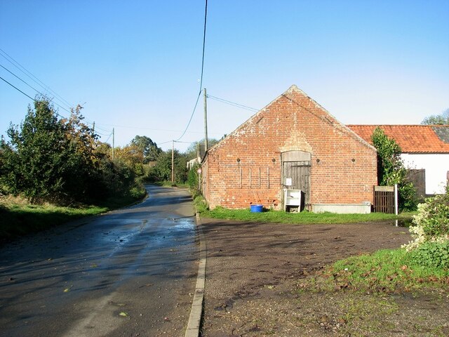
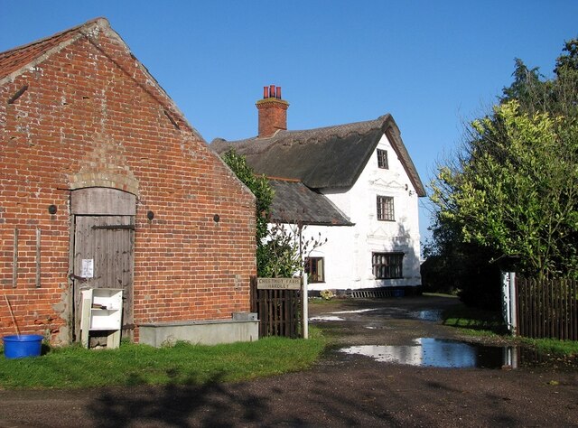
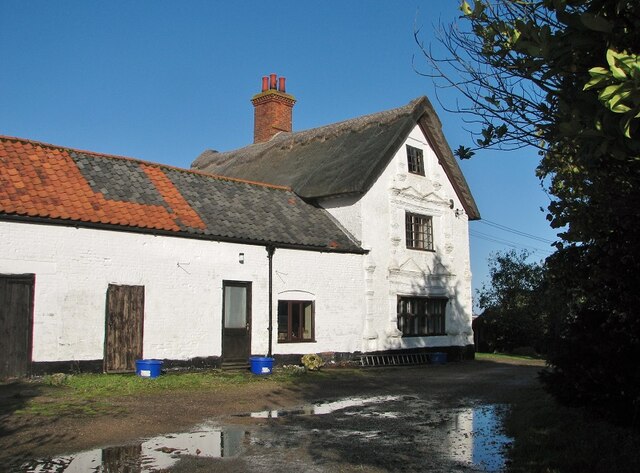
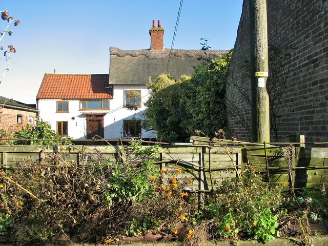
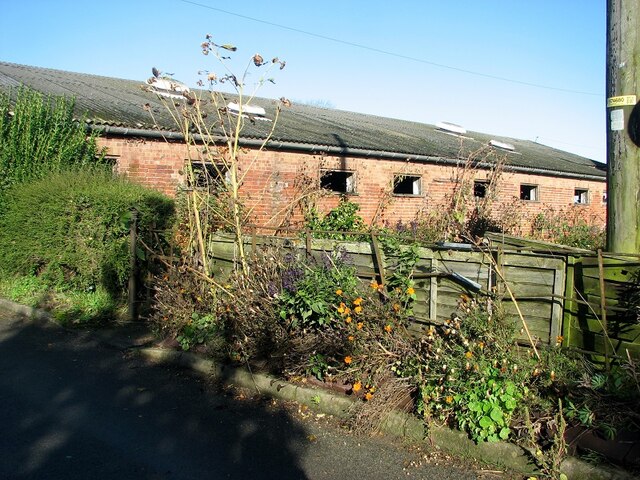
Common Plantation Images

Images are sourced within 2km of 52.546052/1.4769242 or Grid Reference TM3599. Thanks to Geograph Open Source API. All images are credited.

Norwich High School war memorial at Langley School
Langley, St Michael
Langley, St Michael
Old road sign by the junction The sign stands at the junction of Hardley Street, Hardley Road and Cross Stone Road
Old road sign by the junction
The sign stands at the junction of Hardley Street, Hardley Road and Cross Stone Road
Telephone kiosk converted to local book exchange
Cross Stone Road to Chedgrave
Houses in Hardley Road
View along Cock Road The road is named after a long closed pub   >  <a title="https://www.geograph.org.uk/photo/5892686" href="https://www.geograph.org.uk/photo/5892686">Link</a> which used to be located alongside it.
View along Cock Road
The road is named after a long closed pub > Link which used to be located alongside it.
Dog walkers on Cross Stone Road
Hardley Road, The Old Forge The building's name indicates that it once used to be the hamlet's forge.
Hardley Road, The Old Forge
The building's name indicates that it once used to be the hamlet's forge.
The Old Forge in Hardley Road Converted into two private dwellings.
The Old Forge in Hardley Road
Converted into two private dwellings.
Cottages in Hardley Road
35 Hardley Road
35 Hardley Road
Hardley Road past Chestnut Farm
Outbuildings by Chestnut Farm Note the honesty stall.
Outbuildings by Chestnut Farm
Note the honesty stall.
Entrance to Chestnut Farm
Chestnut Farm, the farm house This farmhouse dates from the 17th century and later.  It is of colourwashed brick and has 
 thatched and pantiled roofs, two storeys and an attic.   The windows have six lights with ovolo moulded mullions and transoms and iron casements in raised an moulded brick surround, with banded pilasters with knopped finials and twin bases.   The building is Grade II listed.
Chestnut Farm, the farm house
This farmhouse dates from the 17th century and later. It is of colourwashed brick and has thatched and pantiled roofs, two storeys and an attic. The windows have six lights with ovolo moulded mullions and transoms and iron casements in raised an moulded brick surround, with banded pilasters with knopped finials and twin bases. The building is Grade II listed.
Chestnut Farm, the farm house This, farmhouse dates from the 17th century and later.  It is of colourwashed brick and has 
 thatched and pantiled roofs, two storeys and an attic.   The windows have six lights with ovolo moulded mullions and transoms and iron casements in raised an moulded brick surround, with banded pilasters with knopped finials and twin bases.   The building is Grade II listed.  Depicted here is the north side of the building which is later than C17.
Chestnut Farm, the farm house
This, farmhouse dates from the 17th century and later. It is of colourwashed brick and has thatched and pantiled roofs, two storeys and an attic. The windows have six lights with ovolo moulded mullions and transoms and iron casements in raised an moulded brick surround, with banded pilasters with knopped finials and twin bases. The building is Grade II listed. Depicted here is the north side of the building which is later than C17.
Outbuilding at Chestnut Farm
Show me another place!

Common Plantation is located at Grid Ref: TM3599 (Lat: 52.546052, Lng: 1.4769242)

Administrative County: Norfolk

District: South Norfolk

Police Authority: Norfolk

What 3 Words

///assembles.prevents.slicing. Near Loddon, Norfolk

Related Wikis

Chedgrave

Chedgrave is a village and civil parish in English county of Norfolk. Chedgrave is separated from nearby Loddon by the River Chet. == History == Chedgrave...

Langley Hall

Langley Hall is a red-brick building in the Palladian style, formerly a country house but now a private school, located near Loddon, Norfolk, England....

Langley School, Loddon

Langley School is an HMC independent co educational day, weekly, flexi and full boarding school situated near the market town of Loddon in South Norfolk...

A146 road

The A146 is an A road that connects Norwich in Norfolk and Lowestoft in Suffolk, two of East Anglia's largest population centres. It is around 27 miles...

Nearby Amenities

Located within 500m of 52.546052,1.4769242
Bus Stop
Beauchamp Close, opp
Bus: yes
Naptan AtcoCode: 2900C155
Naptan Bearing: S
Naptan BusStopType: CUS
Naptan CommonName: Beauchamp Close
Naptan Indicator: opp
Naptan Locality: Chedgrave
Naptan NaptanCode: nfogtdmp
Naptan Street: Proctor Avenue
Naptan Verified: no
Public Transport: platform
Source: naptan_import
Lat/Long: 52.5448672/1.4797772
Give Way
Lat/Long: 52.5444979/1.4816867
Bench
Backrest: no
Material: wood
Seats: 2
Lat/Long: 52.5480349/1.4788537
Barrier: cycle_barrier
Bicycle: no
Lat/Long: 52.5445838/1.4815152
Give Way
Lat/Long: 52.5443946/1.4819755
Give Way
Lat/Long: 52.5456314/1.4837219
Barrier: cycle_barrier
Bicycle: no
Lat/Long: 52.5449239/1.4836116
Give Way
Lat/Long: 52.5446615/1.482933
The data included in this document is from www.openstreetmap.org. The data is made available under ODbL.

Have you been to Common Plantation?

Leave your review of Common Plantation below (or comments, questions and feedback).