Buck's Hill
Hill, Mountain in Norfolk South Norfolk
England
Buck's Hill

Buck's Hill is a prominent hill located in the county of Norfolk, England. Standing at an elevation of approximately 148 meters (485 feet), it is classified as a hill rather than a mountain due to its moderate height. The hill is situated near the village of West Runton, about 6 kilometers (3.7 miles) east of the town of Cromer.
Buck's Hill offers breathtaking panoramic views of the surrounding Norfolk countryside, making it a popular destination for nature enthusiasts, hikers, and photographers. The hill is characterized by its gentle slopes, covered in lush green grass and dotted with occasional trees, providing a picturesque setting.
The area surrounding Buck's Hill is known for its rich biodiversity. The hill is home to a variety of plant and animal species, including wildflowers, rabbits, and various bird species. During the spring and summer months, the hillside transforms into a vibrant tapestry of colors, with wildflowers in full bloom.
Visitors can access Buck's Hill via footpaths and trails that wind through the countryside, providing an opportunity to explore the area's natural beauty. The hill is also a popular spot for paragliding and kite flying enthusiasts, who take advantage of the favorable wind conditions and open spaces.
Overall, Buck's Hill in Norfolk offers a serene and picturesque retreat, allowing visitors to immerse themselves in the tranquility of the countryside while enjoying the stunning vistas it has to offer.
If you have any feedback on the listing, please let us know in the comments section below.
Buck's Hill Images
Images are sourced within 2km of 52.527454/1.4605888 or Grid Reference TM3497. Thanks to Geograph Open Source API. All images are credited.


Buck's Hill is located at Grid Ref: TM3497 (Lat: 52.527454, Lng: 1.4605888)
Administrative County: Norfolk
District: South Norfolk
Police Authority: Norfolk
What 3 Words
///blogging.eternity.another. Near Loddon, Norfolk
Nearby Locations
Related Wikis
Sisland
Sisland, historically Sislanda, is a very small village, manor and parish in the county of Norfolk, England, about a mile west of Loddon. In the 2001 census...

Mundham
Mundham, historically Mundaham or Mundhala, is a small village and civil parish in the county of Norfolk, England. Archaeological and toponymic evidence...
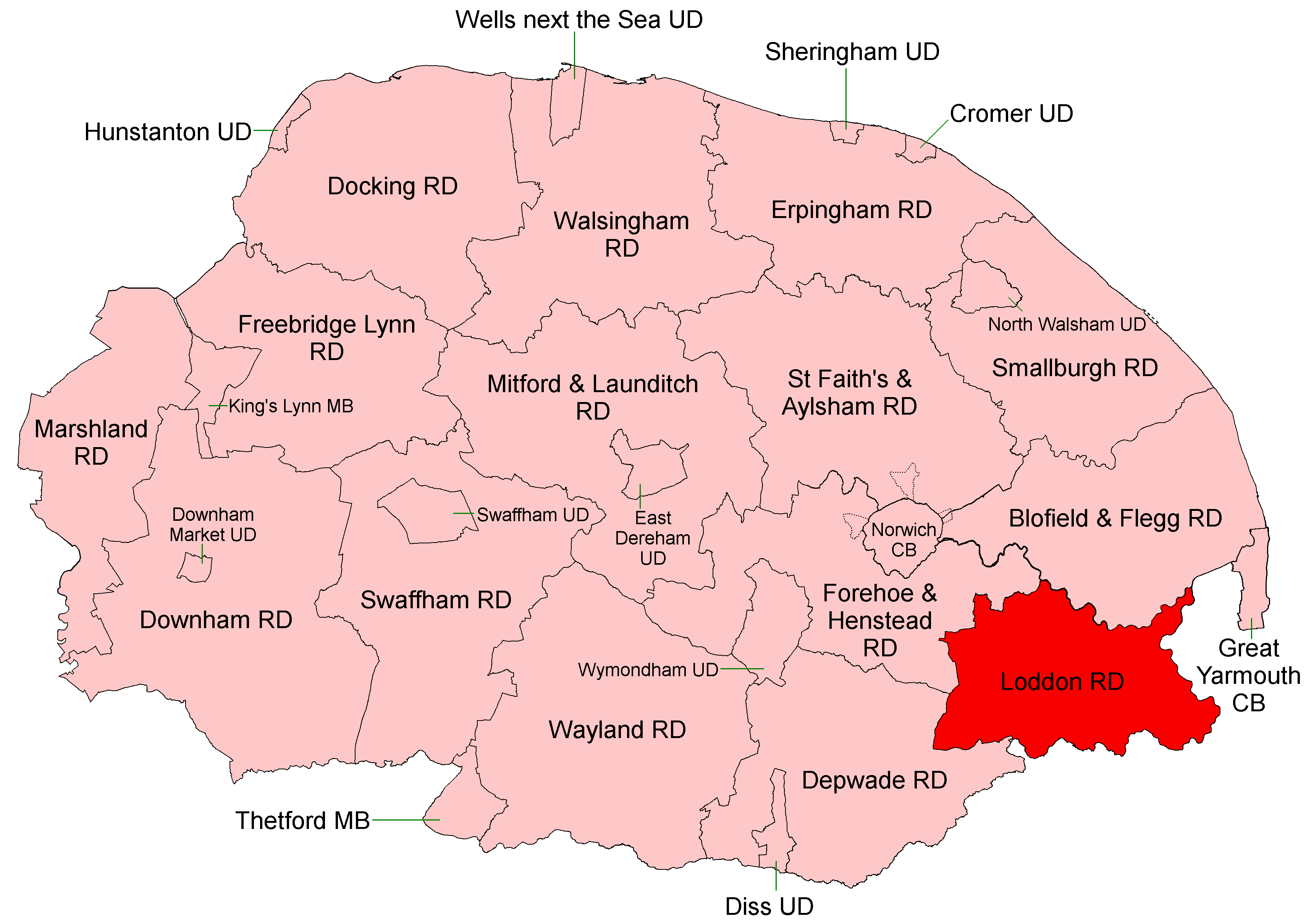
Loddon and Clavering Rural District
Loddon and Clavering Rural District was a rural district in Norfolk, England from 1894 to 1935., continuing, with very slight boundary changes, as Loddon...
Hobart High School, Norfolk
Hobart High School is a coeducational secondary school with academy status, situated in the village of Loddon, near Norwich in Norfolk, England. It typically...

A146 road
The A146 is an A road that connects Norwich in Norfolk and Lowestoft in Suffolk, two of East Anglia's largest population centres. It is around 27 miles...

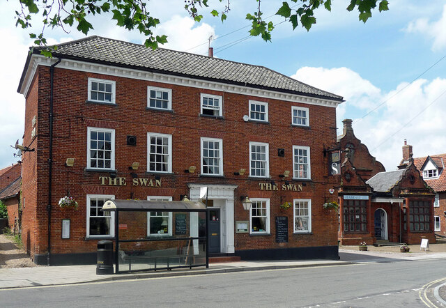
Loddon, Norfolk
Loddon is a town and civil parish in Norfolk, England, about 12 miles (19 km) south-east of Norwich. The town lies on the River Chet, a tributary of the...
Old Town Hall, Loddon
The Old Town Hall is a former events venue in Bridge Street, Loddon, Norfolk, England. The structure, which is currently occupied for commercial use, is...

Chedgrave
Chedgrave is a village and civil parish in English county of Norfolk. Chedgrave is separated from nearby Loddon by the River Chet. == History == Chedgrave...
Nearby Amenities
Located within 500m of 52.527454,1.4605888Have you been to Buck's Hill?
Leave your review of Buck's Hill below (or comments, questions and feedback).