Temple Covert
Wood, Forest in Suffolk East Suffolk
England
Temple Covert

Temple Covert is a serene and picturesque woodland located in the county of Suffolk, England. Stretching across a vast area, this beautiful forest is a haven for nature lovers and outdoor enthusiasts alike. The woodland's name, "Temple Covert," is derived from the Old English term "covert," meaning a sheltered place.
As one steps into Temple Covert, they are greeted by a breathtaking canopy of towering trees, predominantly oak and beech, creating a dense and enchanting atmosphere. The forest floor is adorned with a rich carpet of moss, ferns, and wildflowers, adding to the area's natural beauty.
The diverse ecosystem of Temple Covert supports a wide range of wildlife species. Squirrels can be seen playfully darting between the trees, while elusive deer roam freely through the undergrowth. Birdwatchers are in for a treat, as the woodland is home to several species including woodpeckers, owls, and various songbirds.
For those seeking tranquility and solitude, Temple Covert offers numerous walking trails, allowing visitors to immerse themselves in the peaceful surroundings. These trails wind their way through the forest, taking explorers on a journey through hidden glens, babbling brooks, and secluded clearings.
Temple Covert is not only a natural sanctuary but also a place of historical significance. At its heart stands the ruins of an ancient temple, believed to date back centuries. These ruins serve as a reminder of the area's rich cultural heritage and provide a fascinating glimpse into the past.
In conclusion, Temple Covert in Suffolk is a captivating woodland that offers a delightful escape from the hustle and bustle of everyday life. With its stunning scenery, diverse wildlife, and intriguing history, it is a must-visit destination for nature enthusiasts and history buffs alike.
If you have any feedback on the listing, please let us know in the comments section below.
Temple Covert Images
Images are sourced within 2km of 52.301428/1.4504778 or Grid Reference TM3572. Thanks to Geograph Open Source API. All images are credited.


Temple Covert is located at Grid Ref: TM3572 (Lat: 52.301428, Lng: 1.4504778)
Administrative County: Suffolk
District: East Suffolk
Police Authority: Suffolk
What 3 Words
///scare.crusaders.reviews. Near Cookley, Suffolk
Nearby Locations
Related Wikis
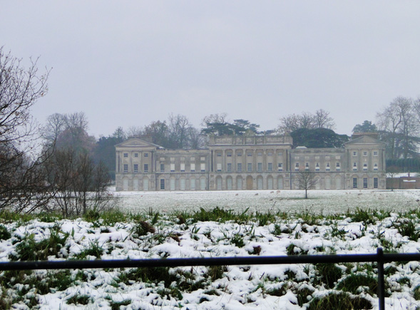
Heveningham Hall
Heveningham Hall is a Grade I listed building in Heveningham, Suffolk, England. The first house on the site was built for the politician and regicide William...

Heveningham
Heveningham is a village and civil parish in the East Suffolk district of Suffolk in eastern England. Located four miles south-west of Halesworth, in 2005...
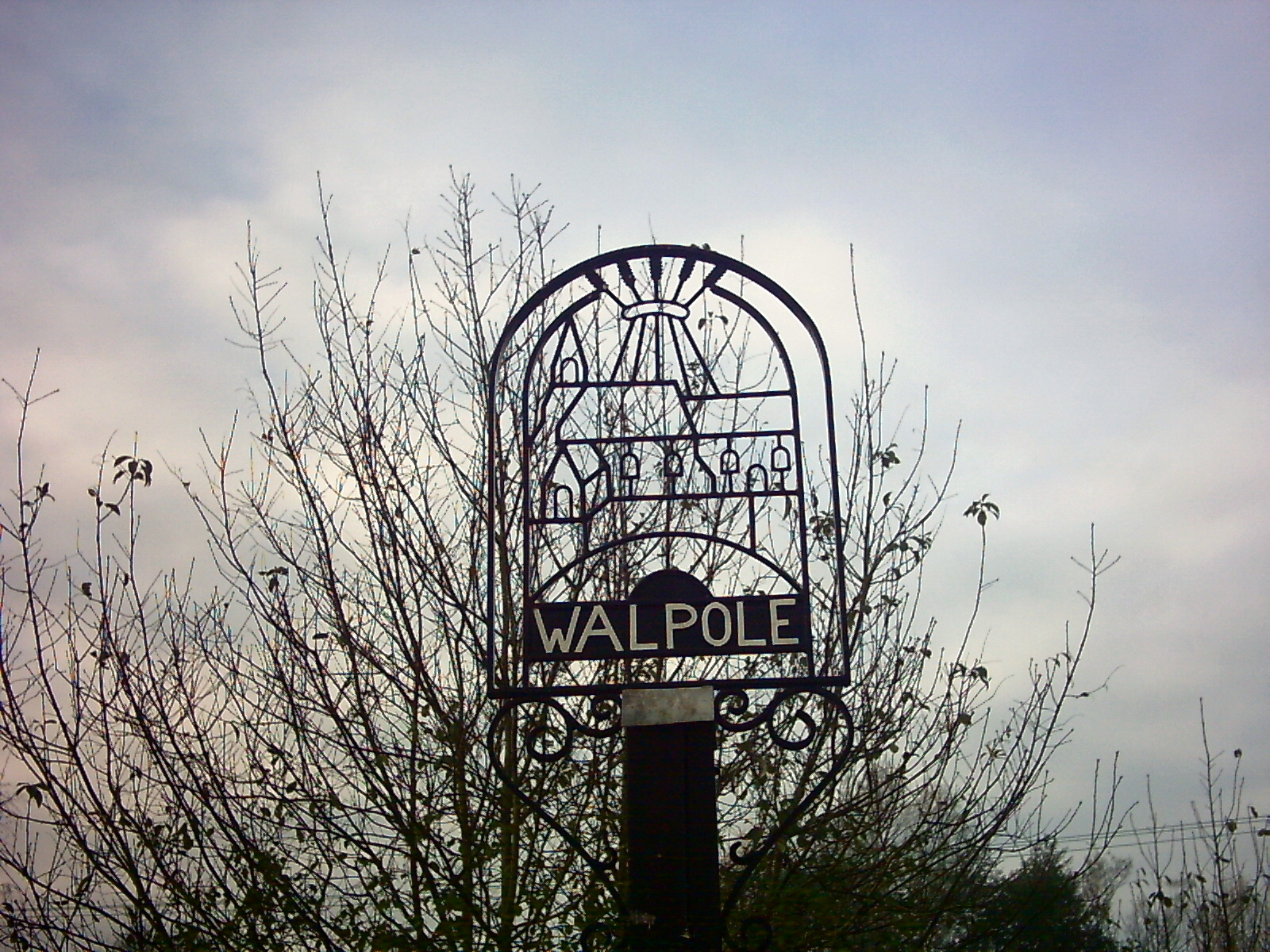
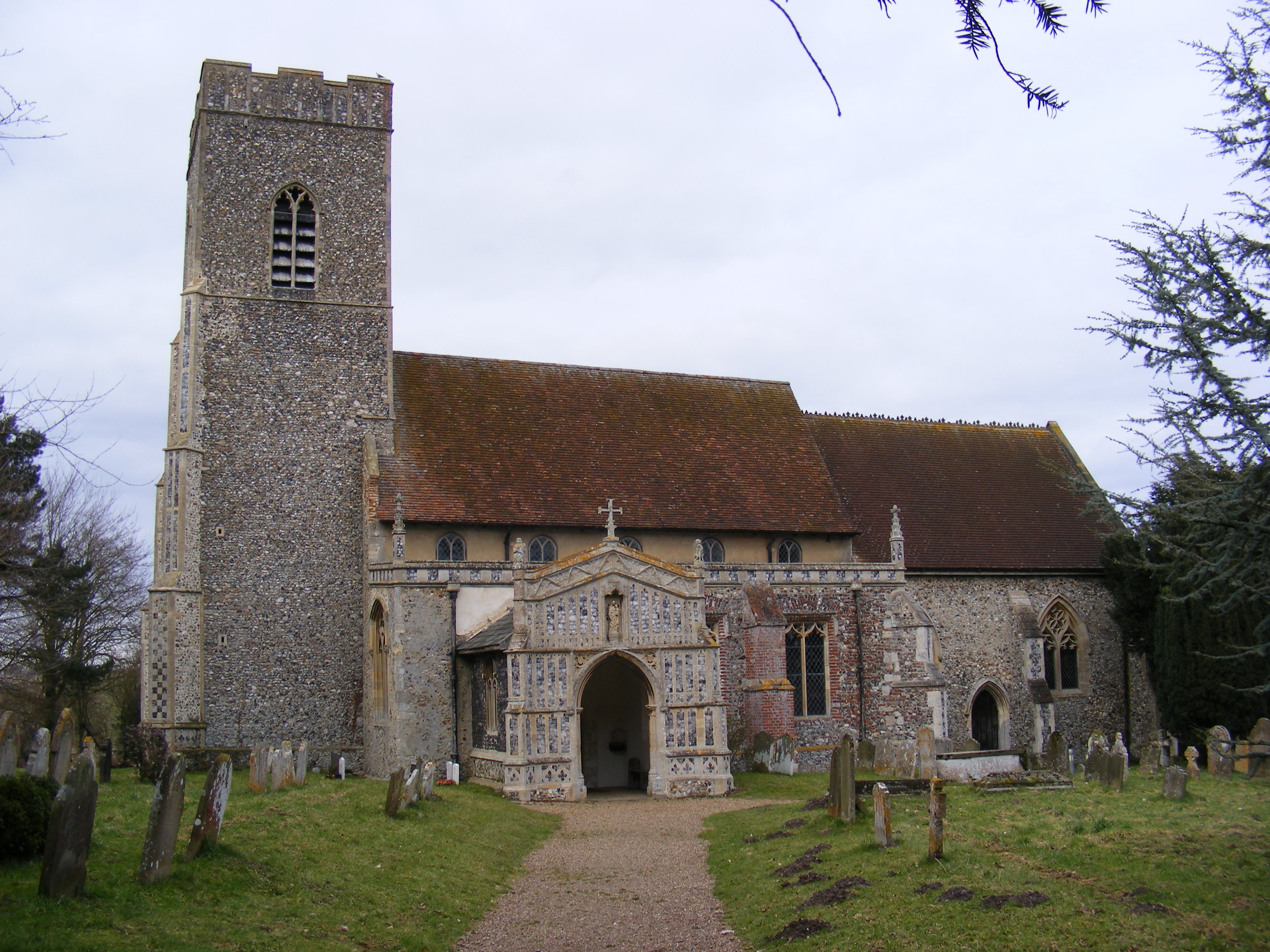
Walpole, Suffolk
Walpole is a small village and civil parish in the district of East Suffolk in Suffolk, England. Walpole has a parish church (dedicated to St Mary), a...
Huntingfield, Suffolk
Huntingfield is a village near the B1117 road, in the East Suffolk district, in the county of Suffolk, England. The village is close to the source of the...
Have you been to Temple Covert?
Leave your review of Temple Covert below (or comments, questions and feedback).