Gravel Pit Plantation
Wood, Forest in Norfolk South Norfolk
England
Gravel Pit Plantation
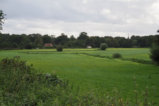
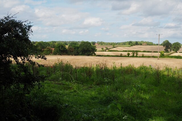
Gravel Pit Plantation is a picturesque woodland located in Norfolk, England. Spanning over a vast area, this enchanting plantation is known for its dense and diverse collection of trees, making it a popular destination for nature enthusiasts and hikers alike.
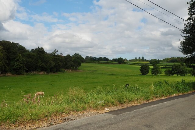
The woodland is predominantly composed of a mixture of deciduous and coniferous trees, creating a harmonious blend of colors throughout the seasons. Towering oak trees, elegant beech trees, and majestic spruces dominate the landscape, providing a rich habitat for a variety of wildlife.
The plantation's name, Gravel Pit, is derived from the historical use of the area for gravel extraction. In the past, the site was utilized for its abundant gravel resources, which were used in construction projects throughout the region. However, over time, nature reclaimed the land, transforming it into the enchanting woodland that it is today.
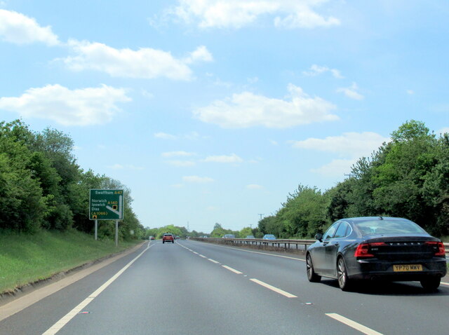
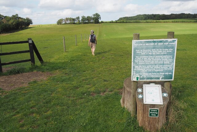
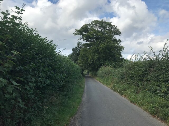
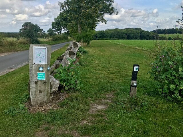
Visitors to Gravel Pit Plantation can explore its numerous walking trails, which meander through the trees and offer stunning views of the surrounding countryside. The plantation is also home to a diverse array of wildlife, including deer, rabbits, and an abundance of bird species, making it an ideal spot for birdwatching enthusiasts.
Throughout the year, the woodland is a popular location for outdoor activities such as picnicking, photography, and nature walks. Its tranquil atmosphere and stunning natural beauty make Gravel Pit Plantation a hidden gem in the Norfolk countryside, offering a peaceful escape from the hustle and bustle of everyday life.
If you have any feedback on the listing, please let us know in the comments section below.
Gravel Pit Plantation Images
Images are sourced within 2km of 52.58121/1.3001397 or Grid Reference TG2303. Thanks to Geograph Open Source API. All images are credited.


Gravel Pit Plantation is located at Grid Ref: TG2303 (Lat: 52.58121, Lng: 1.3001397)
Administrative County: Norfolk
District: South Norfolk
Police Authority: Norfolk
What 3 Words
///richest.observers.pots. Near Poringland, Norfolk
Related Wikis

Caistor St Edmund
Caistor St Edmund is a village and former civil parish on the River Tas, now in the parish of Caistor St Edmund and Bixley, in the South Norfolk district...

Venta Icenorum
Venta Icenorum (Classical Latin: [ˈwɛnta ɪkeːˈnoːrũː], literally "marketplace of the Iceni") was the civitas or capital of the Iceni tribe, located at...

Stoke Holy Cross
Stoke Holy Cross is a village in South Norfolk which lies approximately 4 miles (6.4 km) south of Norwich. == Geography == Stoke sits on the River Tas...
Dunston Common
Dunston Common is a 3.8-hectare (9.4-acre) Local Nature Reserve south of Norwich in Norfolk. It is owned and managed by South Norfolk District Council...
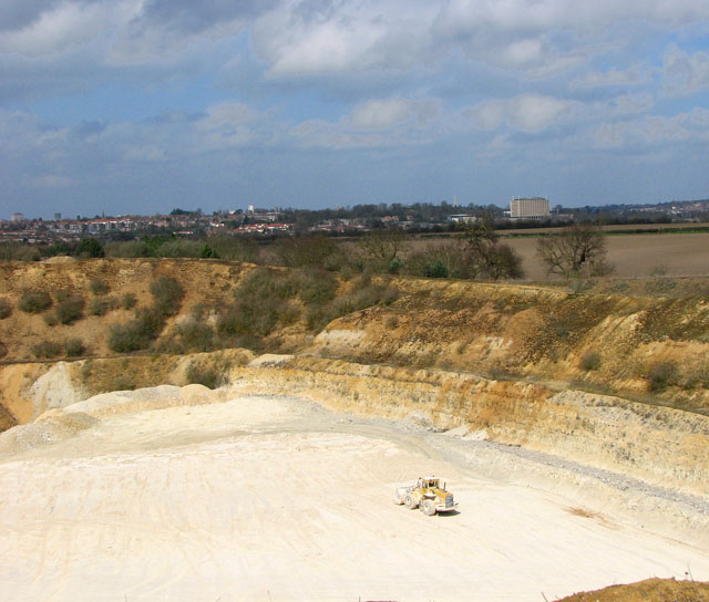
Caistor St Edmund Chalk Pit
Caistor St Edmund Chalk Pit is a 23.6-hectare (58-acre) geological Site of Special Scientific Interest south of Norwich in Norfolk. It is a Geological...

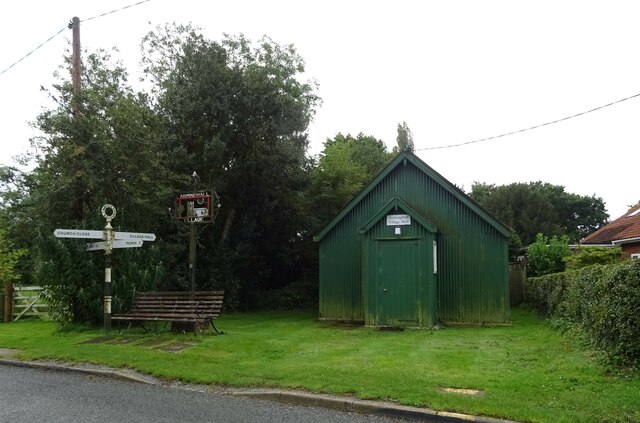
Arminghall
Arminghall is a village and former civil parish, now in the parish of Caistor St Edmund and Bixley, in the South Norfolk district, in the county of Norfolk...
University Technical College Norfolk
University Technical College Norfolk is a University Technical College in Old Hall Road, Norwich, with a focus on the engineering and health sectors.It...

Framingham Earl High School
Framingham Earl High School is a secondary school located in Framingham Earl in the English county of Norfolk to the south of Norwich. The school enrolls...
Nearby Amenities
Located within 500m of 52.58121,1.3001397Have you been to Gravel Pit Plantation?
Leave your review of Gravel Pit Plantation below (or comments, questions and feedback).