Foxes' Grove
Wood, Forest in Norfolk South Norfolk
England
Foxes' Grove
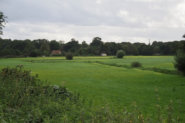
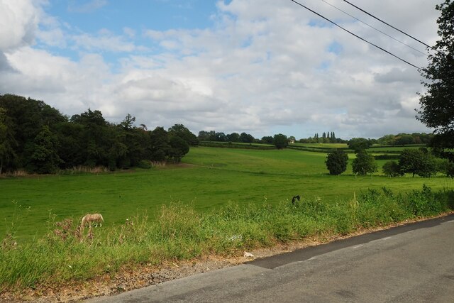
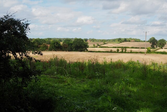
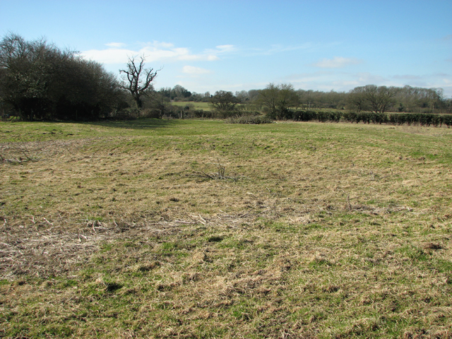
Foxes' Grove is a picturesque woodland area located in Norfolk, England. Situated in the heart of the county, it is renowned for its natural beauty and serene atmosphere. Covering an expansive area of lush greenery, Foxes' Grove is a haven for wildlife enthusiasts and nature lovers alike.
The woodland, as the name suggests, is home to a thriving population of foxes. These elusive creatures can often be spotted roaming through the trees and undergrowth, adding to the enchanting allure of the grove. In addition to foxes, a diverse array of other wildlife inhabits the area, including deer, squirrels, and a variety of bird species.
The grove itself is characterized by a dense canopy of deciduous and evergreen trees, which provide shade and shelter for both animals and visitors. Towering oak, beech, and birch trees create a sense of grandeur, while the undergrowth is adorned with vibrant wildflowers and ferns.
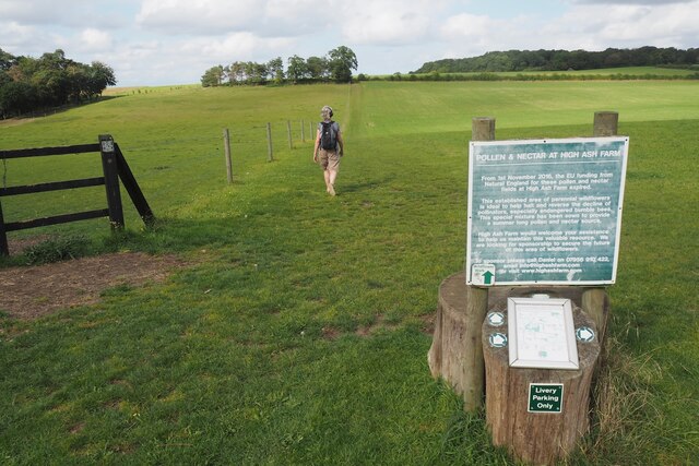
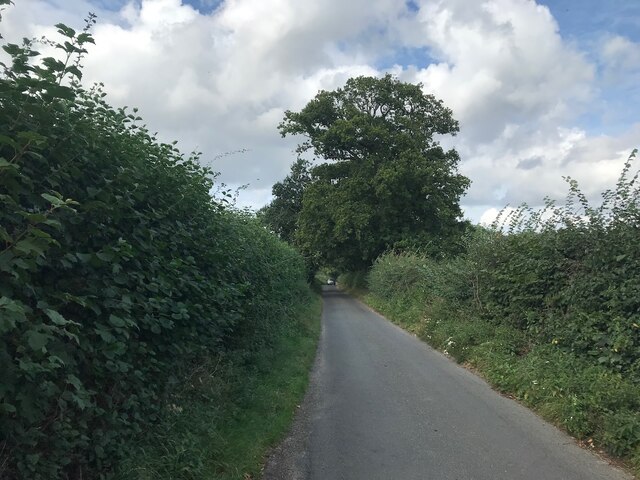
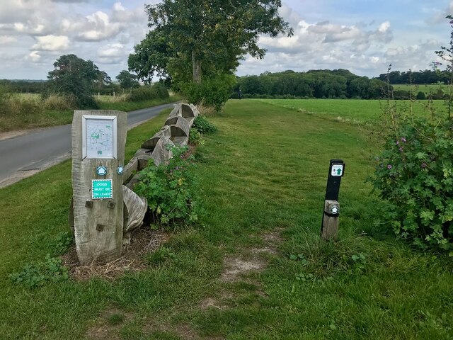
Several well-maintained walking trails wind their way through Foxes' Grove, allowing visitors to explore the natural wonders at their own pace. These paths offer stunning views of the woodland, with occasional clearings providing glimpses of the surrounding countryside.
A visit to Foxes' Grove offers a welcome escape from the hustle and bustle of everyday life, providing a serene and tranquil setting for relaxation and contemplation. Whether it is observing wildlife, enjoying a leisurely stroll, or simply immersing oneself in nature's beauty, this woodland retreat is sure to captivate and rejuvenate all who venture into its depths.
If you have any feedback on the listing, please let us know in the comments section below.
Foxes' Grove Images
Images are sourced within 2km of 52.585481/1.3020998 or Grid Reference TG2303. Thanks to Geograph Open Source API. All images are credited.


Foxes' Grove is located at Grid Ref: TG2303 (Lat: 52.585481, Lng: 1.3020998)
Administrative County: Norfolk
District: South Norfolk
Police Authority: Norfolk
What 3 Words
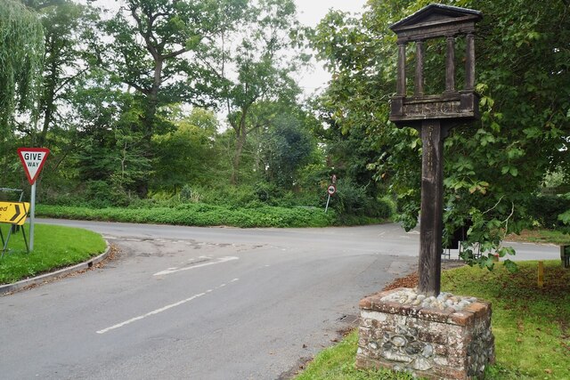
///enhancement.cars.decide. Near Poringland, Norfolk
Related Wikis

Caistor St Edmund
Caistor St Edmund is a village and former civil parish on the River Tas, now in the parish of Caistor St Edmund and Bixley, in the South Norfolk district...

Venta Icenorum
Venta Icenorum (Classical Latin: [ˈwɛnta ɪkeːˈnoːrũː], literally "marketplace of the Iceni") was the civitas or capital of the Iceni tribe, located at...
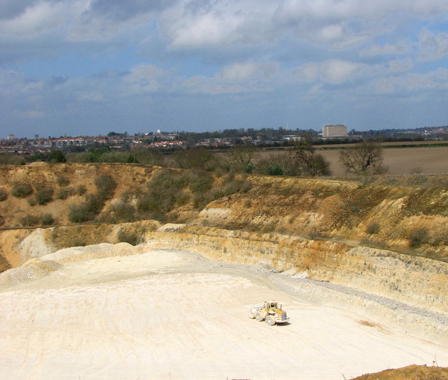
Caistor St Edmund Chalk Pit
Caistor St Edmund Chalk Pit is a 23.6-hectare (58-acre) geological Site of Special Scientific Interest south of Norwich in Norfolk. It is a Geological...

Arminghall
Arminghall is a village and former civil parish, now in the parish of Caistor St Edmund and Bixley, in the South Norfolk district, in the county of Norfolk...
Dunston Common
Dunston Common is a 3.8-hectare (9.4-acre) Local Nature Reserve south of Norwich in Norfolk. It is owned and managed by South Norfolk District Council...

Stoke Holy Cross
Stoke Holy Cross is a village in South Norfolk which lies approximately 4 miles (6.4 km) south of Norwich. == Geography == Stoke sits on the River Tas...
University Technical College Norfolk
University Technical College Norfolk is a University Technical College in Old Hall Road, Norwich, with a focus on the engineering and health sectors.It...
Bixley medieval settlement
Bixley medieval settlement is a deserted medieval village in Norfolk, England, about 2 miles (3.2 km) south-east of Norwich. It is a Scheduled Monument...
Nearby Amenities
Located within 500m of 52.585481,1.3020998Have you been to Foxes' Grove?
Leave your review of Foxes' Grove below (or comments, questions and feedback).