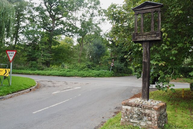
Caistor St. Edmund
Civil Parish in Norfolk South Norfolk
England
Caistor St. Edmund

Caistor St. Edmund is a civil parish located in the county of Norfolk in eastern England. Situated approximately 5 miles south of Norwich, the parish covers an area of about 3.8 square kilometers and has a population of around 500 residents.
The village of Caistor St. Edmund is historically significant as it was once the site of a Roman town known as Venta Icenorum. The remains of this ancient settlement can still be seen today, including a well-preserved Roman town wall and a large amphitheater. These archaeological sites attract visitors who are interested in exploring the area's rich history.
The parish also features a 12th-century parish church, St. Edmund's Church, which is a Grade I listed building. The church is known for its impressive architecture and beautiful stained glass windows. Additionally, there are several other historic buildings scattered throughout the village, adding to its charming character.
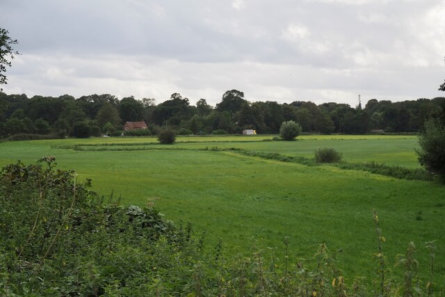
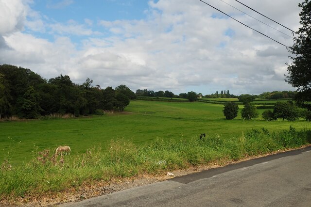
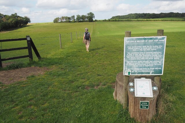
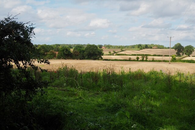
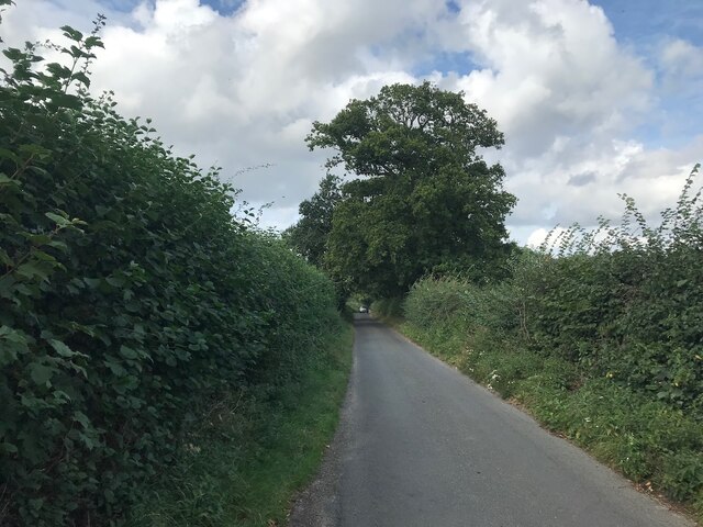
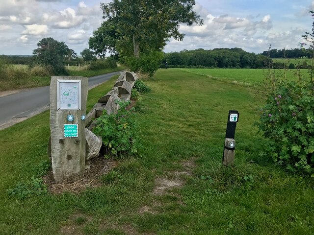
Caistor St. Edmund is surrounded by picturesque countryside, making it a popular destination for outdoor enthusiasts. The nearby River Tas offers opportunities for fishing and boating, while the surrounding fields and woodlands provide scenic walking and cycling routes.
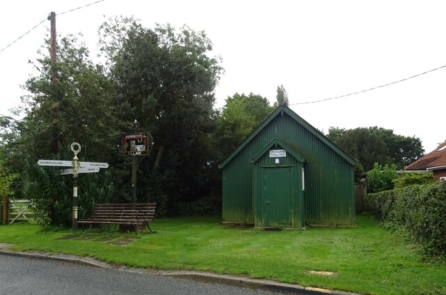
Despite its small size, Caistor St. Edmund has a strong sense of community and is home to various local amenities, including a village hall, a primary school, and a pub. The village also hosts regular events and activities, such as fairs and festivals, bringing residents together.
Overall, Caistor St. Edmund is a historic and picturesque civil parish that offers a blend of rich heritage and natural beauty, making it an appealing place to live or visit.
If you have any feedback on the listing, please let us know in the comments section below.
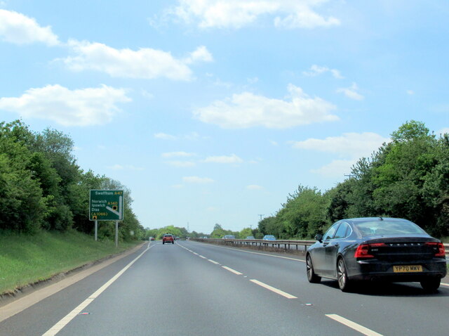
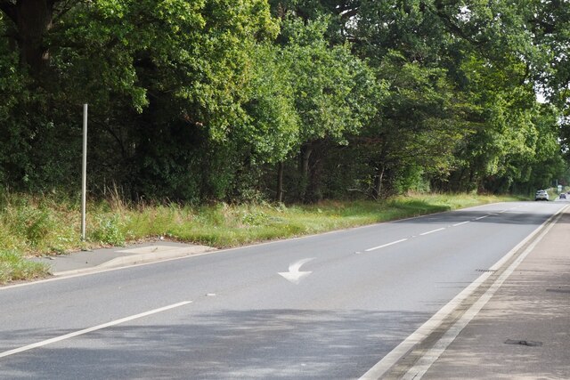
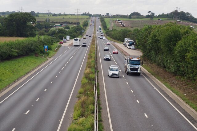
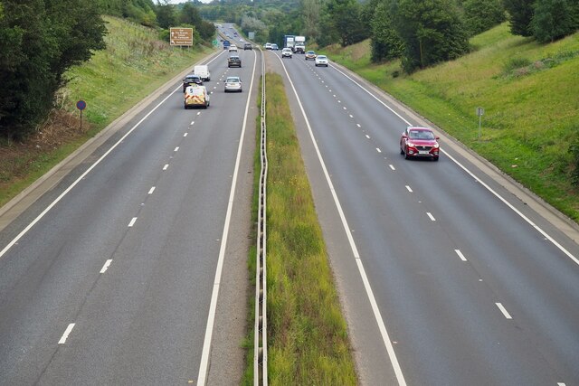
Caistor St. Edmund Images
Images are sourced within 2km of 52.587205/1.301313 or Grid Reference TG2303. Thanks to Geograph Open Source API. All images are credited.


Caistor St. Edmund is located at Grid Ref: TG2303 (Lat: 52.587205, Lng: 1.301313)
Administrative County: Norfolk
District: South Norfolk
Police Authority: Norfolk
What 3 Words
///wiser.regard.energetic. Near Poringland, Norfolk
Related Wikis

Caistor St Edmund
Caistor St Edmund is a village and former civil parish on the River Tas, now in the parish of Caistor St Edmund and Bixley, in the South Norfolk district...

Venta Icenorum
Venta Icenorum (Classical Latin: [ˈwɛnta ɪkeːˈnoːrũː], literally "marketplace of the Iceni") was the civitas or capital of the Iceni tribe, located at...
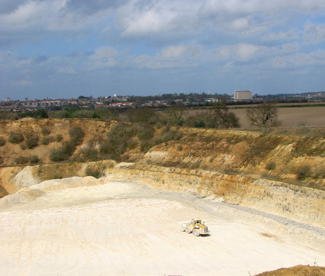
Caistor St Edmund Chalk Pit
Caistor St Edmund Chalk Pit is a 23.6-hectare (58-acre) geological Site of Special Scientific Interest south of Norwich in Norfolk. It is a Geological...

Arminghall
Arminghall is a village and former civil parish, now in the parish of Caistor St Edmund and Bixley, in the South Norfolk district, in the county of Norfolk...
Nearby Amenities
Located within 500m of 52.587205,1.301313Have you been to Caistor St. Edmund?
Leave your review of Caistor St. Edmund below (or comments, questions and feedback).