Long Plantation
Wood, Forest in Norfolk South Norfolk
England
Long Plantation

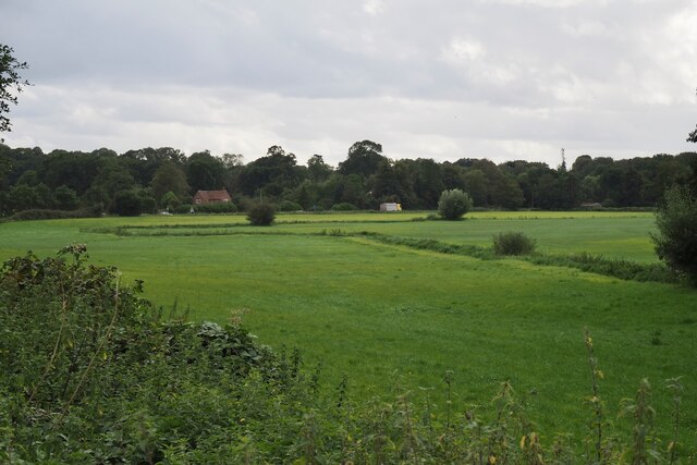
Long Plantation is a historic woodland area located in the county of Norfolk, England. Situated near the village of Wood, the plantation covers a vast expanse of forested land, offering a rich natural environment for visitors to explore.
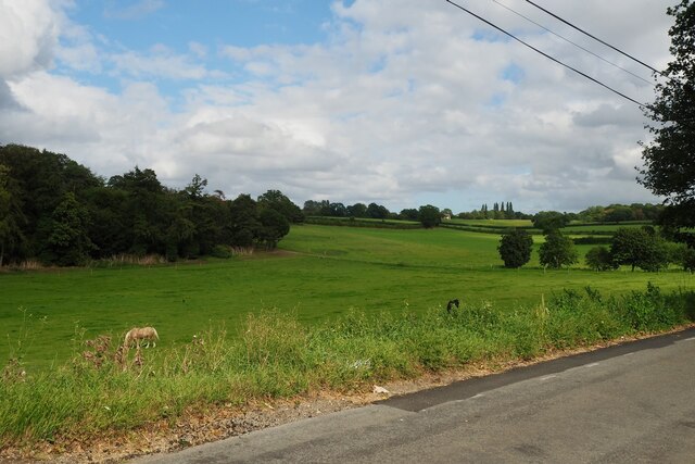
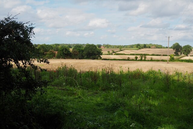
The plantation is renowned for its ancient trees, with some dating back several centuries. The area is predominantly covered by broadleaf woodland, consisting of trees such as oak, beech, and ash. These trees create a diverse habitat for a wide range of flora and fauna, making it a popular destination for nature enthusiasts and wildlife photographers.
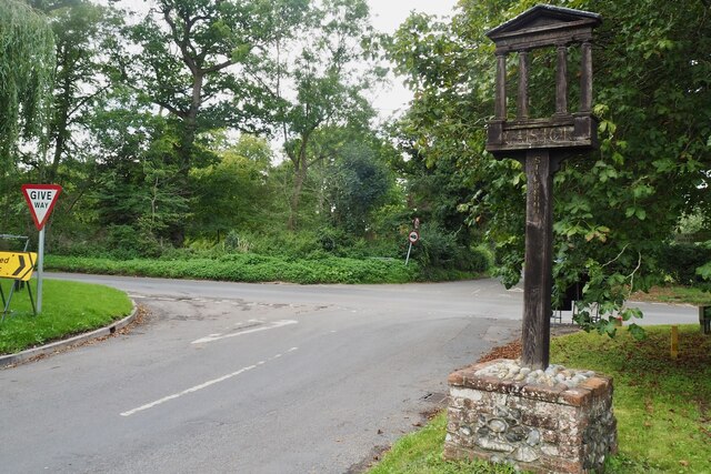
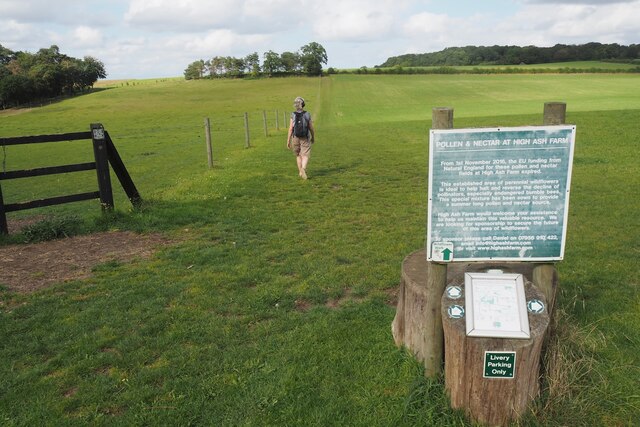
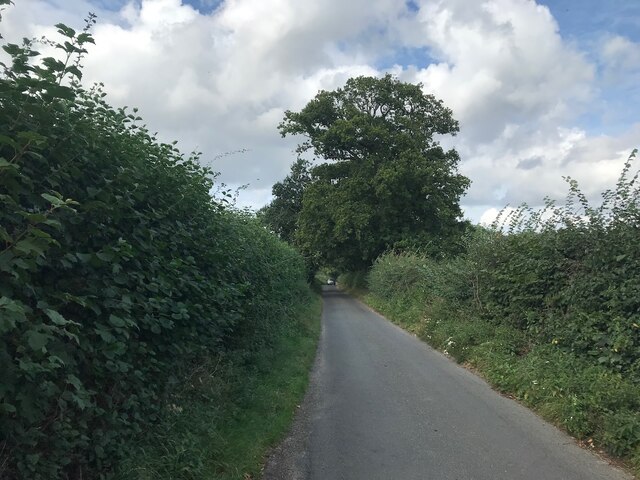
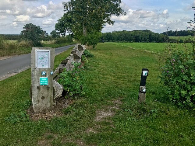
Long Plantation is crisscrossed by a network of walking trails, allowing visitors to immerse themselves in the tranquil surroundings. These trails offer opportunities to observe various species of birds, small mammals, and insects. The plantation is also home to several rare and protected species, including the lesser spotted woodpecker and the purple emperor butterfly.
In addition to its natural beauty, Long Plantation holds historical significance. The woodland has been a part of the local landscape for centuries, and remnants of past human activity can still be found within its boundaries. This includes old boundary markers and the remains of a medieval hunting lodge.
Overall, Long Plantation is a haven of natural beauty and historical intrigue. Its ancient woodland, diverse wildlife, and rich history make it a must-visit destination for those seeking to connect with nature and explore the heritage of Norfolk.
If you have any feedback on the listing, please let us know in the comments section below.
Long Plantation Images
Images are sourced within 2km of 52.585088/1.2978177 or Grid Reference TG2303. Thanks to Geograph Open Source API. All images are credited.


Long Plantation is located at Grid Ref: TG2303 (Lat: 52.585088, Lng: 1.2978177)
Administrative County: Norfolk
District: South Norfolk
Police Authority: Norfolk
What 3 Words
///chained.tuck.slip. Near Poringland, Norfolk
Related Wikis

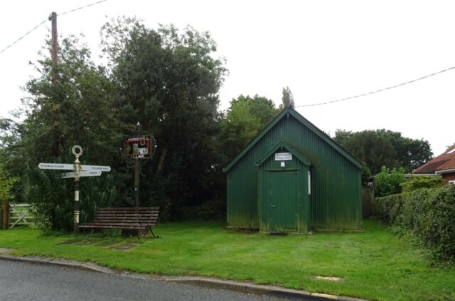
Caistor St Edmund
Caistor St Edmund is a village and former civil parish on the River Tas, now in the parish of Caistor St Edmund and Bixley, in the South Norfolk district...

Venta Icenorum
Venta Icenorum (Classical Latin: [ˈwɛnta ɪkeːˈnoːrũː], literally "marketplace of the Iceni") was the civitas or capital of the Iceni tribe, located at...
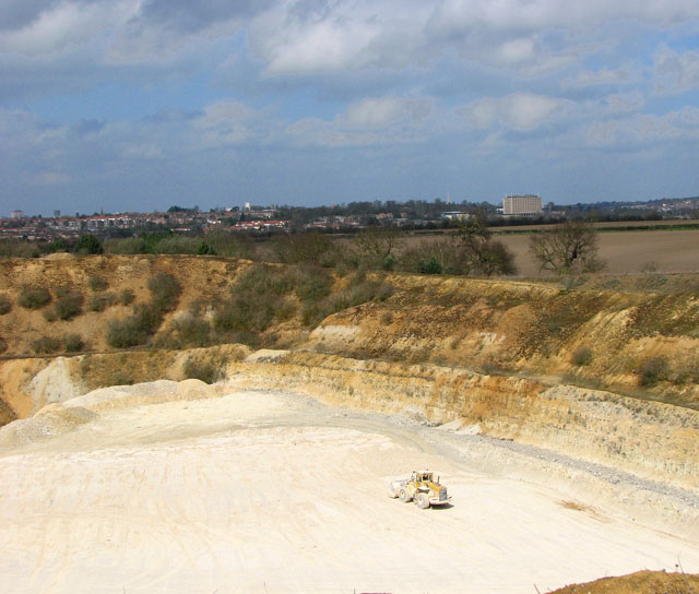
Caistor St Edmund Chalk Pit
Caistor St Edmund Chalk Pit is a 23.6-hectare (58-acre) geological Site of Special Scientific Interest south of Norwich in Norfolk. It is a Geological...
Dunston, Norfolk
Dunston is a village in the civil parish of Stoke Holy Cross, in the South Norfolk district, in the county of Norfolk, England. It is located in the valley...
Nearby Amenities
Located within 500m of 52.585088,1.2978177Have you been to Long Plantation?
Leave your review of Long Plantation below (or comments, questions and feedback).