Osier Carr

Wood, Forest in Norfolk North Norfolk

England

Osier Carr

Felmingham Chapel folly A small chapel built around 2009 of flint. It is flanked by two ruined walls and the inside features cast heads and medieval style paintings.
Felmingham Chapel folly Credit: Alan Terrill

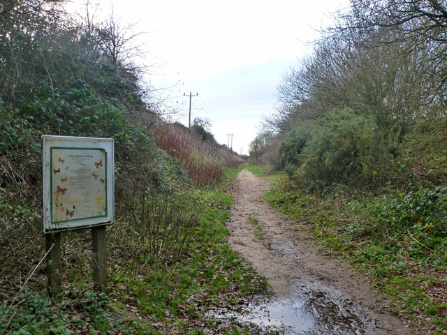
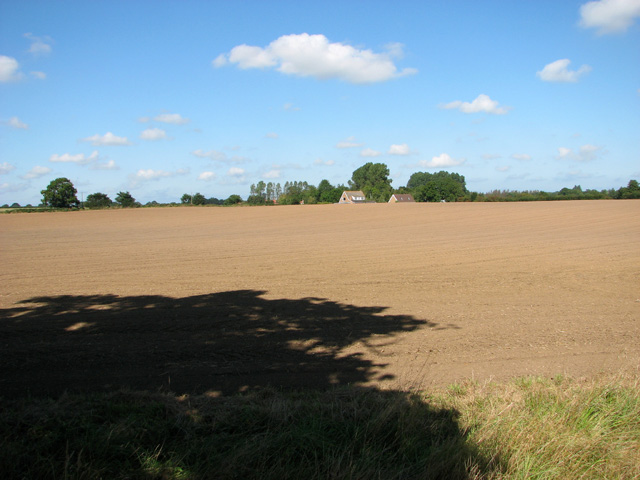
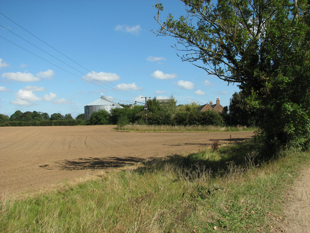
Osier Carr, located in Norfolk, England, is a remarkable wood or forest that boasts a rich and diverse ecosystem. Spanning approximately 100 acres, this natural haven is renowned for its scenic beauty and abundant wildlife.

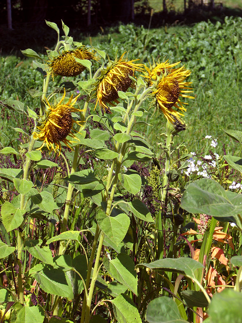
The wood itself is dominated by willow trees, commonly known as osiers, which give the area its name. These trees thrive in the damp and marshy environment, creating a unique habitat for a wide range of plant and animal species. The dense canopy of willows provides shade and shelter, making Osier Carr an ideal breeding ground for various bird species, including the elusive marsh warbler and the vibrant kingfisher.

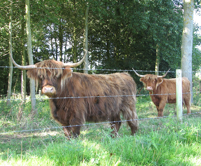
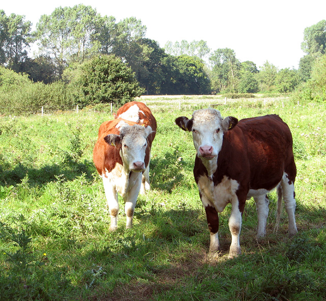
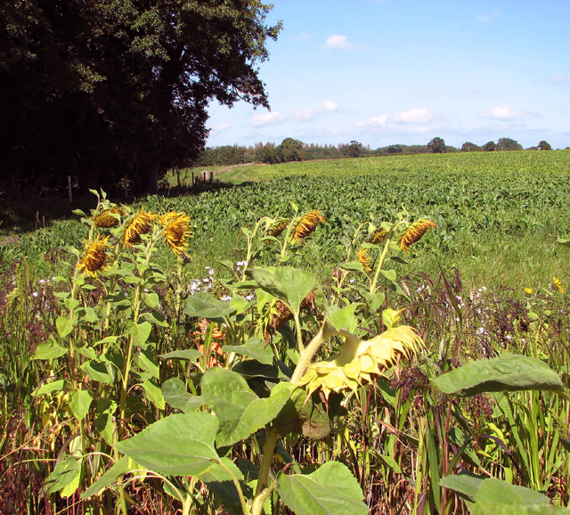
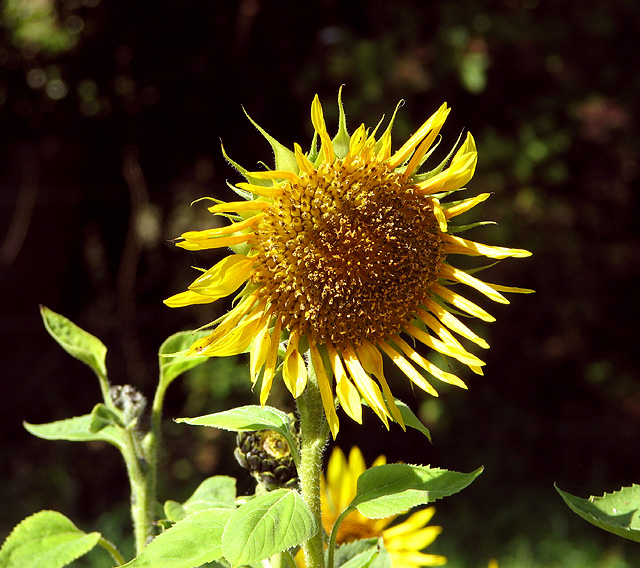
In addition to its avian inhabitants, the wood is also home to a variety of mammals, such as hedgehogs, rabbits, and voles. Visitors may also spot the occasional deer or fox roaming through the undergrowth. The diverse vegetation in Osier Carr supports a multitude of insects, butterflies, and bees, contributing to the overall biodiversity of the area.

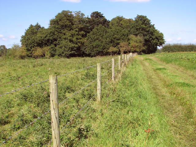
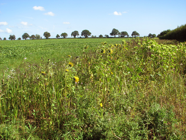
The wood is crisscrossed by a network of winding footpaths, allowing visitors to explore its beauty and observe the wildlife up close. These trails offer stunning views of the surrounding landscape, including picturesque meadows, tranquil ponds, and meandering streams.

Osier Carr is not only a haven for nature enthusiasts, but also serves as an important site for scientific research and conservation efforts. Its preservation and protection are crucial for the continued survival of its unique ecosystem.

If you have any feedback on the listing, please let us know in the comments section below.
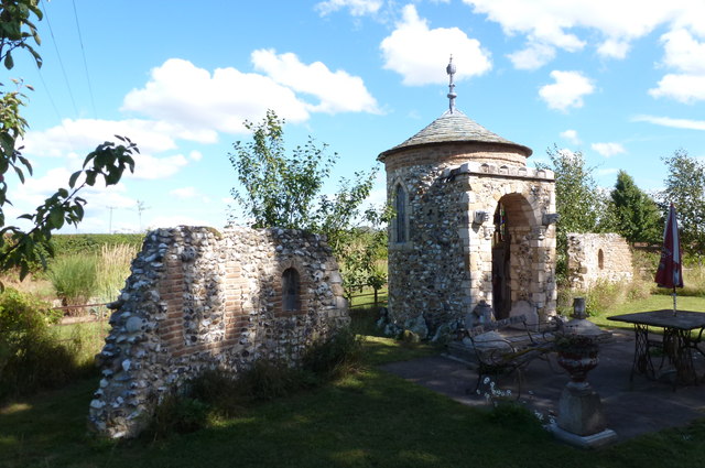
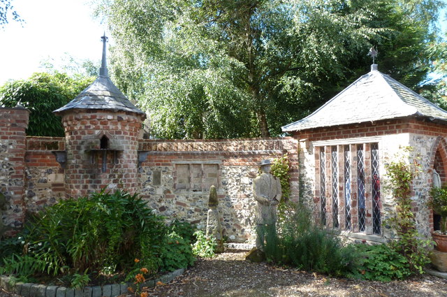
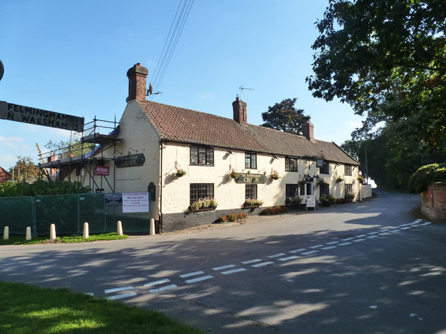
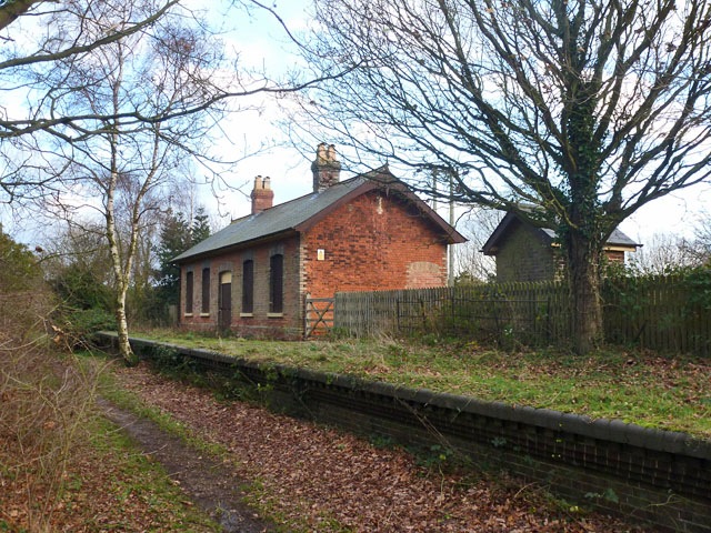
Osier Carr Images

Images are sourced within 2km of 52.811353/1.3150654 or Grid Reference TG2328. Thanks to Geograph Open Source API. All images are credited.

Felmingham Chapel folly A small chapel built around 2009 of flint. It is flanked by two ruined walls and the inside features cast heads and medieval style paintings.
Felmingham Chapel folly
A small chapel built around 2009 of flint. It is flanked by two ruined walls and the inside features cast heads and medieval style paintings.
Felmingham - Summerhouse and dovecote Round dovecote and square summerhouse built into a curved brick and flint wall. Constructed between 2007 and 2013.
Felmingham - Summerhouse and dovecote
Round dovecote and square summerhouse built into a curved brick and flint wall. Constructed between 2007 and 2013.
The Banningham Crown Across the road from the church, the perfect antidote for dry sermons.
The Banningham Crown
Across the road from the church, the perfect antidote for dry sermons.
Former Felmingham station On the M&GN route to Yarmouth. The station closed in 1959.
Former Felmingham station
On the M&GN route to Yarmouth. The station closed in 1959.
Felmingham Cutting A butterfly nature reserve section of the old M&GN line to Yarmouth which closed in 1959. It is now used here by the Weavers' Way trail.
Felmingham Cutting
A butterfly nature reserve section of the old M&GN line to Yarmouth which closed in 1959. It is now used here by the Weavers' Way trail.
Highland cows by Lower Farm, Tuttington
White Park cow near Lower Farm, Tuttington The White Park cattle is said to be closely related to Britain's original wild white cattle > <a title="https://www.geograph.org.uk/photo/2206103" href="https://www.geograph.org.uk/photo/2206103">Link</a> which was kept in parks by the nobility during the Middle Ages.  When the Rare Breeds Survival Trust was formed in 1973, the White Park was chosen as its logo. At that time there were only about 60 animals left but their numbers have since increased and currently there are more than 750 registered breeding cows.  The breed is classed as “Minority”.
White Park cow near Lower Farm, Tuttington
The White Park cattle is said to be closely related to Britain's original wild white cattle > Link which was kept in parks by the nobility during the Middle Ages. When the Rare Breeds Survival Trust was formed in 1973, the White Park was chosen as its logo. At that time there were only about 60 animals left but their numbers have since increased and currently there are more than 750 registered breeding cows. The breed is classed as “Minority”.
White Park cow See also > <a title="https://www.geograph.org.uk/photo/4156695" href="https://www.geograph.org.uk/photo/4156695">Link</a>. The White Park cattle is said to be closely related to Britain's original wild white cattle > <a title="https://www.geograph.org.uk/photo/2206103" href="https://www.geograph.org.uk/photo/2206103">Link</a> which was kept in parks by the nobility during the middle ages.  When the Rare Breeds Survival Trust was formed in 1973, the White Park was chosen as its logo. At that time there were only about 60 animals left but their numbers have since increased and currently there are more than 750 registered breeding cows.  The breed is classed as “Minority”.
White Park cow
See also > Link. The White Park cattle is said to be closely related to Britain's original wild white cattle > Link which was kept in parks by the nobility during the middle ages. When the Rare Breeds Survival Trust was formed in 1973, the White Park was chosen as its logo. At that time there were only about 60 animals left but their numbers have since increased and currently there are more than 750 registered breeding cows. The breed is classed as “Minority”.
Cattle pasture by Lower Farm, Tuttington
Bridleway past Lower Farm
Fields east of Low Common The sunflowers and millet seen in the foreground are for the pheasants and partridges to enjoy.  The crop seen in the background is sugar beet.
Fields east of Low Common
The sunflowers and millet seen in the foreground are for the pheasants and partridges to enjoy. The crop seen in the background is sugar beet.
Crop fields east of Lower Farm A mixed crop comprising sunflowers and millet (to feed pheasants and partirdges) can be seen at right. It is adjoined by sugar beet.
Crop fields east of Lower Farm
A mixed crop comprising sunflowers and millet (to feed pheasants and partirdges) can be seen at right. It is adjoined by sugar beet.
Sunflowers in game bird crop field For a wider view of this location see > <a title="https://www.geograph.org.uk/photo/4156712" href="https://www.geograph.org.uk/photo/4156712">Link</a>.
Sunflowers in game bird crop field
For a wider view of this location see > Link.
Sunflower in game bird crop For a wider view of this location see > <a title="https://www.geograph.org.uk/photo/4156712" href="https://www.geograph.org.uk/photo/4156712">Link</a>.
Sunflower in game bird crop
For a wider view of this location see > Link.
Sugar beet crop field east of Low Common
Sugar beet crop, Tuttington
Field by Lower Farm
Field by Lower Farm
View towards Lower Farm, Tuttington
Show me another place!

Osier Carr is located at Grid Ref: TG2328 (Lat: 52.811353, Lng: 1.3150654)

Administrative County: Norfolk

District: North Norfolk

Police Authority: Norfolk

What 3 Words

///whom.pacemaker.soil. Near Aylsham, Norfolk

Related Wikis

Felmingham Cutting

Felmingham Cutting is a 1-hectare (2.5-acre) Local Nature Reserve west of North Walsham in Norfolk. It is owned by North Norfolk District Council and...

Felmingham railway station

Felmingham railway station is a former railway station in Norfolk, England. It was closed in 1959. It served the village of Felmingham. == References ==

Felmingham

Felmingham is a village and civil parish in the English county of Norfolk. The village is located 2 miles (3.2 km) west of North Walsham and 13 miles...

Tuttington

Tuttington is a village and former civil parish, now in the parish of Burgh and Tuttington, in the Broadland district, in the county of Norfolk, England...

Related Videos

Walking with Mare Poo-Ton: Felmingham Station

dogwalks #dogwalking #dogwalker #norfolk #felmingham #felminghamstation #mare #marepooton #pooton #cotonoodle ...

Mill Farm Camping Felmingham North Norfolk

Motorhome trip to Mill Farm Camping Felmingham North Norfolk Look around site Mill Farm is a tranquil, picturesque 27 acre site ...

Skeyton All Saints

A visit to Skeyton All Saints Church near North Walsham in North Norfolk.

Nearby Amenities

Located within 500m of 52.811353,1.3150654
Post Box
Lat/Long: 52.8116025/1.3203182
Material: wood
Power: pole
Lat/Long: 52.8072294/1.3137943
Material: wood
Power: pole
Lat/Long: 52.8074596/1.3154478
Material: wood
Power: pole
Lat/Long: 52.8077304/1.3174903
Material: wood
Power: pole
Lat/Long: 52.8077807/1.3188381
Power: pole
Lat/Long: 52.8090818/1.3200894
Power: pole
Lat/Long: 52.8101632/1.3188127
The data included in this document is from www.openstreetmap.org. The data is made available under ODbL.

Have you been to Osier Carr?

Leave your review of Osier Carr below (or comments, questions and feedback).