Hyltons Crossways
Settlement in Norfolk North Norfolk
England
Hyltons Crossways
Hyltons Crossways is a small village located in the county of Norfolk, England. Situated approximately 5 miles south of the town of Norwich, it is a rural community known for its picturesque countryside and peaceful atmosphere.
The village is home to a population of around 500 residents, making it a tight-knit community where everyone knows each other. The houses in Hyltons Crossways are mostly traditional brick cottages, giving the village a charming and timeless feel.
Although small in size, Hyltons Crossways has a few amenities to cater to its residents' needs. There is a local pub, The Crossways Inn, which serves as a popular gathering spot for both locals and visitors. The pub offers a warm and friendly environment, serving traditional pub food and a wide selection of drinks.
Surrounded by beautiful countryside, Hyltons Crossways offers plenty of opportunities for outdoor activities. The village is located near several nature trails and walking paths, making it an ideal spot for hiking and exploring the scenic surroundings. The nearby River Yare also provides opportunities for boating and fishing enthusiasts.
For those seeking more amenities and services, the town of Norwich is just a short drive away. Norwich offers a range of shopping centers, restaurants, and cultural attractions, including Norwich Cathedral and Norwich Castle.
Overall, Hyltons Crossways is a peaceful and picturesque village, perfect for those looking to escape the hustle and bustle of city life and enjoy the tranquility of the Norfolk countryside.
If you have any feedback on the listing, please let us know in the comments section below.
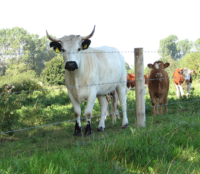
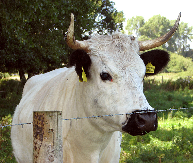
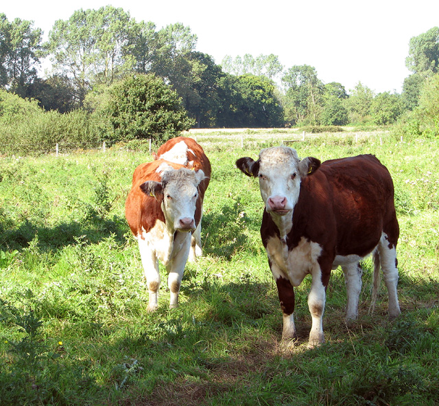
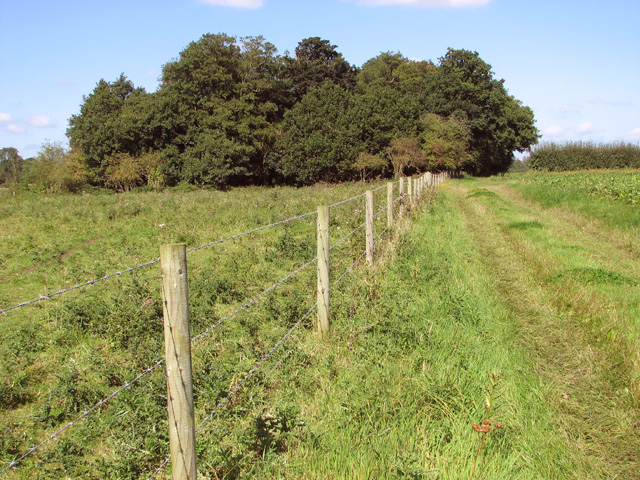
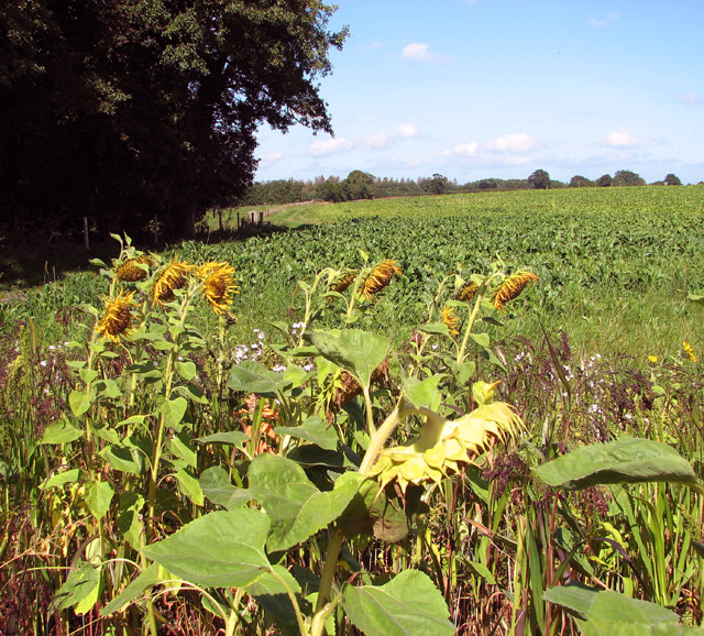
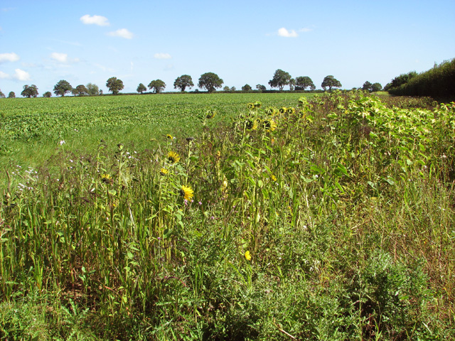
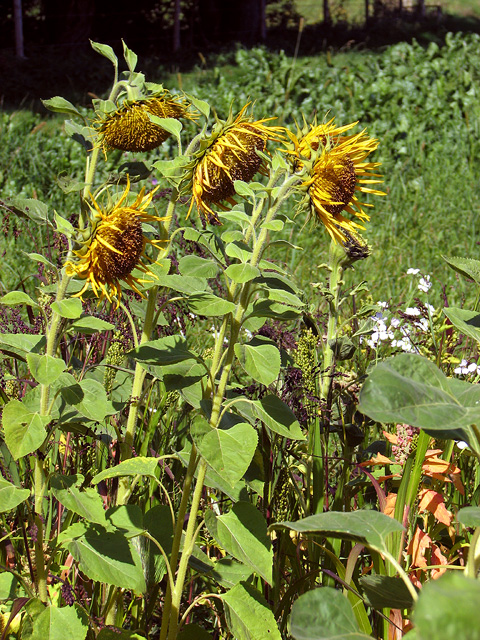
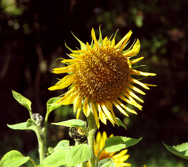
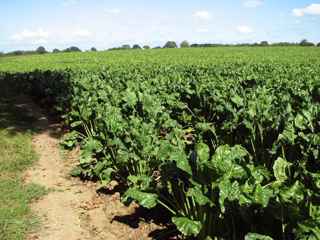
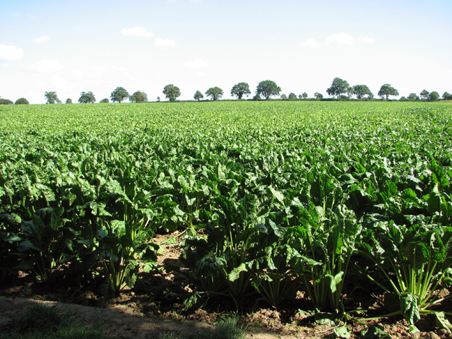
Hyltons Crossways Images
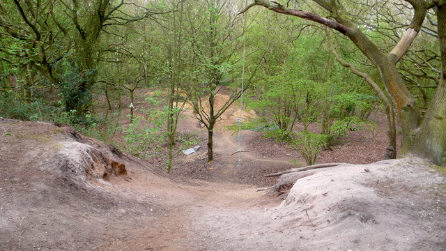
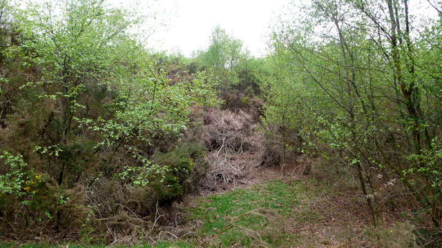
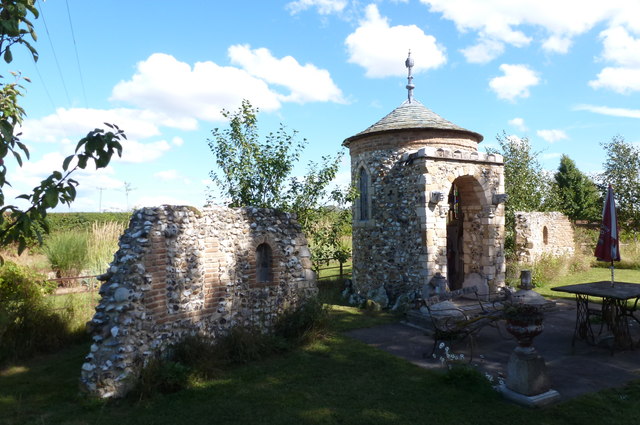
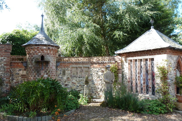
Images are sourced within 2km of 52.8119/1.3205988 or Grid Reference TG2328. Thanks to Geograph Open Source API. All images are credited.
Hyltons Crossways is located at Grid Ref: TG2328 (Lat: 52.8119, Lng: 1.3205988)
Administrative County: Norfolk
District: North Norfolk
Police Authority: Norfolk
What 3 Words
///consoled.grower.wizards. Near North Walsham, Norfolk
Nearby Locations
Related Wikis

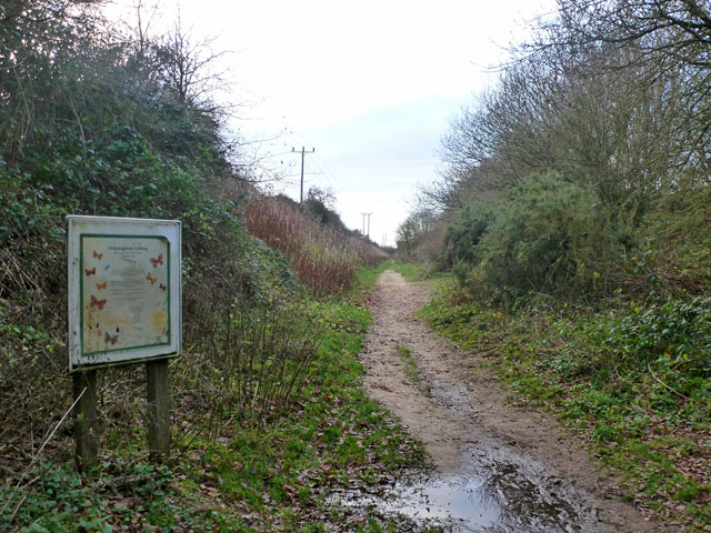
Felmingham Cutting
Felmingham Cutting is a 1-hectare (2.5-acre) Local Nature Reserve west of North Walsham in Norfolk. It is owned by North Norfolk District Council and...

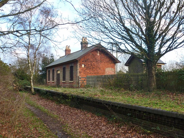
Felmingham railway station
Felmingham railway station is a former railway station in Norfolk, England. It was closed in 1959. It served the village of Felmingham. == References ==

Felmingham
Felmingham is a village and civil parish in the English county of Norfolk. The village is located 2 miles (3.2 km) west of North Walsham and 13 miles...

Bryant's Heath, Felmingham
Bryant's Heath, Felmingham is a 17.7-hectare (44-acre) biological Site of Special Scientific Interest west of North Walsham in Norfolk.Most of this site...

Tuttington
Tuttington is a village and former civil parish, now in the parish of Burgh and Tuttington, in the Broadland district, in the county of Norfolk, England...

Banningham
Banningham is a village and former civil parish, now in the parish of Colby, in the North Norfolk district, in the English county of Norfolk. The village...

Colby, Norfolk
Colby is a village and a civil parish in the English county of Norfolk. The village is 8.6 miles (13.8 km) south of Cromer, 16.8 miles (27.0 km) north...

Burgh and Tuttington
Burgh and Tuttington is a civil parish in the English county of Norfolk. It covers an area of 6.70 km2 (2.59 sq mi) and had a population of 255 in 115...
Nearby Amenities
Located within 500m of 52.8119,1.3205988Have you been to Hyltons Crossways?
Leave your review of Hyltons Crossways below (or comments, questions and feedback).