Caistor St Edmund
Settlement in Norfolk South Norfolk
England
Caistor St Edmund

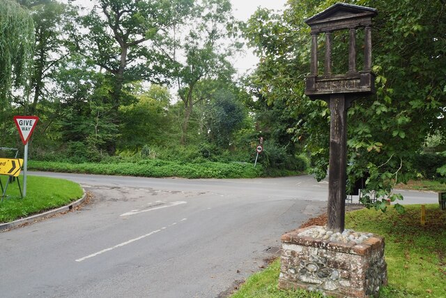
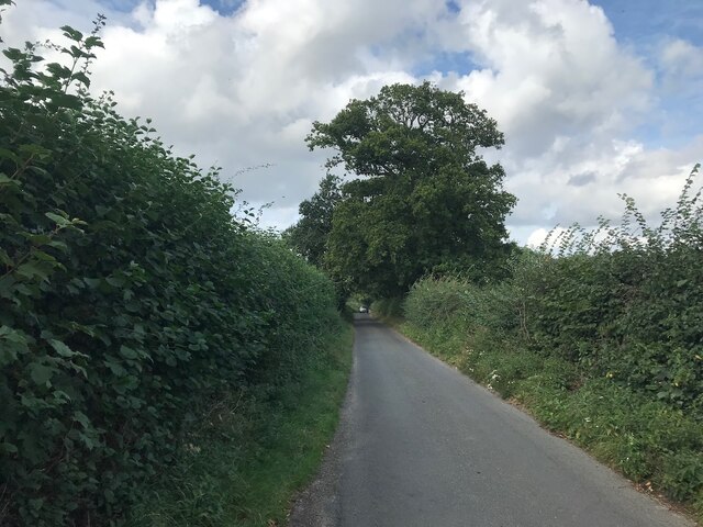
Caistor St Edmund is a small village located in the county of Norfolk, England. Situated approximately 8 miles south of the city of Norwich, it lies on the banks of the River Tas. The village is historically significant, as it sits on the site of Venta Icenorum, the former capital of the Iceni tribe.
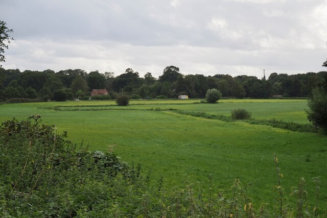
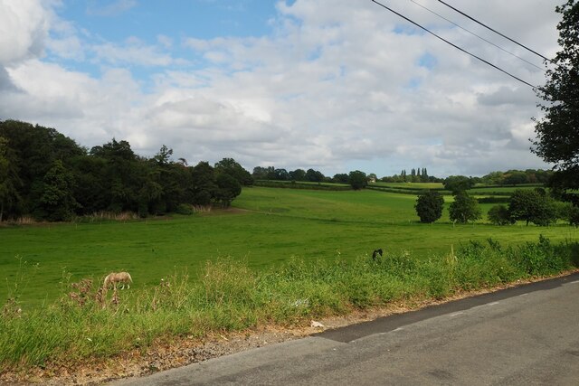
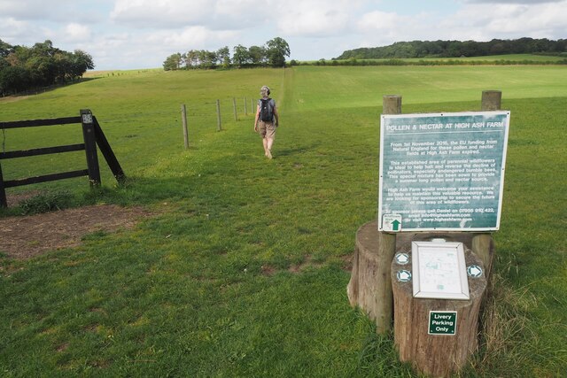
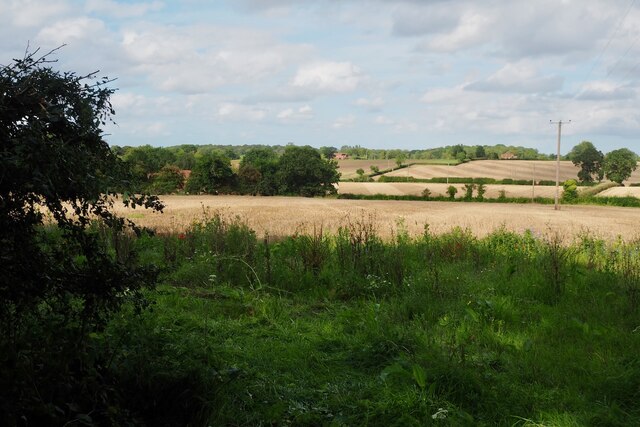
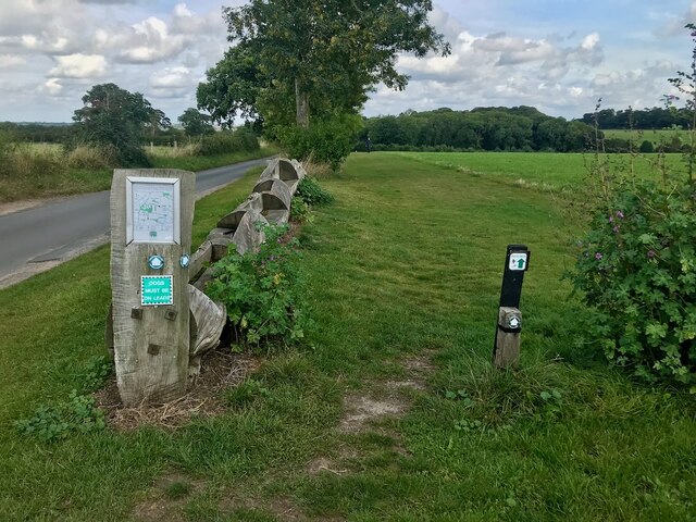
Today, Caistor St Edmund is a peaceful and charming rural village, known for its picturesque surroundings and rich history. It is popular among visitors and locals alike for its beautiful countryside, with rolling hills and scenic walking trails.
The village itself has a small population, and its architecture reflects its long history. The ruins of the Roman town, Venta Icenorum, can still be seen, with remnants of the town walls and buildings. The Roman Town House, an impressive structure with well-preserved mosaic floors, is a notable attraction.
Caistor St Edmund also boasts a historic church, St. Edmund's Church, which dates back to the 13th century. The church features stunning stained glass windows and intricate carvings, making it a must-visit for history enthusiasts.
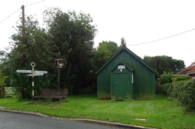
In addition to its historical landmarks, Caistor St Edmund offers a range of amenities and facilities for residents and visitors. These include a village hall, local shops, and a pub, where visitors can relax and enjoy traditional British cuisine.
Overall, Caistor St Edmund is a captivating village that offers a blend of natural beauty and rich history, making it an ideal destination for those seeking a peaceful and historical retreat in the heart of Norfolk.
If you have any feedback on the listing, please let us know in the comments section below.
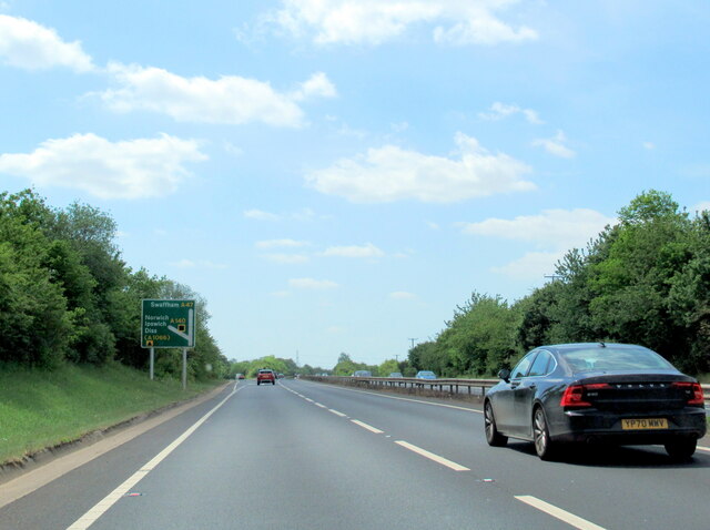
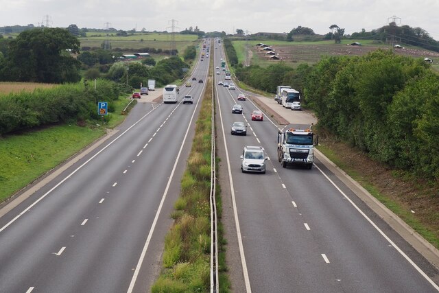
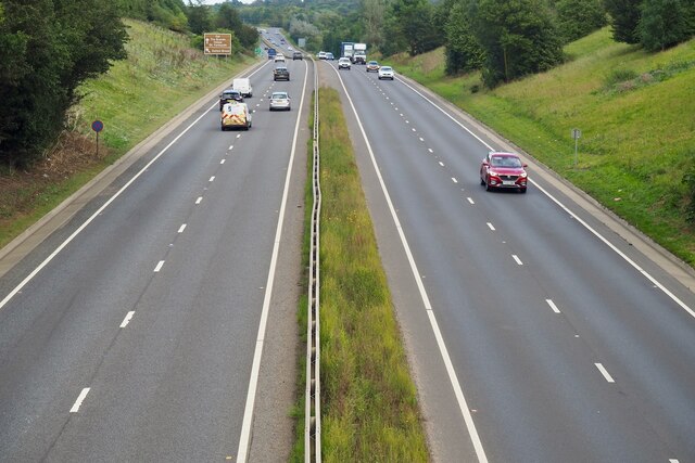
Caistor St Edmund Images
Images are sourced within 2km of 52.586219/1.300234 or Grid Reference TG2303. Thanks to Geograph Open Source API. All images are credited.


Caistor St Edmund is located at Grid Ref: TG2303 (Lat: 52.586219, Lng: 1.300234)
Administrative County: Norfolk
District: South Norfolk
Police Authority: Norfolk
What 3 Words
///lines.bumps.hurls. Near Poringland, Norfolk
Related Wikis

Caistor St Edmund
Caistor St Edmund is a village and former civil parish on the River Tas, now in the parish of Caistor St Edmund and Bixley, in the South Norfolk district...

Venta Icenorum
Venta Icenorum (Classical Latin: [ˈwɛnta ɪkeːˈnoːrũː], literally "marketplace of the Iceni") was the civitas or capital of the Iceni tribe, located at...
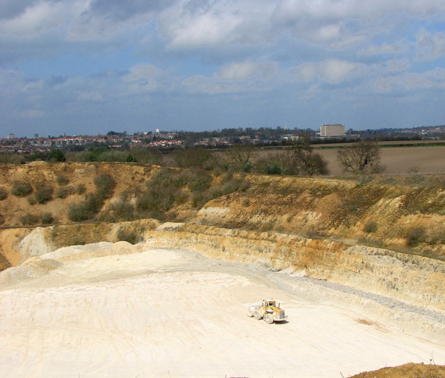
Caistor St Edmund Chalk Pit
Caistor St Edmund Chalk Pit is a 23.6-hectare (58-acre) geological Site of Special Scientific Interest south of Norwich in Norfolk. It is a Geological...

Arminghall
Arminghall is a village and former civil parish, now in the parish of Caistor St Edmund and Bixley, in the South Norfolk district, in the county of Norfolk...
Dunston Common
Dunston Common is a 3.8-hectare (9.4-acre) Local Nature Reserve south of Norwich in Norfolk. It is owned and managed by South Norfolk District Council...

Stoke Holy Cross
Stoke Holy Cross is a village in South Norfolk which lies approximately 4 miles (6.4 km) south of Norwich. == Geography == Stoke sits on the River Tas...
University Technical College Norfolk
University Technical College Norfolk is a University Technical College in Old Hall Road, Norwich, with a focus on the engineering and health sectors.It...

Keswick, South Norfolk
Keswick is a village and former civil parish, now in the parish of Keswick and Intwood, in the South Norfolk district, in the county of Norfolk, England...
Nearby Amenities
Located within 500m of 52.586219,1.300234Have you been to Caistor St Edmund?
Leave your review of Caistor St Edmund below (or comments, questions and feedback).