Beech Wood
Wood, Forest in Norfolk North Norfolk
England
Beech Wood

Beech Wood, Norfolk is a serene and picturesque wood located in the eastern part of England. Spanning approximately 250 acres, this ancient deciduous forest is a cherished natural treasure and a popular destination for nature lovers and outdoor enthusiasts.
Beech Wood is predominantly composed of towering beech trees, which lend the forest its name. These majestic trees create a dense canopy, providing shade and shelter to a wide variety of flora and fauna. The forest floor is carpeted with a rich undergrowth of ferns, wildflowers, and mosses, adding to the enchanting atmosphere of the wood.
The wood is intersected by numerous well-maintained footpaths and trails, offering visitors the opportunity to explore the area and immerse themselves in its natural beauty. The trails wind through the forest, leading to serene ponds, babbling brooks, and hidden clearings, providing a peaceful escape from the hustle and bustle of everyday life.
Beech Wood is also home to a diverse range of wildlife. Birdwatchers can spot various species of birds, including woodpeckers, nuthatches, and jays. The forest is also inhabited by mammals such as deer, foxes, and badgers, making it an ideal location for wildlife enthusiasts and photographers.
The wood is managed by local conservation organizations, ensuring its preservation and protection. Visitors are encouraged to respect the natural environment, adhere to designated trails, and take their litter with them to maintain the pristine condition of the wood.
Overall, Beech Wood, Norfolk is a serene and enchanting forest, offering visitors a chance to connect with nature and experience the tranquility of the English countryside.
If you have any feedback on the listing, please let us know in the comments section below.
Beech Wood Images
Images are sourced within 2km of 52.910968/1.3248901 or Grid Reference TG2340. Thanks to Geograph Open Source API. All images are credited.


Beech Wood is located at Grid Ref: TG2340 (Lat: 52.910968, Lng: 1.3248901)
Administrative County: Norfolk
District: North Norfolk
Police Authority: Norfolk
What 3 Words
///lyrics.stated.competent. Near Overstrand, Norfolk
Nearby Locations
Related Wikis
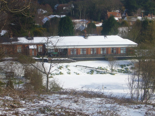
Overstrand railway station
Overstrand railway station was a station in North Norfolk on the Norfolk and Suffolk Joint Railway, serving the settlement of Overstrand. It opened on...
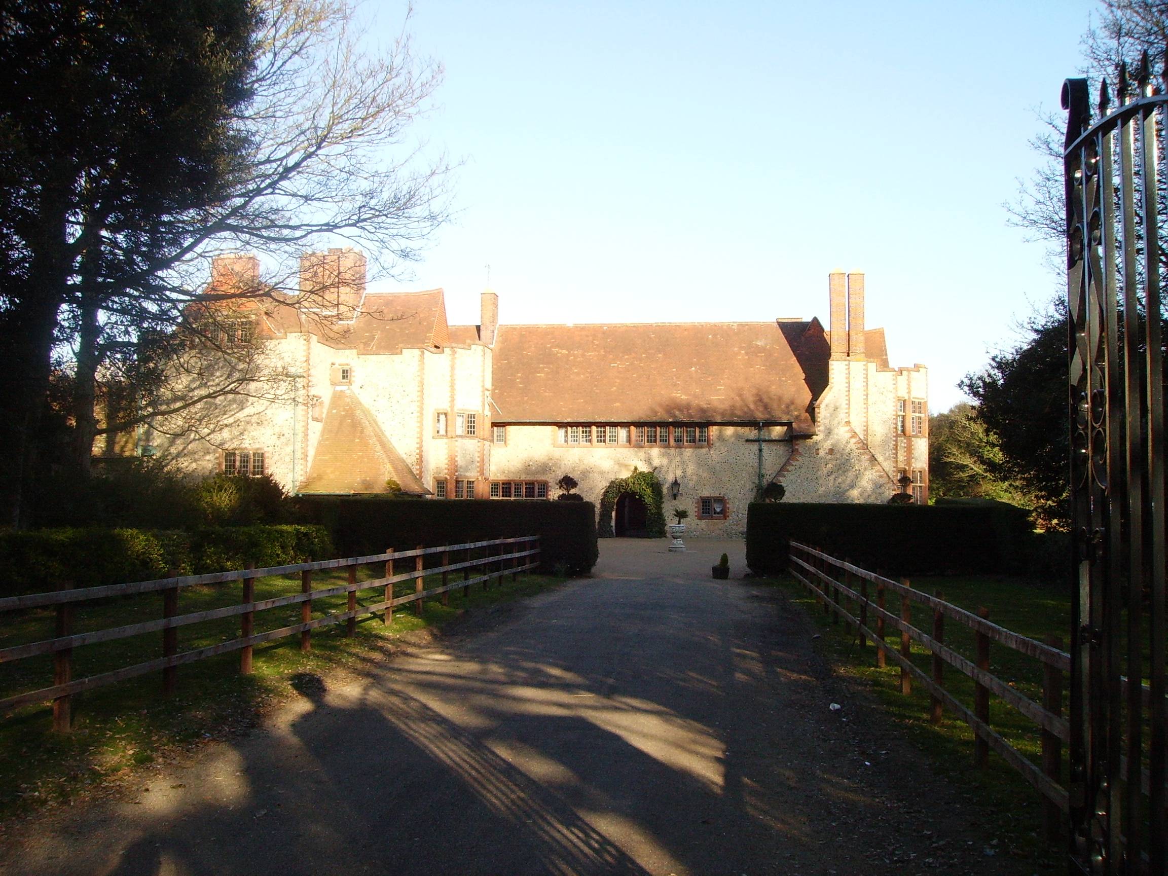
Overstrand Hall
Overstrand Hall is a country house in Overstrand, Norfolk, England, designed by Edwin Lutyens for Charles William Mills, 2nd Baron Hillingdon, a partner...
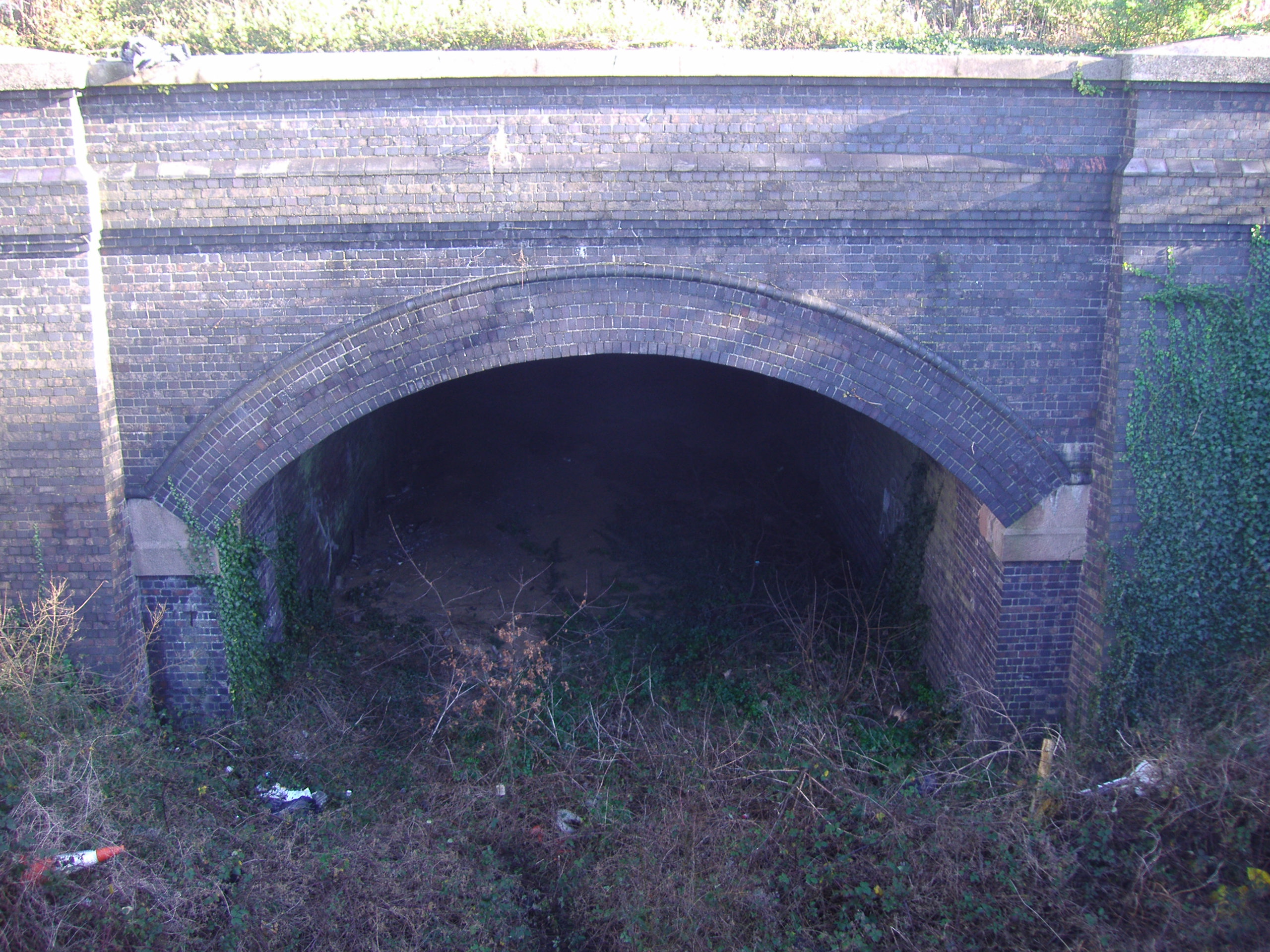
Cromer Tunnel
The Cromer Tunnel was built by the Norfolk and Suffolk Joint Railway to take their Cromer Beach to Mundesley line under the Great Eastern's Cromer High...

Northrepps
Northrepps is a village and a civil parish in the English county of Norfolk. It is 3.4 miles (5.5 km) southeast of Cromer, 22.2 miles (35.7 km) north of...

Overstrand Cliffs
Overstrand Cliffs is a 57.8-hectare (143-acre) biological and geological Site of Special Scientific Interest in Cromer in Norfolk. It is a Special Area...

Cromer Lighthouse
Cromer Lighthouse is situated in the coastal town of Cromer, in the English county of Norfolk. == History == There has been a lighthouse on the cliff top...

Cromer Hospital
Cromer and District Hospital (formerly known as Cromer Cottage Hospital) opened in 1932 in the suburb of Suffield Park in the town of Cromer within the...
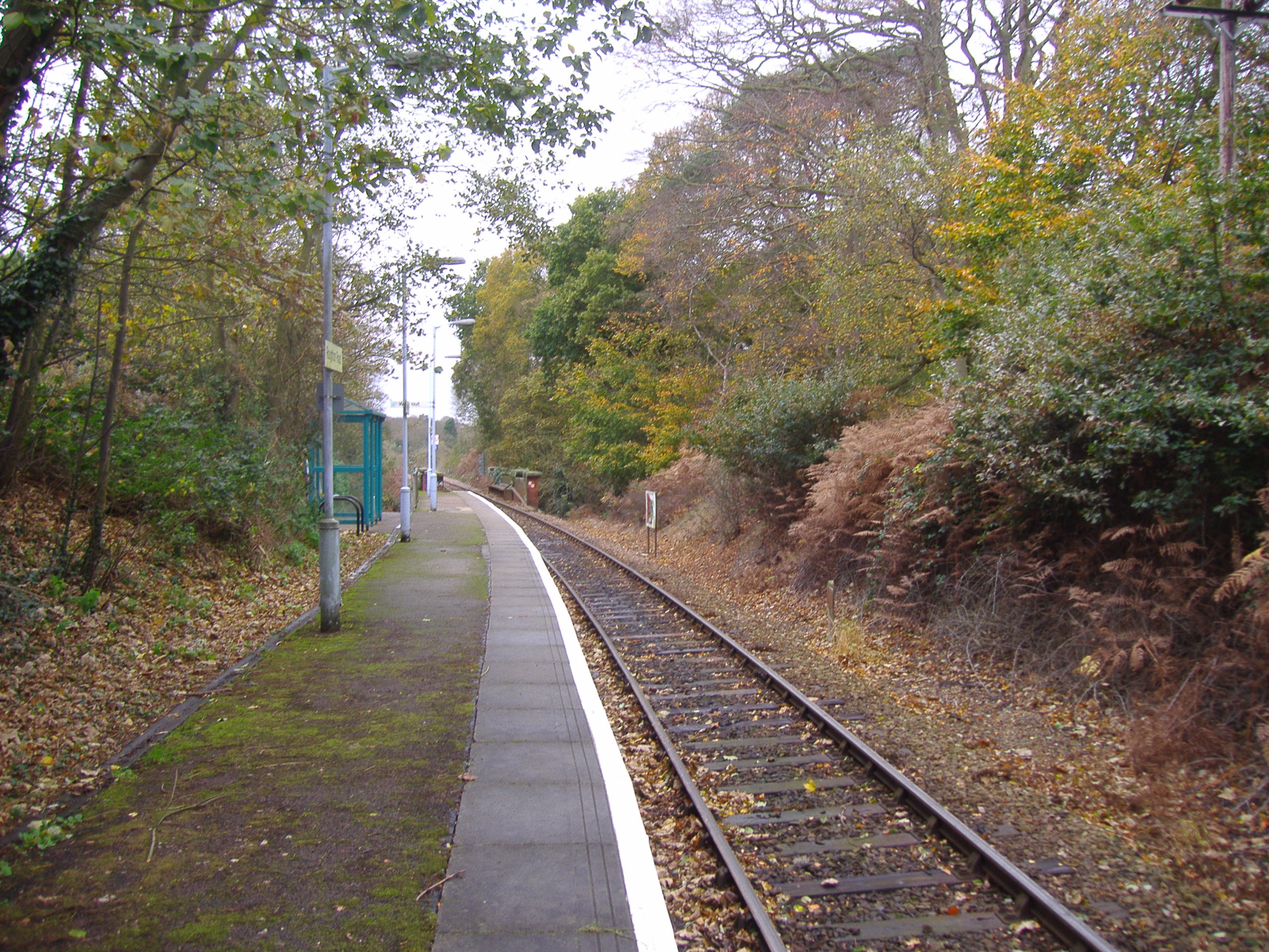
Roughton Road railway station
Roughton Road railway station is on the Bittern Line in Norfolk, England, on the outskirts of the town of Cromer. It takes its name from the street on...
Nearby Amenities
Located within 500m of 52.910968,1.3248901Have you been to Beech Wood?
Leave your review of Beech Wood below (or comments, questions and feedback).