West Belt
Wood, Forest in Norfolk Broadland
England
West Belt
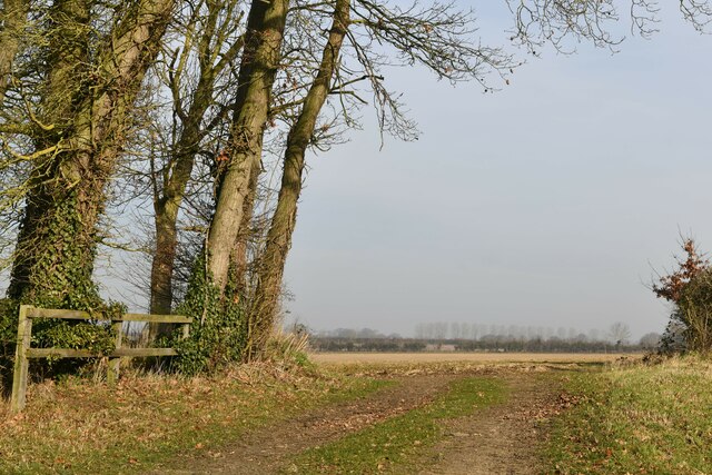
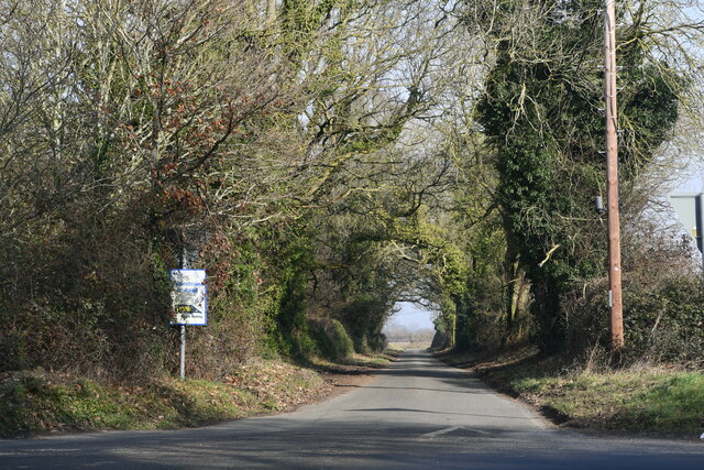
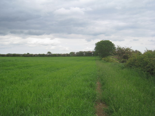
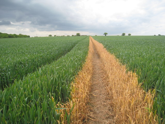
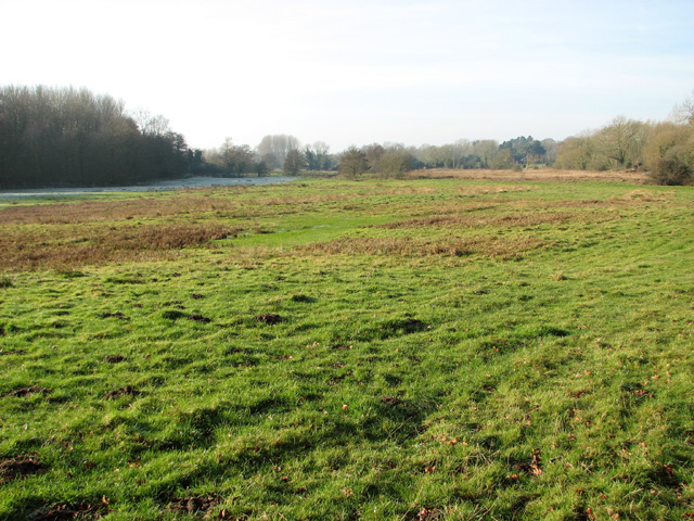
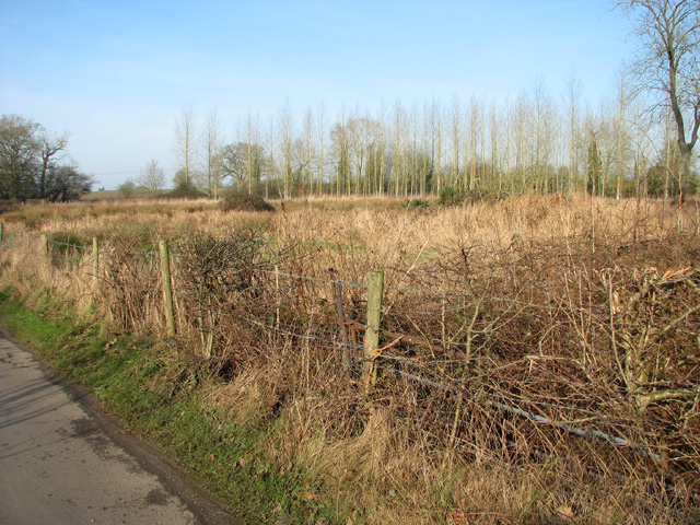
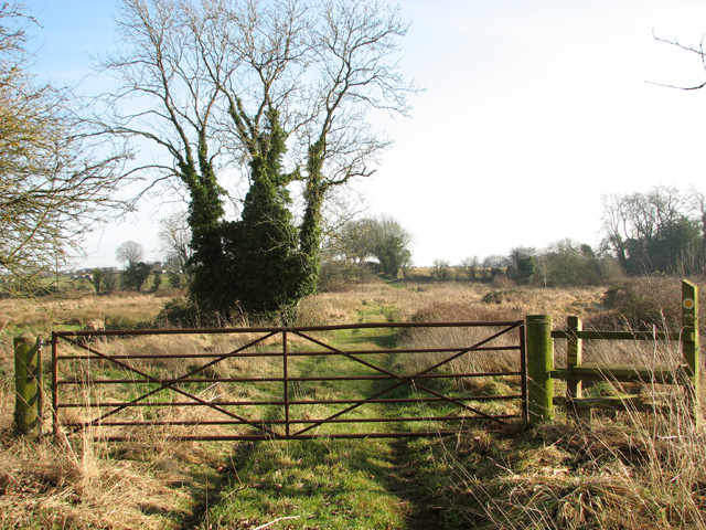
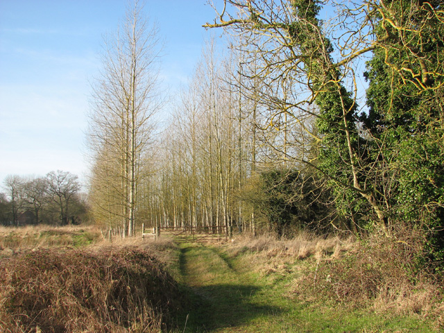
West Belt, Norfolk is a picturesque woodland area located in the county of Norfolk, England. It is known for its abundant natural beauty and is a popular destination for nature enthusiasts and hikers alike. The West Belt is situated in close proximity to the village of Wood and is characterized by its dense forest cover.
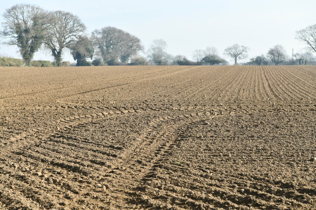
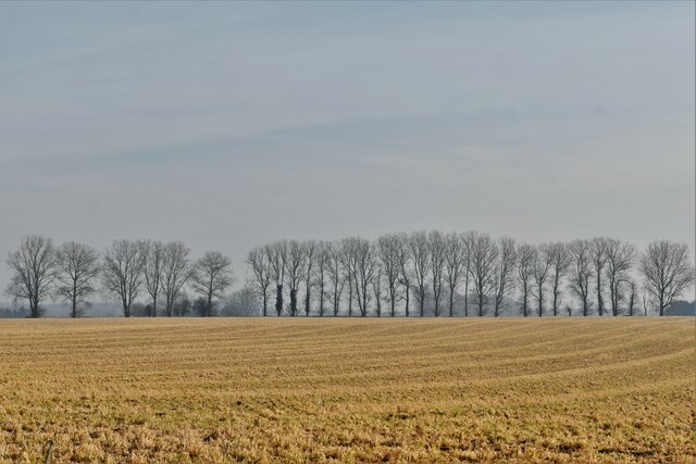
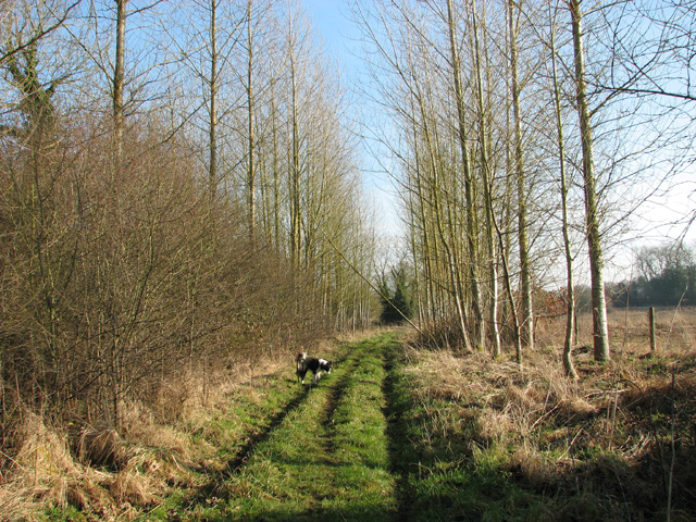
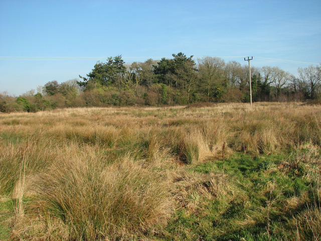
The woodland area stretches over an approximate area of 200 acres and is predominantly composed of a variety of tree species, including oak, beech, and pine. These trees create a lush and vibrant ecosystem, providing a habitat for a diverse range of flora and fauna. Visitors to West Belt can expect to encounter various wildlife such as deer, rabbits, squirrels, and a wide variety of bird species.
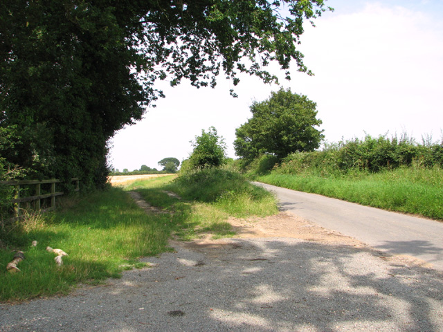
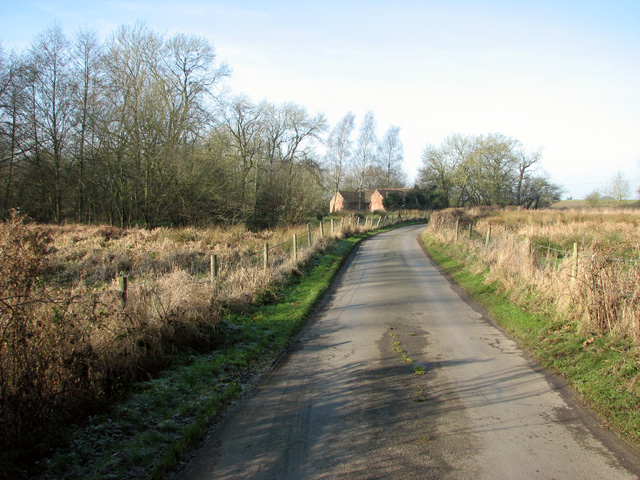
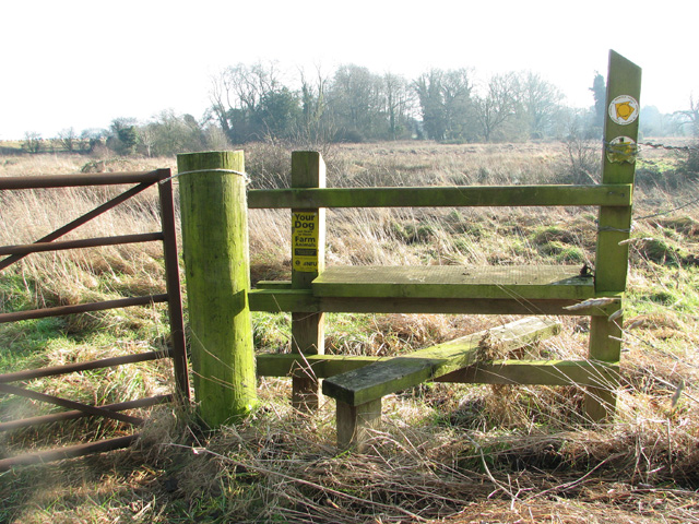
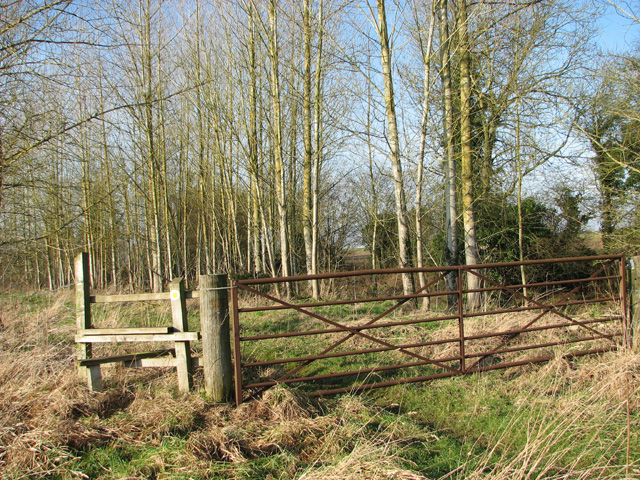
The well-maintained trails that crisscross the forest make it an ideal location for outdoor activities such as walking, jogging, and cycling. The paths wind through the forest, leading visitors to hidden clearings and beautiful viewpoints that offer stunning vistas of the surrounding countryside.
West Belt also features a small picnic area, complete with benches and tables, allowing visitors to relax and enjoy a meal amidst the tranquil surroundings. Additionally, the forest is home to several natural springs, adding to the charm and serenity of the area.
Overall, West Belt, Norfolk (Wood, Forest) is a captivating woodland area that offers a serene and immersive experience in nature. Its diverse flora and fauna, well-maintained trails, and beautiful natural features make it an ideal destination for those seeking respite from the hustle and bustle of everyday life.
If you have any feedback on the listing, please let us know in the comments section below.
West Belt Images
Images are sourced within 2km of 52.744434/1.1774349 or Grid Reference TG1421. Thanks to Geograph Open Source API. All images are credited.
West Belt is located at Grid Ref: TG1421 (Lat: 52.744434, Lng: 1.1774349)
Administrative County: Norfolk
District: Broadland
Police Authority: Norfolk
What 3 Words
///rebounder.broker.shirtless. Near Cawston, Norfolk
Nearby Locations
Related Wikis
St Nicholas Church, Brandiston
St Nicholas Church is a redundant Anglican church in the village of Brandiston, Norfolk, England. It is recorded in the National Heritage List for England...

Haveringland
Haveringland is a village and civil parish in the English county of Norfolk about 8 miles (13 km) north-west of Norwich. It covers an area of 8.91 km2...

Guton
Guton was a settlement in the county of Norfolk in England mentioned in the Domesday Book as Guthetuna. It is described as being held by Osbert from Tihel...
Brandiston
Brandiston is a small village and civil parish near the centre of the county of Norfolk, England, about two miles south-east of the small market town of...

Swannington, Norfolk
Swannington is a village and civil parish in the English county of Norfolk, United Kingdom. The villages name means 'Farm/settlement connected with Swan...
Little Witchingham
Little Witchingham is a village and civil parish in the English county of Norfolk. It covers an area of 3.01 km2 (1.16 sq mi) and had a population of 36...
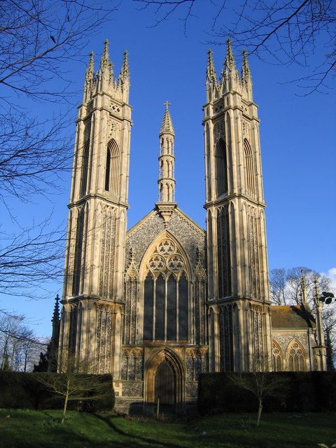
St Michael the Archangel's Church, Booton
St Michael the Archangel's Church is a redundant Anglican church near the village of Booton, Norfolk, England. It is listed in the National Heritage List...

Broadland (UK Parliament constituency)
Broadland is a Norfolk constituency, which has been represented in the House of Commons of the UK Parliament since the 2019 general election by Jerome...
Nearby Amenities
Located within 500m of 52.744434,1.1774349Have you been to West Belt?
Leave your review of West Belt below (or comments, questions and feedback).