Spring Plantation

Wood, Forest in Norfolk North Norfolk

England

Spring Plantation

Barley field by Cherry Tree Road
Barley field by Cherry Tree Road Credit: Hugh Venables

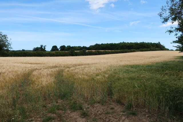
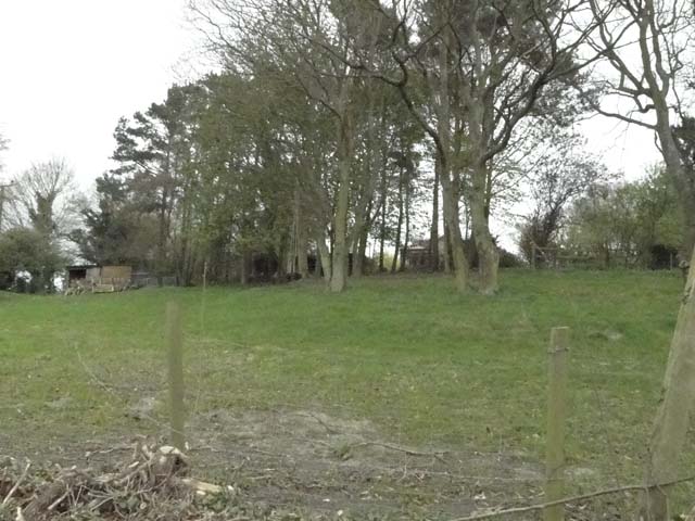
Spring Plantation is a picturesque woodland located in Norfolk, England. Nestled in the heart of the countryside, it spans over a vast area of lush greenery and is renowned for its diverse range of plant species and tranquil ambiance. The plantation is predominantly filled with a variety of deciduous and evergreen trees, making it a haven for nature enthusiasts and botanists alike.

The woodland is home to a rich and vibrant ecosystem, with an abundance of wildlife thriving within its boundaries. Visitors can spot numerous bird species, including woodpeckers, owls, and various songbirds, as they explore the plantation's well-maintained trails. The peaceful atmosphere and the gentle sound of rustling leaves create a serene environment, perfect for those seeking solace and tranquility.

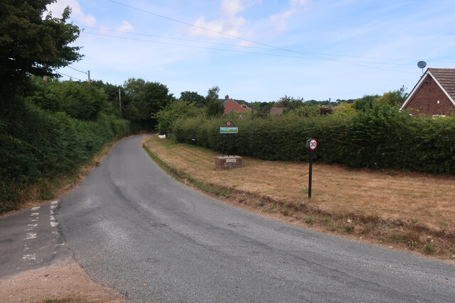
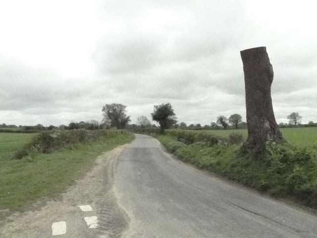
Spring Plantation offers an array of recreational activities for visitors to enjoy. Walking and hiking trails wind their way through the woodland, providing a chance to immerse oneself in the beauty of nature. The plantation also features picnic areas, making it an ideal spot for a family outing or a peaceful lunch amidst the trees.

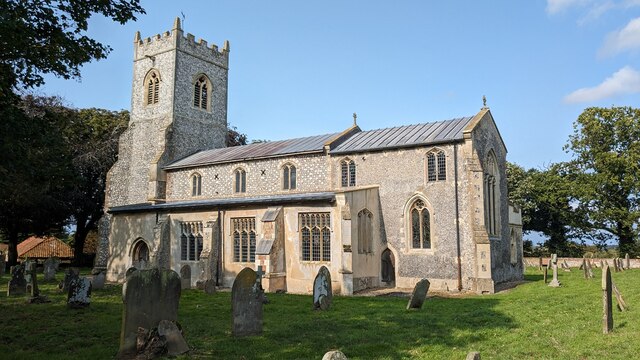
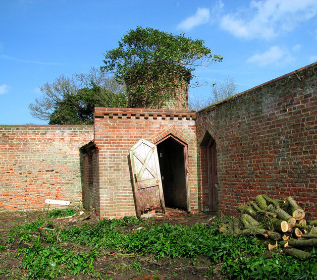
In addition to its natural beauty, Spring Plantation boasts a rich historical significance. The woodland was once part of a larger estate and has witnessed centuries of human activity. The remnants of an old manor house and a few scattered ruins can still be found, serving as a reminder of the area's past.

Overall, Spring Plantation is a captivating destination for those seeking a connection with nature, a peaceful retreat, or a glimpse into the region's history. With its diverse flora, thriving wildlife, and serene atmosphere, this Norfolk woodland presents a delightful experience for visitors of all ages.

If you have any feedback on the listing, please let us know in the comments section below.

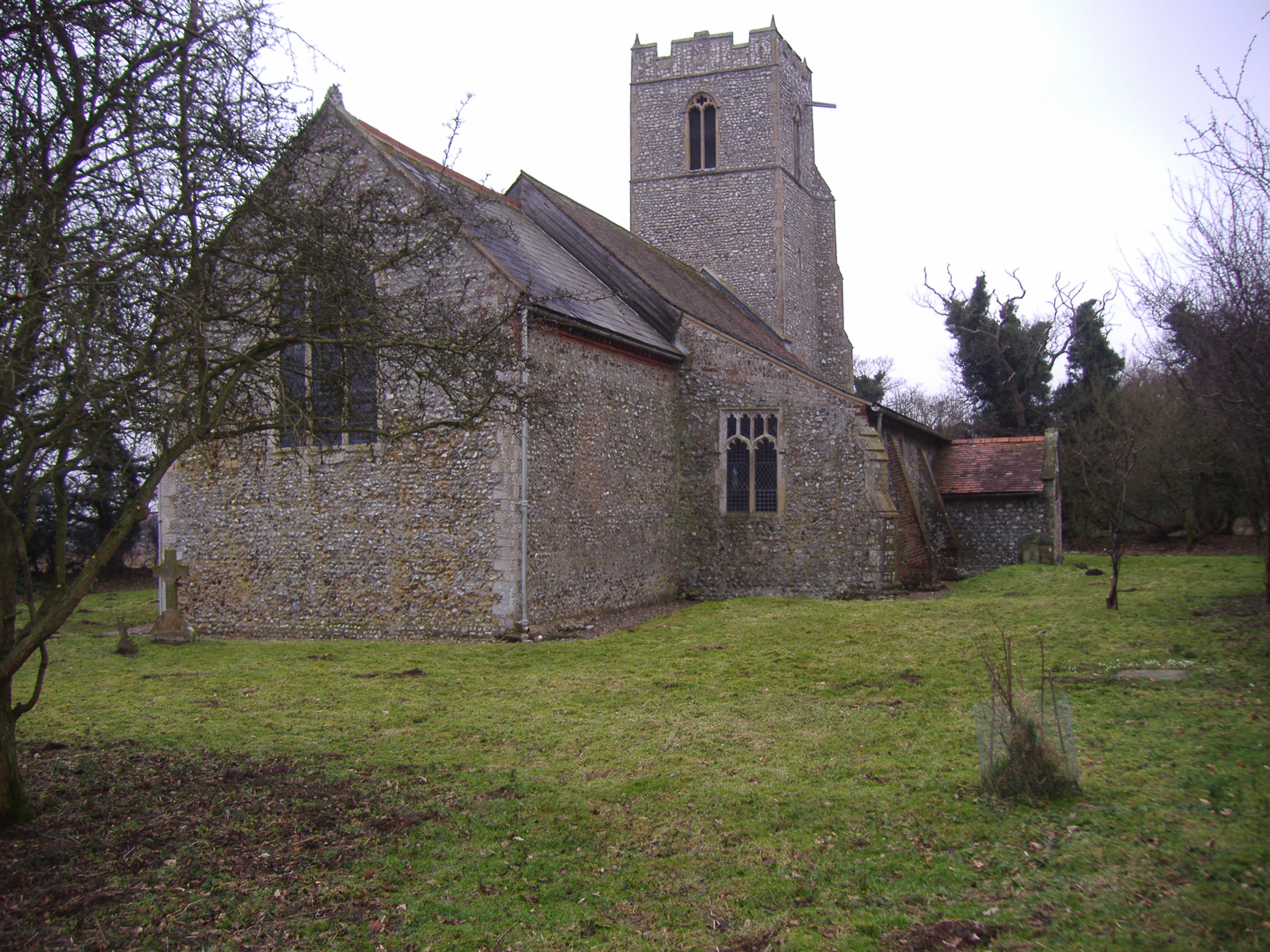
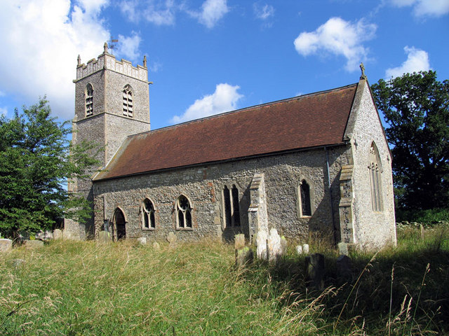
Spring Plantation Images

Images are sourced within 2km of 52.879654/1.1872298 or Grid Reference TG1436. Thanks to Geograph Open Source API. All images are credited.

Barley field by Cherry Tree Road
Plumstead Hall Farm
Plumstead Hall Farm
Cherry Tree Road, Plumstead
Church of St Mary, Baconsthorpe <span class="nowrap"><a title="https://historicengland.org.uk/listing/the-list/list-entry/1049847?section=official-list-entry" rel="nofollow ugc noopener" href="https://historicengland.org.uk/listing/the-list/list-entry/1049847?section=official-list-entry">Link</a><img style="margin-left:2px;" alt="External link" title="External link - shift click to open in new window" src="https://s1.geograph.org.uk/img/external.png" width="10" height="10"/></span>
Church of St Mary, Baconsthorpe
Church of St Peter, North Barningham <span class="nowrap"><a title="https://historicengland.org.uk/listing/the-list/list-entry/1373647?section=official-list-entry" rel="nofollow ugc noopener" href="https://historicengland.org.uk/listing/the-list/list-entry/1373647?section=official-list-entry">Link</a><img style="margin-left:2px;" alt="External link" title="External link - shift click to open in new window" src="https://s1.geograph.org.uk/img/external.png" width="10" height="10"/></span>
Church of St Peter, North Barningham
Church of St Mary, Barningham Winter <span class="nowrap"><a title="https://historicengland.org.uk/listing/the-list/list-entry/1049180?section=official-list-entry" rel="nofollow ugc noopener" href="https://historicengland.org.uk/listing/the-list/list-entry/1049180?section=official-list-entry">Link</a><img style="margin-left:2px;" alt="External link" title="External link - shift click to open in new window" src="https://s1.geograph.org.uk/img/external.png" width="10" height="10"/></span>
Church of St Mary, Barningham Winter
Church of St. Peter, Matlaske <span class="nowrap"><a title="https://historicengland.org.uk/listing/the-list/list-entry/1049184?section=official-list-entry" rel="nofollow ugc noopener" href="https://historicengland.org.uk/listing/the-list/list-entry/1049184?section=official-list-entry">Link</a><img style="margin-left:2px;" alt="External link" title="External link - shift click to open in new window" src="https://s1.geograph.org.uk/img/external.png" width="10" height="10"/></span>
Church of St. Peter, Matlaske
South Lodge to Barningham Hall <span class="nowrap"><a title="https://historicengland.org.uk/listing/the-list/list-entry/1049185?section=official-list-entry" rel="nofollow ugc noopener" href="https://historicengland.org.uk/listing/the-list/list-entry/1049185?section=official-list-entry">Link</a><img style="margin-left:2px;" alt="External link" title="External link - shift click to open in new window" src="https://s1.geograph.org.uk/img/external.png" width="10" height="10"/></span>
South Lodge to Barningham Hall
Church of St Michael, Plumstead <span class="nowrap"><a title="https://historicengland.org.uk/listing/the-list/list-entry/1152882?section=official-list-entry" rel="nofollow ugc noopener" href="https://historicengland.org.uk/listing/the-list/list-entry/1152882?section=official-list-entry">Link</a><img style="margin-left:2px;" alt="External link" title="External link - shift click to open in new window" src="https://s1.geograph.org.uk/img/external.png" width="10" height="10"/></span>
Church of St Michael, Plumstead
Dovecote by the entrance to Bessingham Manor (interior) This tower > <a title="https://www.geograph.org.uk/photo/2287318" href="https://www.geograph.org.uk/photo/2287318">Link</a> on a corner of the wall surrounding the manor house is described as having been a dovecote. I don't think that's correct: there is a very narrow spiral staircase inside going up all the way and according to the original plans it served as an obervatory.
Dovecote by the entrance to Bessingham Manor (interior)
This tower > Link on a corner of the wall surrounding the manor house is described as having been a dovecote. I don't think that's correct: there is a very narrow spiral staircase inside going up all the way and according to the original plans it served as an obervatory.
Dovecote by the entrance to Bessingham Manor This tower on a corner of the wall surrounding the manor house is described as having been a dovecote.  I don't think that's correct: there is a very narrow spiral staircase inside going up all the way > <a title="https://www.geograph.org.uk/photo/2334184" href="https://www.geograph.org.uk/photo/2334184">Link</a> - what purpose it served I do not know.
Dovecote by the entrance to Bessingham Manor
This tower on a corner of the wall surrounding the manor house is described as having been a dovecote. I don't think that's correct: there is a very narrow spiral staircase inside going up all the way > Link - what purpose it served I do not know.
Matlaske airfield monument
Half a tree is better than no tree Near Plumstead Hall Farm
Half a tree is better than no tree
Near Plumstead Hall Farm
Primroses and Plumstead Hall Farm
Plumstead church across the fields
Upland at Willow Glen
The Rectory, Town Barningham
East end of Northfield Lane
Show me another place!

Spring Plantation is located at Grid Ref: TG1436 (Lat: 52.879654, Lng: 1.1872298)

Administrative County: Norfolk

District: North Norfolk

Police Authority: Norfolk

What 3 Words

///ground.catapult.ample. Near Sheringham, Norfolk

Related Wikis

North Barningham

North Barningham is a hamlet within the civil parish of Gresham in the English county of Norfolk. The hamlet is 7 miles (11 km) south-west of Cromer, 23...

Matlaske

Matlaske is a village and a civil parish in the English county of Norfolk. The village is 21.6 miles (34.8 km) North-north-west of Norwich, 9.3 miles...

North Norfolk (UK Parliament constituency)

North Norfolk is a constituency represented in the House of Commons of the UK Parliament since 2019 by Duncan Baker, a Conservative. == Constituency... ==

Plumstead, Norfolk

Plumstead is a village and a civil parish in the English county of Norfolk. The village is 19.7 miles (31.7 km) north north west of Norwich, 9.5 miles...

Nearby Amenities

Located within 500m of 52.879654,1.1872298
Barrier: stile
Lat/Long: 52.8767686/1.1919646
Barrier: stile
Lat/Long: 52.8777561/1.1870451
Entrance: main
Lat/Long: 52.8757496/1.1883984
Barningham Winter
Note: Ecclesiastical parish
Place: hamlet
Lat/Long: 52.8761495/1.1878323
Give Way
Lat/Long: 52.8790264/1.1834802
Give Way
Lat/Long: 52.8791295/1.1833394
Give Way
Lat/Long: 52.8791313/1.1836387
The data included in this document is from www.openstreetmap.org. The data is made available under ODbL.

Have you been to Spring Plantation?

Leave your review of Spring Plantation below (or comments, questions and feedback).