Matlask
Civil Parish in Norfolk North Norfolk
England
Matlask
Matlask is a civil parish located in the North Norfolk district of Norfolk, England. It is a small village situated about 3 miles south-east of the market town of Holt. Matlask is surrounded by beautiful countryside and farmland, providing a picturesque and tranquil setting for its residents.
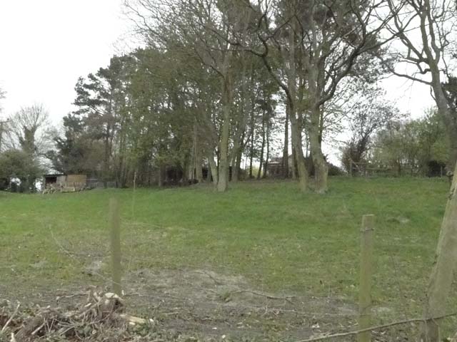
The village itself is relatively small, with a population of around 120 people. It is characterized by a mix of traditional and modern houses, many of which are constructed from local flint and brick. Matlask has a charming, rural feel, with winding country lanes and open fields dotted with grazing livestock.
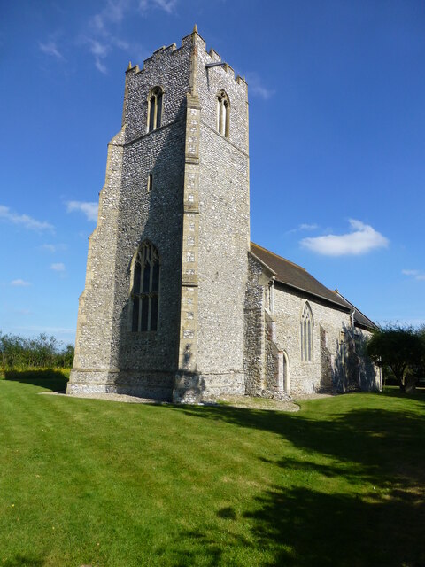
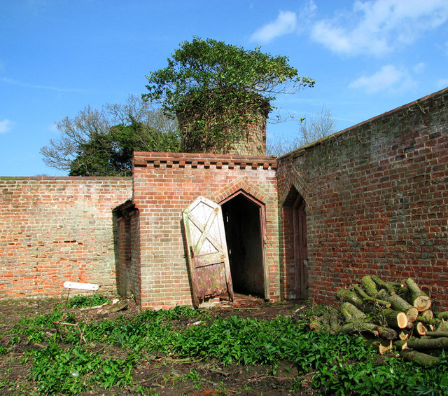
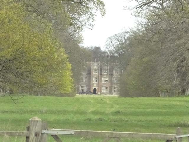
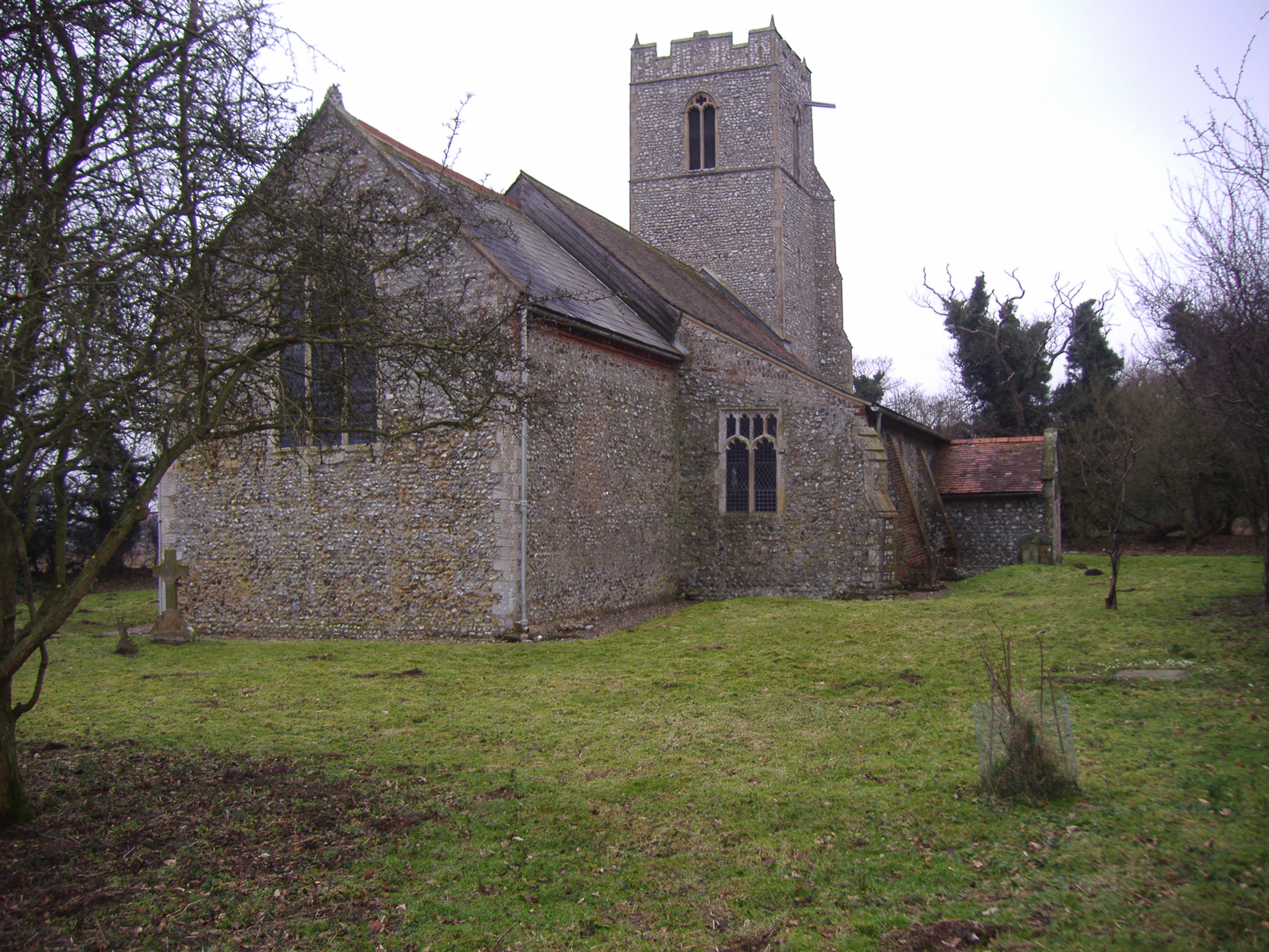
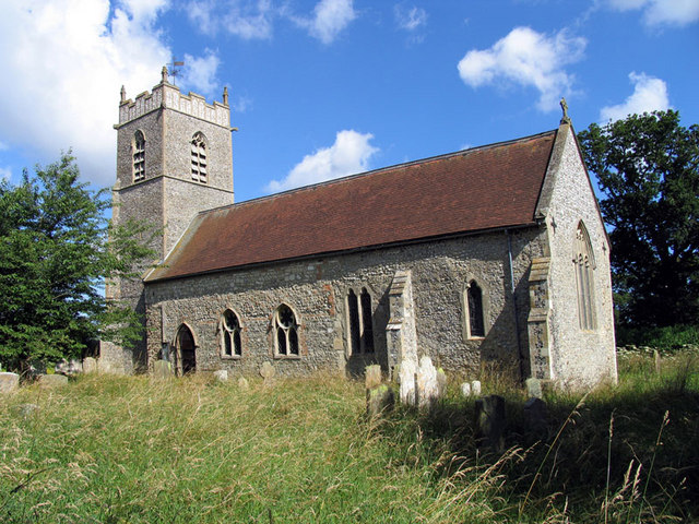
Despite its size, Matlask has a rich history. The village is mentioned in the Domesday Book of 1086 and has several notable historic buildings, including the Grade II listed Matlask Hall. This elegant country house dates back to the 17th century and is a fine example of Jacobean architecture.
Matlask is well-connected to surrounding areas by road, with the A148 passing through the nearby village of Baconsthorpe. This provides easy access to Holt, Cromer, and the North Norfolk coast. The village lacks amenities such as shops or schools, but residents can find these in nearby towns.
For those seeking a peaceful rural lifestyle, Matlask offers a charming and idyllic place to call home. Its stunning countryside, historic buildings, and close proximity to the Norfolk coast make it an attractive location for residents and visitors alike.
If you have any feedback on the listing, please let us know in the comments section below.
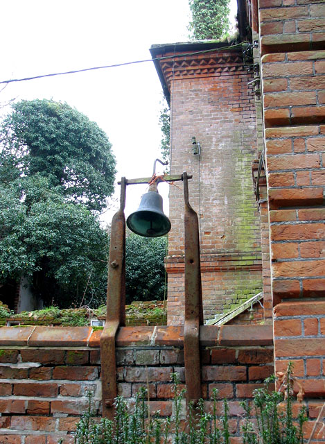
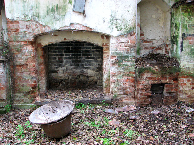
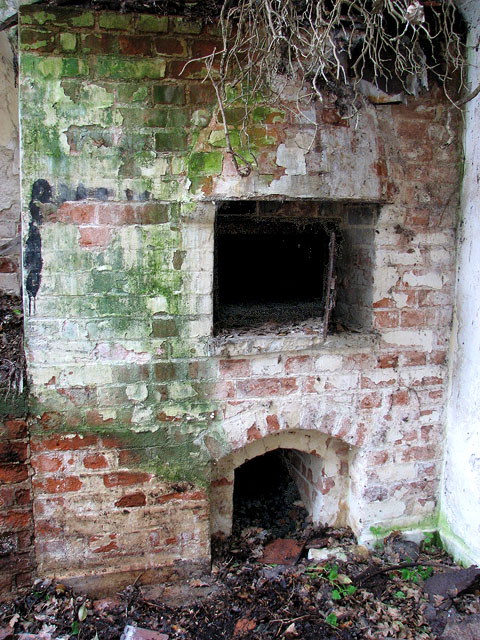
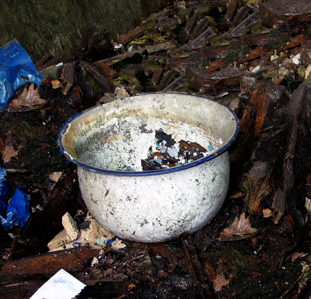
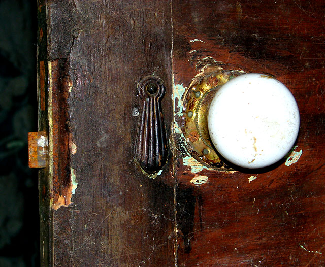
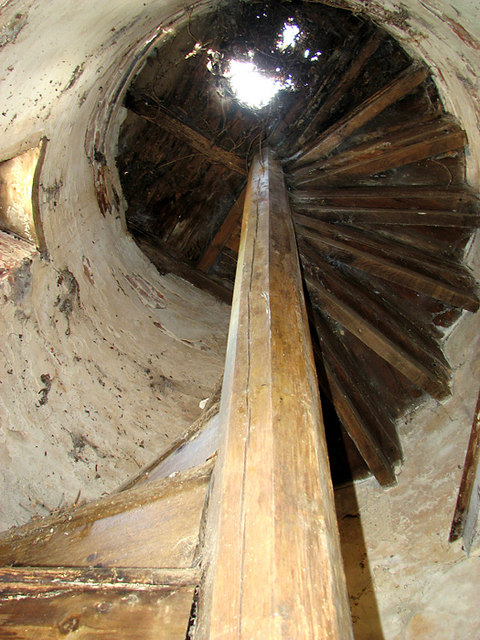
Matlask Images
Images are sourced within 2km of 52.879284/1.192255 or Grid Reference TG1436. Thanks to Geograph Open Source API. All images are credited.


Matlask is located at Grid Ref: TG1436 (Lat: 52.879284, Lng: 1.192255)
Administrative County: Norfolk
District: North Norfolk
Police Authority: Norfolk
What 3 Words
///worry.clasping.feasted. Near Sheringham, Norfolk
Nearby Locations
Related Wikis
North Barningham
North Barningham is a hamlet within the civil parish of Gresham in the English county of Norfolk. The hamlet is 7 miles (11 km) south-west of Cromer, 23...

Matlaske
Matlaske is a village and a civil parish in the English county of Norfolk. The village is 21.6 miles (34.8 km) North-north-west of Norwich, 9.3 miles...

North Norfolk (UK Parliament constituency)
North Norfolk is a constituency represented in the House of Commons of the UK Parliament since 2019 by Duncan Baker, a Conservative. == Constituency... ==
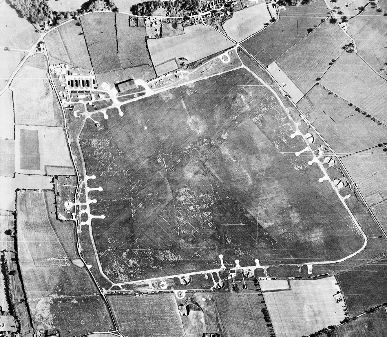
RAF Matlaske
Royal Air Force Matlaske or more simply RAF Matlaske is a former Royal Air Force satellite station to RAF Coltishall, situated near Matlaske in Norfolk...
Plumstead, Norfolk
Plumstead is a village and a civil parish in the English county of Norfolk. The village is 19.7 miles (31.7 km) north north west of Norwich, 9.5 miles...
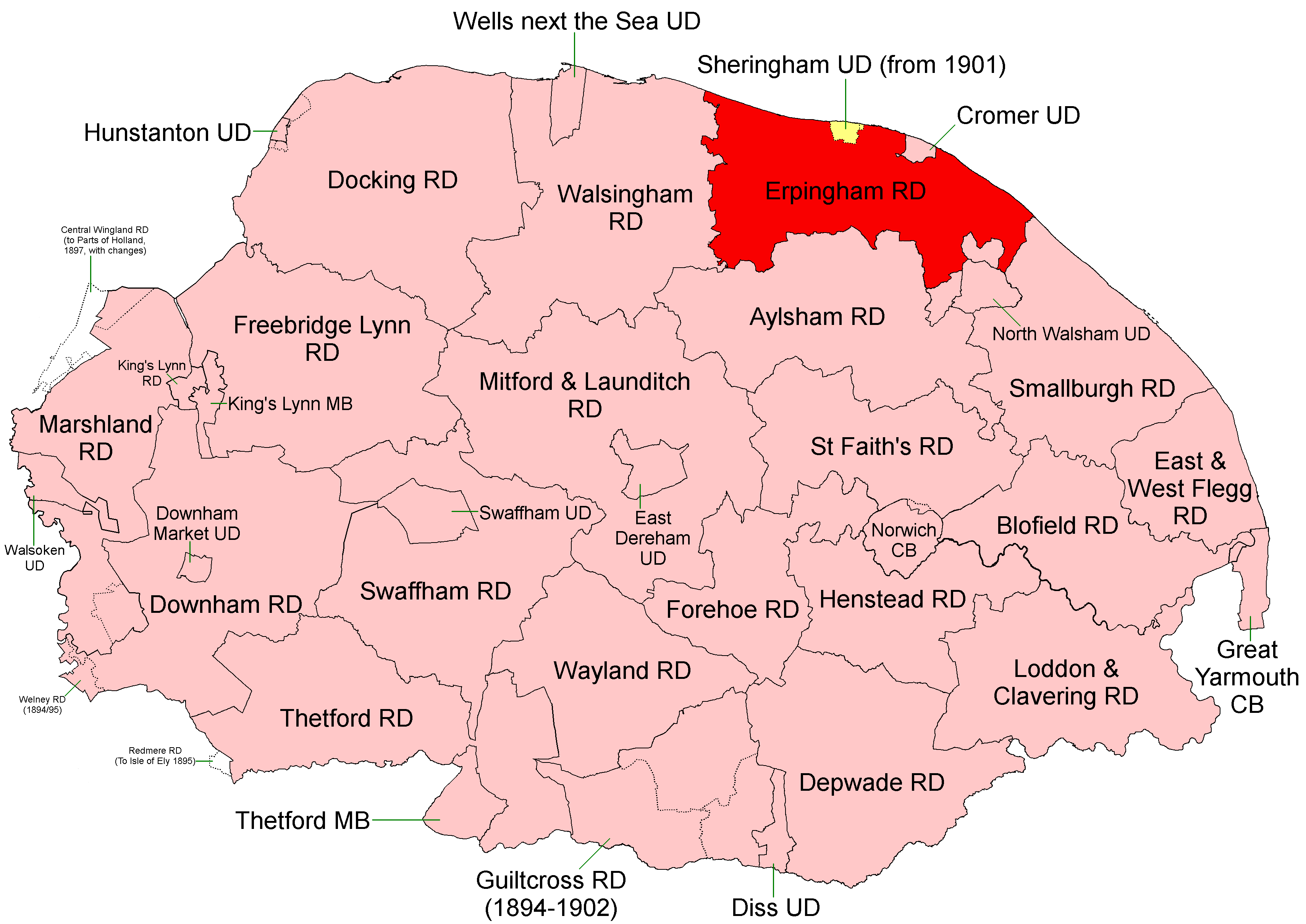
Erpingham Rural District
Erpingham Rural District was a rural district in Norfolk, England from 1894 to 1974.It was formed under the Local Government Act 1894 based on the Erpingham...

Bessingham
Bessingham is a village and former civil parish, now in the parish of Sustead, in the North Norfolk district of the English county of Norfolk. It lies...

Gresham Castle
Gresham Castle is located south of the village of Gresham in the north of the English county of Norfolk. The medieval castle was actually a fortified manor...
Nearby Amenities
Located within 500m of 52.879284,1.192255Have you been to Matlask?
Leave your review of Matlask below (or comments, questions and feedback).